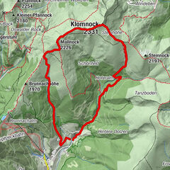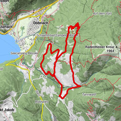


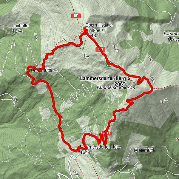
Dati percorsi
7,35km
1.631
- 2.060m
423hm
442hm
01:58h
- Descrizione rapida
-
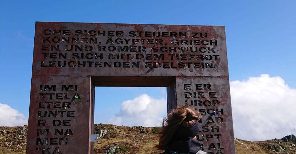
Granattor Runde
- Difficoltà
-
facile
- Valutazione
-
- Percorso
-
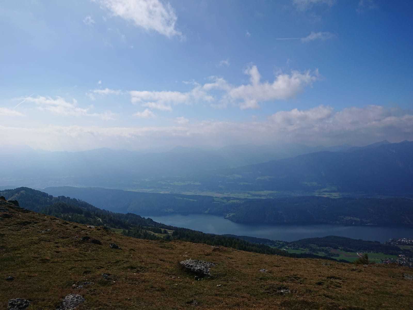
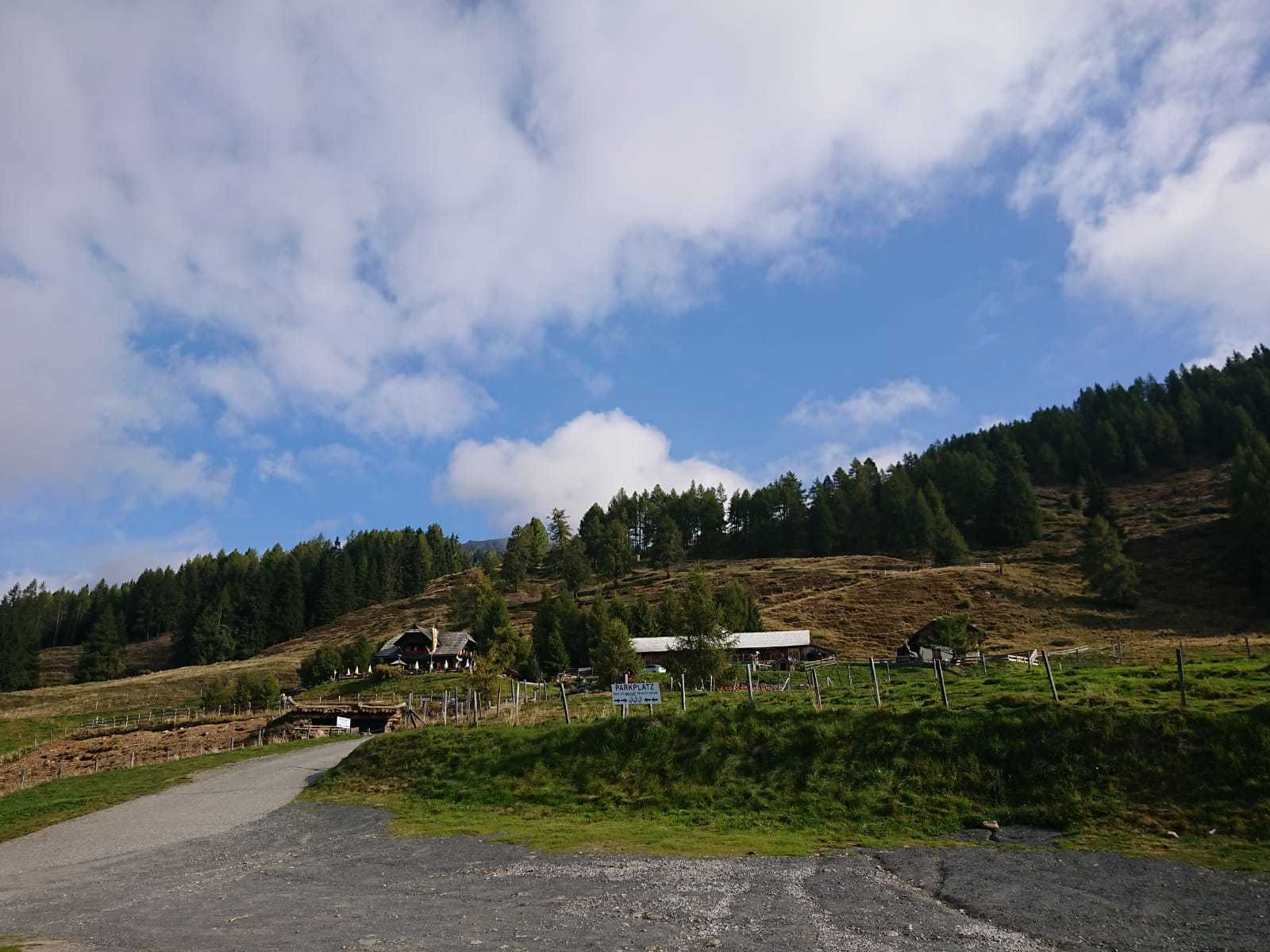
Lammersdorfer Hütte0,0 kmLammersdorfer Berg (2.063 m)3,0 kmGranattor3,4 kmLammersdorfer Hütte7,3 km
- La stagione migliore
-
genfebmaraprmaggiulugagosetottnovdic
- Punto più alto
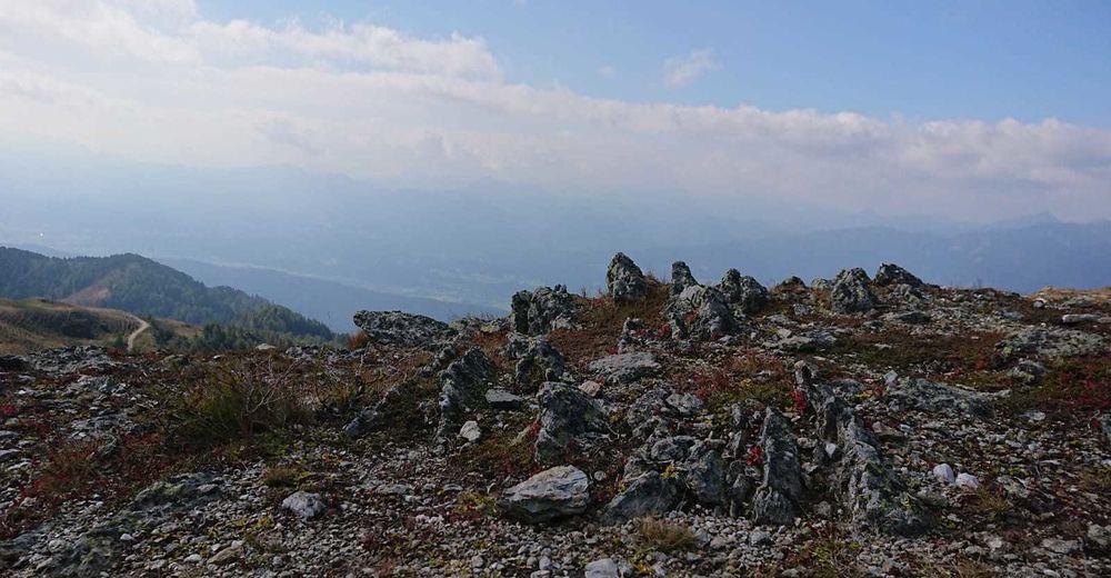
- 2.060 m


GPS Downloads


Condizioni dei sentieri
Asfalto
Ghiaia
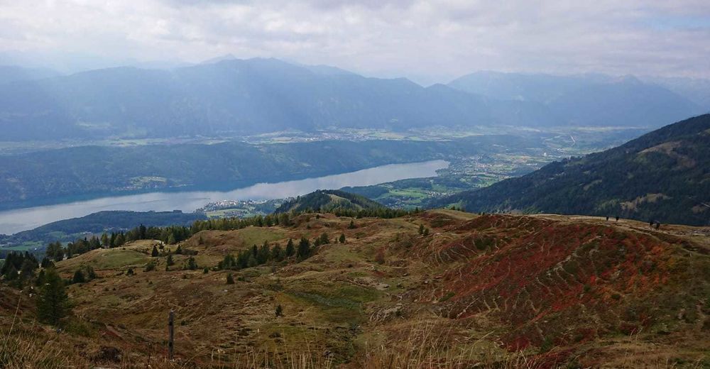
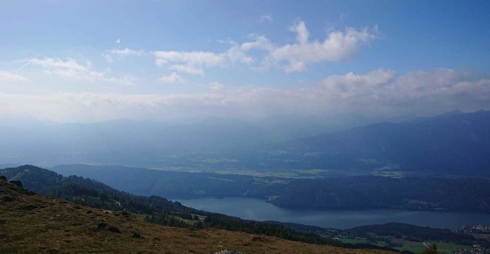
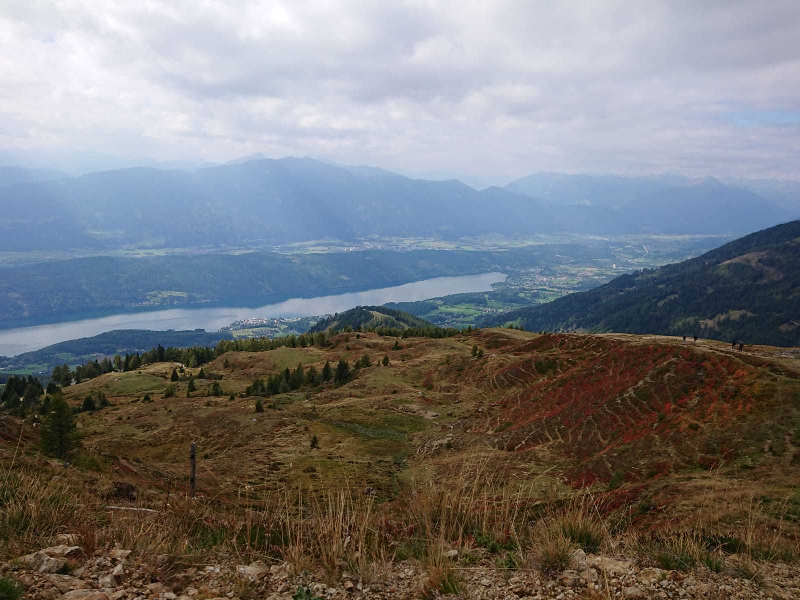
Prato
Foresta
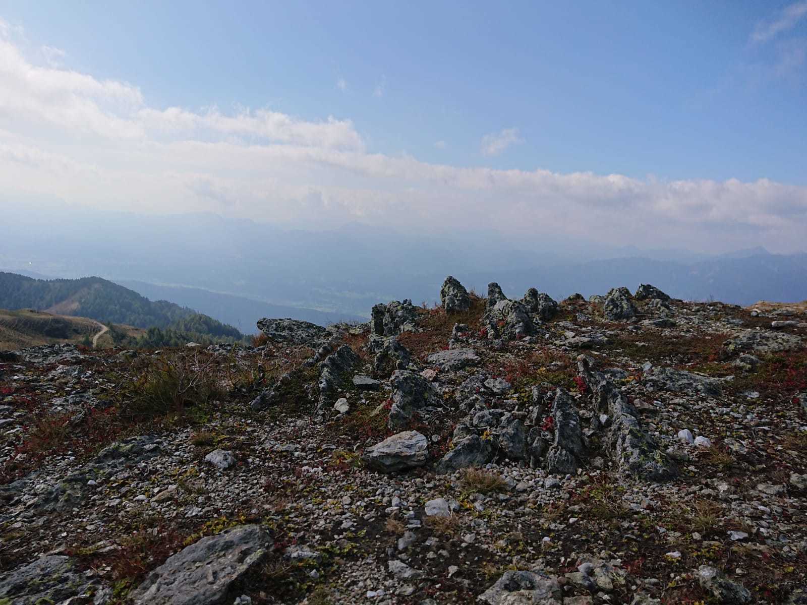
Roccia
Esposta
Altri tour nelle regioni