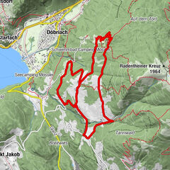
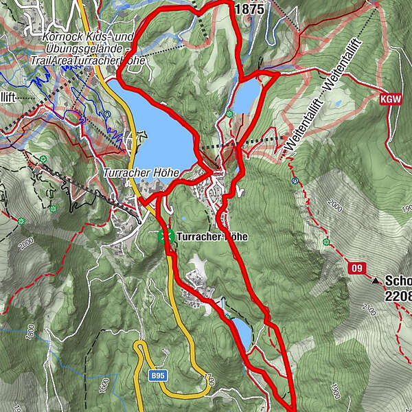
3 lakes circular trail on the Turracher Höhe

Sentiero tematico

© Tourismusverband Region Murau - Attisani

© Tourismusverband Region Murau - Attisani

© Tourismusverband Region Murau - Attisani

- Descrizione rapida
-
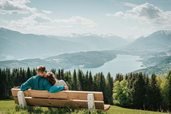
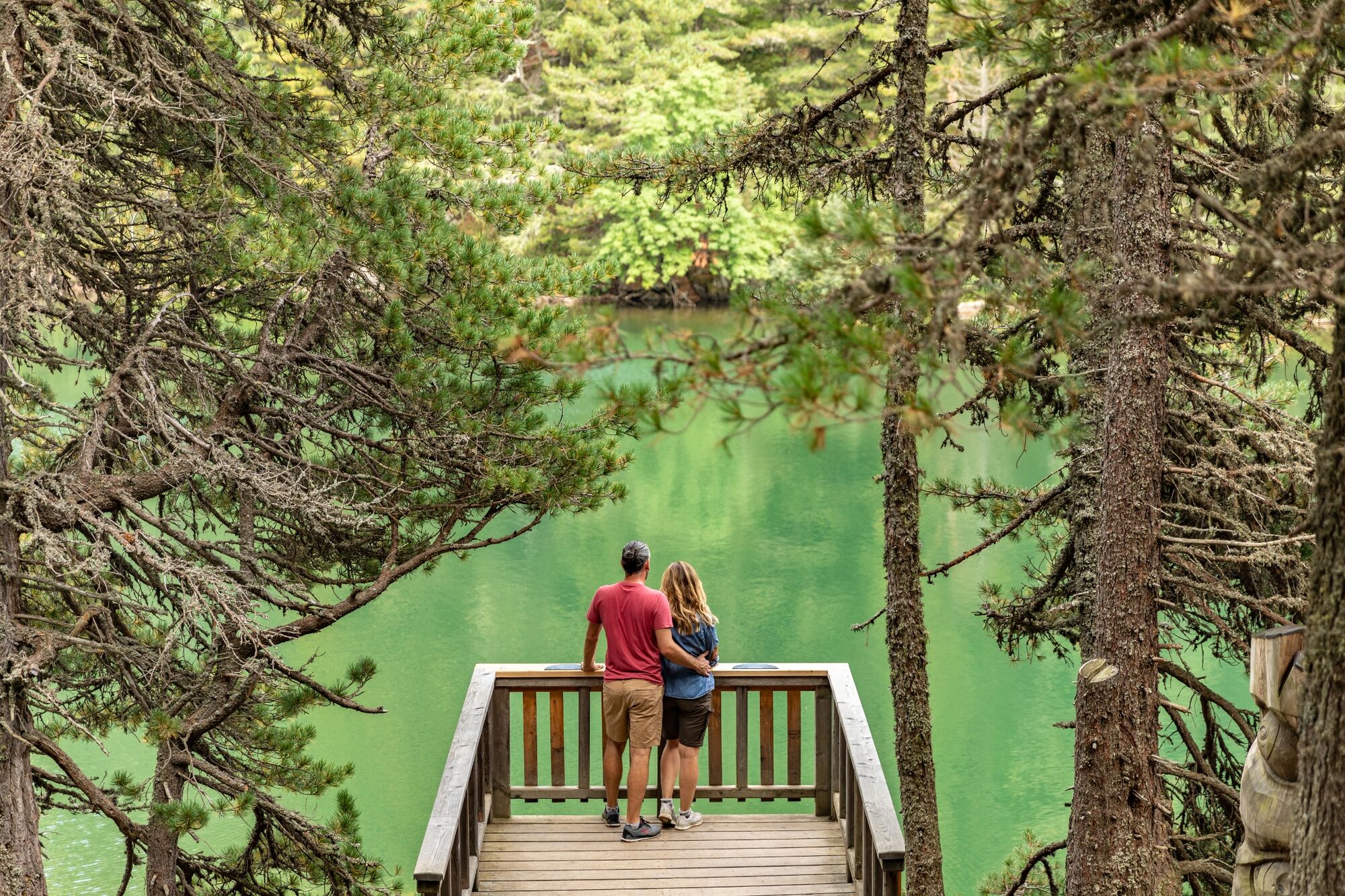
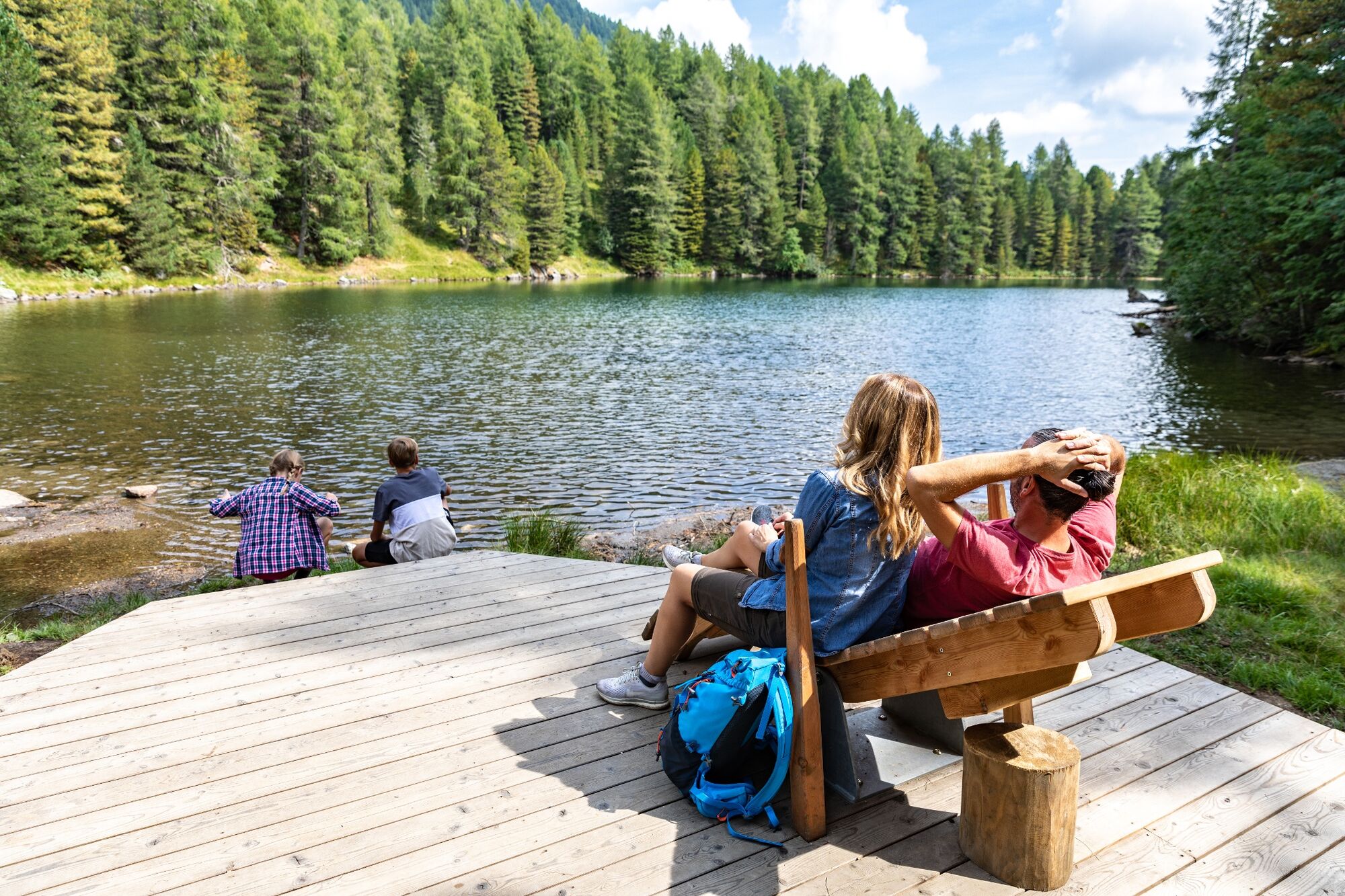
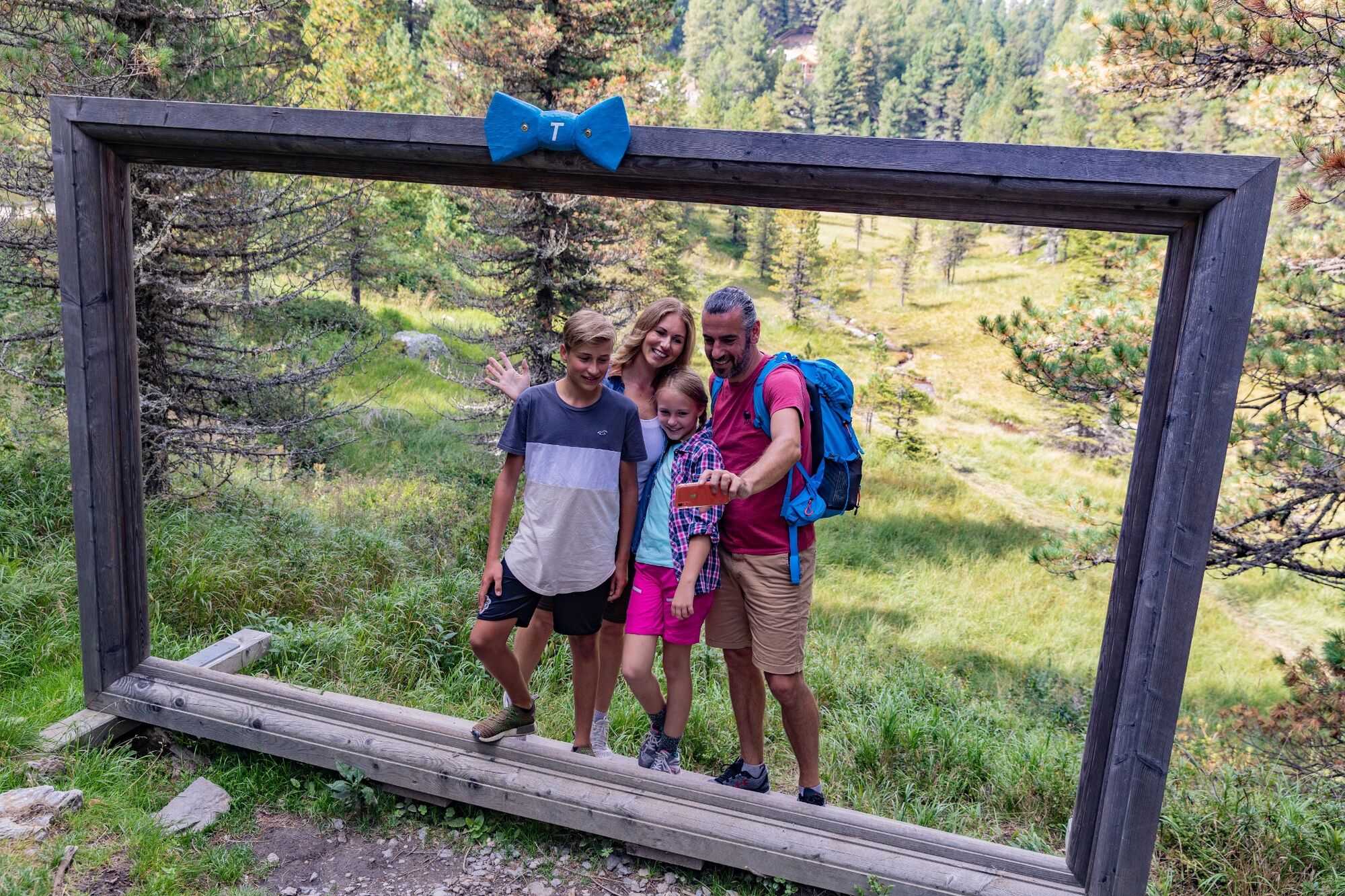
Turracher Höhe, located in the middle of the Nockberge mountains, is an idyllic high plateau at 1,763 m above sea level. Turracher See, Schwarzsee and Grünsee are framed by the peaks of the Nockberge mountains. And these are, after all, as high as 2,441 m (Eisenhut). Together with the largest contiguous Swiss pine forests in Austria, the ideal setting for any kind of exercise in nature awaits us on the Turracher Höhe.
- Difficoltà
-
facile
- Valutazione
-
- Percorso
-
Karlhütte1,4 kmSölleneck (1.903 m)4,9 kmHüttenplatz'l5,1 km
- La stagione migliore
-
genfebmaraprmaggiulugagosetottnovdic
- Punto più alto
- 1.875 m
- Destinazione
-
Turracher Lake
- Profilo altimetrico
-

- Autore
-
Il tour 3 lakes circular trail on the Turracher Höhe è utilizzato da outdooractive.com fornito.
GPS Downloads


Info generali
Punto di ristoro
Flora
Fauna
Promettente
Altri tour nelle regioni