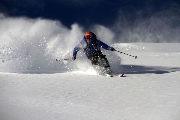
© NLW Tourismus Marketing GmbH - Gerhard Hohenwarter
© NLW Tourismus Marketing GmbH - Gerhard Hohenwarter
© NLW Tourismus Marketing GmbH - Gerhard Hohenwarter
© NLW Tourismus Marketing GmbH - Gerhard Hohenwarter
© NLW Tourismus Marketing GmbH - Gerhard Hohenwarter


- Descrizione rapida
-
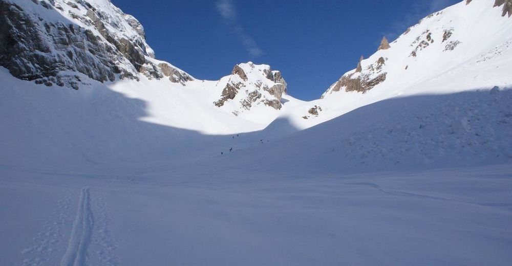
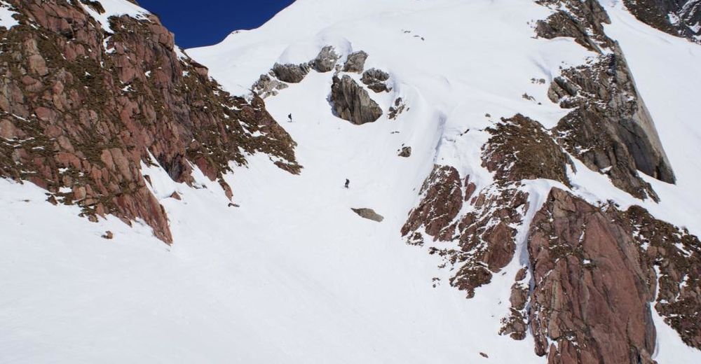
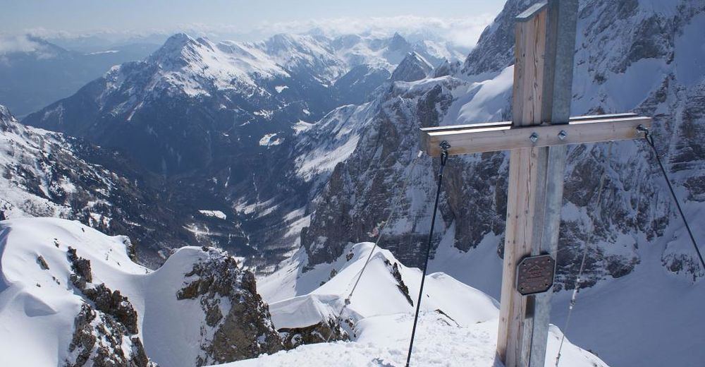
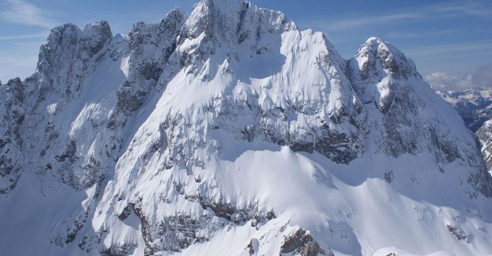
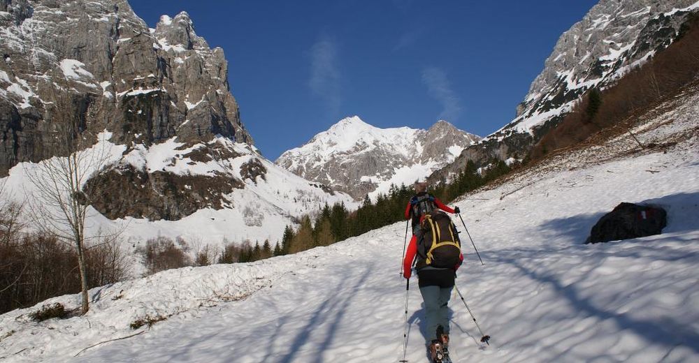
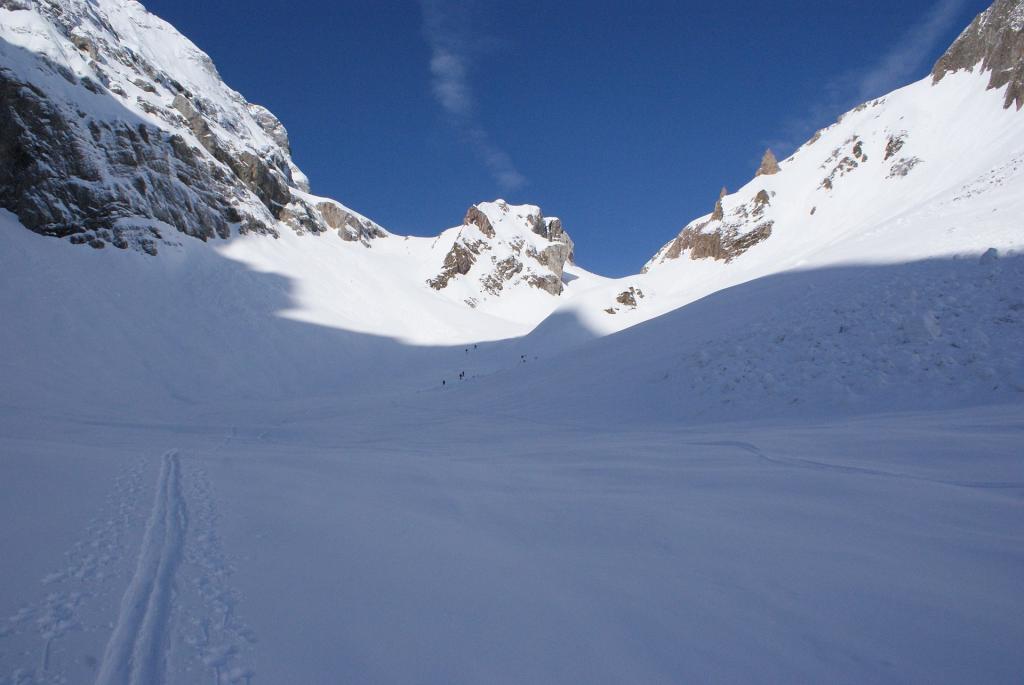
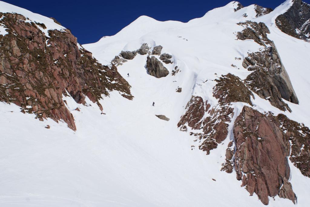
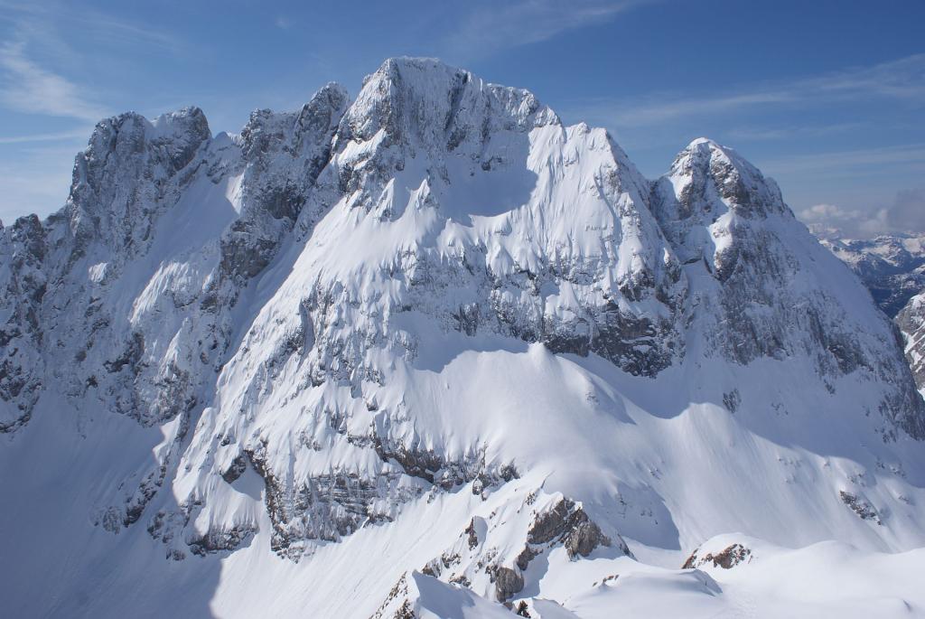
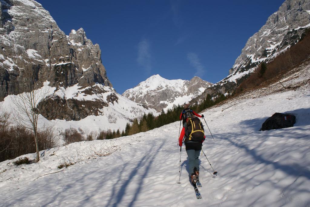
At first, the ascent takes place via forest paths or the summer ascent through the forest up to the Upper Valentine Alp. There, one dives into the mighty scenario under the mighty northern walls of the Kellerwand and Hohe Warte. Through the so-called Hochtal (high valley) the path leads to Valentintörl. For fit ski tourers, the ascent leads even further up to the Rauchkofel.
- Difficoltà
-
intermedio
- Valutazione
-
- Percorso
-
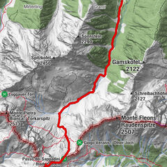
Almgasthof Valentinalm (1.220 m)0,7 kmRauchkofel (2.460 m)6,4 kmBimbaumer Törl (2.080 m)8,6 kmObere Valentinalm12,1 kmAlmgasthof Valentinalm (1.220 m)14,1 km
- La stagione migliore
-
agosetottnovdicgenfebmaraprmaggiulug
- Punto più alto
- 2.394 m
- Destinazione
-
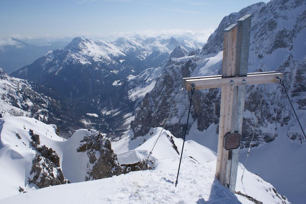
Rauchkofel
- Exposition
- Profilo altimetrico
-

- Autore
-
Il tour Rauchkofel è utilizzato da outdooractive.com fornito.
GPS Downloads


Info generali
Promettente
Altri tour nelle regioni