
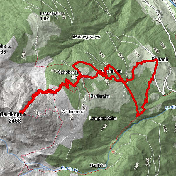
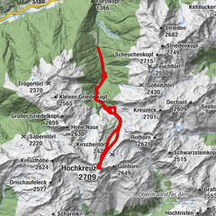
Dati percorsi
9,1km
1.350
- 2.458m
1.100hm
1.100hm
03:00h
- Descrizione rapida
-
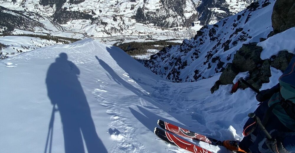
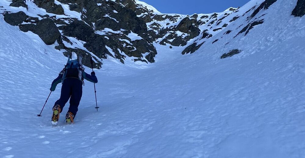
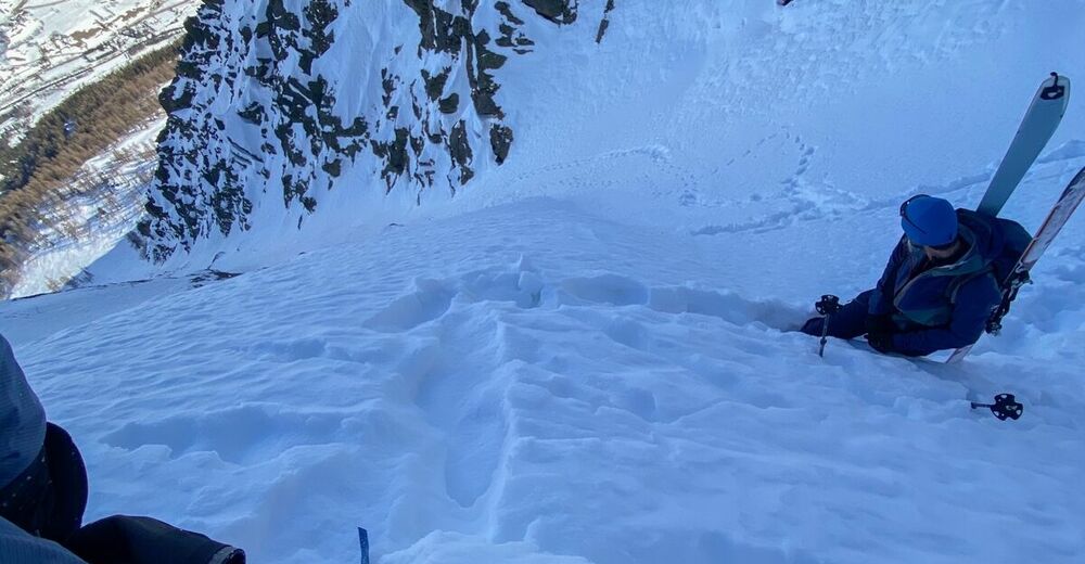
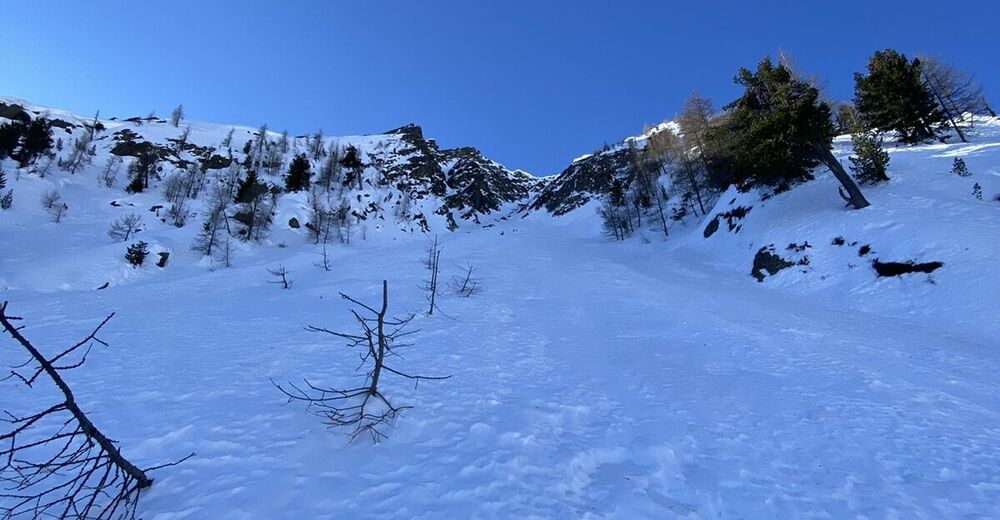
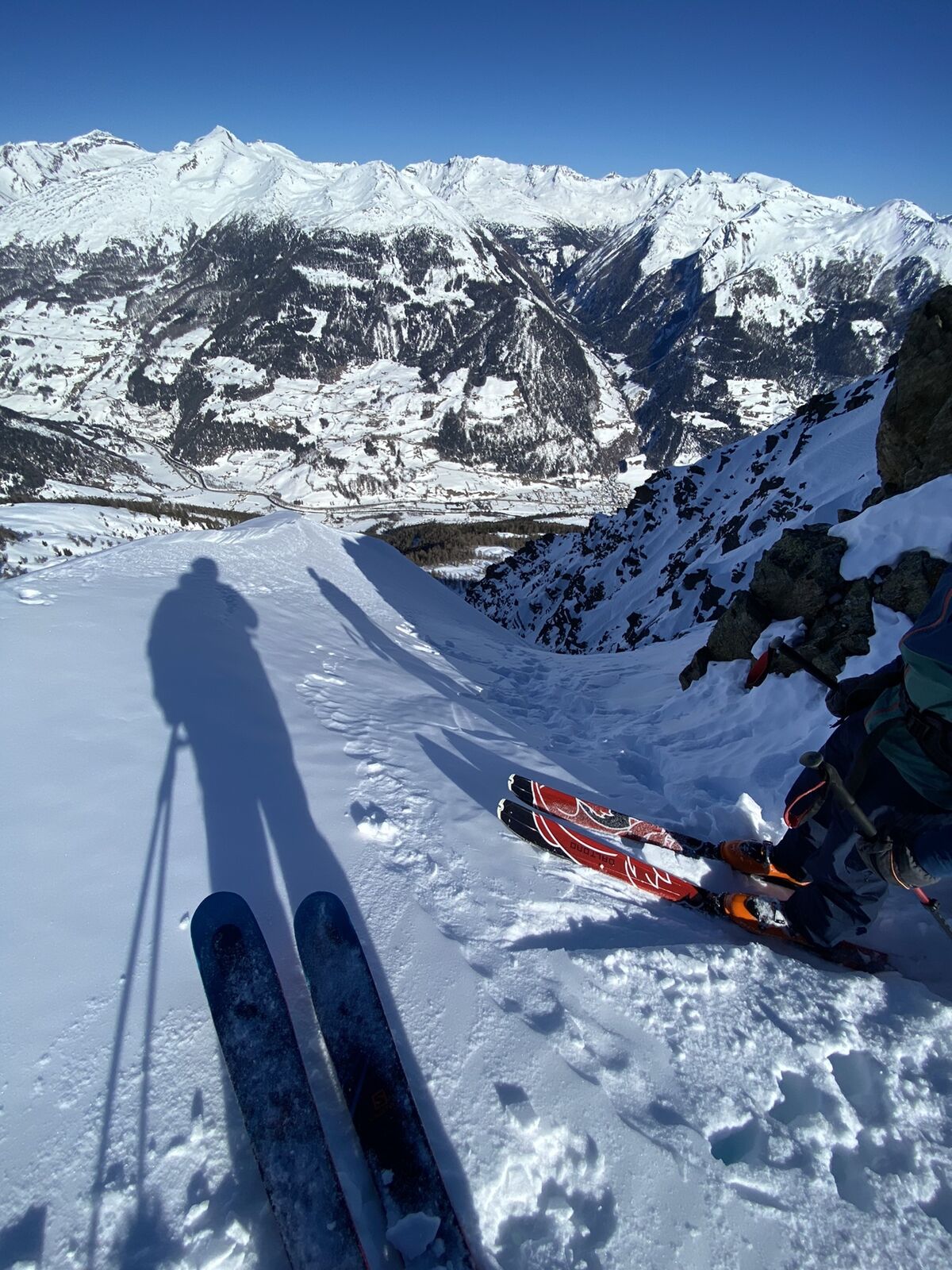
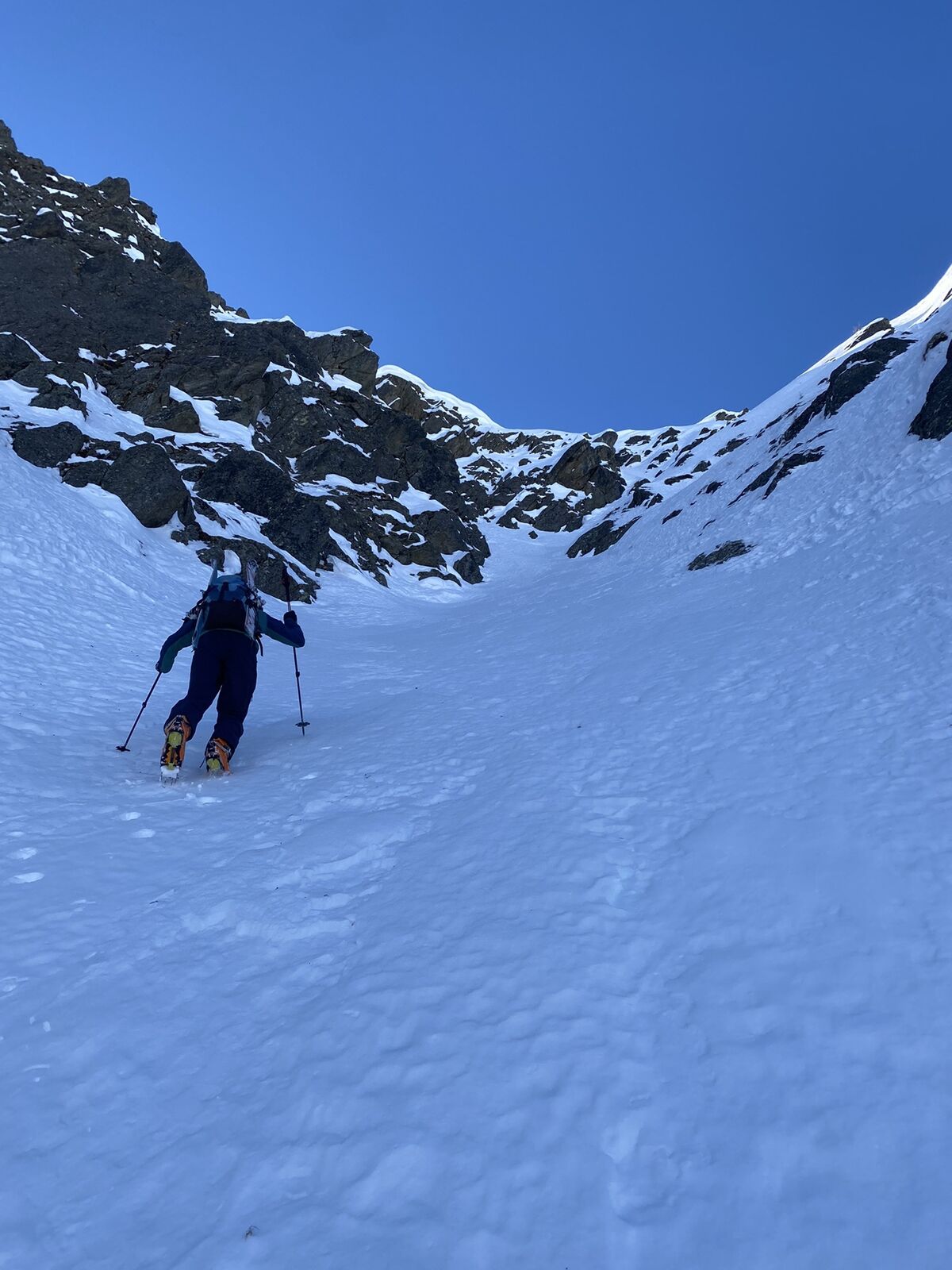
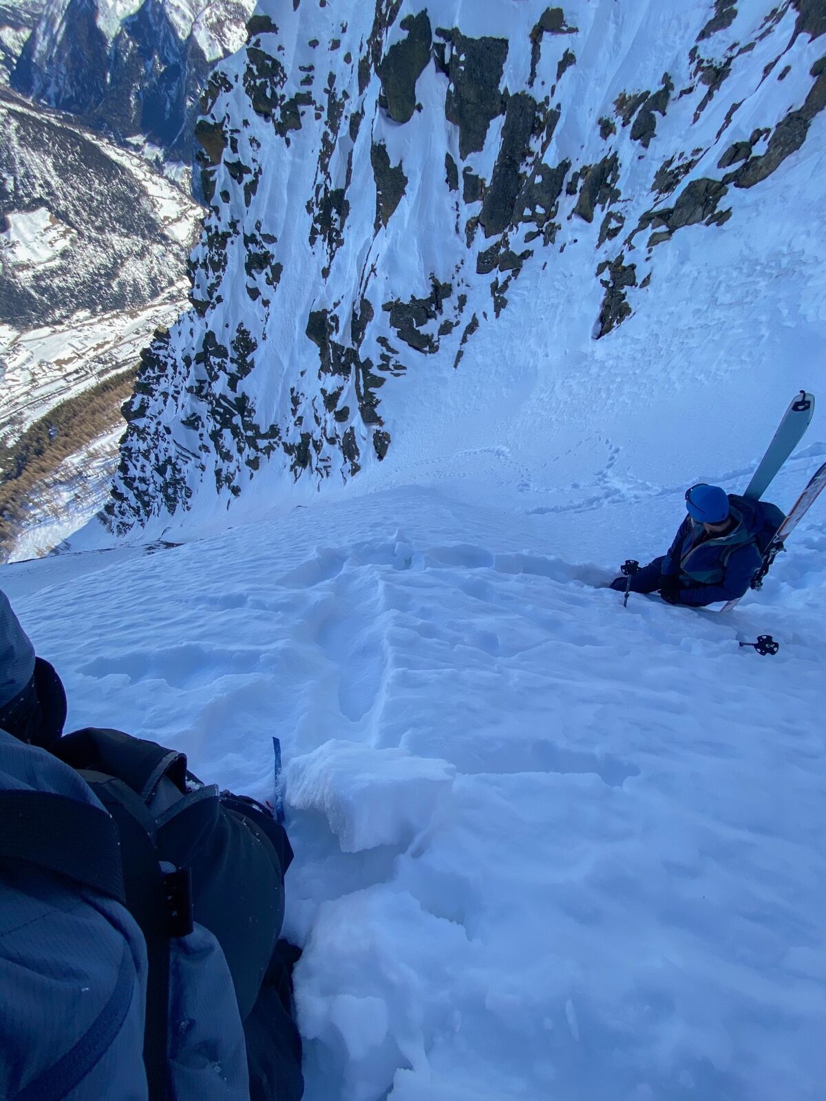
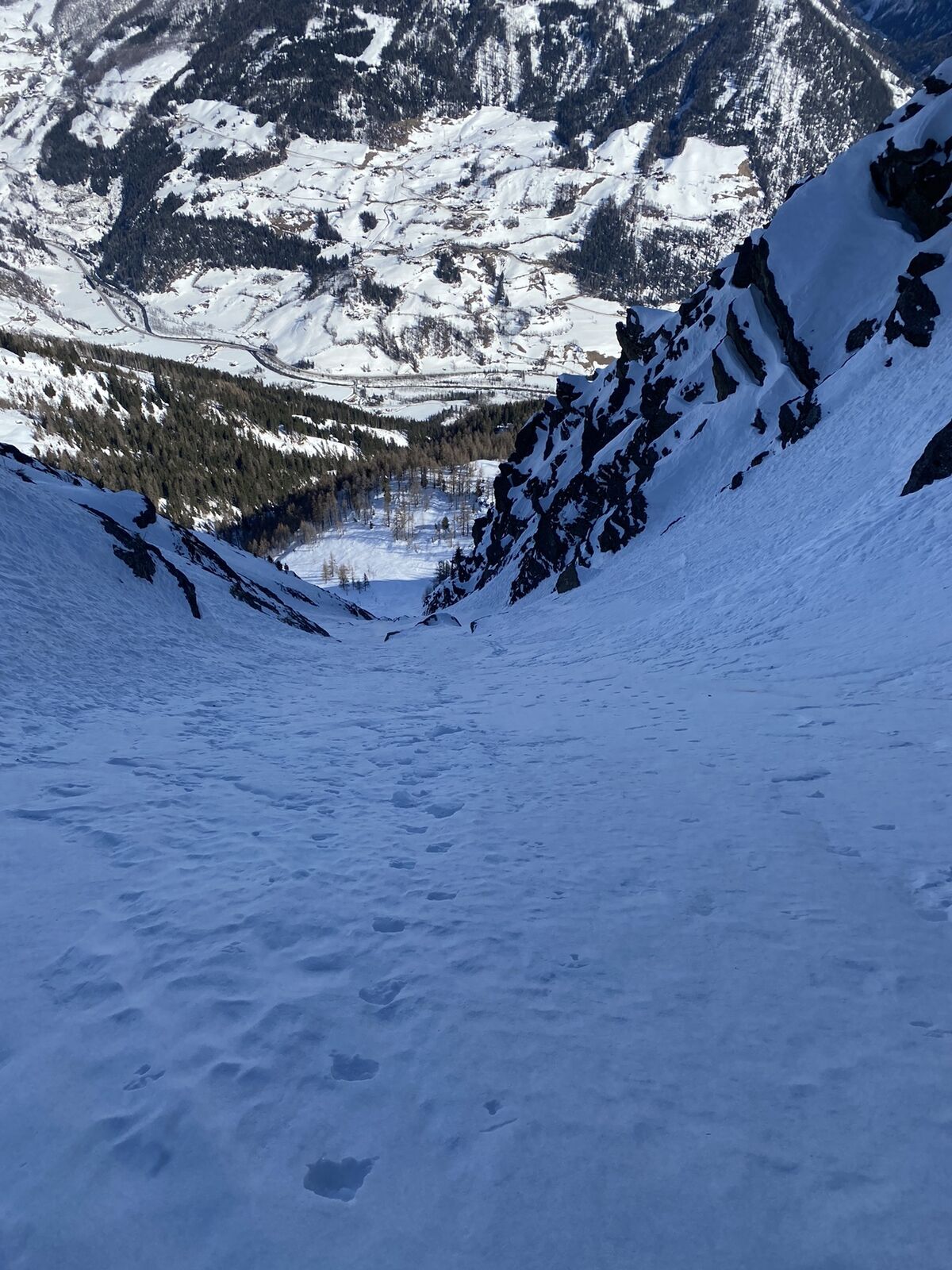
Vom Parkplatz Ranach dem Wanderweg bis zur Schoberalm folgen. Anschließend geht's Richtung Wetterkreuz unterm Gartlkopf weiter. Kurz davor nach rechts, um die ca. 40-45 Grad (50 Grad stellenweise möglich) steile Rinne zu erreichen.
- Difficoltà
-
difficile
- Valutazione
-
- Percorso
-
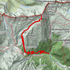
Ranach0,0 kmGartlkopf (2.458 m)5,5 kmRanach8,9 km
- La stagione migliore
-
agosetottnovdicgenfebmaraprmaggiulug
- Punto più alto
- 2.458 m

GPS Downloads


Altri tour nelle regioni

")