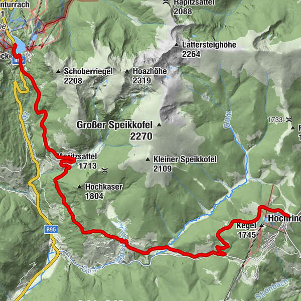
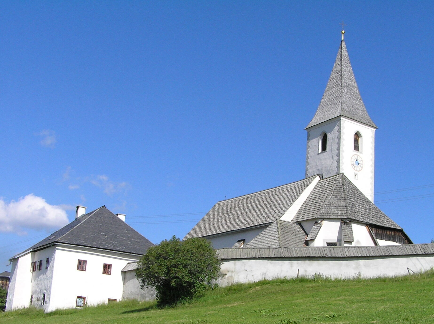
Hemmapilgerweg Route Turrach, 1. Etappe: Turrach - Hochrindl

Pellegrinaggio

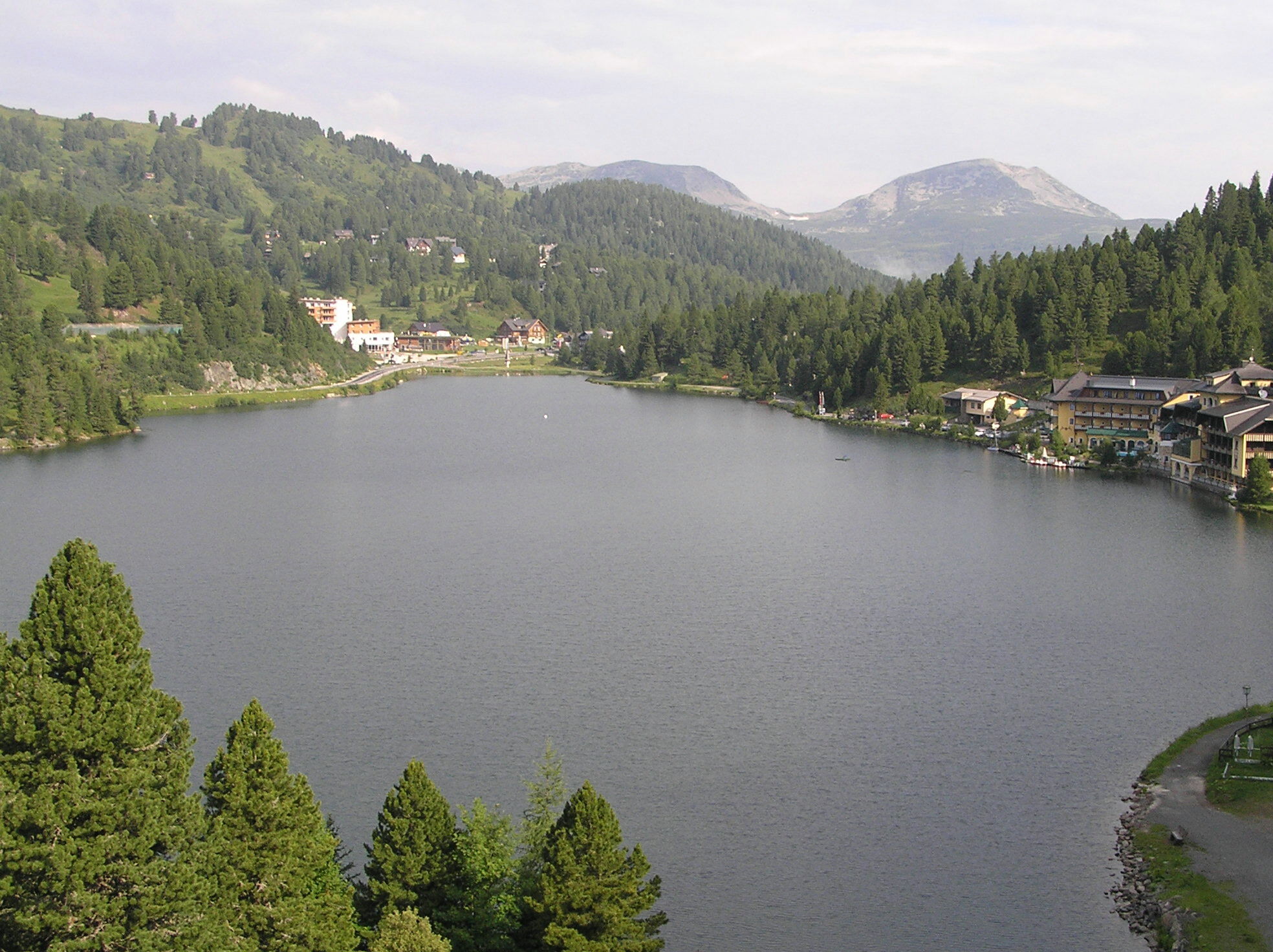
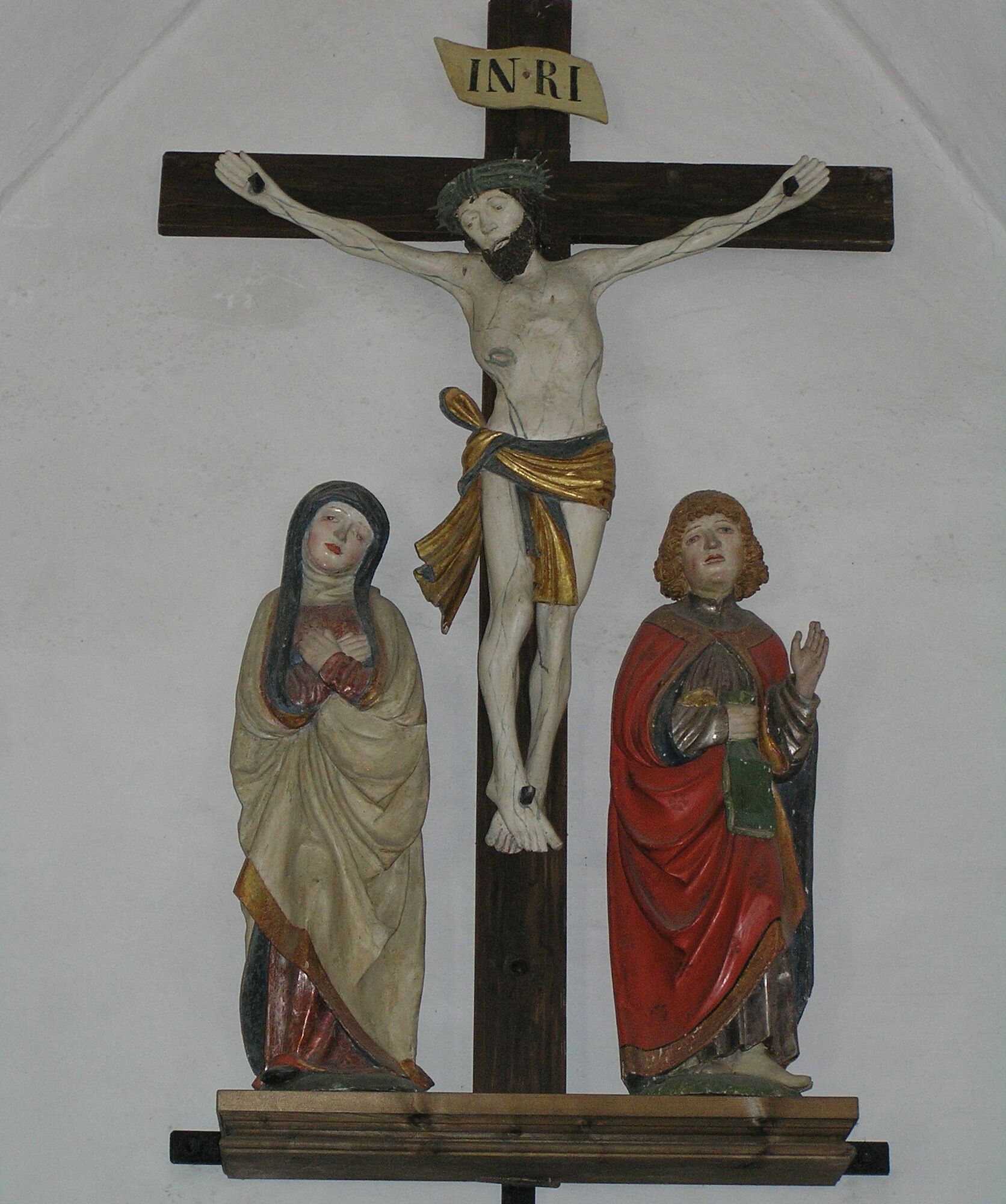
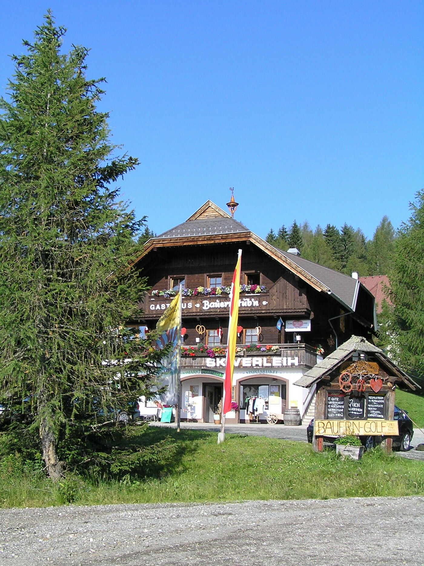
© Monika Gschwandner-Elkins - Monika Gschwandner

© Monika Gschwandner-Elkins - Monika Gschwandner

© Monika Gschwandner-Elkins - Monika Gschwandner

© Monika Gschwandner-Elkins - Monika Gschwandner

- Descrizione rapida
-
1. Tagesetappe
Turrach - Hochrindl
Länge: 19,3 km
Gehzeit: 5 Stunden
- Difficoltà
-
intermedio
- Valutazione
-
- Percorso
-
Christophorus BergkircheGrünseeblick1,9 kmKarlhütte2,1 kmSankt Lorenzen11,9 kmWugganighütte16,6 kmHiaslalm (1.676 m)18,9 kmHochrindl20,0 kmSternen Berg Gasthof20,0 km
- La stagione migliore
-
genfebmaraprmaggiulugagosetottnovdic
- Punto più alto
- 1.796 m
- Destinazione
-
Hochrindl
- Profilo altimetrico
-

- Autore
-
Il tour Hemmapilgerweg Route Turrach, 1. Etappe: Turrach - Hochrindl è utilizzato da outdooractive.com fornito.
GPS Downloads


Altri tour nelle regioni


