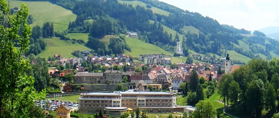
MTB 5 - Schulterkogel Tour - Bad St. Leonhard

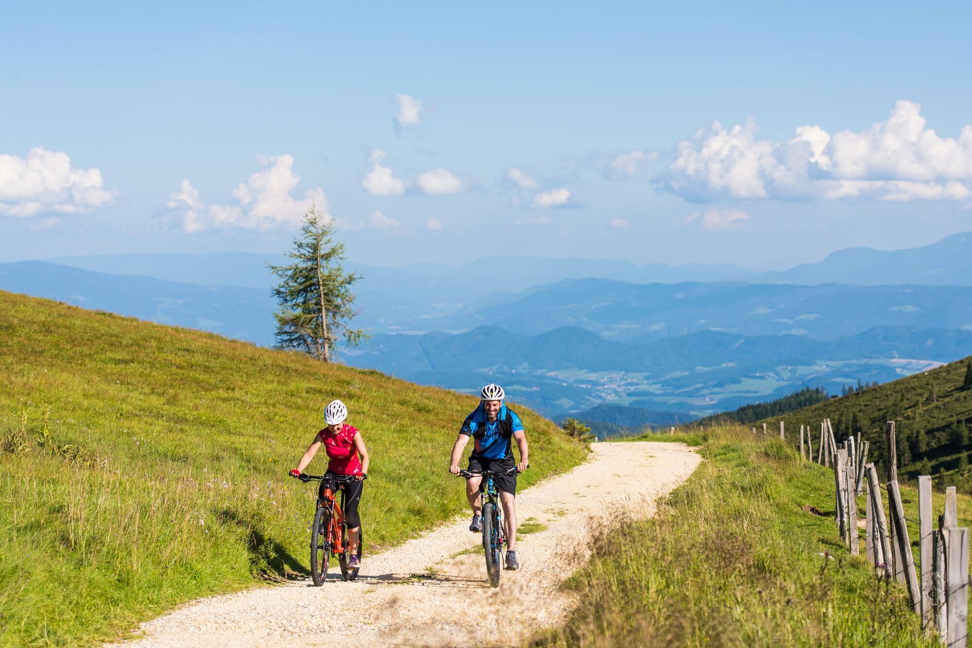
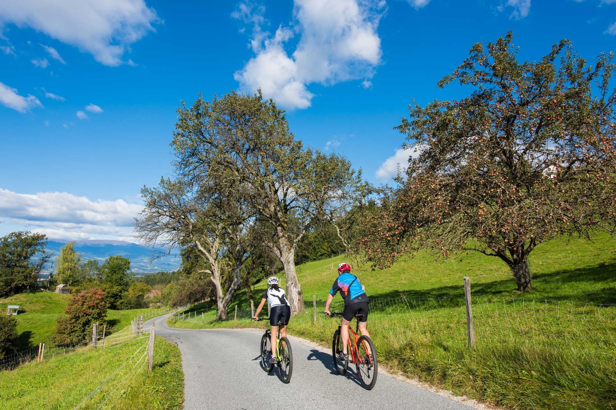
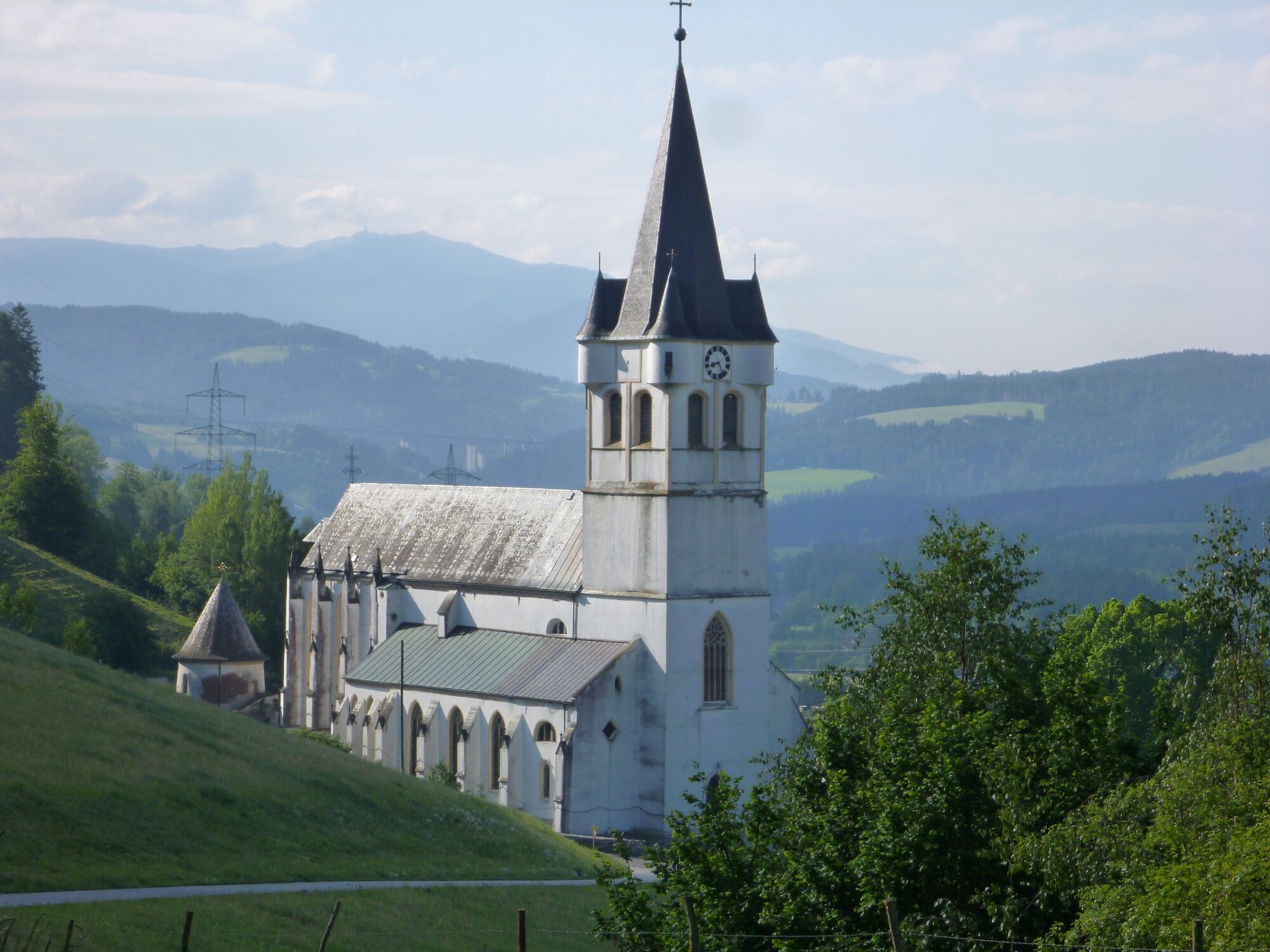
Mountainbike

© KSL Tourismus Marketing GmbH - Graßler Herbert


© KSL Tourismus Marketing GmbH - Schober Erich


© KSL Tourismus Marketing GmbH - Schober Erich

© KSL Tourismus Marketing GmbH - Schober Erich

- Descrizione rapida
-
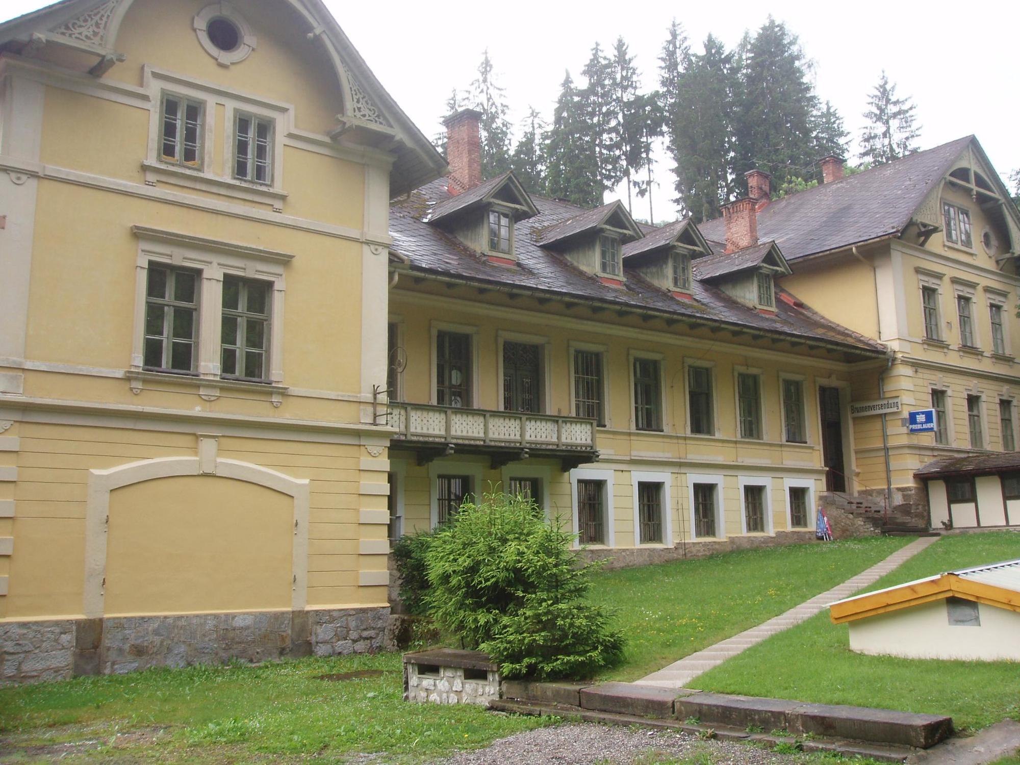
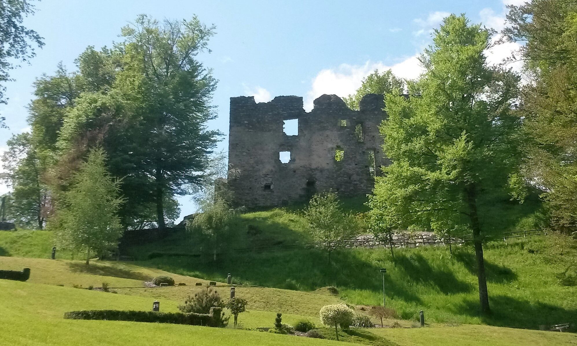
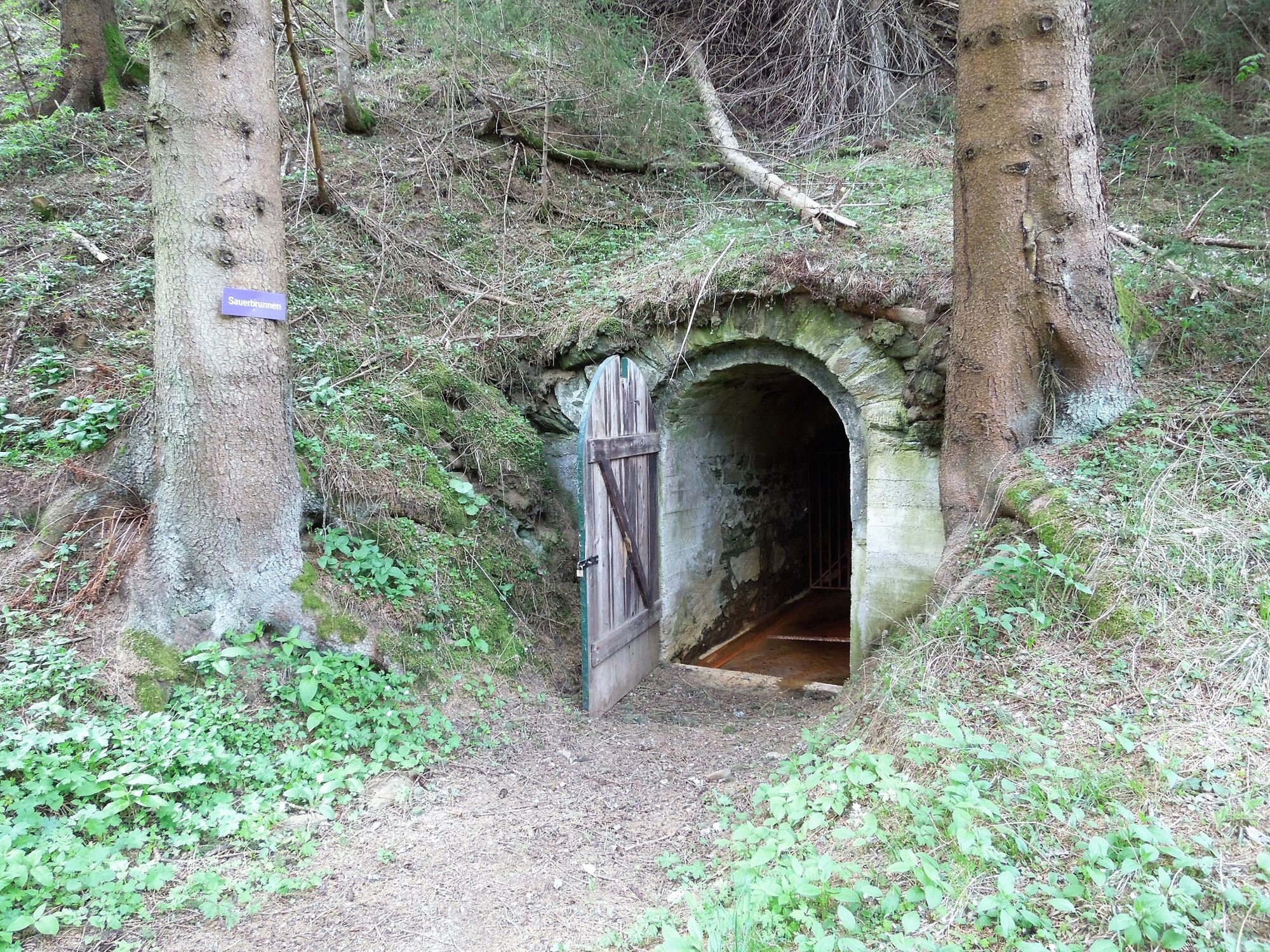
Aussichtsreiche und geschichtsträchtige Tour entlang alter und historrischer Plätze, wie zum Beispiel in St. Leonhard die Burgruine Gomarn oder die Ortschaft Preblau - Sauerbrunn.
- Difficoltà
-
intermedio
- Valutazione
-
- Percorso
-
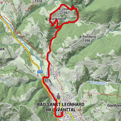
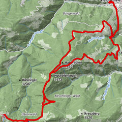
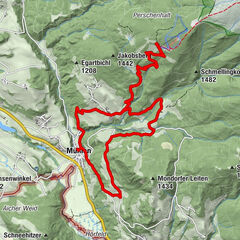
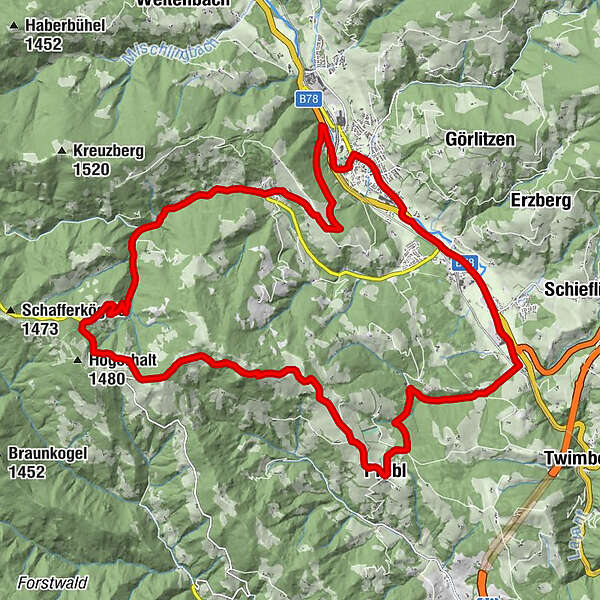
Bad Sankt Leonhard im Lavanttal (714 m)Badsiedlung1,0 kmHermannsberg4,1 kmFatimakirche4,7 kmKliening4,9 kmGasthof Buchbauer10,1 kmGaisegg10,3 kmGasthaus Schulterkogelhütte13,7 kmKleiner Schulterkogel (1.414 m)14,0 kmPfarrkirche hl. Martin17,9 kmWeberwirt18,0 kmPrebl18,0 kmPreblau20,0 kmPrebl-Brunnen20,7 kmJausenstation Waich22,4 kmGewerbepark Wiesenau-Süd23,3 kmMauterndorf23,3 kmVorderklippitz24,9 kmGasthof Karner25,0 kmKreuzwegkapelle26,9 kmCafe-Restaurant Badido26,9 kmSpitalskirche26,9 kmUnteres Stadttor27,0 kmBad Sankt Leonhard im Lavanttal (714 m)27,2 km
- La stagione migliore
-
genfebmaraprmaggiulugagosetottnovdic
- Punto più alto
- 1.389 m
- Destinazione
-
Bad St. Leonhard/Hauptplatz
- Profilo altimetrico
-


-

-
AutoreIl tour MTB 5 - Schulterkogel Tour - Bad St. Leonhard è utilizzato da outdooractive.com fornito.
GPS Downloads


Info generali
Punto di ristoro
Culturale/Storico
Promettente
Altri tour nelle regioni