© NLW Tourismus Marketing GmbH - Tourismusinfo Nassfeld-Pressegger See
© NLW Tourismus Marketing GmbH - Tourismusinfo Nassfeld-Pressegger See

© NLW Tourismus Marketing GmbH - Tourismusinfo Nassfeld-Pressegger See
© NLW Tourismus Marketing GmbH - Tourismusinfo Nassfeld-Pressegger See

© NLW Tourismus Marketing GmbH - Tourismusinfo Nassfeld-Pressegger See
© NLW Tourismus Marketing GmbH - Tourismusinfo Nassfeld-Pressegger See
- Descrizione rapida
-
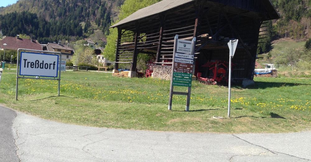
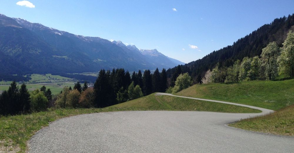
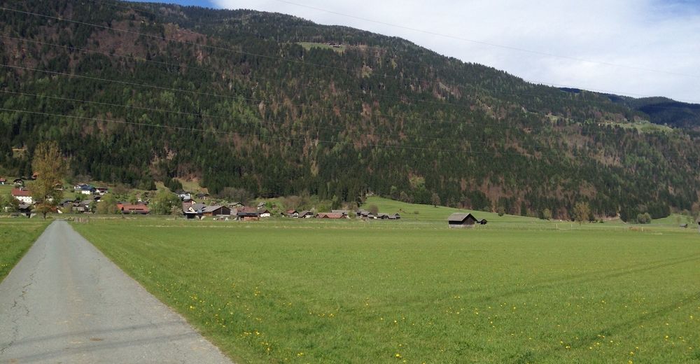
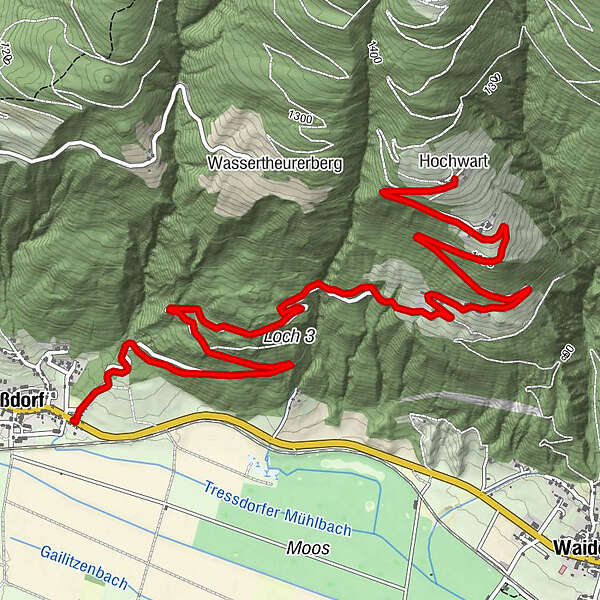
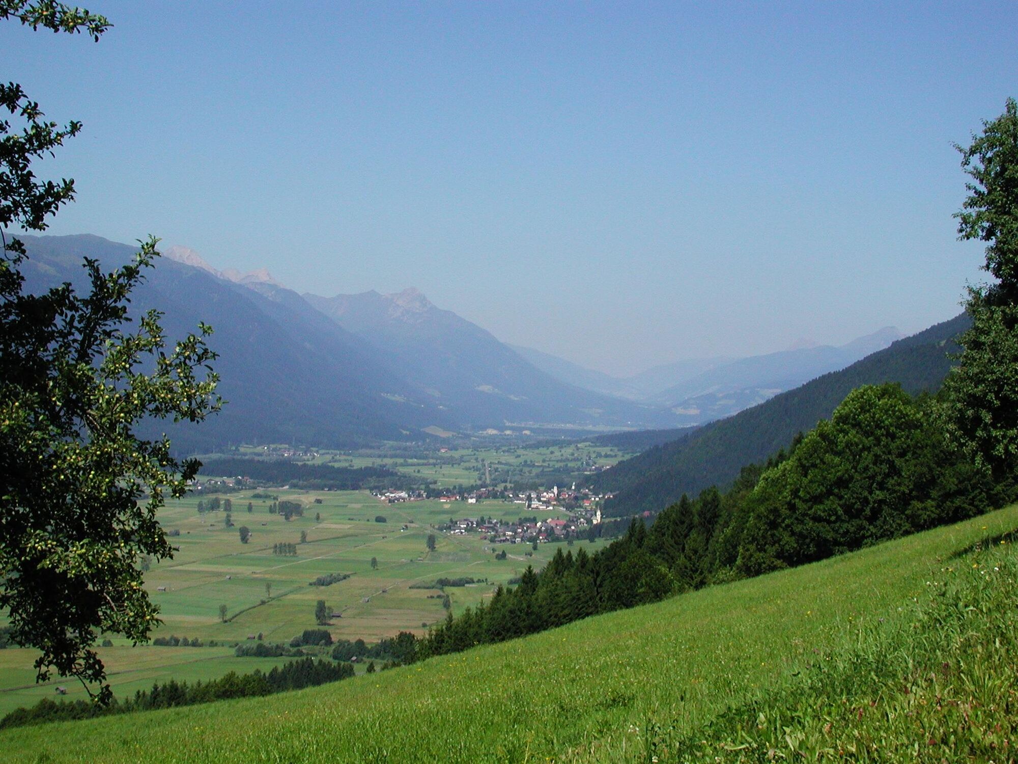
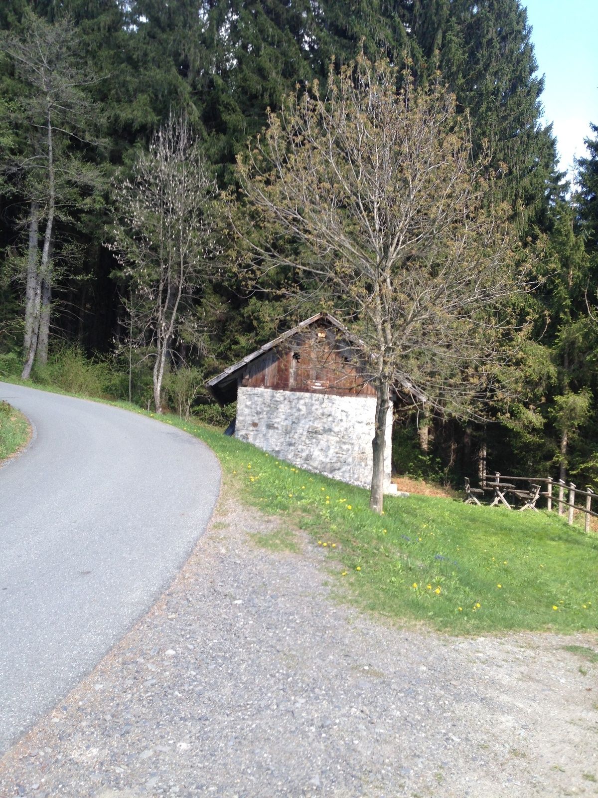
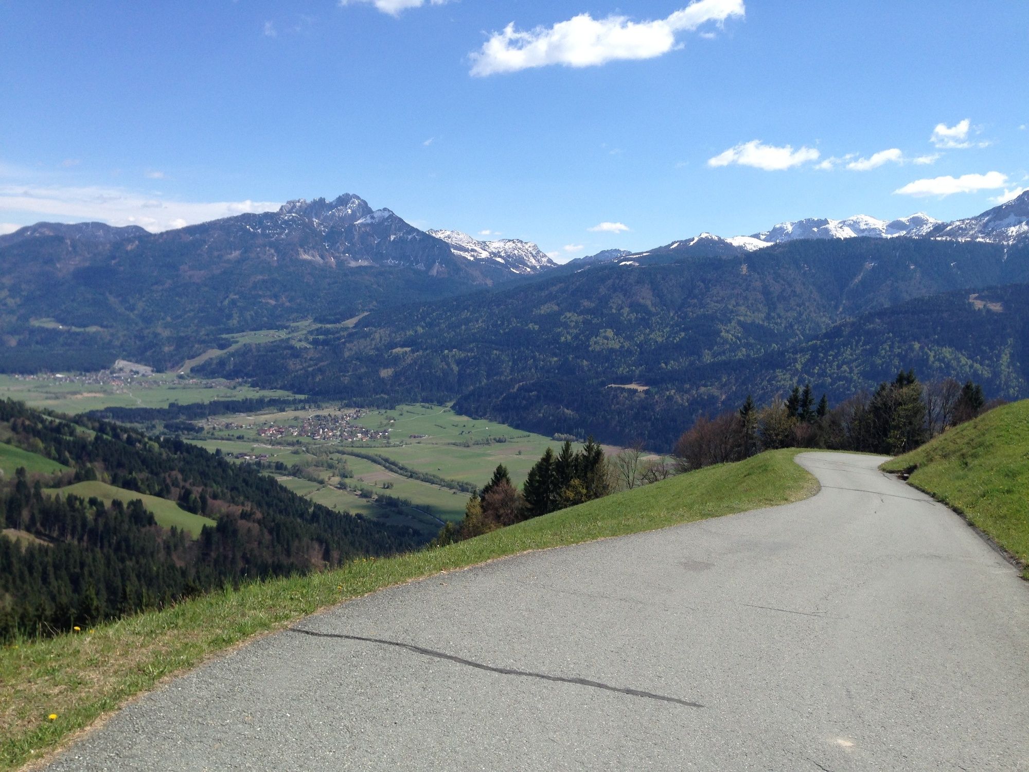
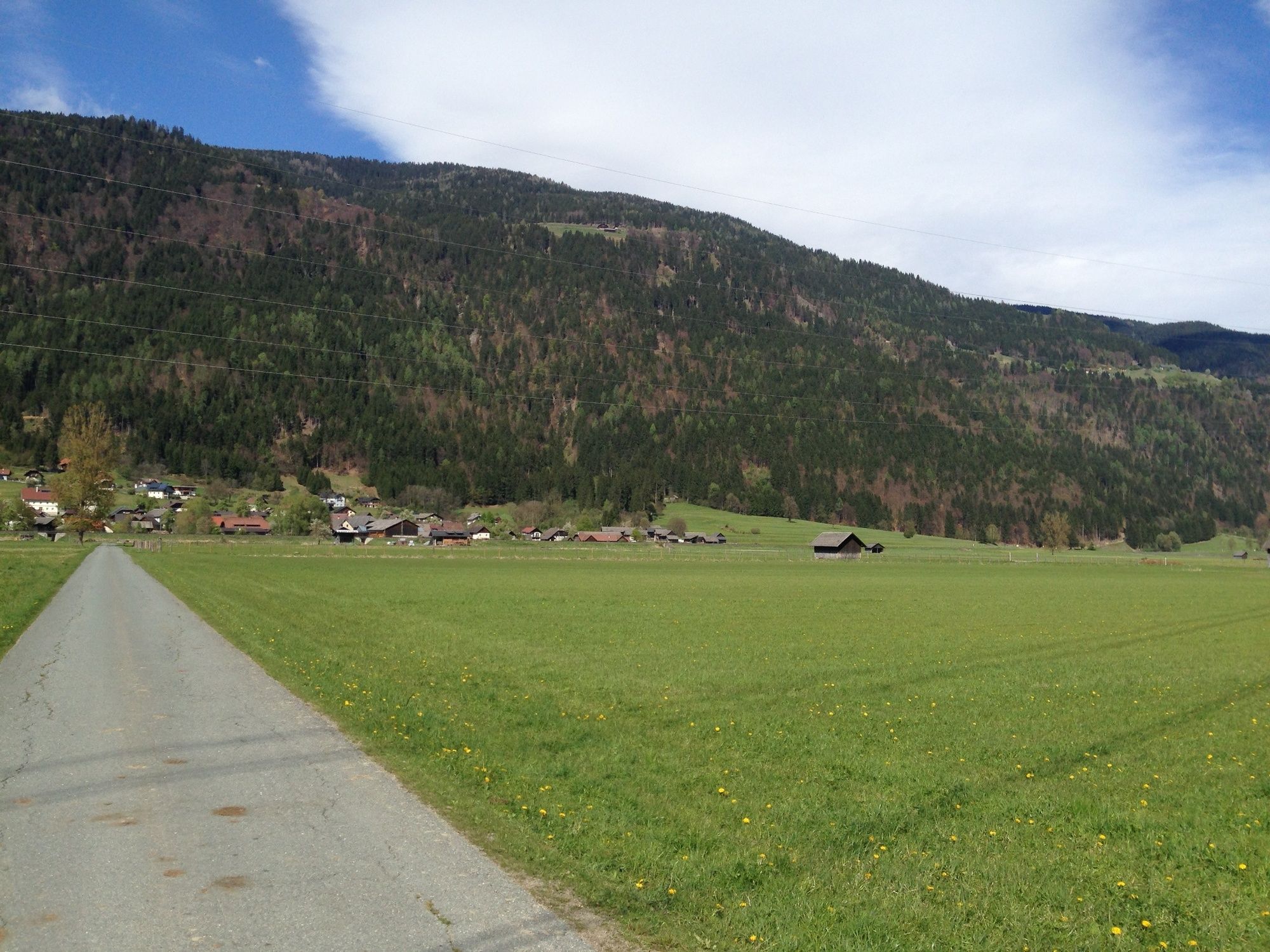
Diese knackige Tour bietet auf ca. 6 km, mit etwa 500 zu bewältigenden Höhenmetern, eine herrliche Möglichkeit die Region zu erkunden. Oben am Staudachberg und Hochwart hat man eine einmalige Aussicht auf das Tal, die zum Verweilen einlädt. Zum Größtenteil bietet die Route Asphaltweg als Untergrund.
- Difficoltà
-
intermedio
- Valutazione
-
- Percorso
-
TreßdorfKrieben1,0 kmStaudachberg3,7 kmHochwart6,2 km
- La stagione migliore
-
genfebmaraprmaggiulugagosetottnovdic
- Punto più alto
- 1.228 m
- Destinazione
-
Hochwart
- Profilo altimetrico
-


- Autore
-
Il tour Treßdorf - Staudachberg - Hochwart è utilizzato da outdooractive.com fornito.
GPS Downloads


Info generali
Promettente
Altri tour nelle regioni