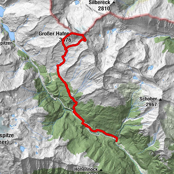
Dati percorsi
22,73km
952
- 3.020m
2.183hm
2.162hm
09:30h
- Descrizione rapida
-
2000hm Wanderung
- Valutazione
-
- Punto di partenza
-
Parkplatz Ghf. Falleralm
- Percorso
-
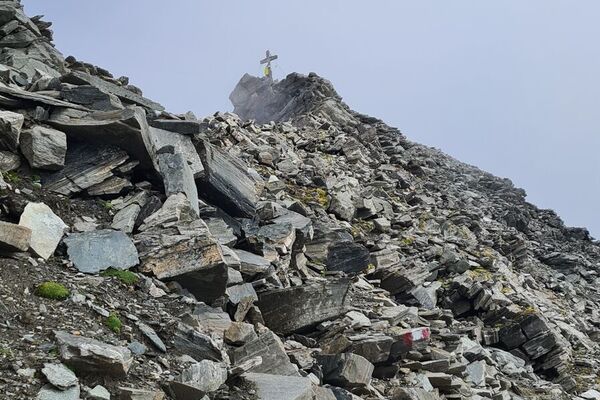
Melnikfall0,2 kmJausenstation Hohe Brücke2,2 kmHochalm waterfall3,4 kmGmünder Hütte3,5 kmKattowitzer Hütte8,3 kmGroßer Hafner (3.076 m)10,7 kmKleiner Hafner (3.018 m)11,1 kmLanischscharte (2.897 m)11,7 kmKattowitzer Hütte13,9 kmGmünder Hütte18,9 kmHochalm waterfall19,0 kmJausenstation Hohe Brücke20,5 kmMelnikfall22,3 km
- La stagione migliore
-
genfebmaraprmaggiulugagosetottnovdic
- Punto più alto
- 3.020 m
- Destinazione
-
Großer Hafner und Kleiner Hafner
- Riposo/Ritiro
-
Gmündner Htt., Kattowitzer Htt.
GPS Downloads


Altri tour nelle regioni