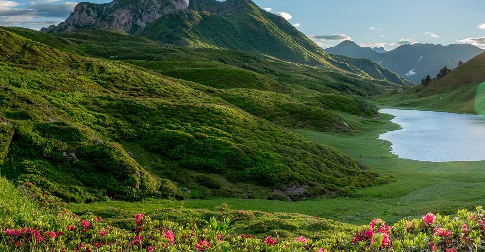
© Nassfeld - Pressegger See - Gerald Köstl
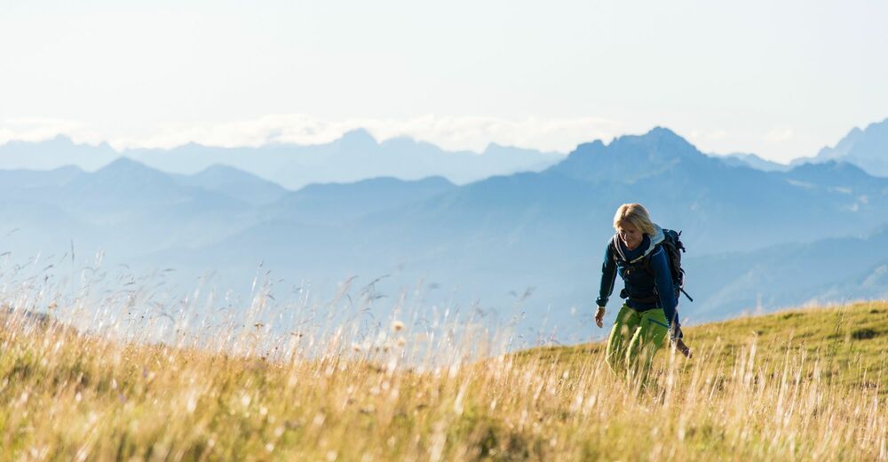
© Nassfeld - Pressegger See - Franz Gerdl
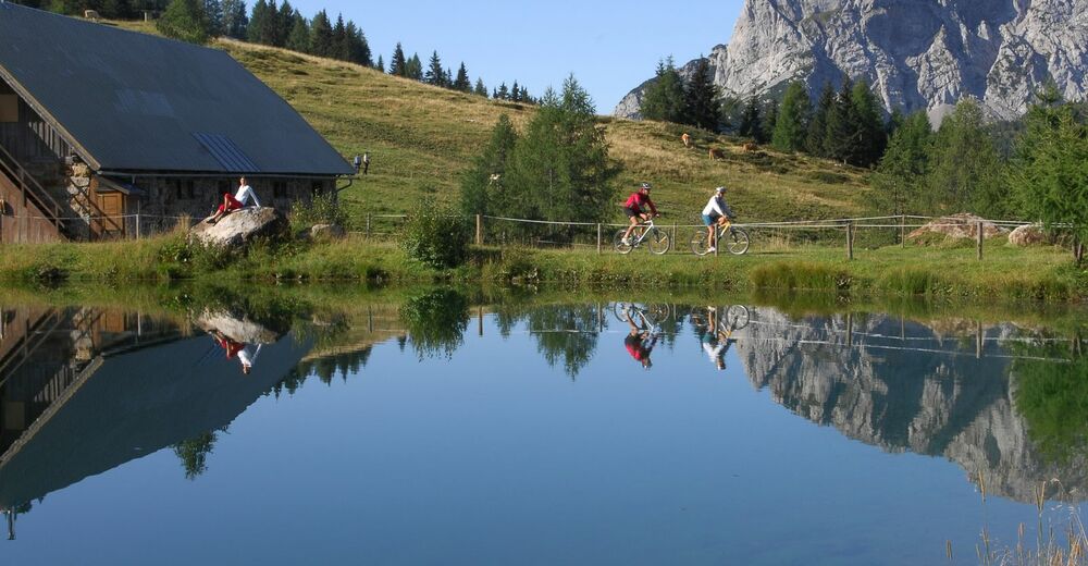
© www.nassfeld.at - Nassfeld - Pressegger See


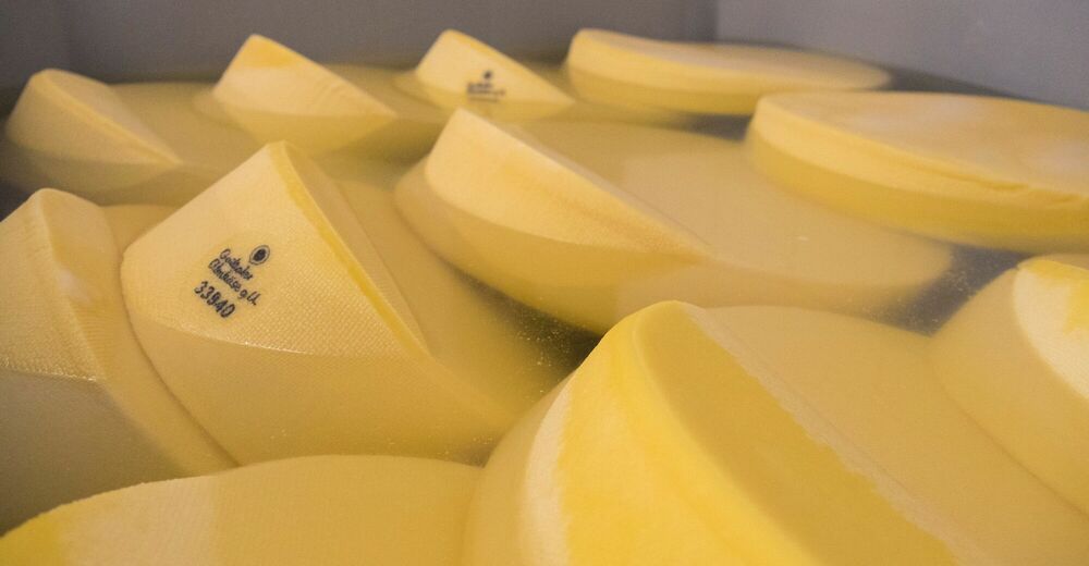
© Slow Food Travel - Nassfeld - Pressegger See
© Nassfeld - Pressegger See - Fabio Tabacchi
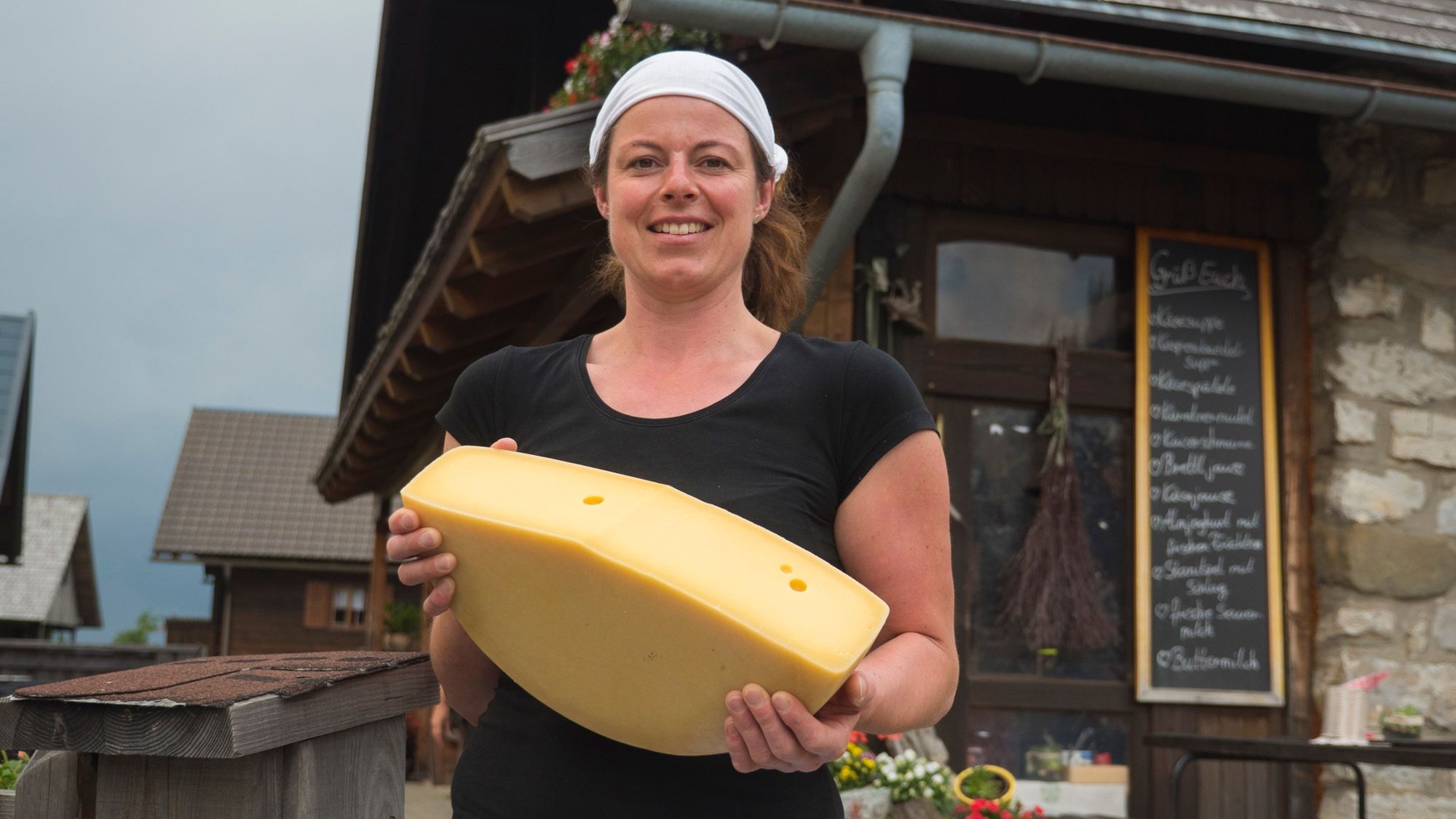
© Nassfeld - Pressegger See - Daniel Gollner

© www.nassfeld.at - Nassfeld - Pressegger See
© Nassfeld - Pressegger See - Fabio Tabacchi

- Descrizione rapida
-
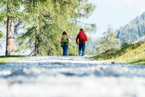
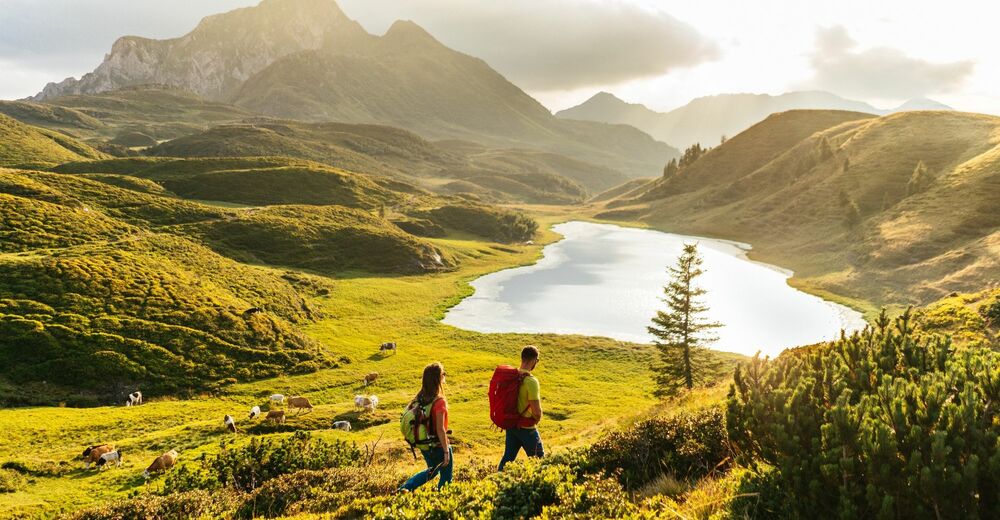
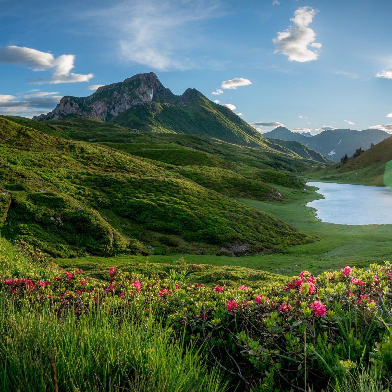
"The Carnic Milky Way" as the best of the Carnic Highway and the Constellation Hikes is "Hiking in New Dimensions".
- Difficoltà
-
intermedio
- Valutazione
-
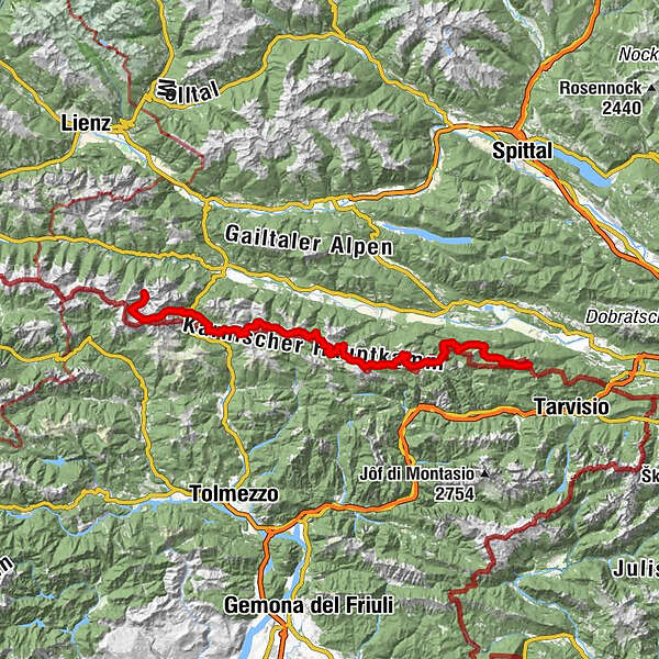
- Percorso
-
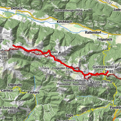
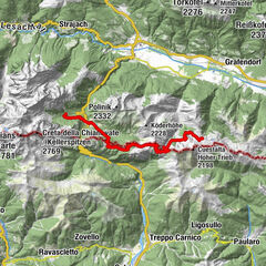
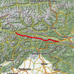
Feistritzer AlmMalga Bistrizza0,1 kmDolinza Alm (1.499 m)2,2 kmWirtshaus Starhand2,2 kmRudi`s Skihütte15,0 kmEgger Alm15,0 kmAlmgasthaus "Zur Alten Käserei"15,0 kmGarnitzenalm (1.640 m)24,0 kmGartnerkofel (2.195 m)26,9 kmWatschigerAlm29,1 kmPlattner29,5 kmSchwefelquelle30,1 kmRudnik-Sattel35,7 kmRattendorfer Alm40,6 kmGrotta di Attila43,0 kmStraniger Alm50,5 kmHöhenlager Straniger Alm (1915-1917)51,2 kmLodintörl (1.871 m)53,2 kmMonte Lodin (2.016 m)53,9 kmZollnersee Hütte57,0 kmCasera Promosio Alta64,6 kmCasera Pal Grande di Sopra67,3 kmGasthof Plöckenhaus73,1 kmTheresienhöhe74,1 kmAlmgasthof Valentinalm (1.220 m)75,7 kmWolayerseehütte81,4 kmBimbaumer Törl (2.080 m)81,6 kmHubertuskapelle88,2 km
- La stagione migliore
-
genfebmaraprmaggiulugagosetottnovdic
- Punto più alto
- 2.174 m
- Destinazione
-
Hubertuskapelle
- Profilo altimetrico
-


- Autore
-
Il tour Die Karnische Milchstraße è utilizzato da outdooractive.com fornito.
GPS Downloads


Info generali
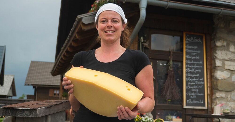
Punto di ristoro
Culturale/Storico
Flora
Fauna
Promettente
Altri tour nelle regioni