
© Hohe Tauern - die Nationalpark-Region in Kärnten Tourismus GmbH - Thomas Suntinger

© Hohe Tauern - die Nationalpark-Region in Kärnten Tourismus GmbH - Nationalpark Region Hohe Tauern Kärnten

© Hohe Tauern - die Nationalpark-Region in Kärnten Tourismus GmbH - Nationalpark Region Hohe Tauern Kärnten

© Hohe Tauern - die Nationalpark-Region in Kärnten Tourismus GmbH - Nationalpark Region Hohe Tauern Kärnten

© Hohe Tauern - die Nationalpark-Region in Kärnten Tourismus GmbH - Nationalpark Region Hohe Tauern Kärnten
Dati percorsi
40,69km
1.873
- 2.884m
2.967hm
2.725hm
23:00h

- Descrizione rapida
-
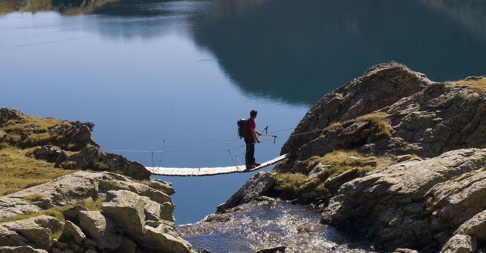
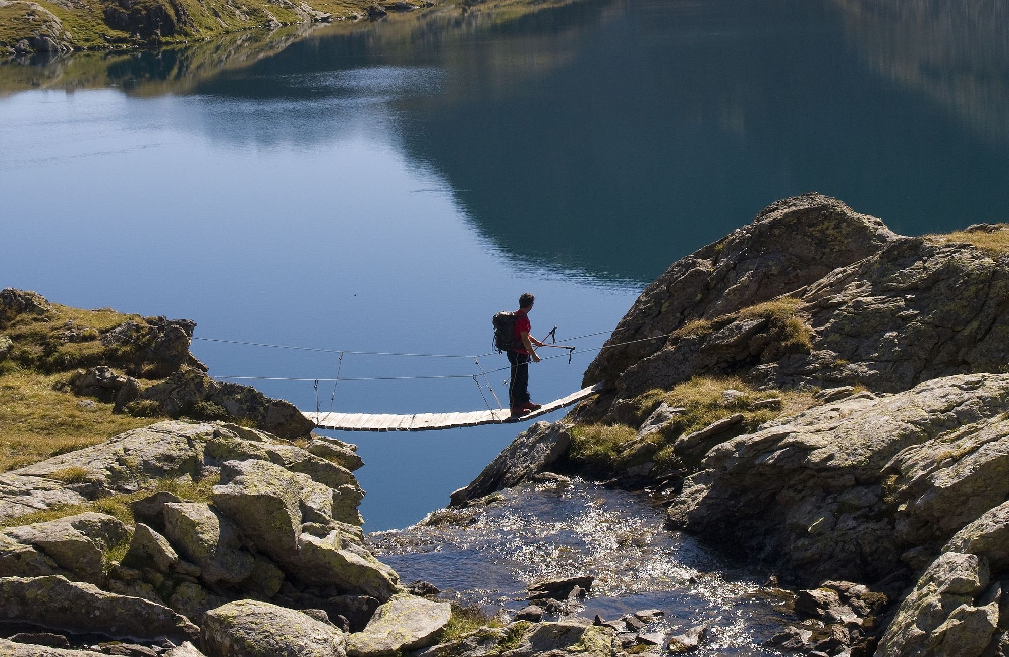
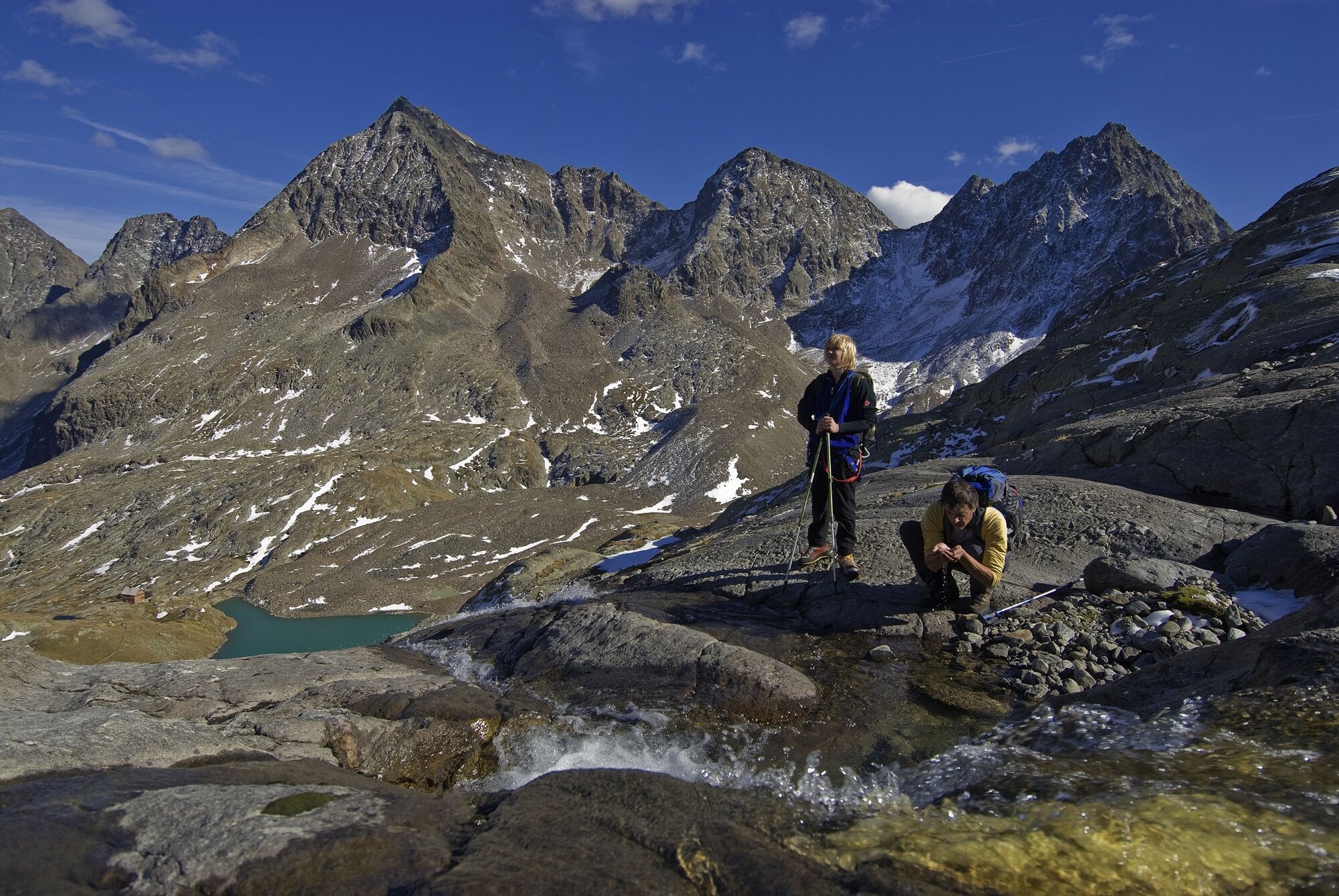
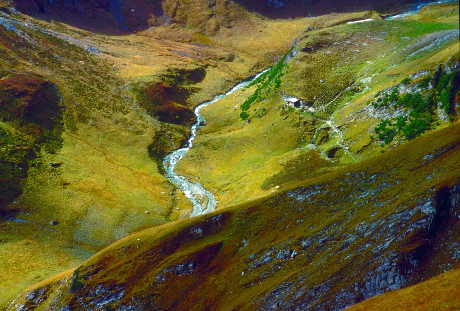
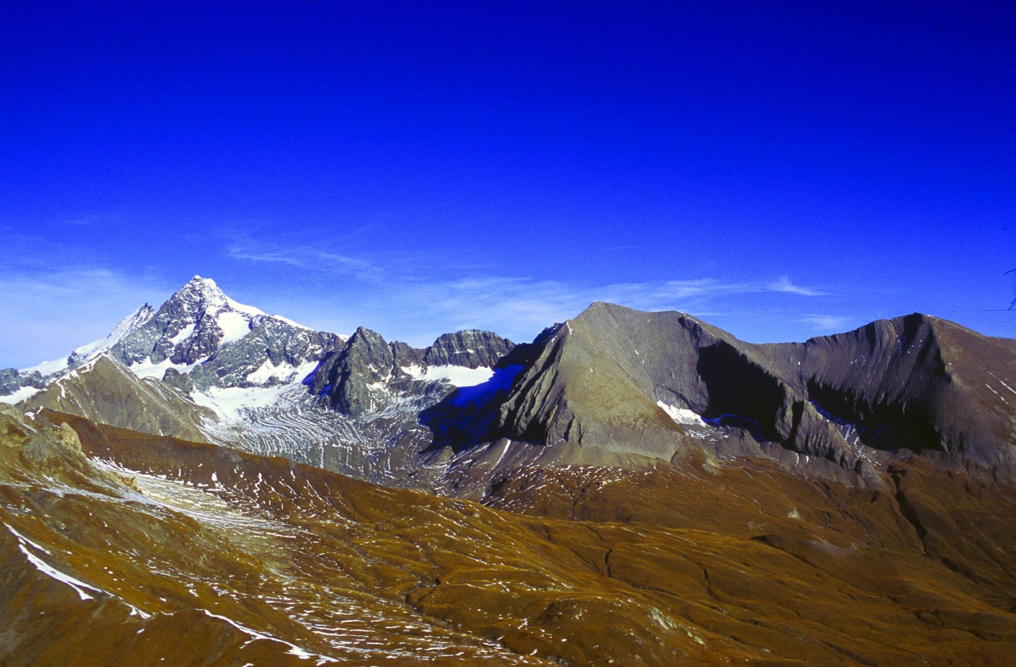
In fünf Tagen durch die Schobergruppe, das wilde Herz des Nationalparks!
Ideal für erfahrene, trittsichere Trekker, die inmitten einer grandiosen Hochgebirgswelt auf einsamer Route unterwegs sein wollen. - Difficoltà
-
difficile
- Valutazione
-
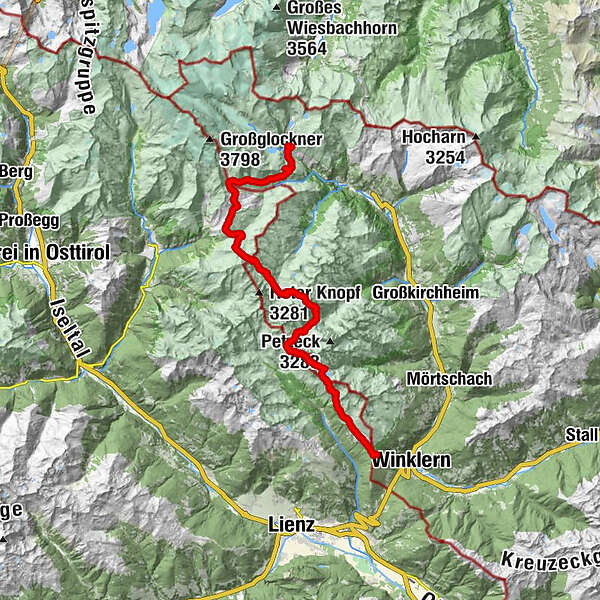
- Percorso
-
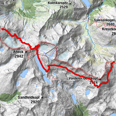
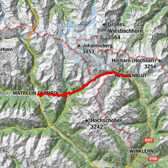
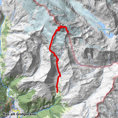
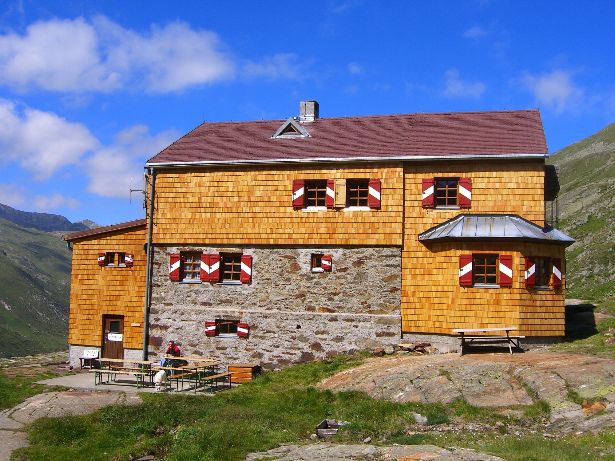
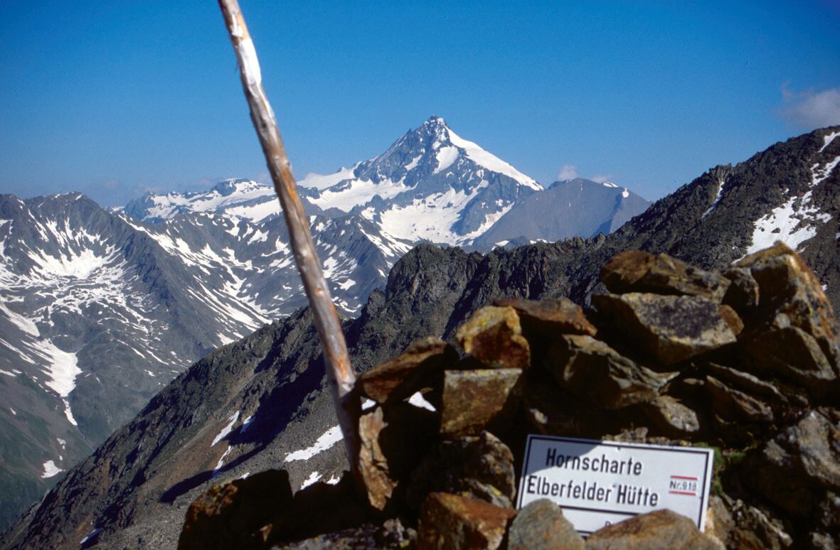
Winklerner Hütte (1.905 m)0,2 kmRoana Alm (1.900 m)1,1 kmObere Seescharte (2.603 m)7,4 kmKreuzseeschartl (2.810 m)9,8 kmNiedere Gradenscharte (2.796 m)12,8 kmAdolf-Nossberger-Hütte (2.488 m)14,5 kmElberfelder Hütte (2.346 m)20,3 kmKesselkeessattel (2.980 m)24,4 kmGlorerhütte30,3 kmSalmhütte33,5 kmStockerscharte (2.442 m)37,4 kmGlocknerhaus40,6 km
- La stagione migliore
-
genfebmaraprmaggiulugagosetottnovdic
- Punto più alto
- 2.884 m
- Destinazione
-
Alpincenter Glocknerhaus
- Profilo altimetrico
-

- Autore
-
Il tour Fernwanderweg Wiener Höhenweg è utilizzato da outdooractive.com fornito.
GPS Downloads


Info generali
Promettente
Altri tour nelle regioni