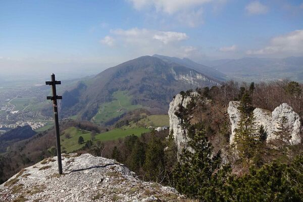
Probsteberg - einsames Grenzgebiet Bern/Solothurn

Escursionismo

© Berner Wanderwege - Berne Rando


- Descrizione rapida
-
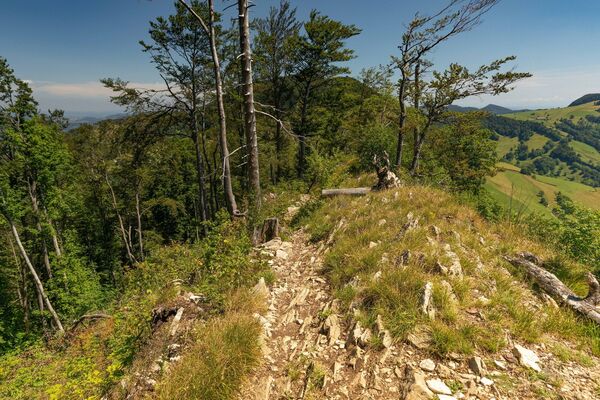
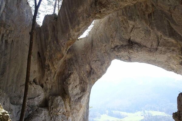
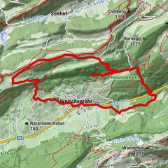
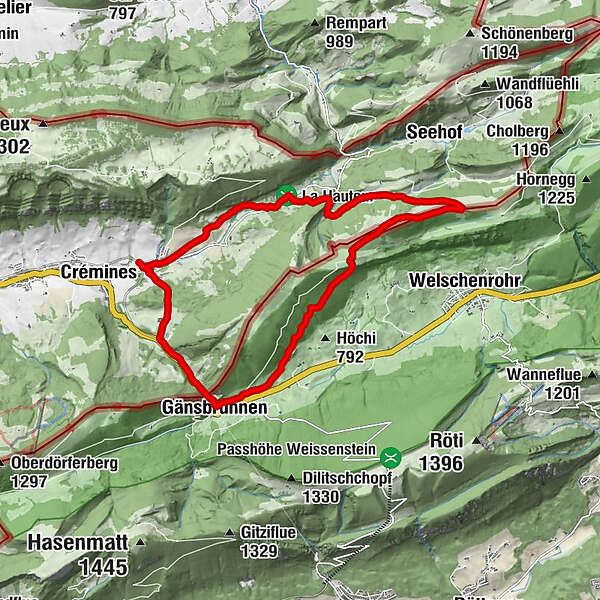
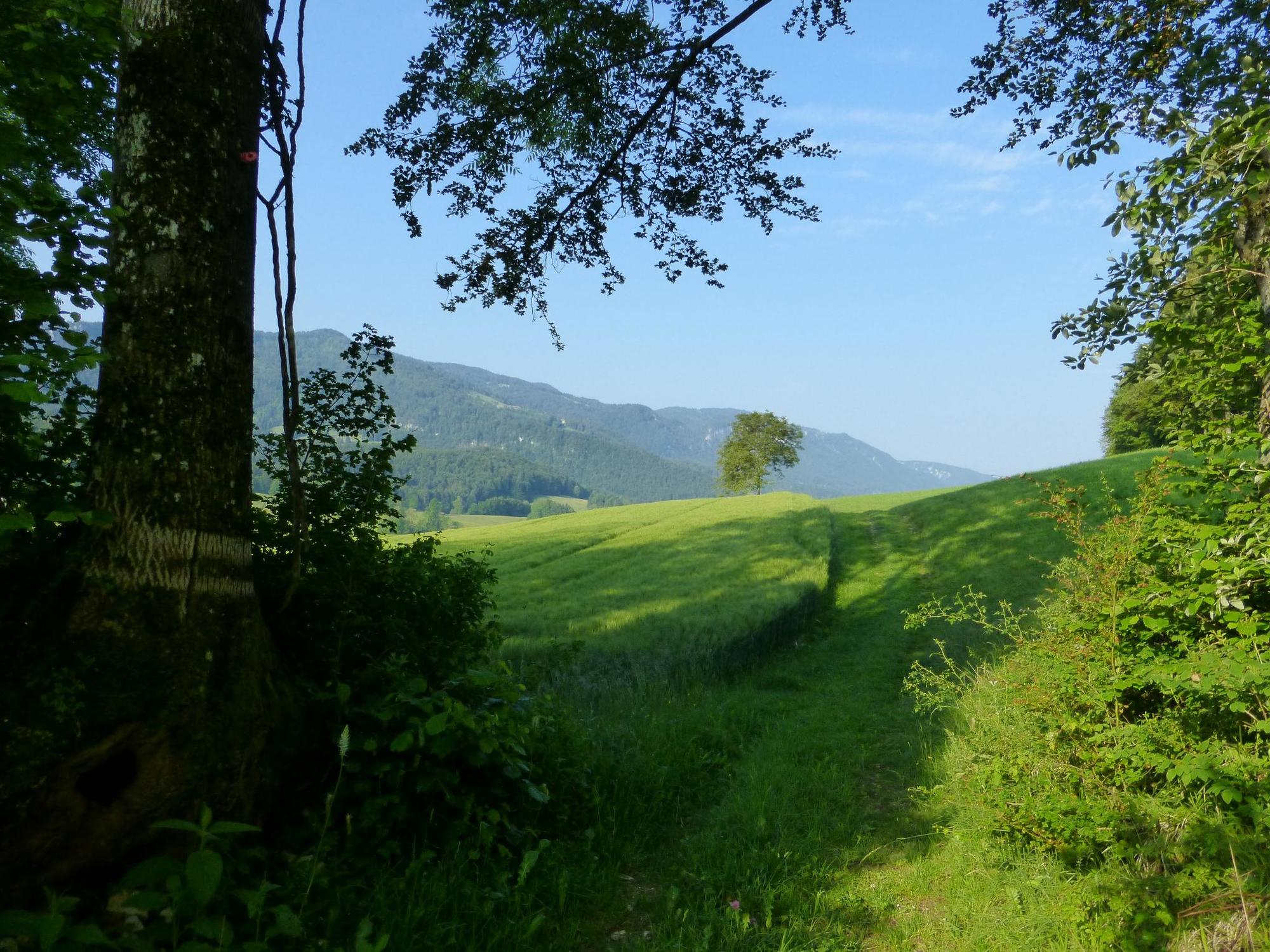
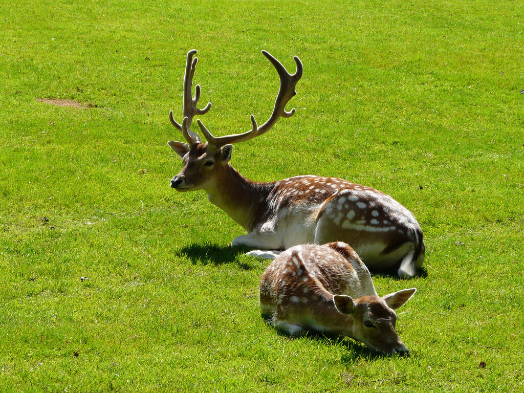
Diese längere Wanderung im Grenzgebiet der Kantone Bern und Solothurn lässt die Weite des Juras, über Weiden und durch Wälder, erleben. Für Tierliebende lockt als Ent-schädigung für die Strapazen ein Besuch im Zoo Siky Ranch. Einzelne Teilstücke auf Hartbelag.
- Percorso
-
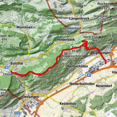
L'Etrier d'Argent0,3 kmCorcelles (655 m)0,5 kmLes Foigières1,5 kmLa Tuf1,8 kmPâturage Derrière3,3 kmMalsenberg9,3 kmPfarrkirche St. Joseph12,9 kmGänsbrunnen (732 m)13,1 kmMühlehof13,1 kmGänsbrunnen (719 m)13,4 kmAux Vaivres14,9 kmCorcelles (655 m)16,1 km
- La stagione migliore
-
genfebmaraprmaggiulugagosetottnovdic
- Punto più alto
- 1.147 m
- Destinazione
-
Corcelles
- Profilo altimetrico
-
 © outdooractive.com
-

-
AutoreIl tour Probsteberg - einsames Grenzgebiet Bern/Solothurn è utilizzato da outdooractive.com fornito.
GPS Downloads


Info generali
Punto di ristoro
Altri tour nelle regioni
-
Solothurn und Region
1456
-
Naturpark Thal
857
-
Welschenrohr-Gänsbrunnen
202