© Tourenplaner SCHWEIZ - Jochen Ihle

© Tourenplaner SCHWEIZ - Jochen Ihle

© Tourenplaner SCHWEIZ - Jochen Ihle

© Tourenplaner SCHWEIZ - Jochen Ihle

© Tourenplaner SCHWEIZ - Jochen Ihle

© Tourenplaner SCHWEIZ - Jochen Ihle

© Tourenplaner SCHWEIZ - Jochen Ihle

© Tourenplaner SCHWEIZ - Jochen Ihle

© Tourenplaner SCHWEIZ - Jochen Ihle

© Tourenplaner SCHWEIZ - Jochen Ihle

- Descrizione rapida
-
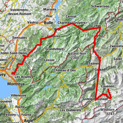
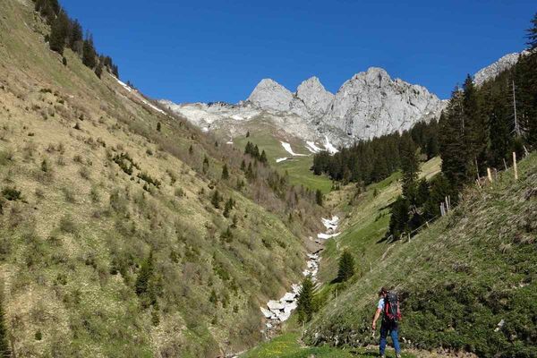
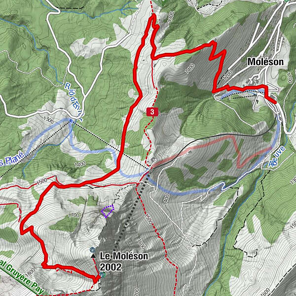
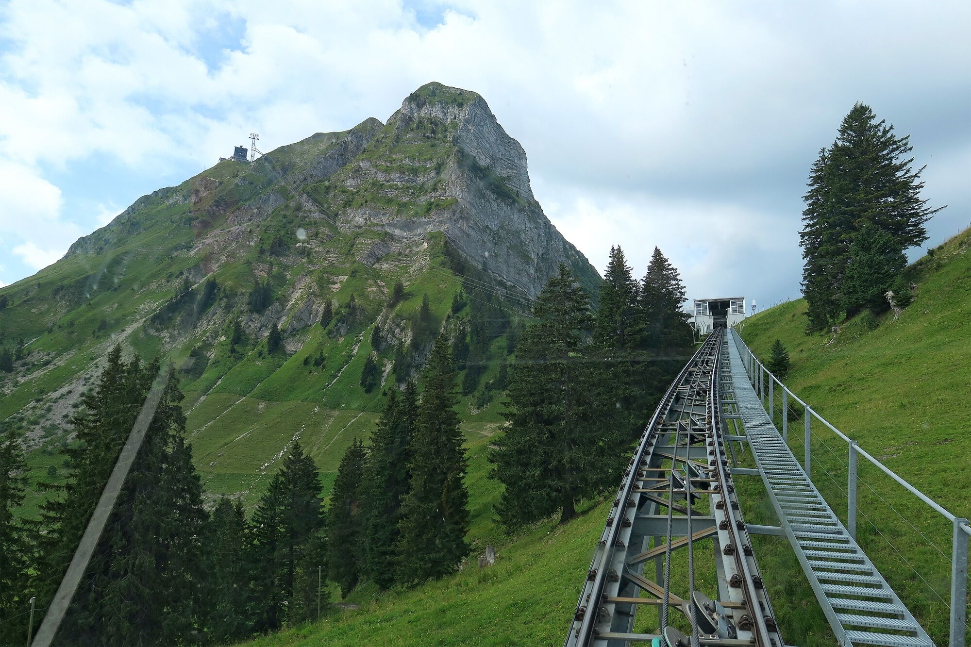
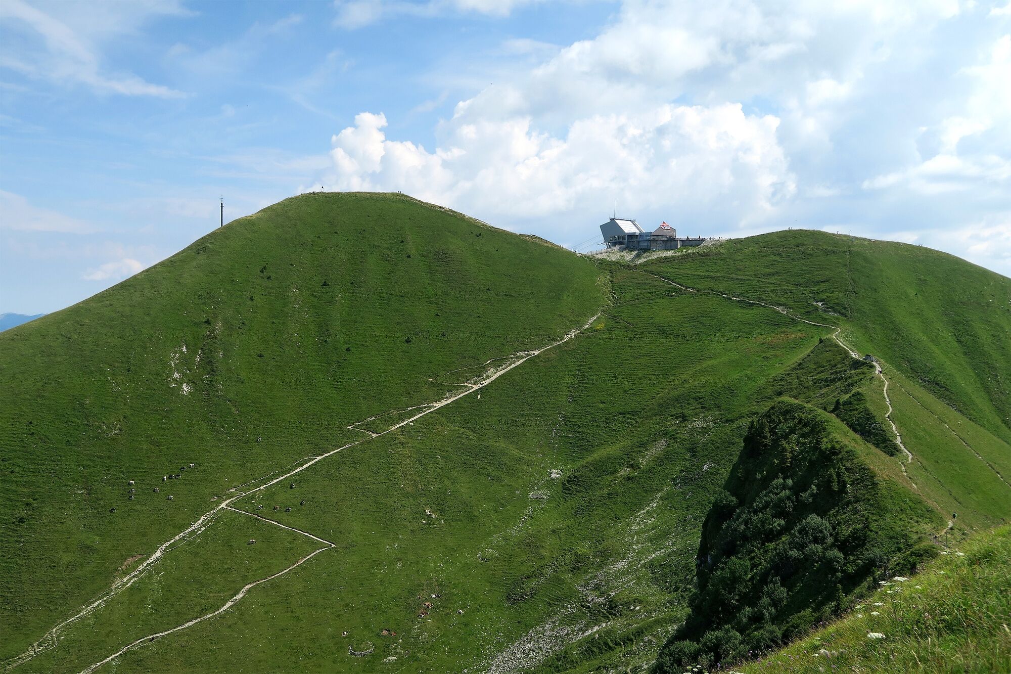
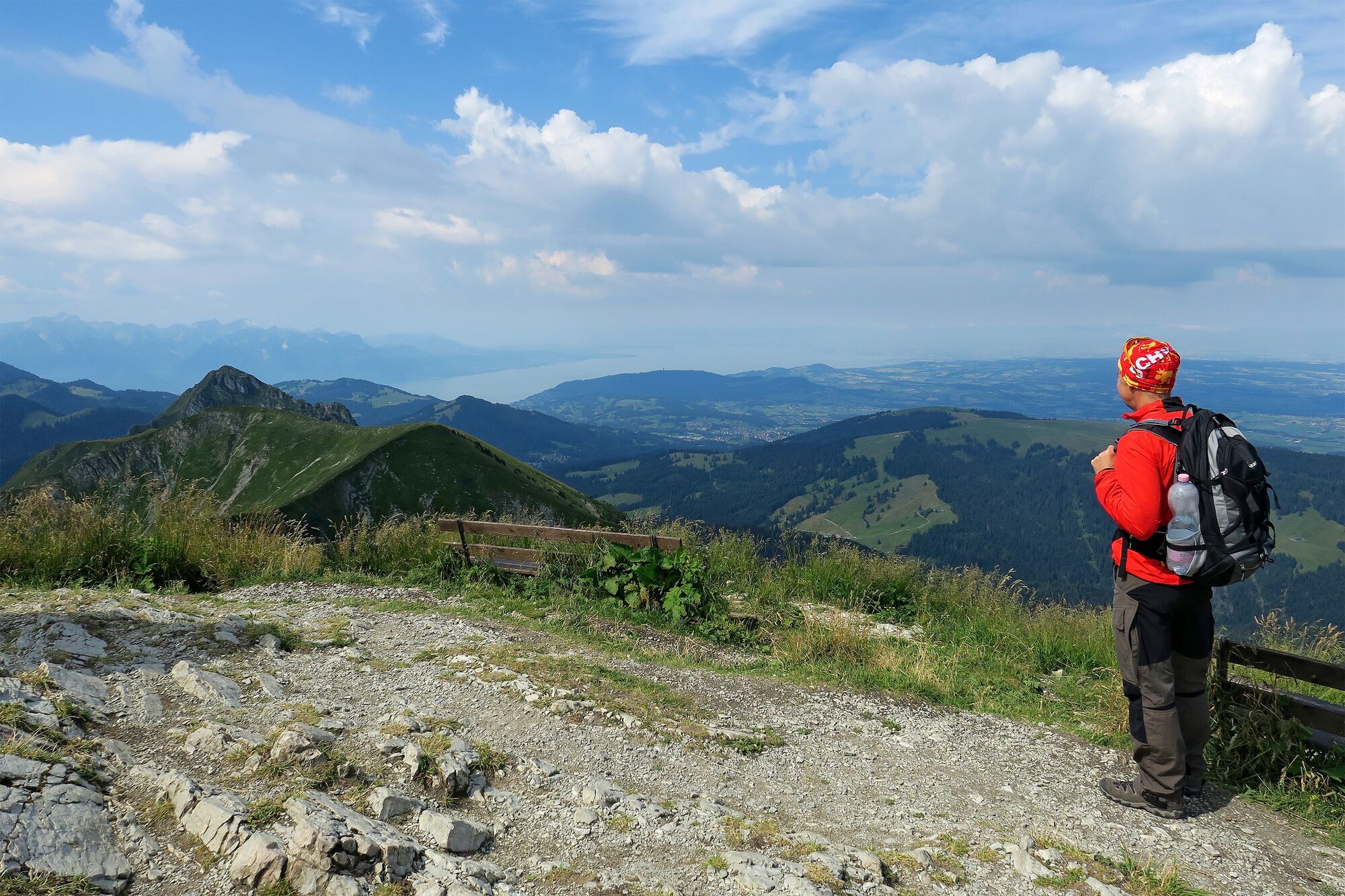
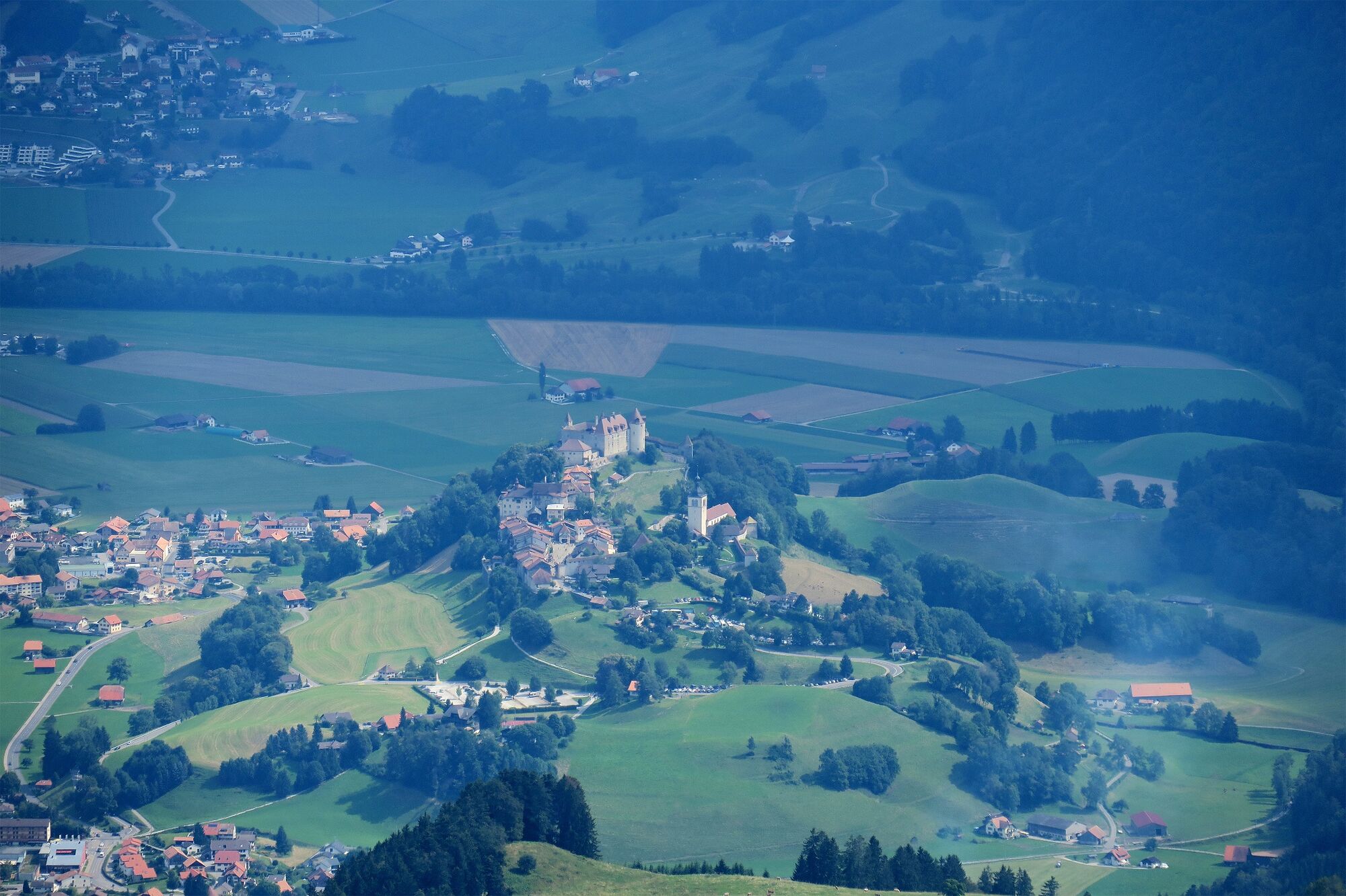
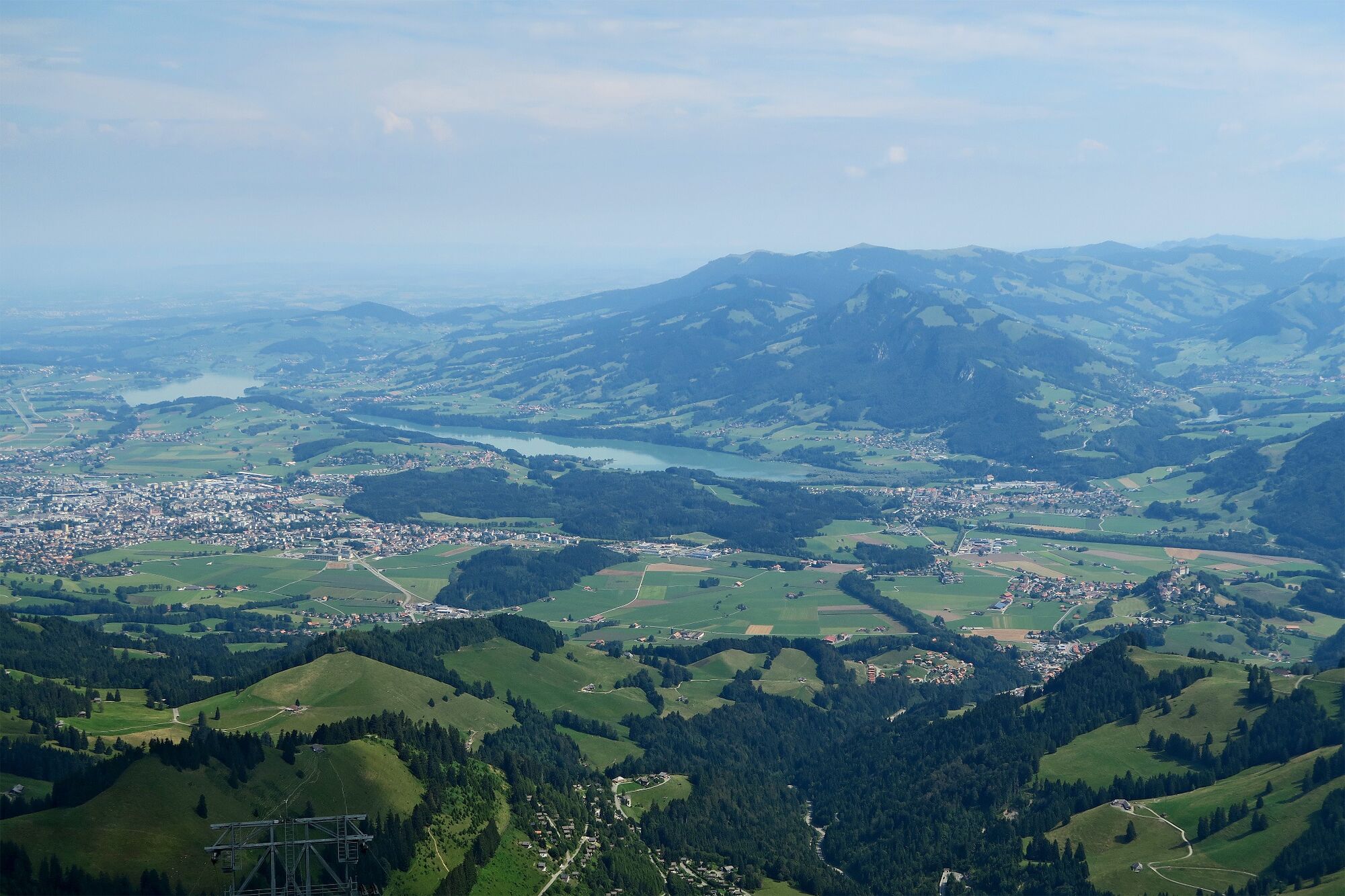
Diese Bergauf-Wanderung führt von Moléson-sur-Gruyères über die Mittelstation Plan Francey auf den Gipefel des Moléson, der eine fantastische Rundumsicht verspricht.
- Difficoltà
-
intermedio
- Valutazione
-
- Percorso
-
La Pierre à Catillion0,0 kmChapelle Moléson-sur-Gruyères0,1 kmMoléson0,2 kmFromagerie d'Alpage0,3 kmBar à Toutou0,3 kmLe Sommet6,3 km
- La stagione migliore
-
genfebmaraprmaggiulugagosetottnovdic
- Punto più alto
- 1.955 m
- Destinazione
-
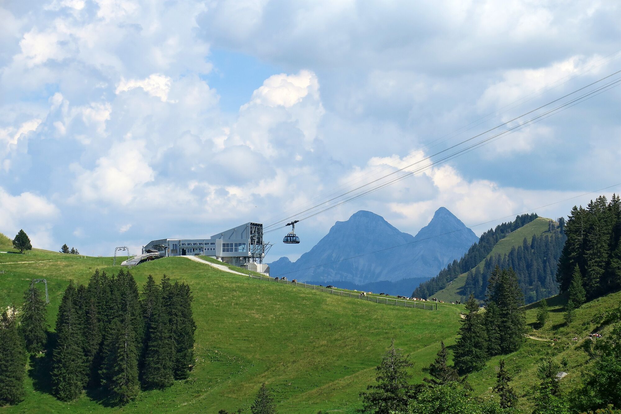
Moléson, Bergstation
- Profilo altimetrico
-
 © outdooractive.com


-

-
AutoreIl tour Von Moléson-sur-Gruyères auf den Moléson è utilizzato da outdooractive.com fornito.
GPS Downloads


Info generali
Punto di ristoro
Culturale/Storico
Flora
Fauna
Promettente
Altri tour nelle regioni
-
Alpes Vaudoises
993
-
Intyamon-Tal
411
-
Moléson-sur-Gruyères
42