© Solothurn Tourismus - Solothurn Tourismus, Urs Amiet

© Tourenplaner SCHWEIZ - Jochen Ihle

© Tourenplaner SCHWEIZ - Jochen Ihle

© Tourenplaner SCHWEIZ - Jochen Ihle

© Tourenplaner SCHWEIZ - Jochen Ihle

© Tourenplaner SCHWEIZ - Jochen Ihle

© Tourenplaner SCHWEIZ - Jochen Ihle

© Tourenplaner SCHWEIZ - Jochen Ihle

© Tourenplaner SCHWEIZ - Jochen Ihle

© Tourenplaner SCHWEIZ - Jochen Ihle
- Descrizione rapida
-
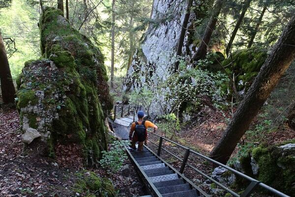
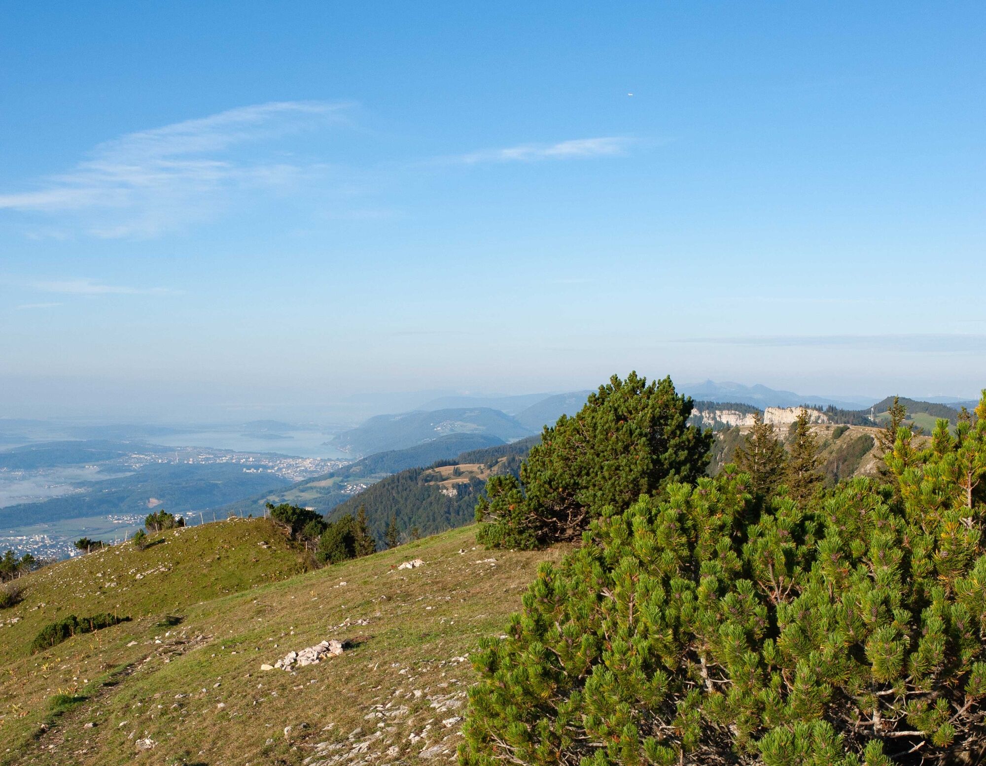
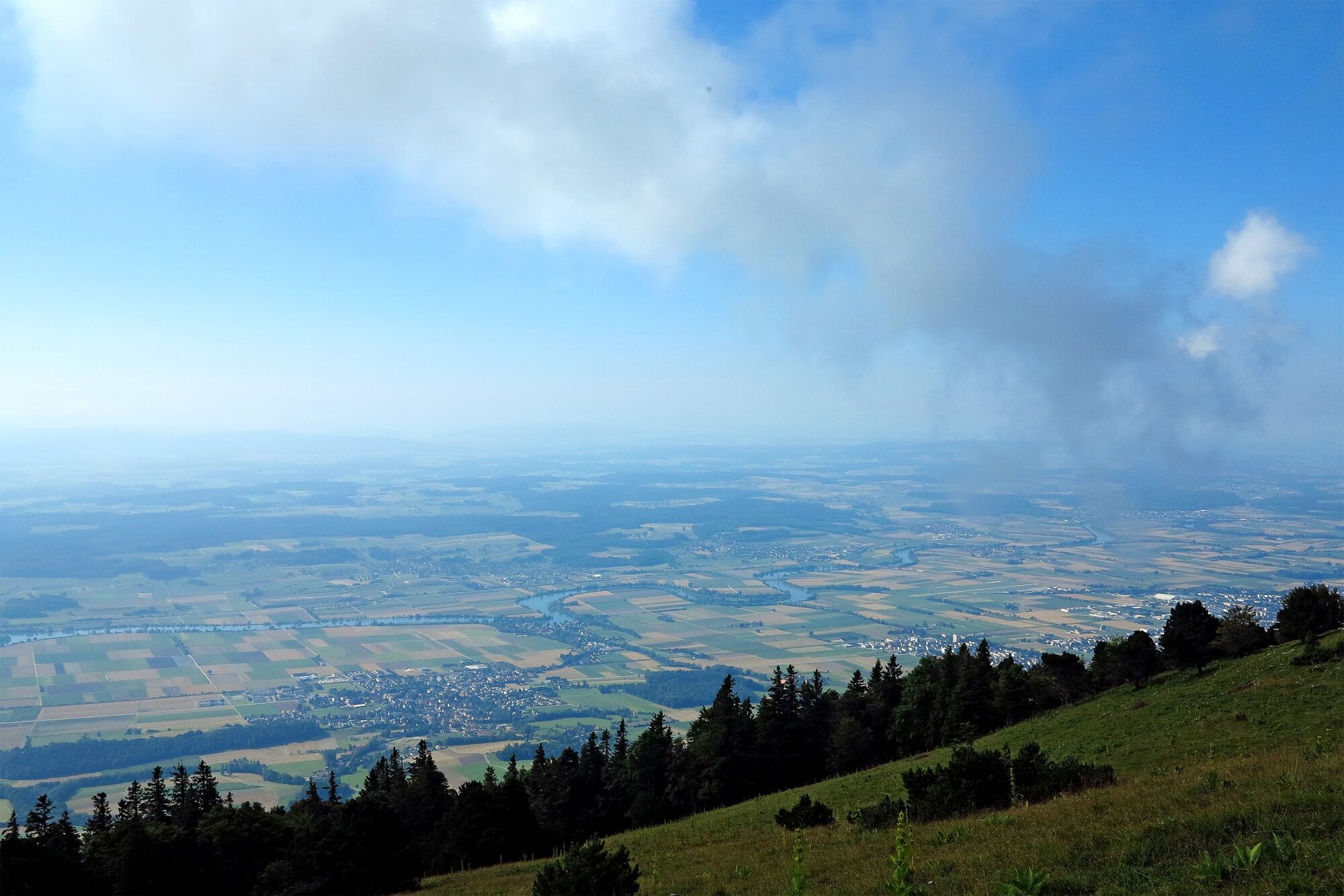
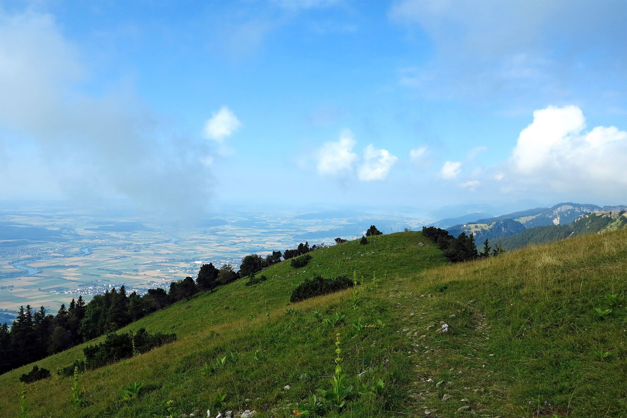
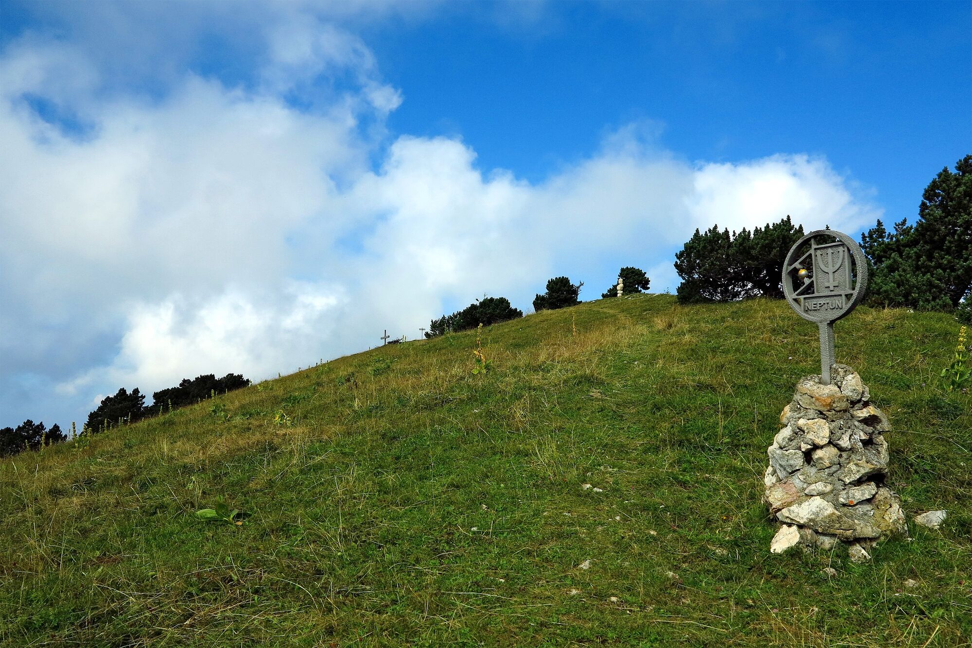
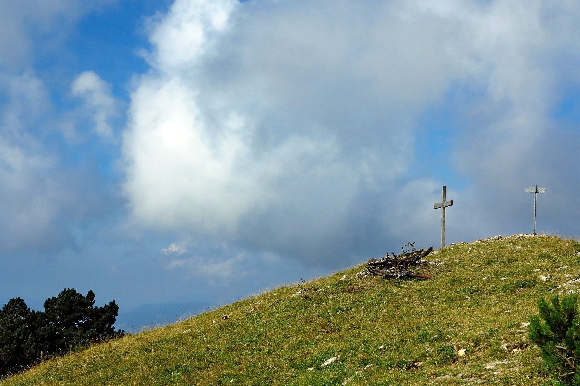
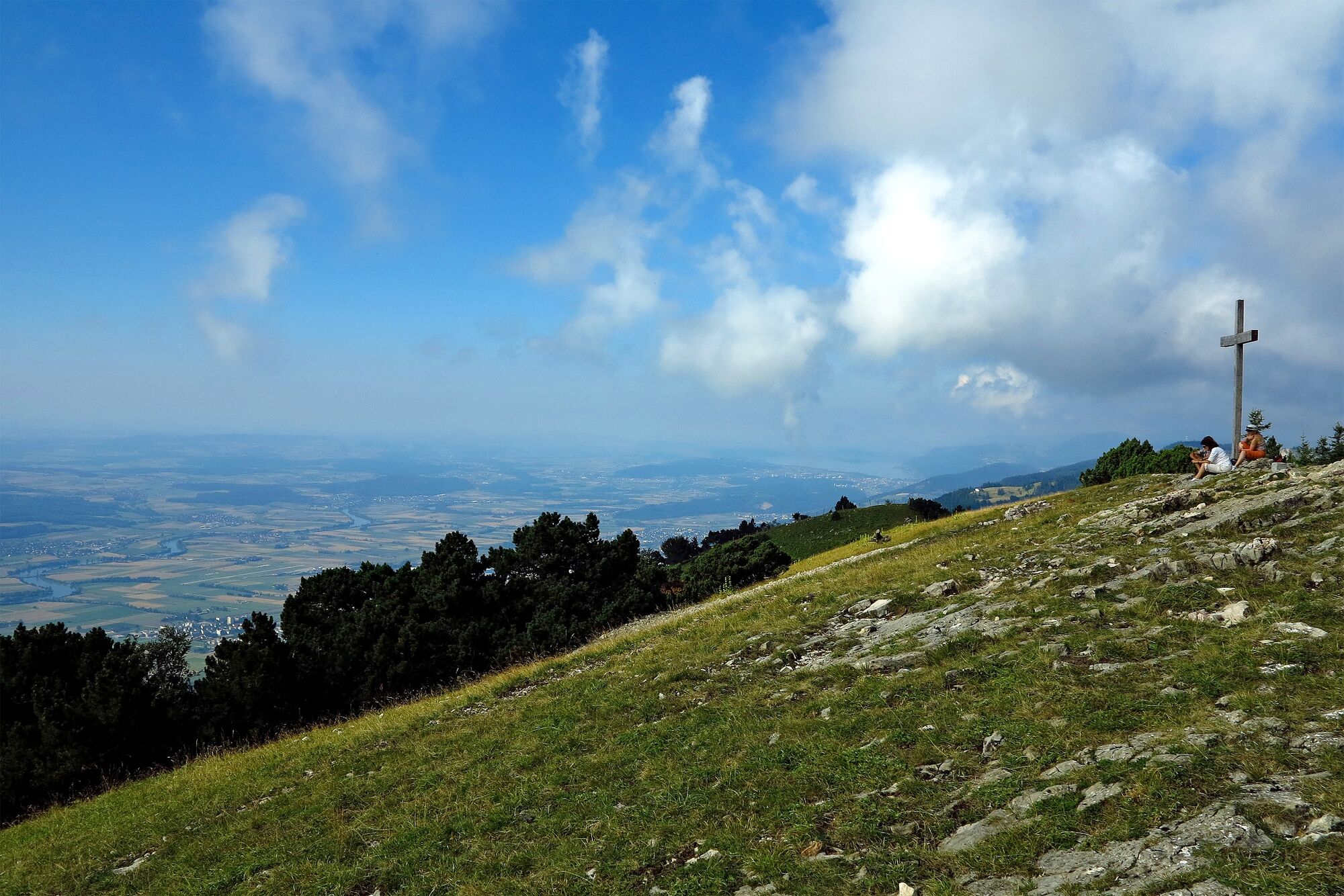
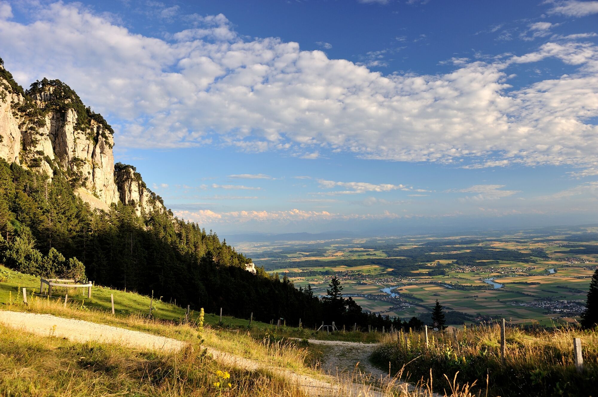
This hike leads to the highest peak in the canton of Solothurn – the Hasenmatt. The magnificent alpine panorama, dinosaur tracks and wonderful forests make this tour unbeatable.
- Difficoltà
-
intermedio
- Valutazione
-
- Percorso
-
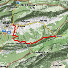
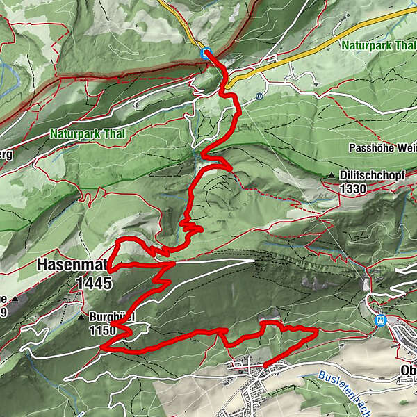
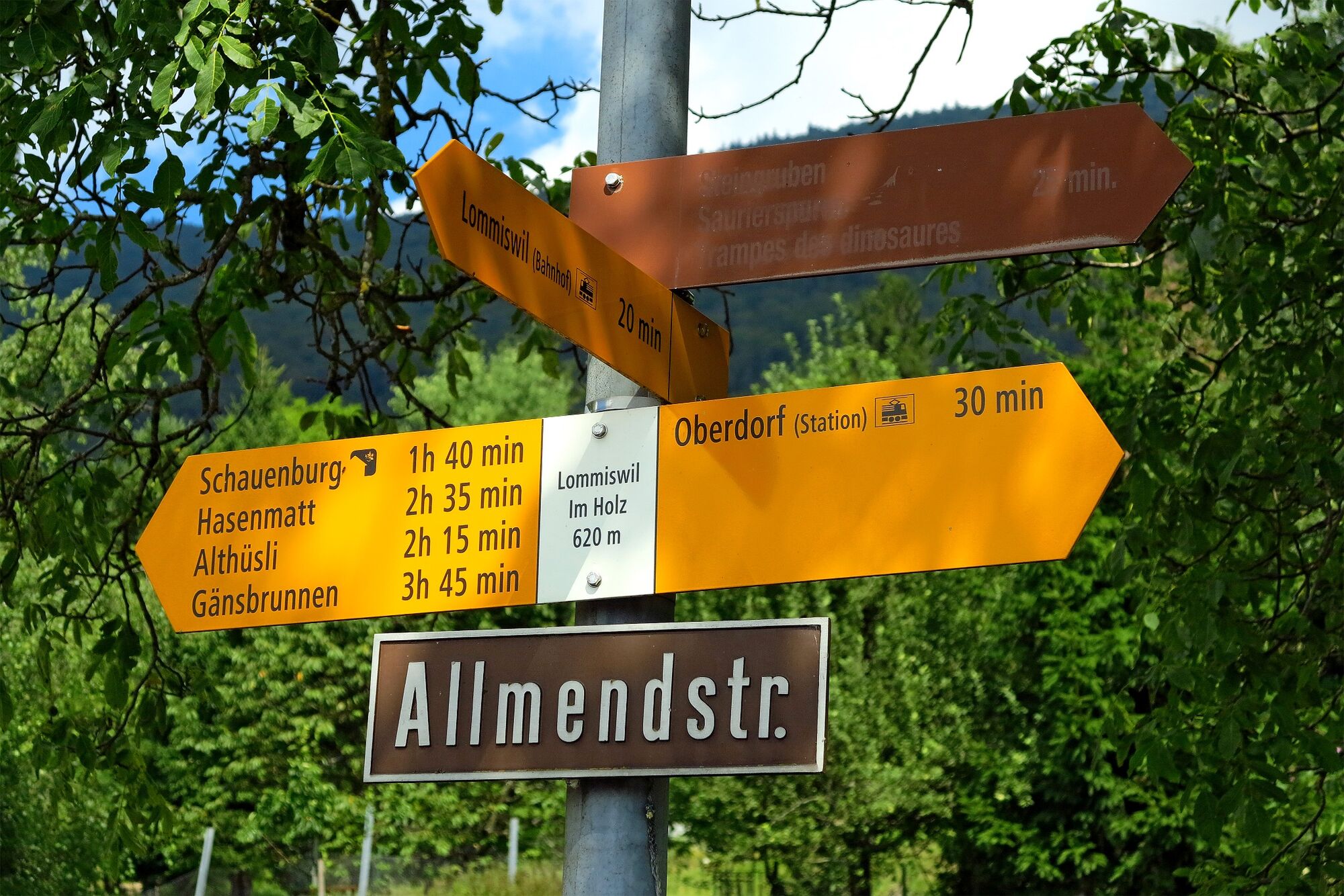
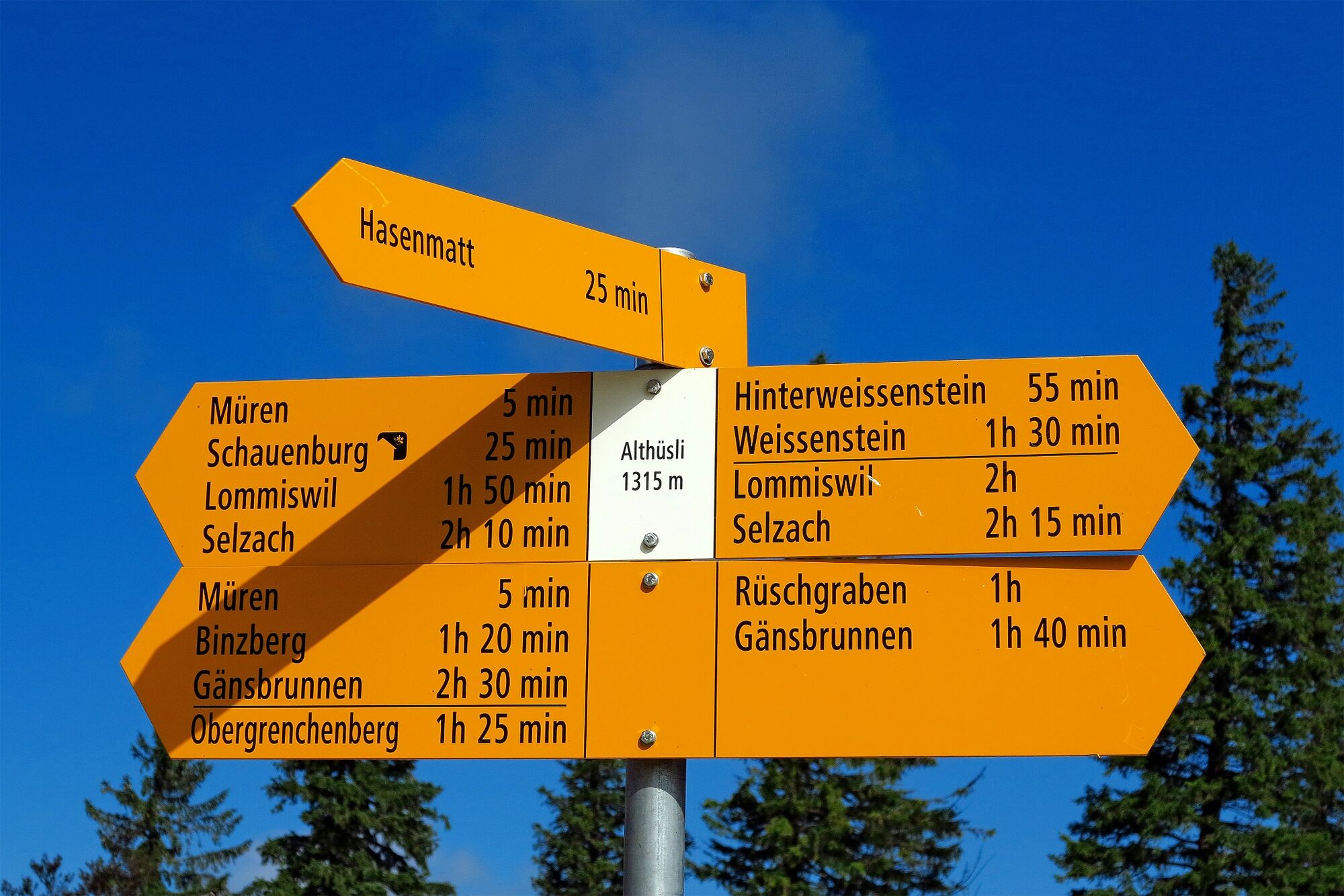
Gsäss4,7 kmHasenmatt (1.445 m)6,9 kmBergrestaurant Althüsli7,6 kmGänsbrunnen (732 m)12,6 kmMühlehof12,6 kmGänsbrunnen (719 m)13,0 km
- La stagione migliore
-
genfebmaraprmaggiulugagosetottnovdic
- Punto più alto
- 1.435 m
- Destinazione
-
Gänsbrunnen (Bahnhof)
- Profilo altimetrico
-
 © outdooractive.com


-

-
AutoreIl tour Solothurn’s tallest peak è utilizzato da outdooractive.com fornito.
GPS Downloads


Info generali
Punto di ristoro
Culturale/Storico
Flora
Fauna
Promettente
Altri tour nelle regioni
-
Solothurn und Region
1456
-
Bucheggberg
525
-
Lommiswil
189