© Terra Dinarica - Alan Čaplar
© Terra Dinarica - Alan Čaplar
© Terra Dinarica - Alan Čaplar
© Terra Dinarica - Alan Čaplar
© Terra Dinarica - Alan Čaplar
© Terra Dinarica - Alan Čaplar
© Terra Dinarica - Damir Bajs
© Terra Dinarica - Vesna Holjevac
© Terra Dinarica - Alan Čaplar
© Terra Dinarica - Igor Popović


- Descrizione rapida
-
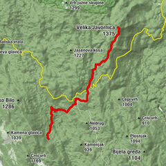
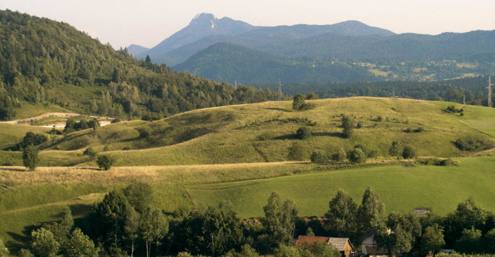
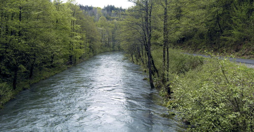
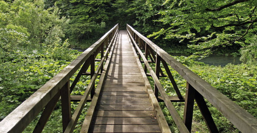
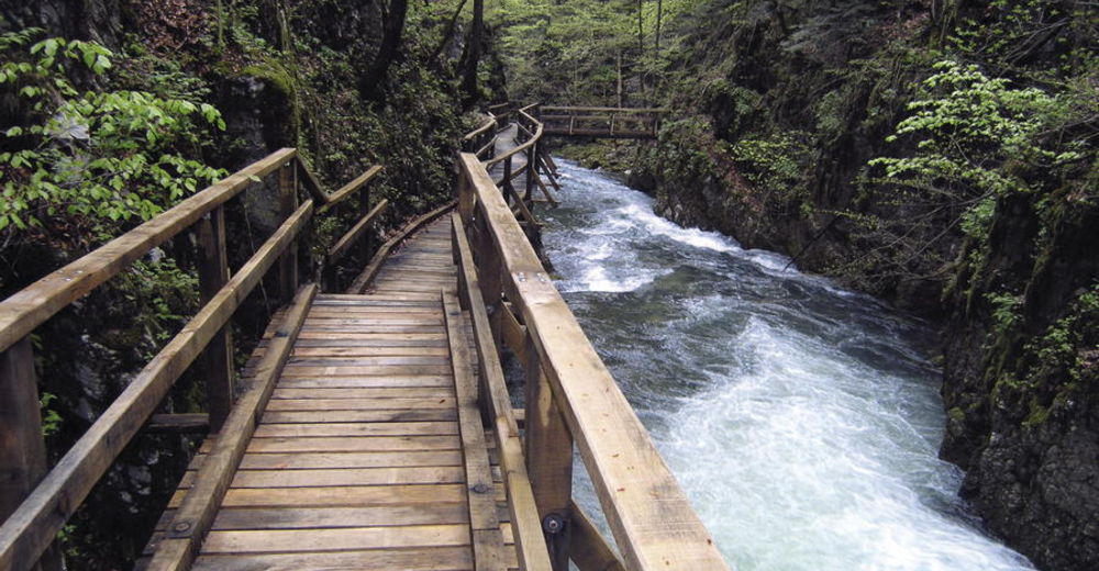
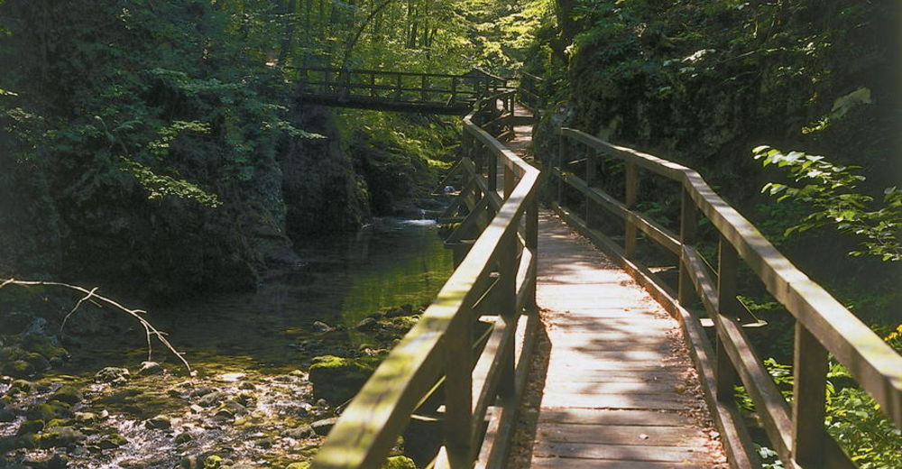
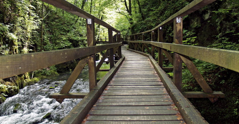
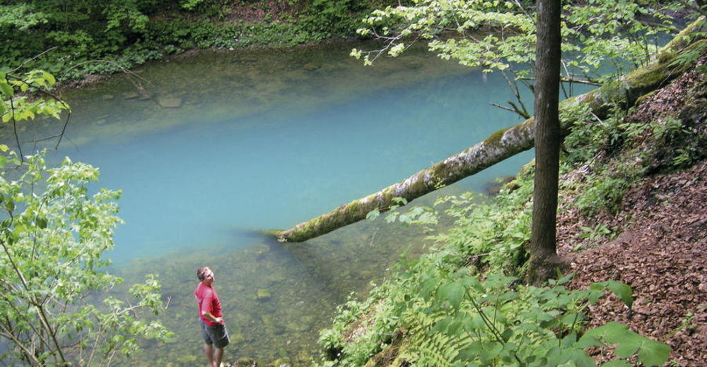
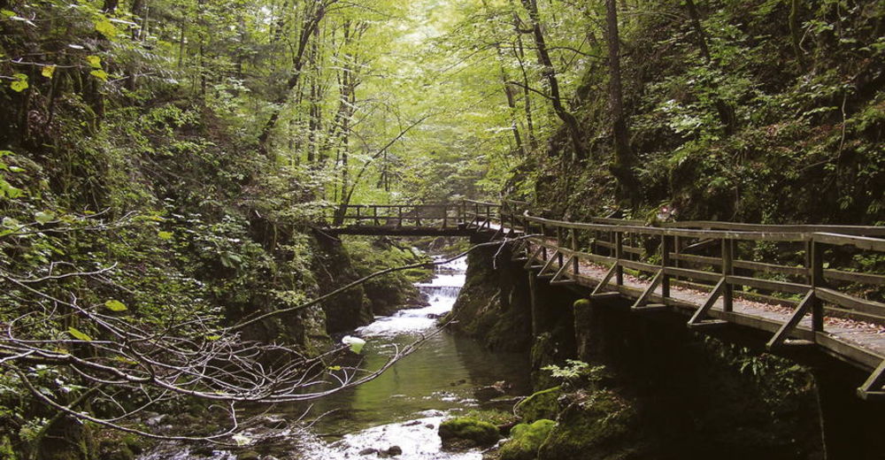
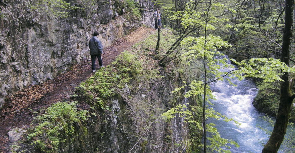
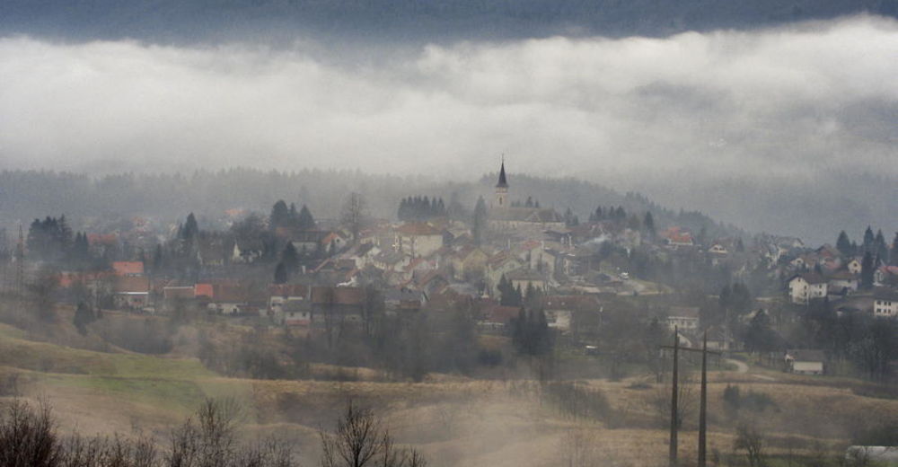
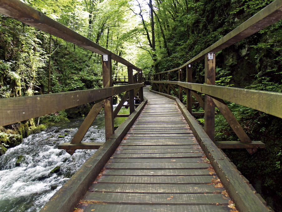
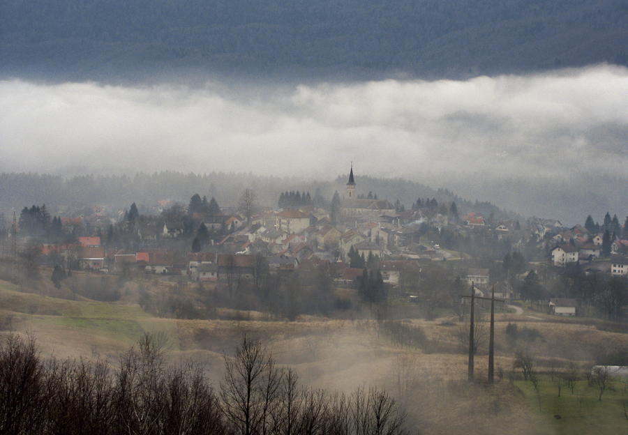
In the northern slopes of the forested massif of Velika Kapela, there is a canyon facing north, cut into the terrain, with a small river called Kamačnik flowing through it. In the area south of the canyon lies a vast uninhabited mountainous area – a continuation of the mountain of Klek above Ogulin. One of the highest peaks in this massif is Bijela kosa. The most attractive hiking point of interest is undoubtedly the canyon of Kamačnik, its waters springing out of a small dark green lake surrounded by steep slopes.
- Difficoltà
-
intermedio
- Valutazione
-
- Percorso
-
Restoran Kamačnik0,0 kmMedina marimba0,8 kmKamačnik3,1 kmKobeljak (954 m)20,9 kmSladivojka (946 m)22,3 kmSladivojka (906 m)22,5 km
- La stagione migliore
-
genfebmaraprmaggiulugagosetottnovdic
- Punto più alto
- 1.068 m
- Destinazione
-
Klek
- Profilo altimetrico
-
 © outdooractive.com


-

-
AutoreIl tour Via Dinarica HR-G-04 From Kamačnik to Klek è utilizzato da outdooractive.com fornito.
GPS Downloads


Altri tour nelle regioni
-
Gorski kotar
28
-
Vrbovsko
7