Via Dinarica HR-W-14 Southern Velebit (I) – route to Šugarska duliba


- Descrizione rapida
-
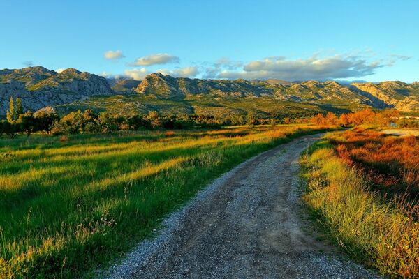
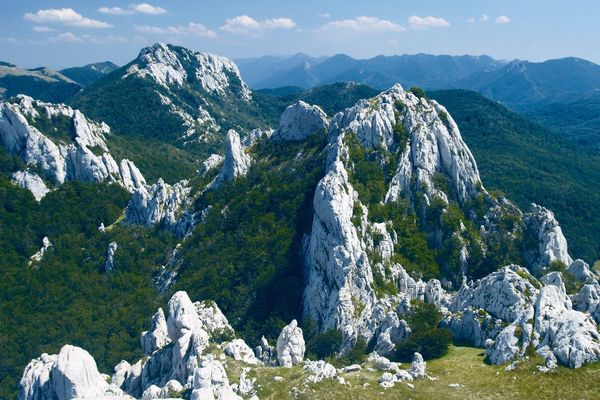
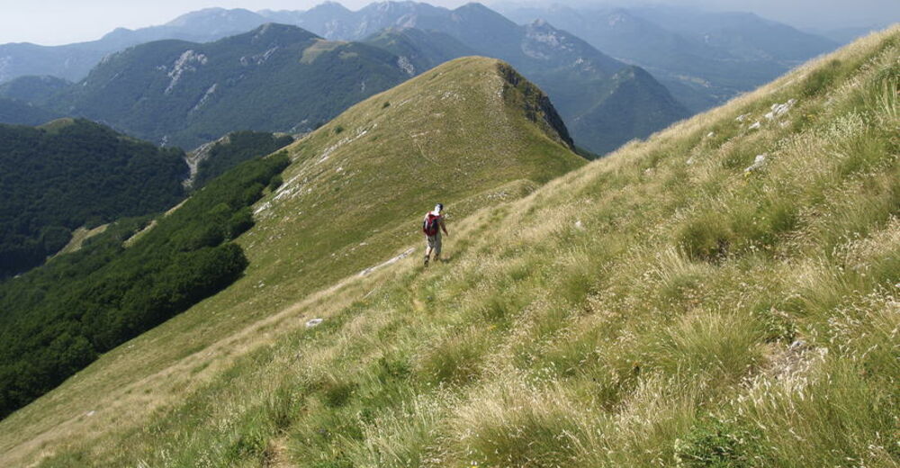
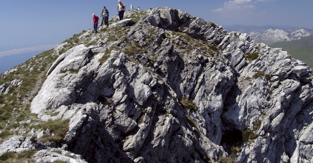
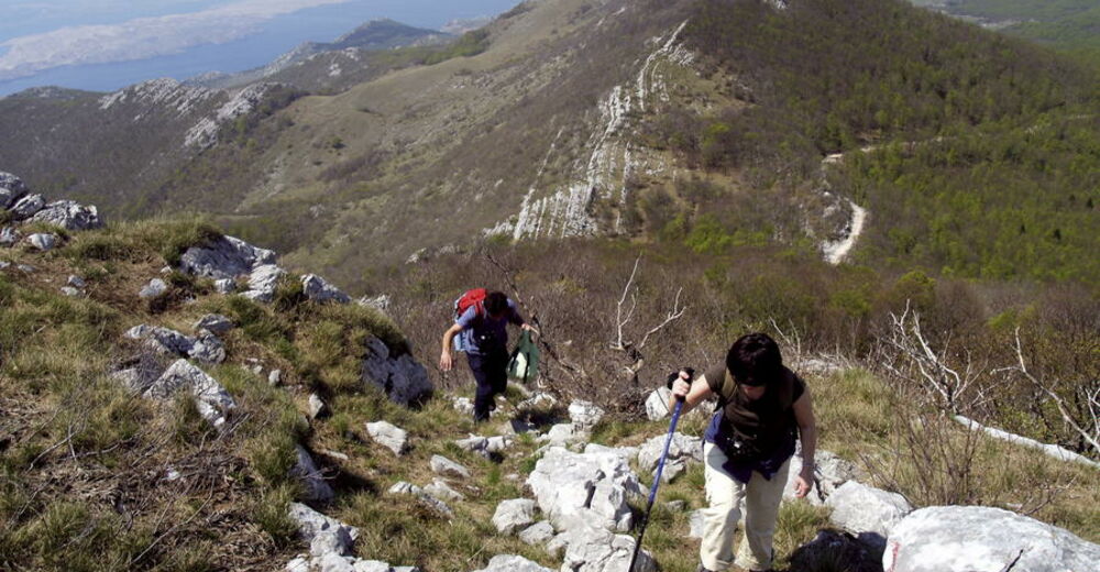
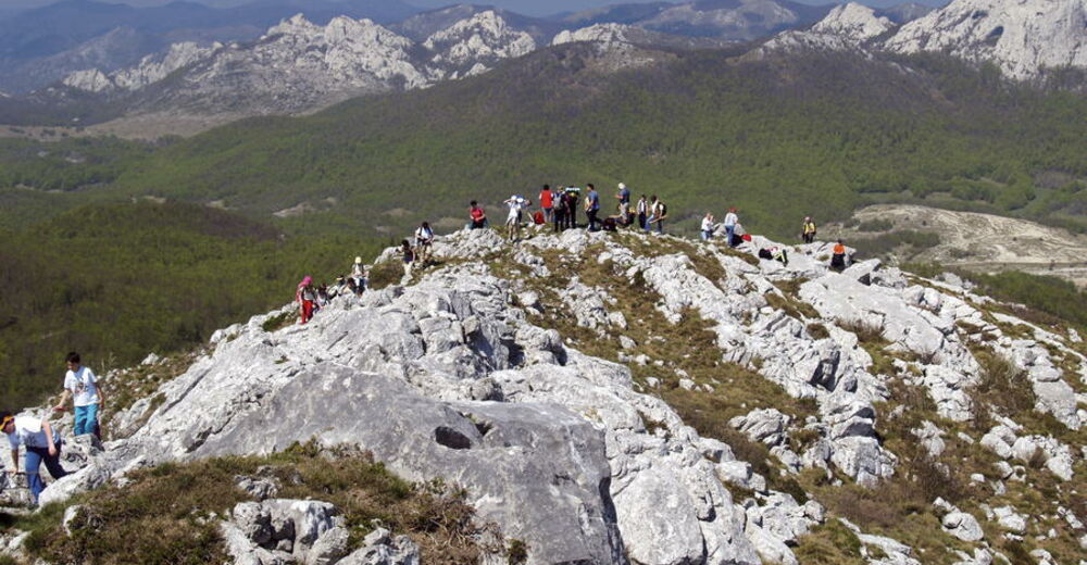
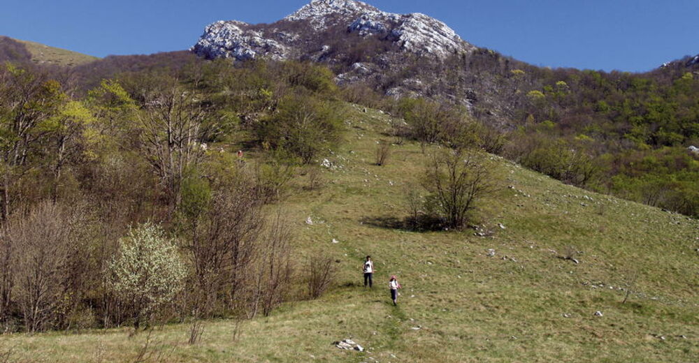
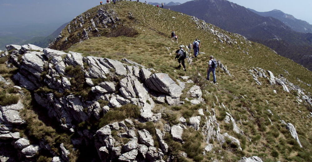
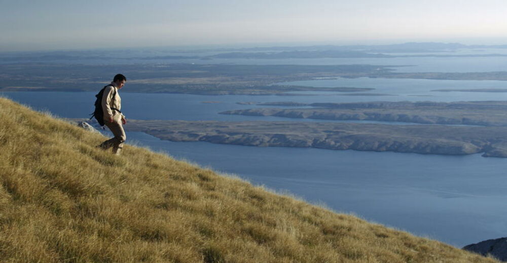
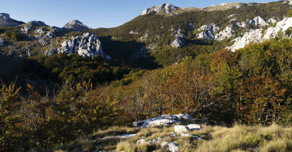
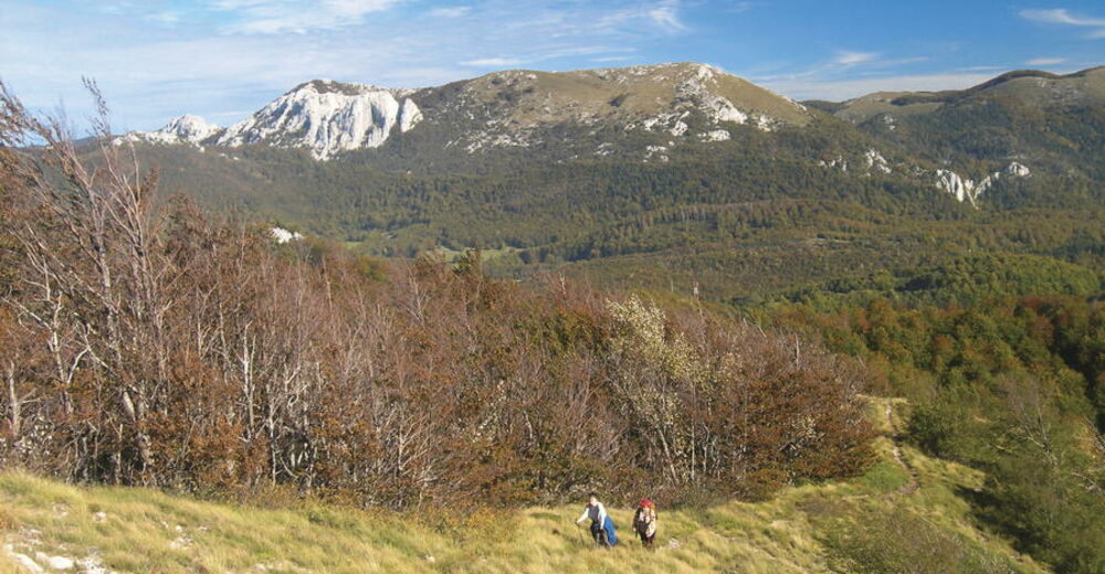
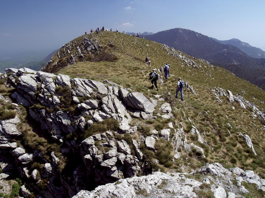
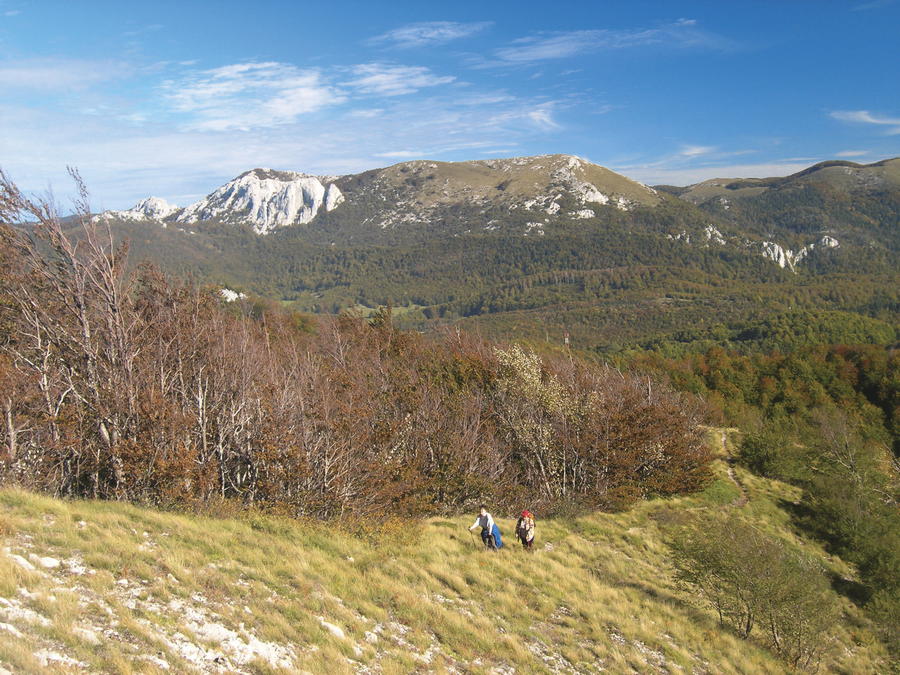
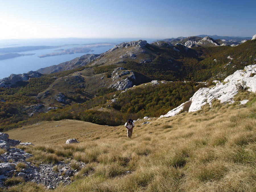
Even though Velebit is at its narrowest in its southern section, this is also the area of its highest peaks. When viewed from the Zagreb-Split Motorway or from the peak of the hill of Zir, southern Velebit leaves a special impression, as it resembles an immense wall from that side. The littoral slope of the mountain is not as steep as the slope facing the region of Lika, and it also includes several pronounced terraces in high elevations, similarly as in the northern and central areas of Velebit. In the peak area of southern Velebit, we again come to two parallel and longitudinal series of peaks – one rising above Lika, and another above the sea. The first series of peaks is dominated by Visočica, Jelovac, Počiteljski vrh, Badanjski vrhovi and Badanj; the second series of peaks includes V. Pločeviti, Kozjak and Višerujna. These series of peaks together close trough-shaped karst valleys, large dolines and sinkholes, separated by barriers of various sizes. The largest such sites are Ramino korito and Šugarsko korito, followed by Šugarska duliba, Jančarica, Oglavinovac and Javornik. It is only at the southern end, in the section from Vaganski vrh to Sveto brdo, that the littoral and Lika series of peaks connect into a single ridge.
- Difficoltà
-
intermedio
- Valutazione
-
- Percorso
-
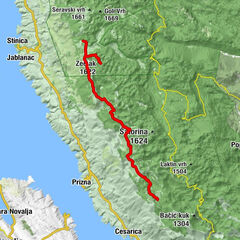
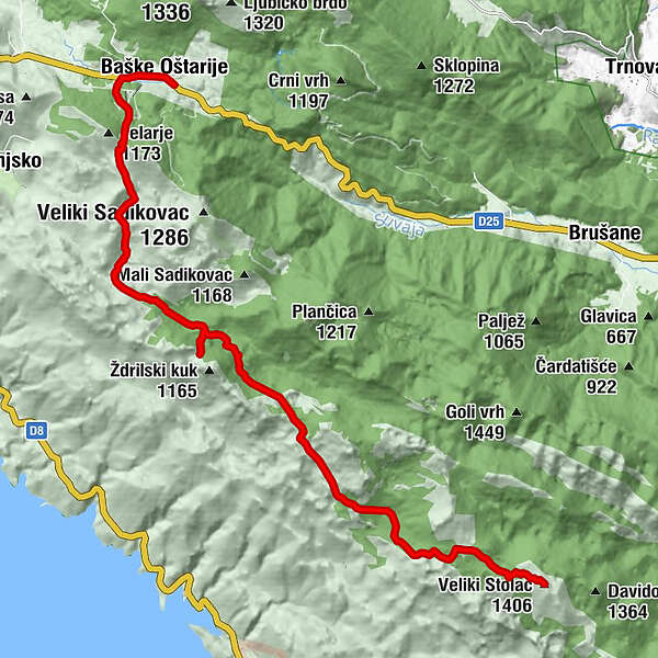
crkva Pohoda Svete Elizabete0,2 kmBaške Oštarije0,2 kmJurkova dolina4,7 kmPiskovita kosica6,5 kmŽdrilo (1.040 m)6,9 kmMiljkovića peć11,3 kmBukova draga12,9 kmŠugarska Duliba15,1 kmVeliki Stolac (1.406 m)16,0 km
- La stagione migliore
-
genfebmaraprmaggiulugagosetottnovdic
- Punto più alto
- 1.379 m
- Destinazione
-
(Veliki Stolac)
- Profilo altimetrico
-
 © outdooractive.com


-

-
AutoreIl tour Via Dinarica HR-W-14 Southern Velebit (I) – route to Šugarska duliba è utilizzato da outdooractive.com fornito.