
- Descrizione rapida
-
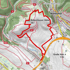
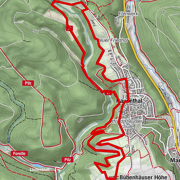
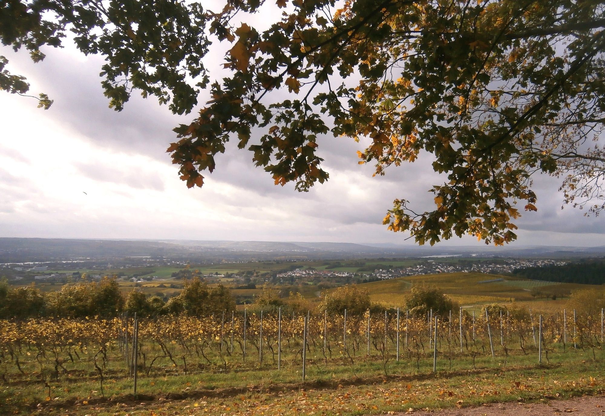
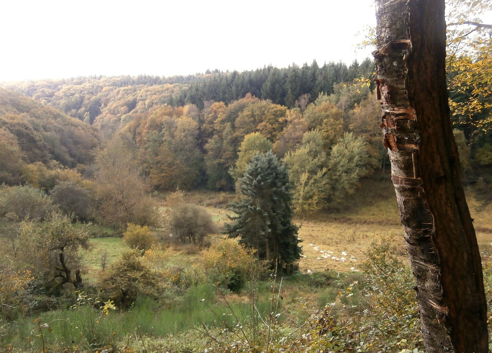
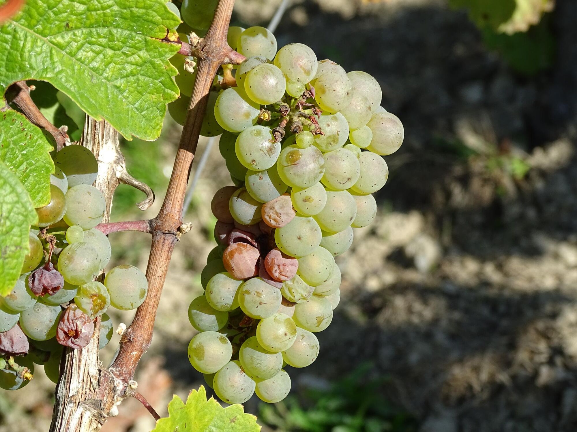
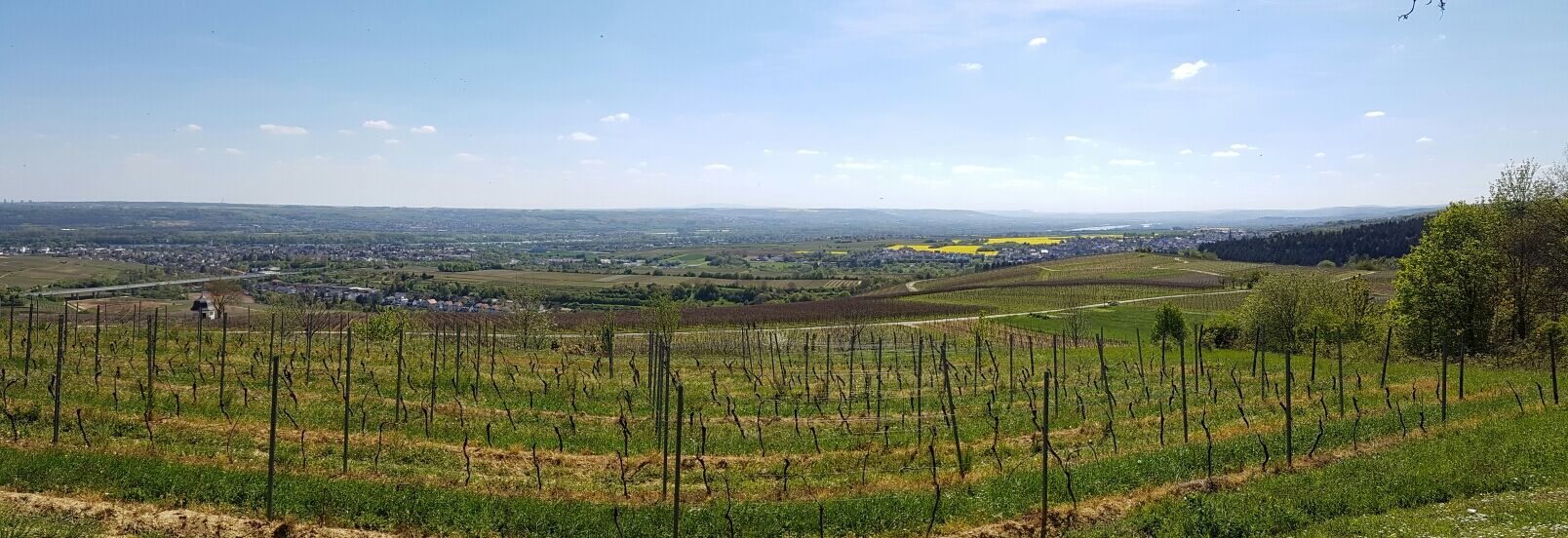
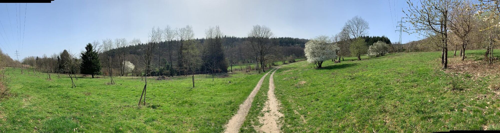
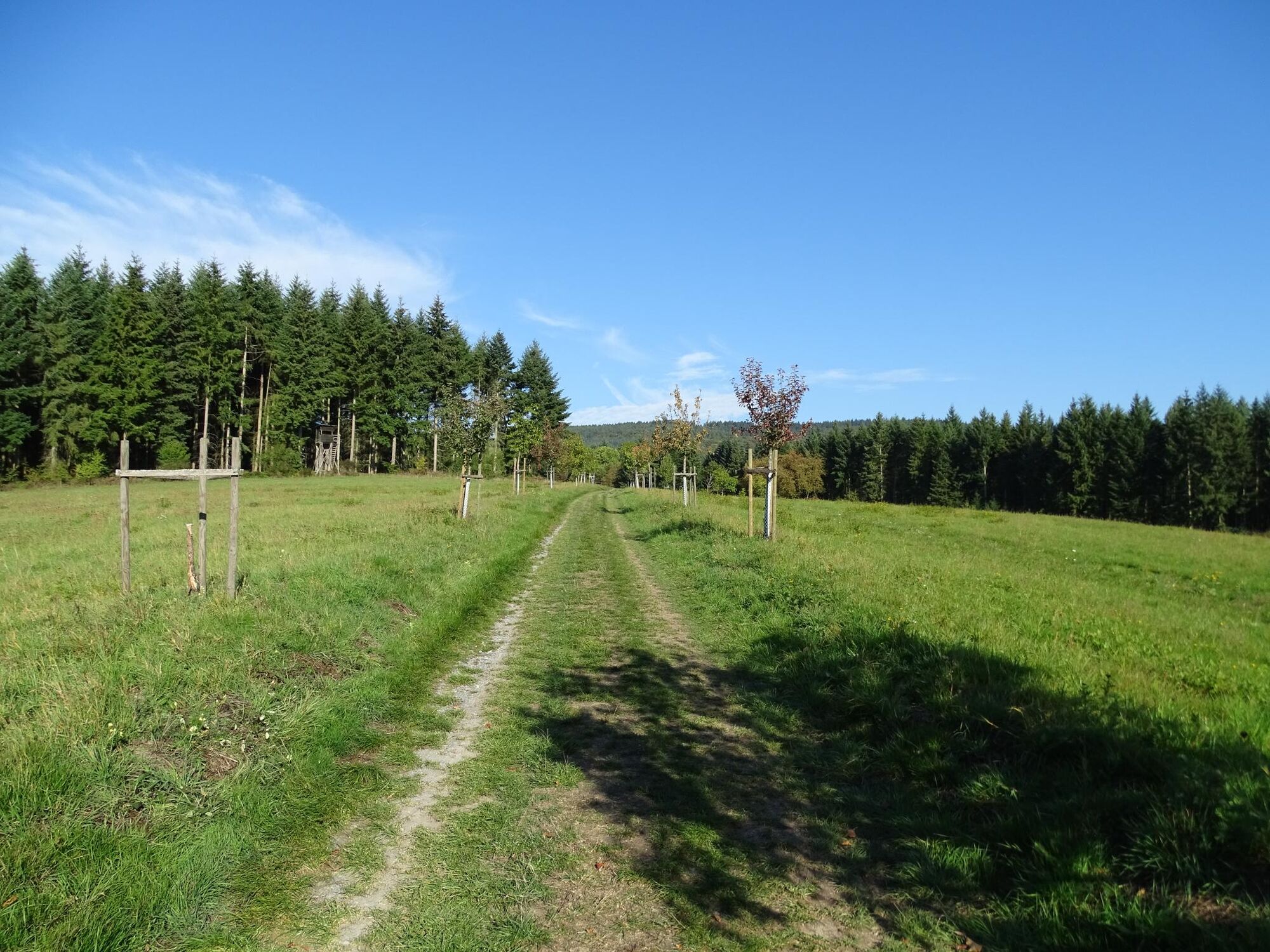
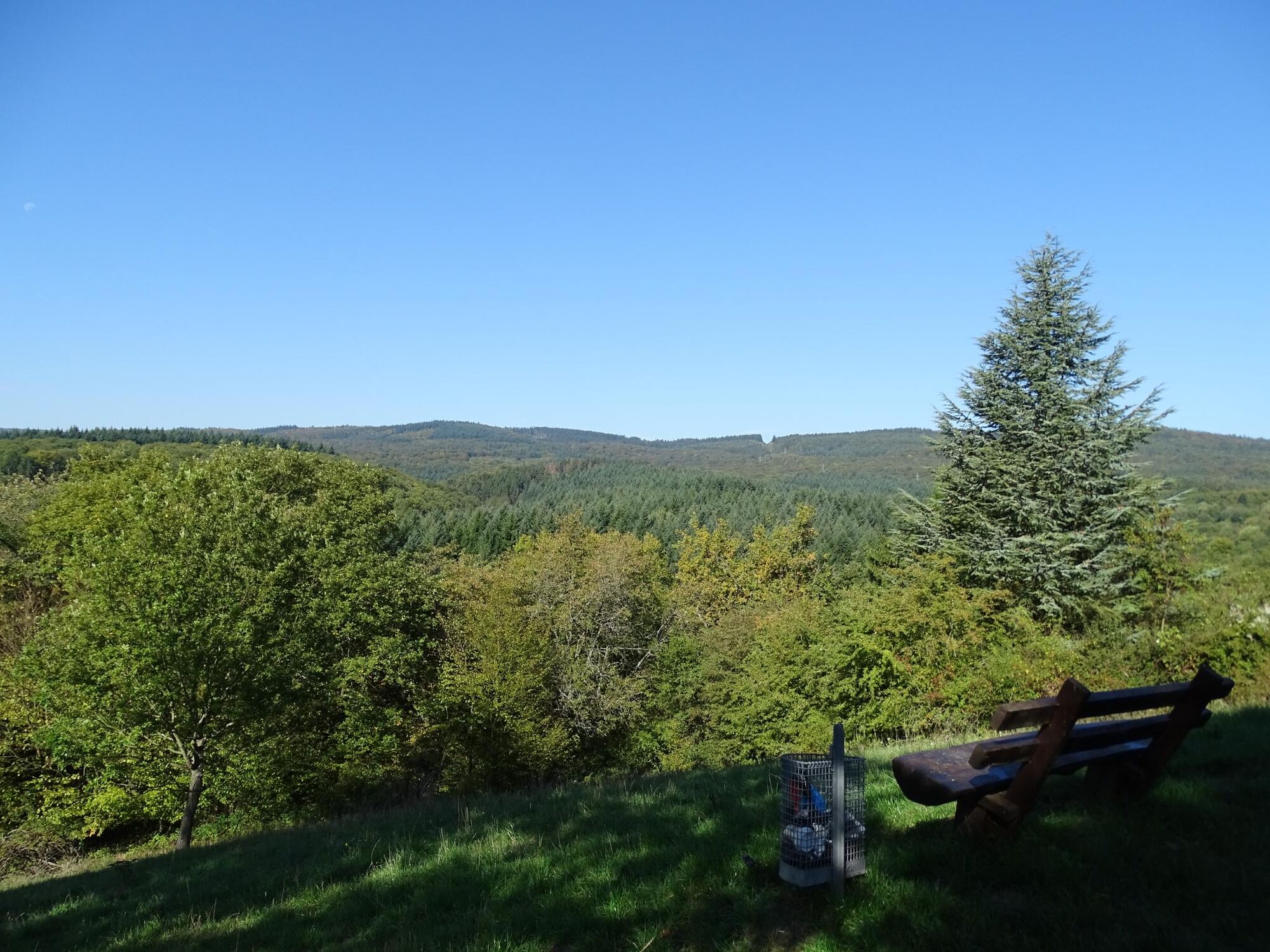
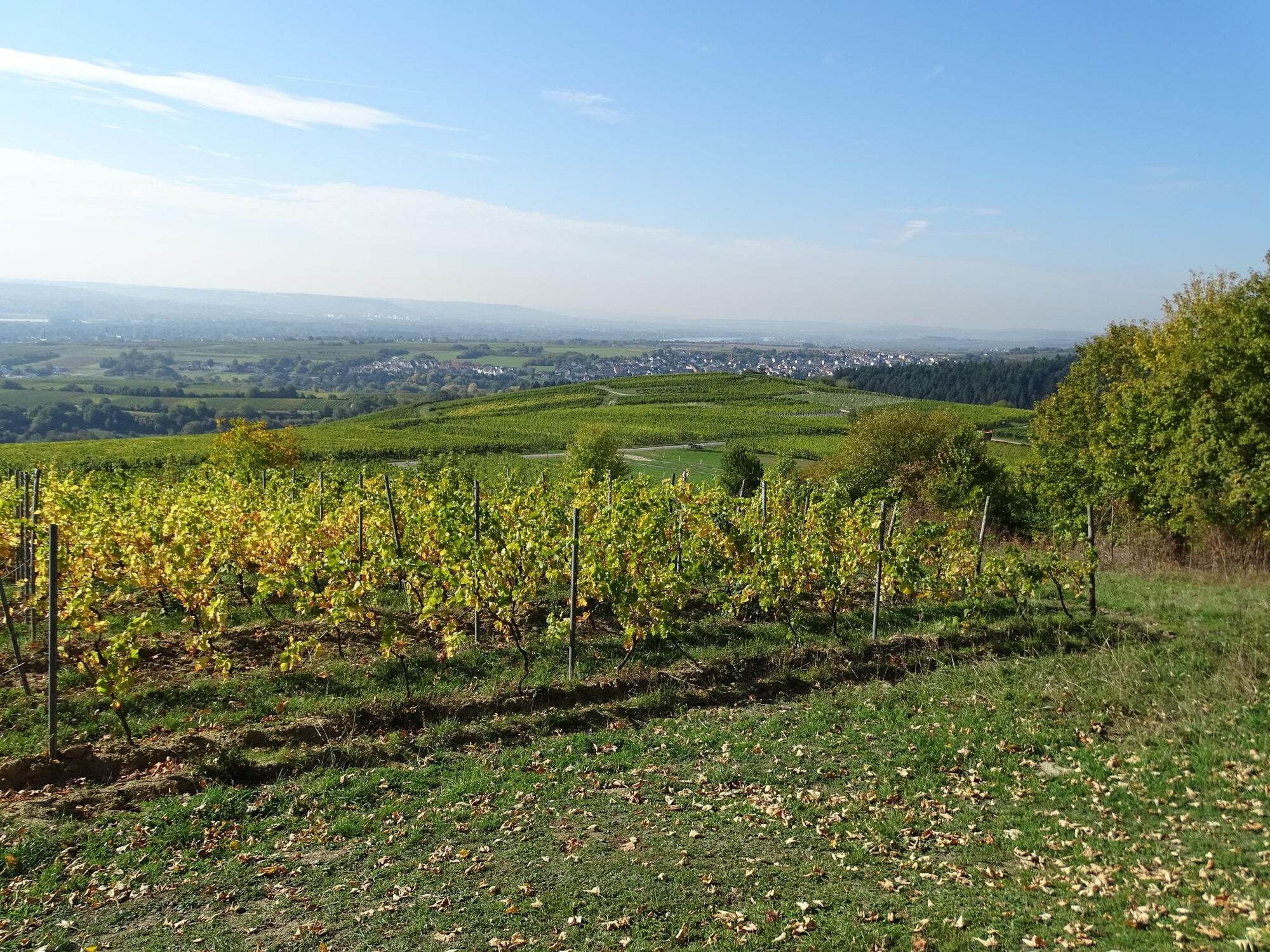
Die „Rauenthaler Spange“ ist ein sehr abwechslungsreicher Weg – Wald, Bäche, Wiesen und Weinberge bieten den Augen immer wieder neue Perspektiven.
- Difficoltà
-
facile
- Valutazione
-
- Percorso
-
Brunnen0,0 kmMax' Tisch;Moni's Bank und Baum0,7 kmBubenhäuser Höhe (267 m)4,7 kmRauenthal6,3 kmBrunnen8,3 km
- La stagione migliore
-
genfebmaraprmaggiulugagosetottnovdic
- Punto più alto
- 282 m
- Destinazione
-
Wanderparkplatz Grillhütte Rauenthal „Auf der Großen Straße“
- Profilo altimetrico
-
 © outdooractive.com
- Autore
-
Il tour Rauenthaler Spange è utilizzato da outdooractive.com fornito.
GPS Downloads


Info generali
Punto di ristoro
Flora
Fauna
Promettente