© Marktgemeinde Hilders - Katharina Lubosz - Marktgemeinde Hilders

© Marktgemeinde Hilders - Katharina Lubosz - Marktgemeinde Hilders

© Marktgemeinde Hilders - Katharina Lubosz - Marktgemeinde Hilders

© Rhön GmbH - Katharina Lubosz

- Descrizione rapida
-
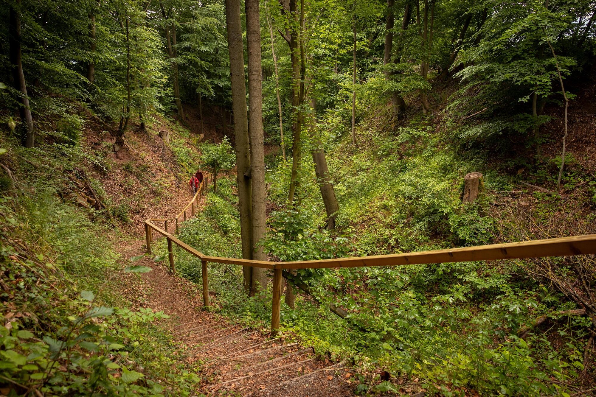
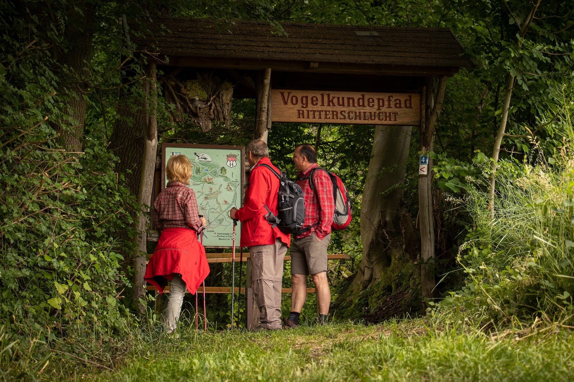
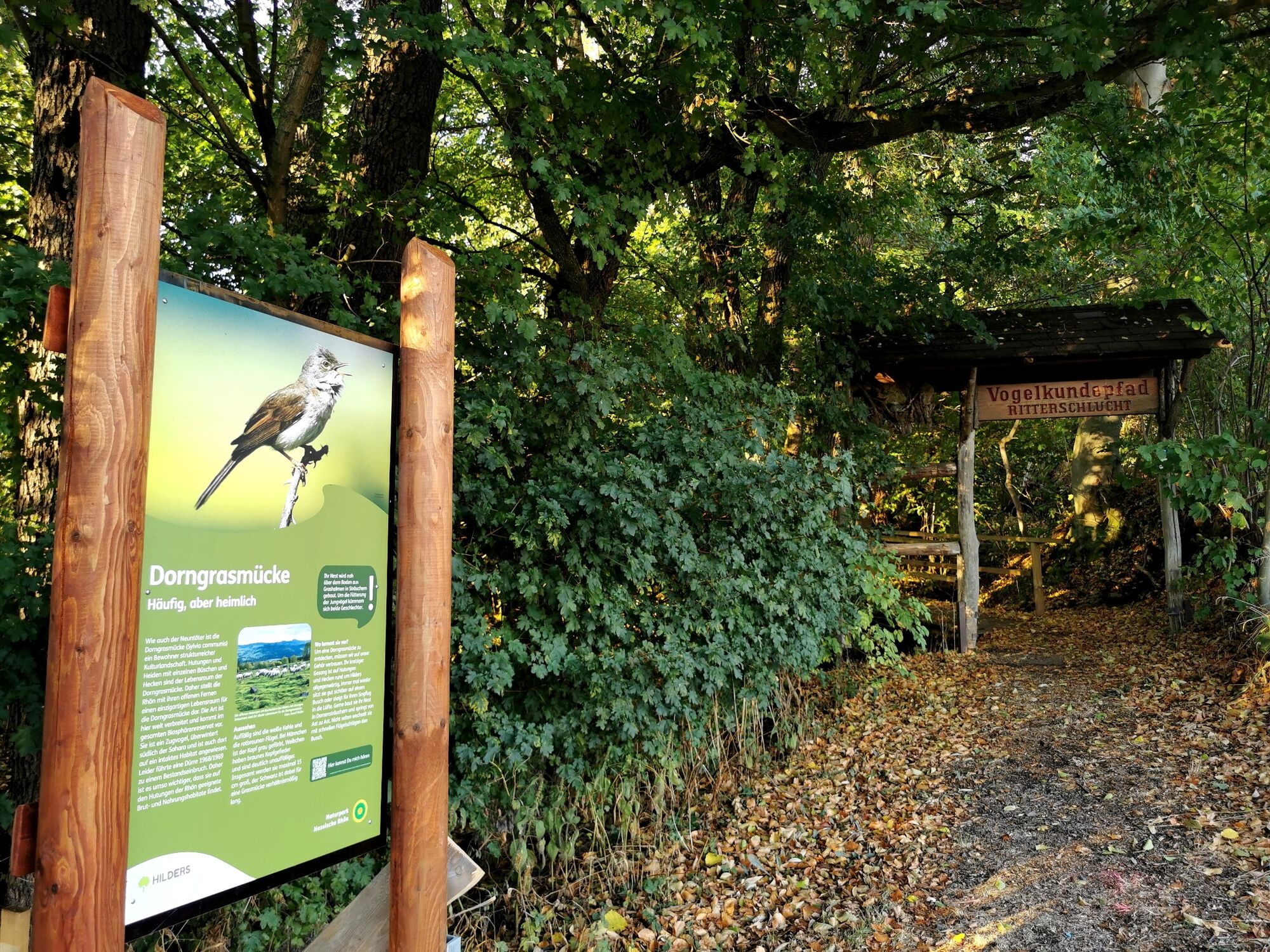
This circular route leads along the edge of the forest via Hilders to the Ritterschlucht.
- Difficoltà
-
facile
- Valutazione
-
- Percorso
-
Hilders0,7 kmSt. Bartholomäus1,0 km
- La stagione migliore
-
genfebmaraprmaggiulugagosetottnovdic
- Punto più alto
- 519 m
- Destinazione
-
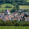
Gemeindezentrum Hilders, Marienstraße
- Profilo altimetrico
-
 © outdooractive.com

-
-
AutoreIl tour Rhön Rundweg 4 Hilders - Rhön è utilizzato da outdooractive.com fornito.
GPS Downloads


Info generali
Punto di ristoro
Altri tour nelle regioni
-
Rhön / Hessen
534
-
Hessisches Kegelspiel
278
-
Hilders
200