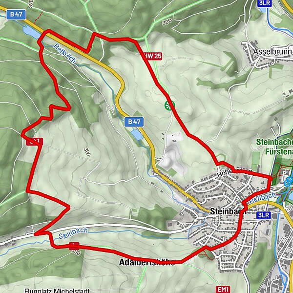
Dati percorsi
7,87km
199
- 360m
194hm
198hm
02:00h
- Descrizione rapida
-
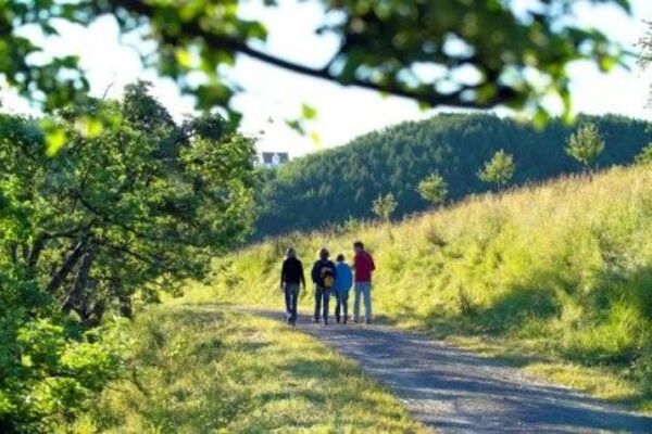
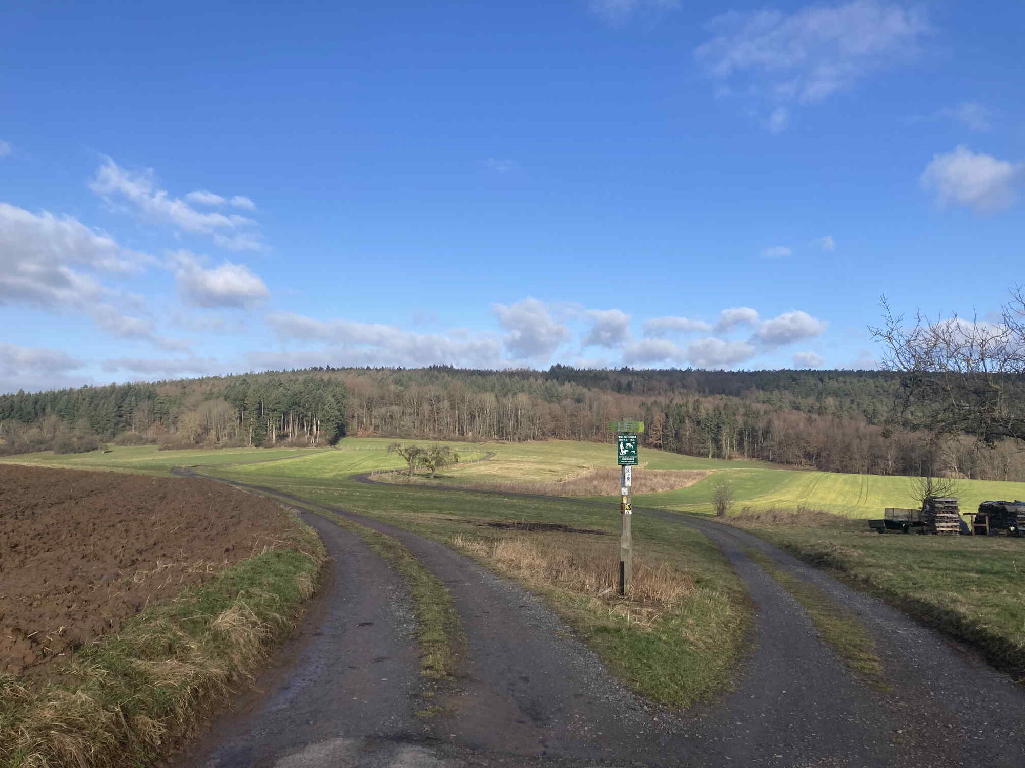
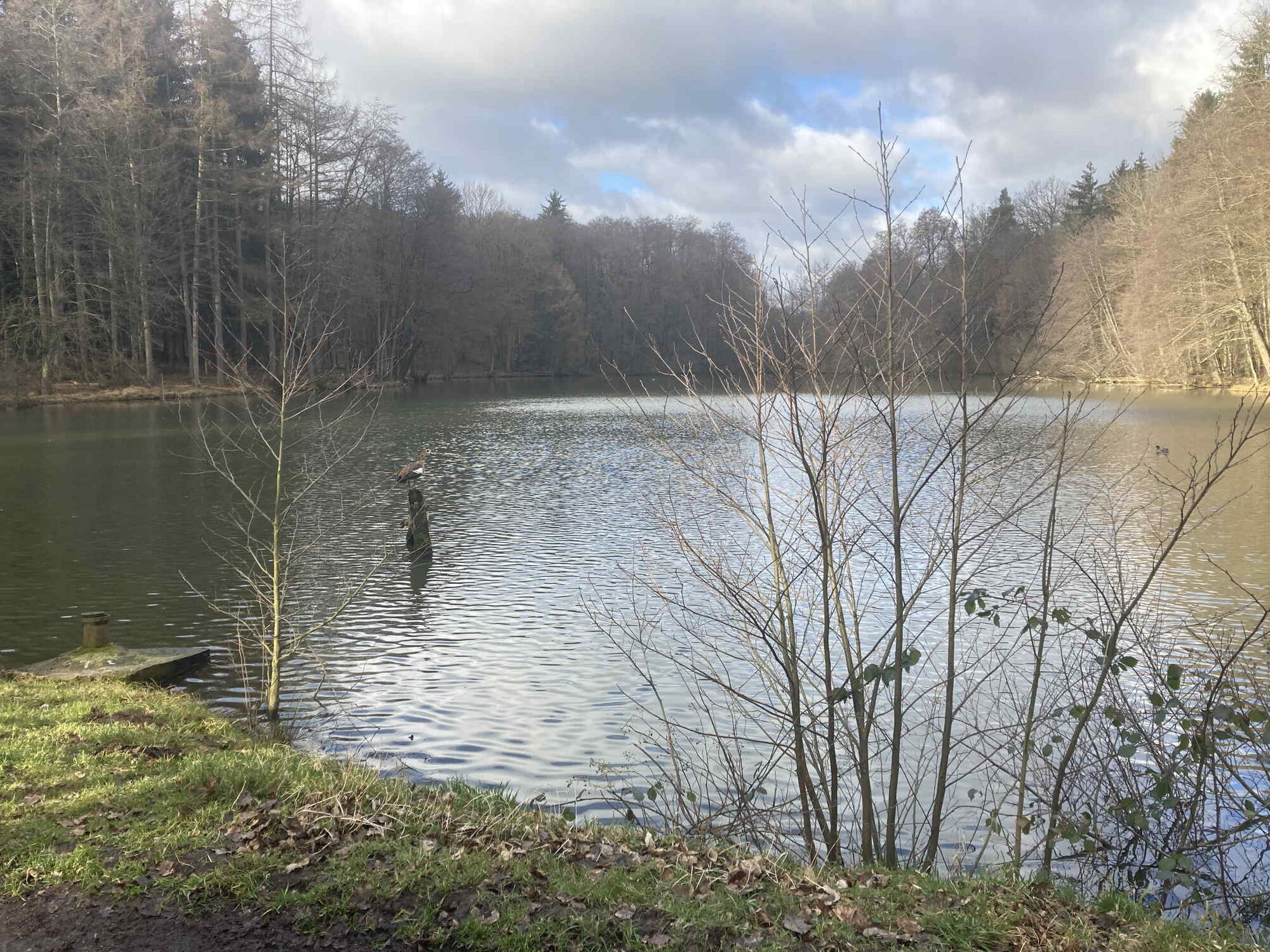
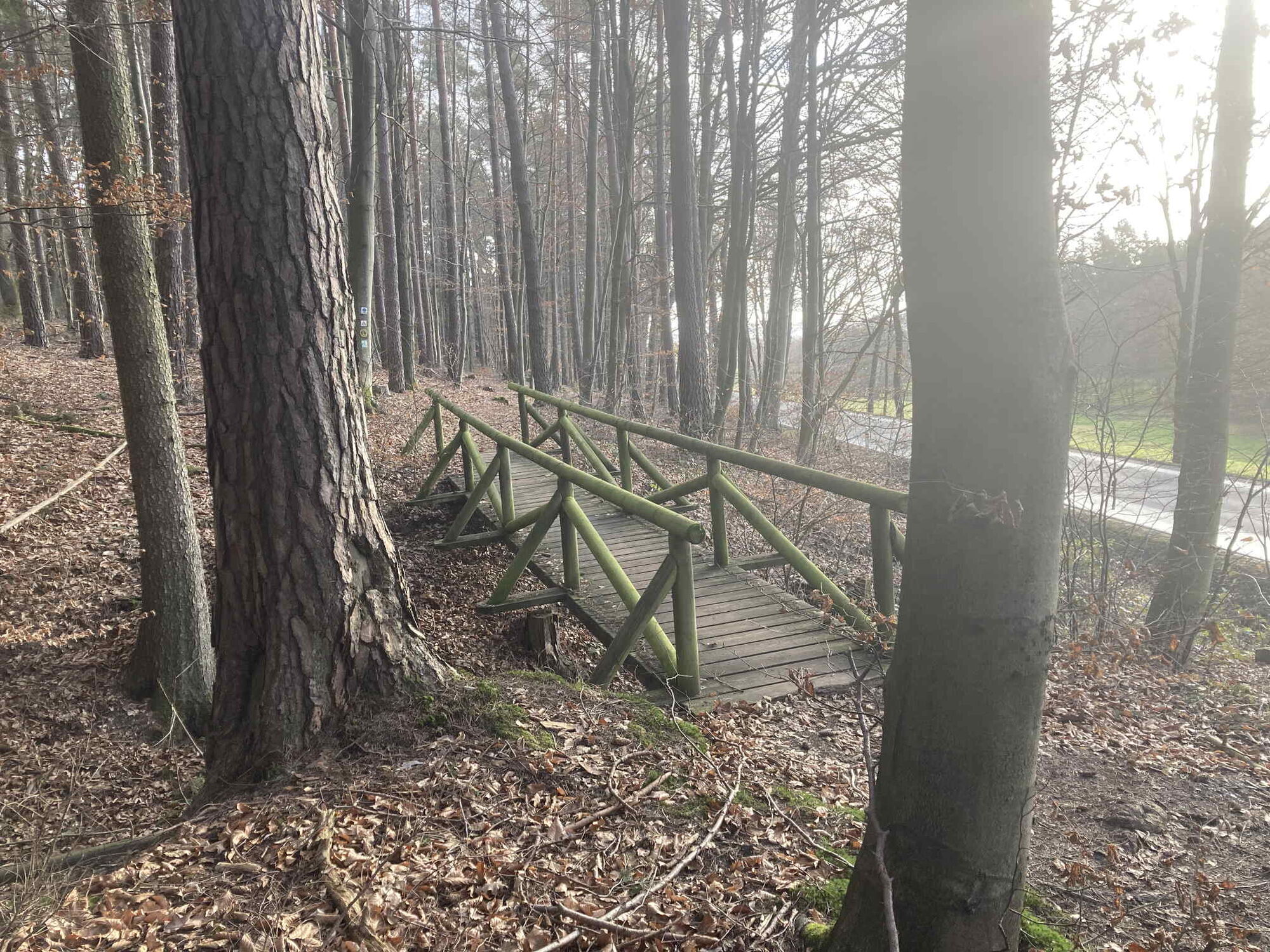
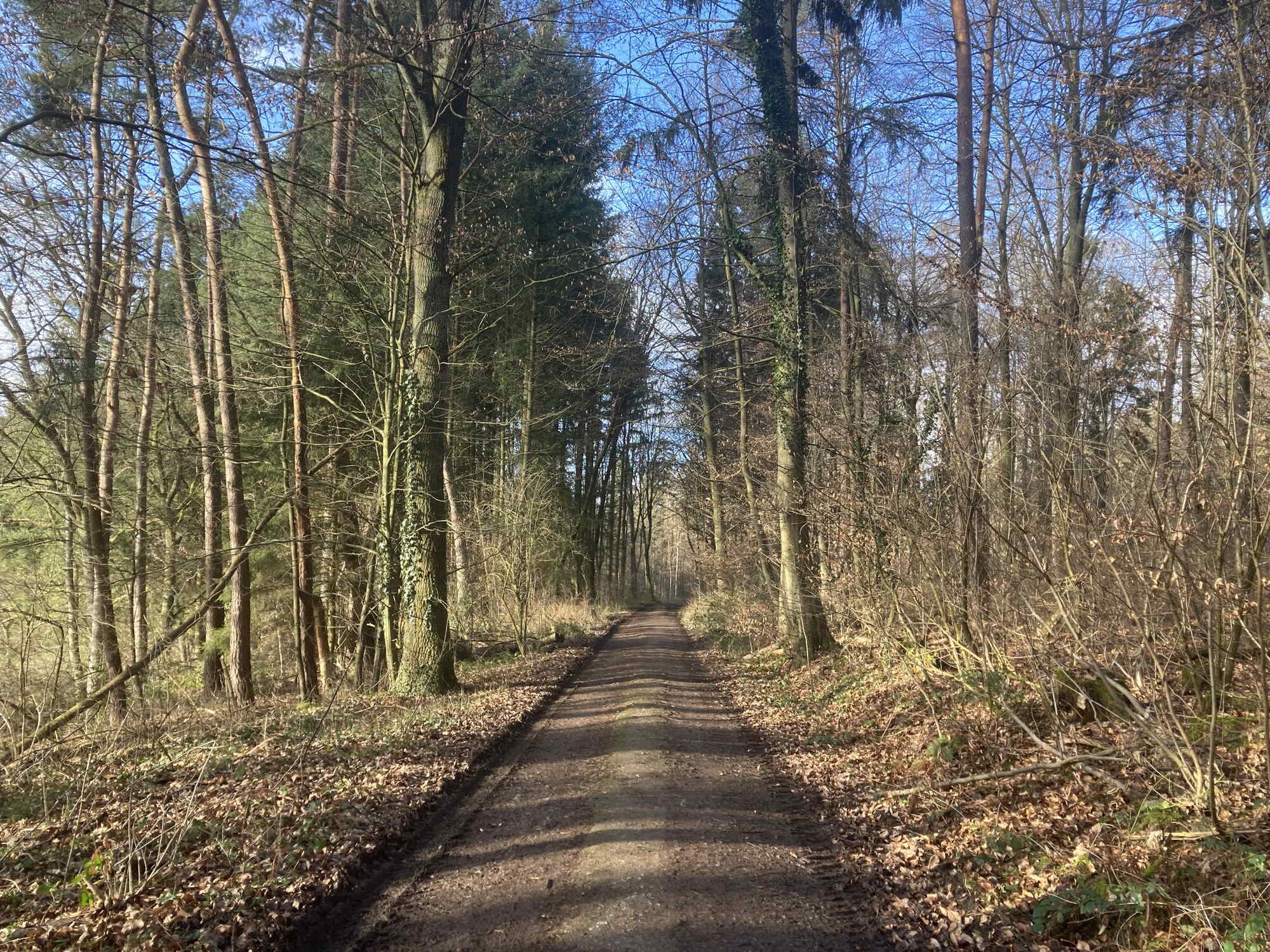
Abwechslungsreiche Wanderung mit ein paar wenigen, nicht allzu steilen Anstiegen.
- Difficoltà
-
facile
- Valutazione
-
- Percorso
-
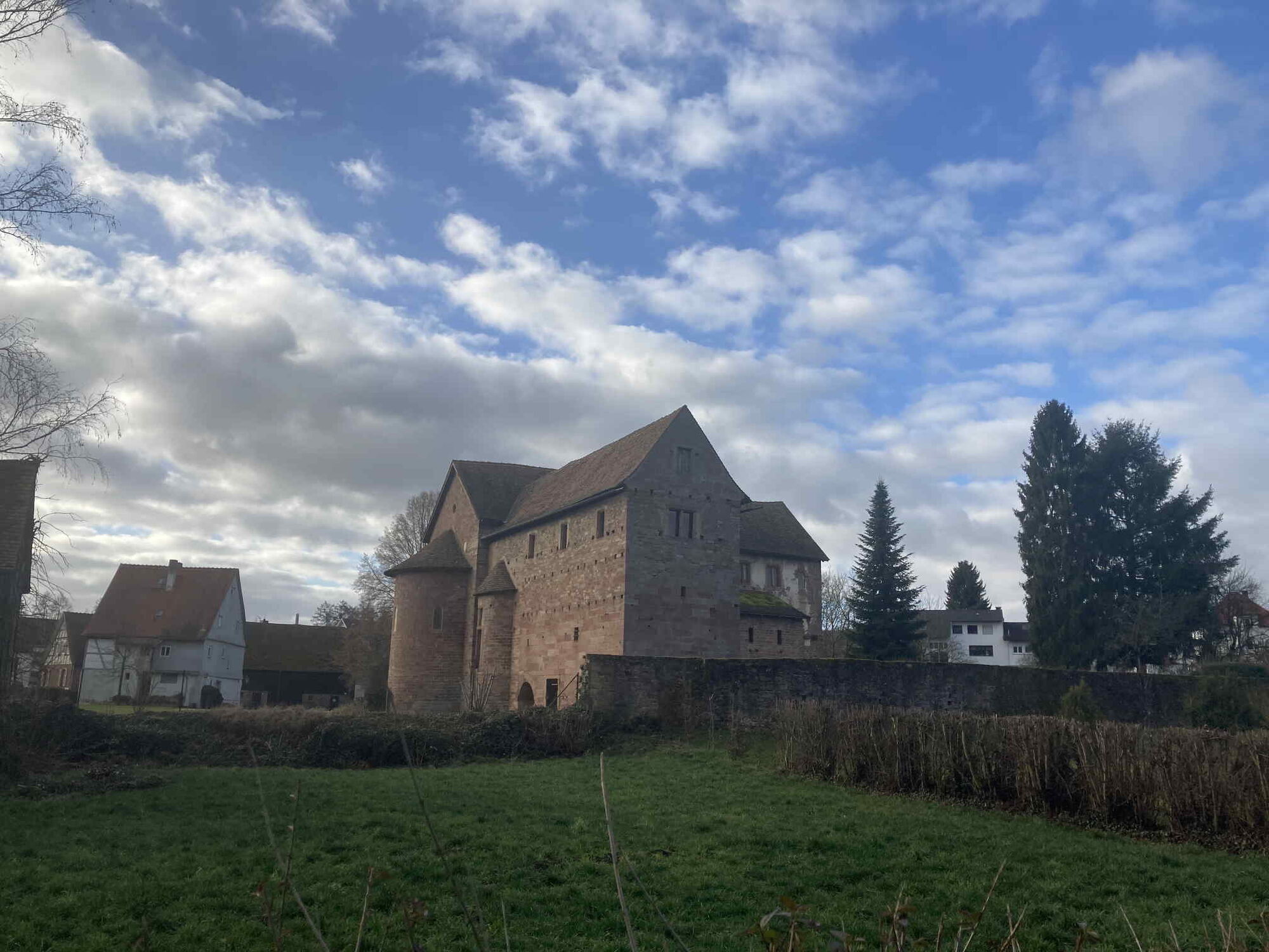
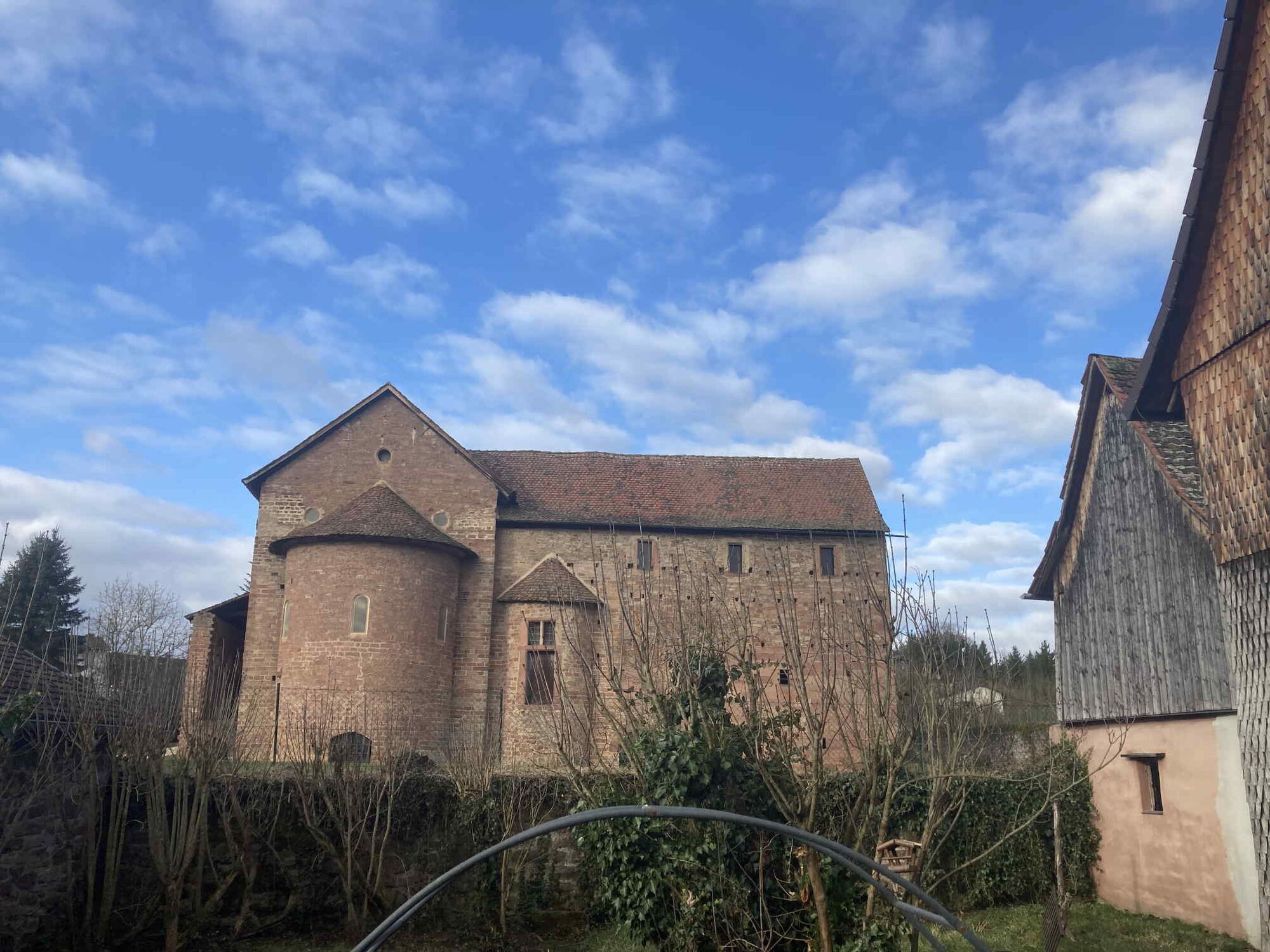
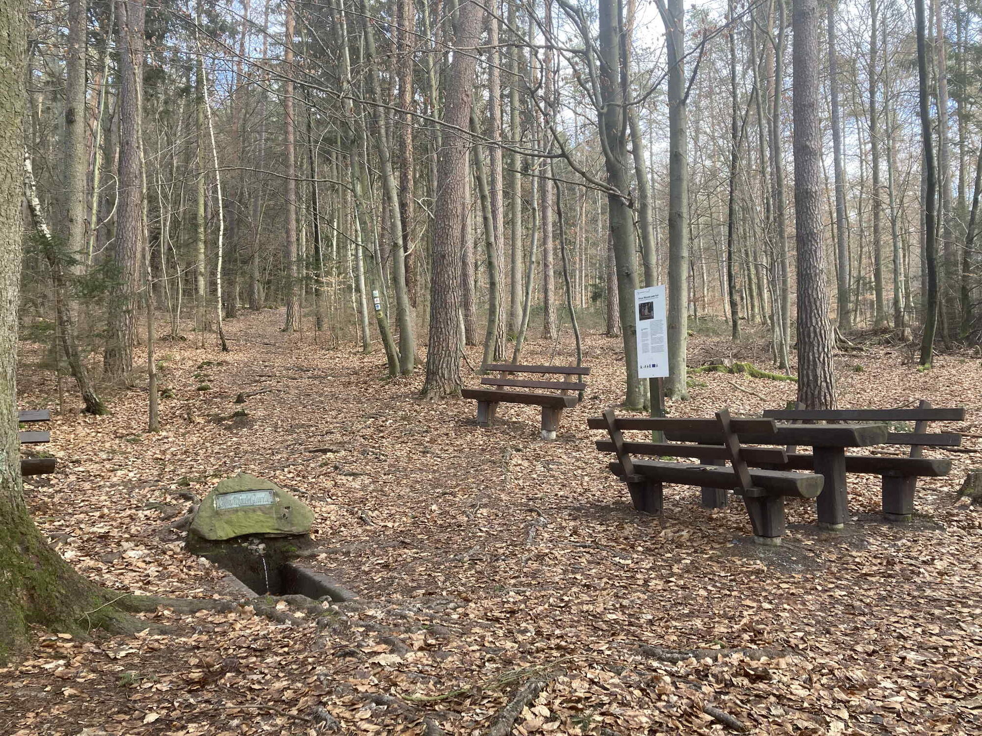
Steinbach0,3 kmRippertshöhe1,0 kmEinhardsquelle2,0 kmAdalbertshöhe6,6 kmSteinbach7,2 kmEinhardsbasilika7,7 km
- Punto più alto
- 360 m
GPS Downloads


Condizioni dei sentieri
Asfalto
(20)
Ghiaia
(40)
Prato
Foresta
(40)
Roccia
Esposta
Altri tour nelle regioni
-
Bergstraße Odenwald
791
-
Munteres Mümlingtal
453
-
Erbach
50