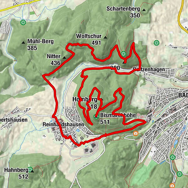
Rundweg: Reinhardshöhe - Bismarckhöhe - Hombergturm - Bilsteinklippen - Nitter - Reinhardhausen - Reinhardshöhe

Escursionismo


Dati percorsi
17,87km
262
- 530m
626hm
628hm
04:55h
- Descrizione rapida
-
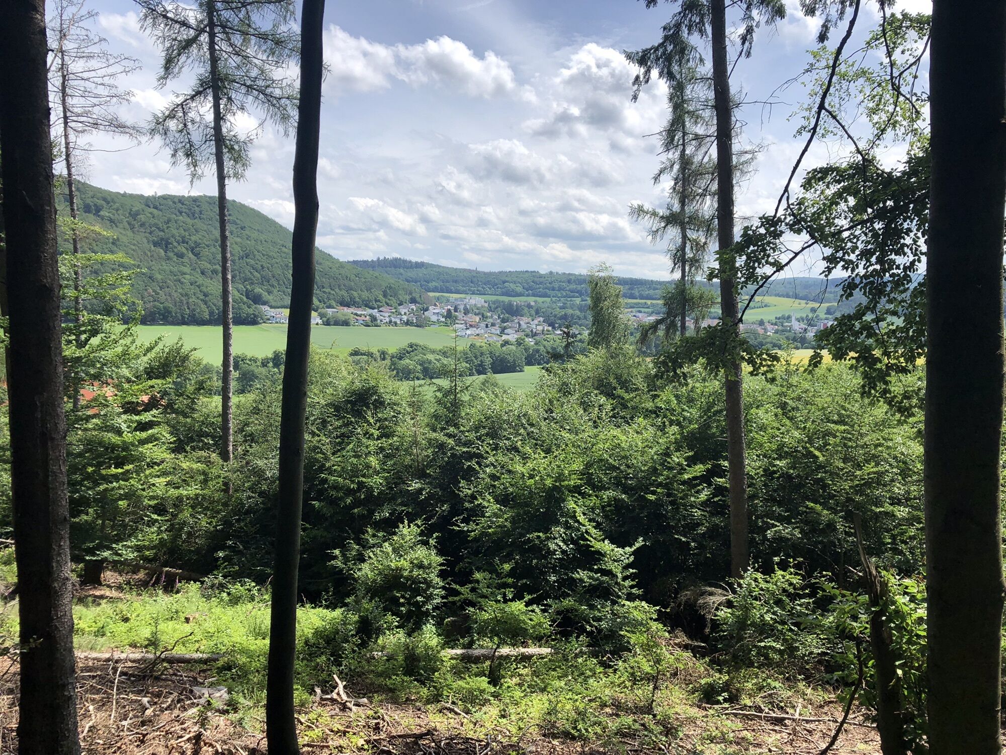
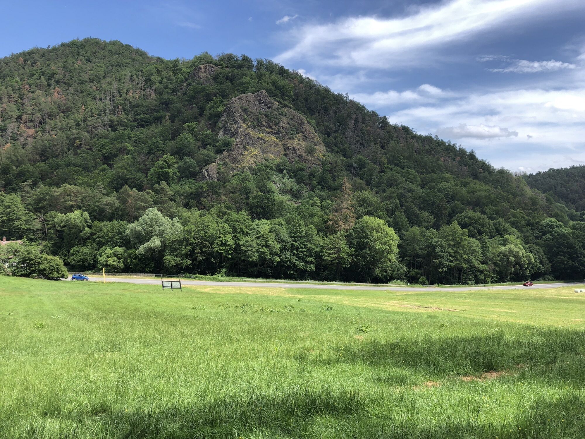
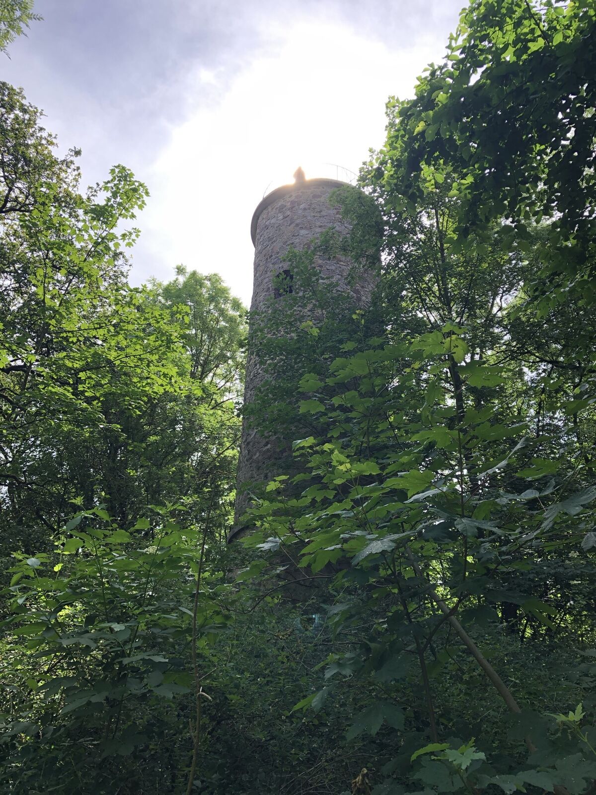
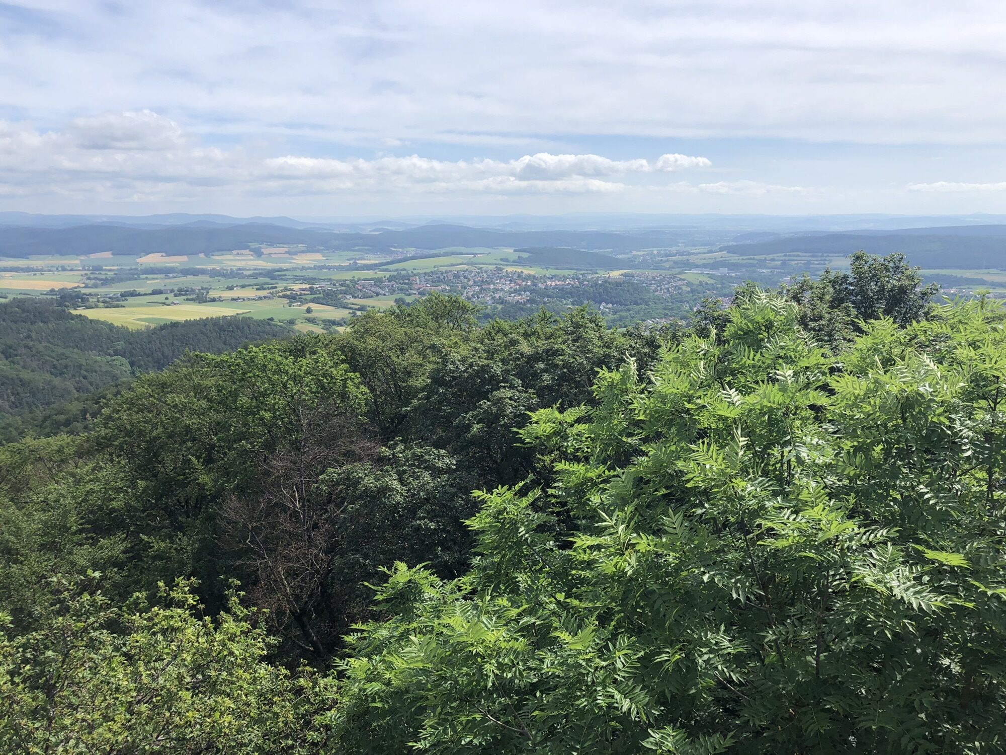
Rundweg über den Gipfel des Homberg und die Bismarckhöhe, hinunter nach Reitzenhagen. Von da im steilen Anstieg hinauf zu den sehr sehenswerten Bilsteinklippen und im weiten Bogen vorbei am Nitter und durch Reinhardshausen zur Reinhardshöhe.
- Difficoltà
-
facile
- Valutazione
-
- Percorso
-
Bismarckhöhe (511 m)4,1 kmHomberg (518 m)4,5 kmHoyerplatz5,5 kmReitzenhagen9,5 kmBilsteinklippen10,9 kmReinhardshausen16,2 km
- La stagione migliore
-
genfebmaraprmaggiulugagosetottnovdic
- Punto più alto
- 530 m

GPS Downloads


Altri tour nelle regioni