

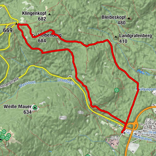
Dati percorsi
12,87km
301
- 692m
402hm
399hm
03:16h
- Descrizione rapida
-
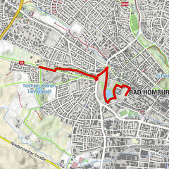
Tour ab Taunusinformationszentrum zum Sandplacken
- Difficoltà
-
facile
- Valutazione
-
- Percorso
-
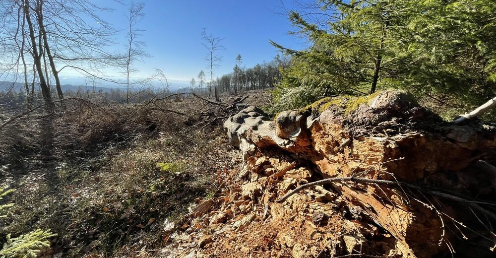
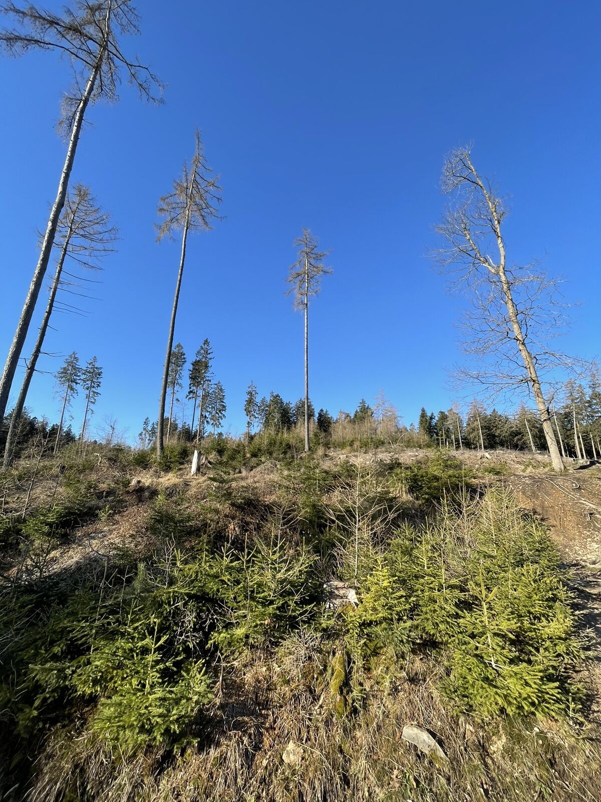
Oberursel (197 m)0,1 kmWaldtraut0,1 kmSeoul0,1 kmKreuzwege4,2 kmKolbenberg (684 m)5,9 kmTannenheim7,0 kmBärenhöhle11,1 kmSeoul12,7 kmWaldtraut12,7 kmOberursel (197 m)12,7 km
- La stagione migliore
-
genfebmaraprmaggiulugagosetottnovdic
- Punto più alto
- 692 m


GPS Downloads


Altri tour nelle regioni
-
Taunus
621
-
Wiesbaden
426
-
Kronberg im Taunus
171