- Descrizione rapida
-
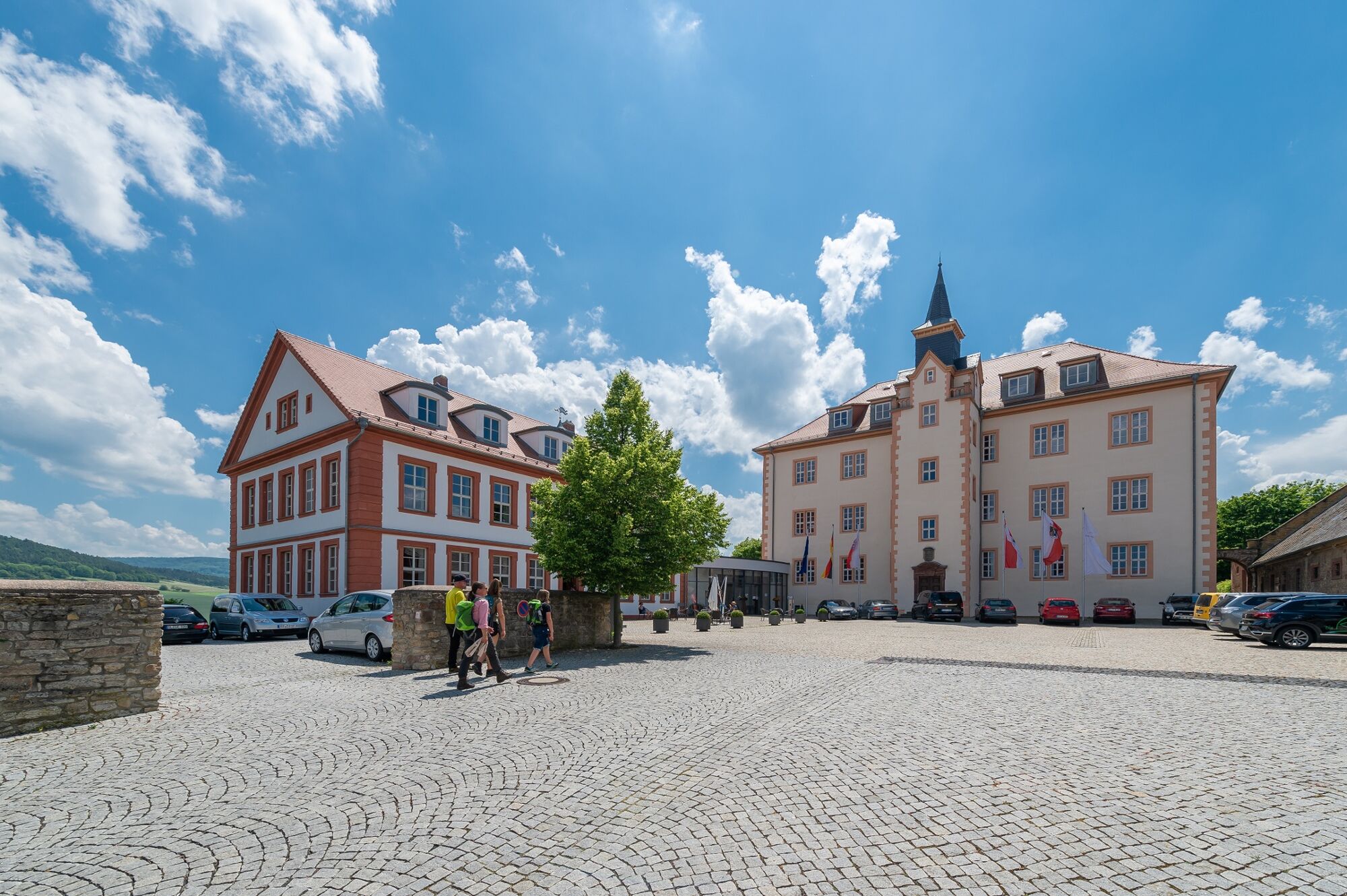
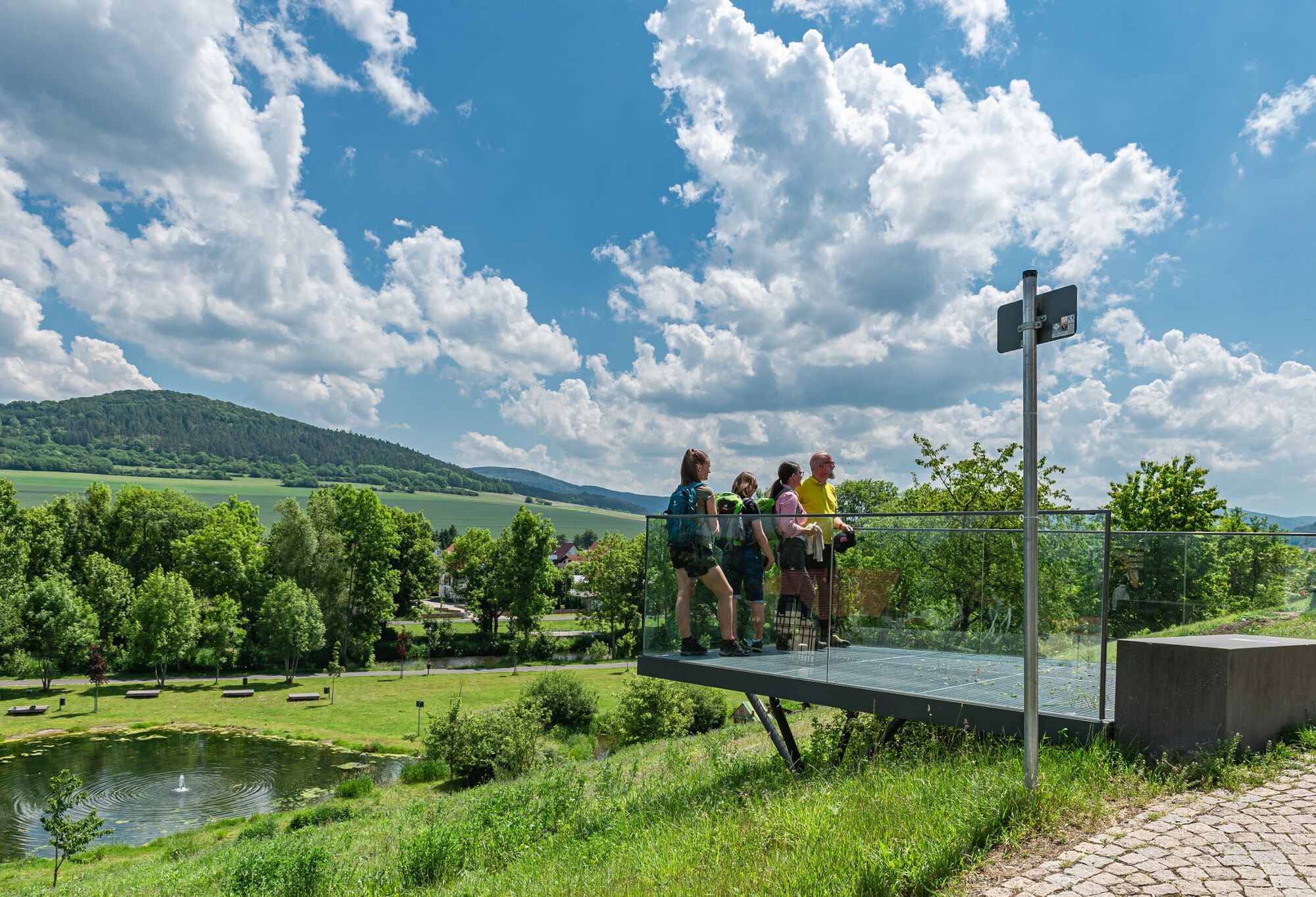
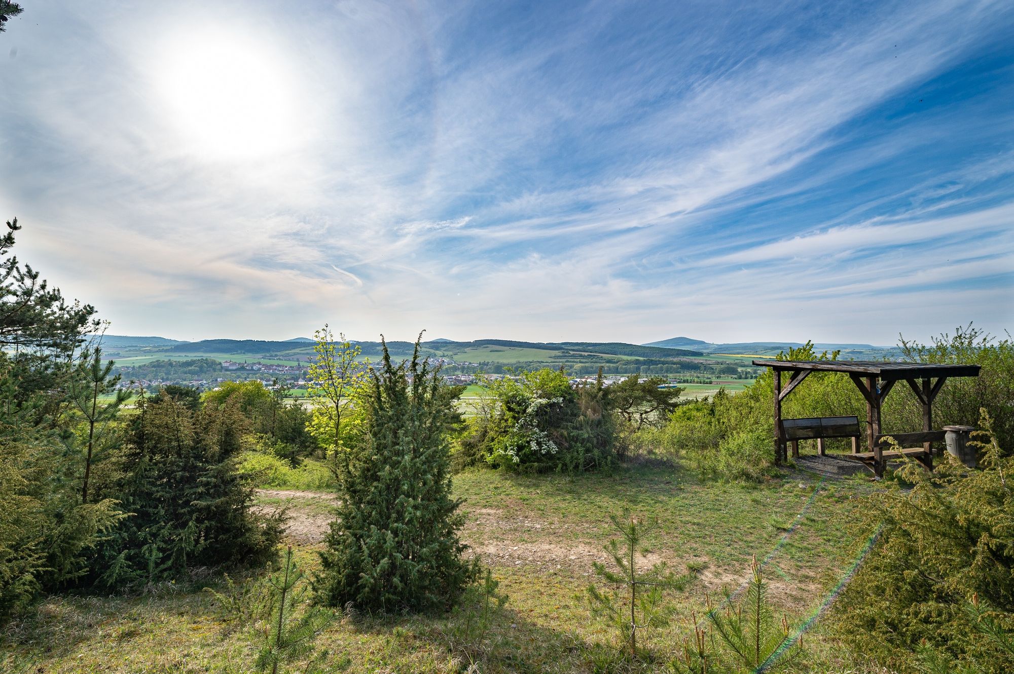
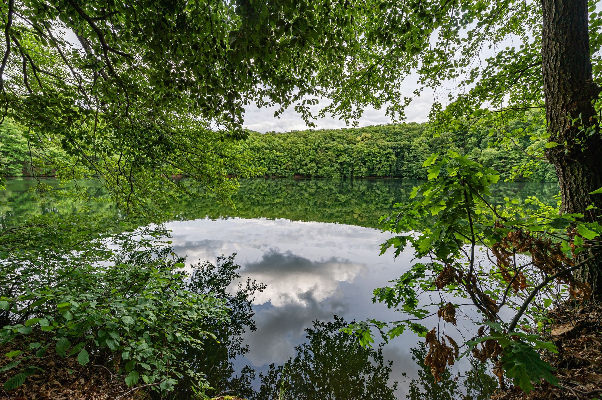
A mixture of spaciousness, meditative silence and the imposing Hessische Kegelspiel awaits us on the bowling path - a uniqueness of the front Rhön.
- Difficoltà
-
intermedio
- Valutazione
-
- Percorso
-
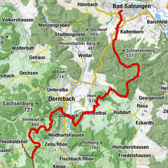
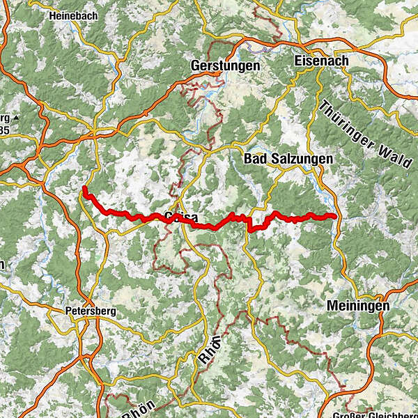
Neukirchen0,1 kmSt. Michael0,4 kmOberstoppel3,3 kmSteinbach6,5 kmSt. Matthäus6,7 kmMalges11,8 kmStendorf14,1 kmRasdorf21,3 kmGemeinschaftsprojekt der Auszubildenden der Firma Wiegand21,3 kmKreuzweg von Point Alpha23,8 kmAm Siebenborn25,1 kmGeisa26,6 kmAm Eppersberg41,3 kmUnteralba42,1 kmSt. Peter und Paul42,8 kmDermbach43,1 kmDreieinigkeitskirche43,1 kmKapelle43,6 kmBodenmühle44,2 kmPillersmühle45,1 kmGlattbach46,3 kmWiesenthal49,4 kmBernshausen54,1 kmRosa58,8 kmGeorgenzell60,1 kmHelmers63,4 kmWernshausen67,9 km
- La stagione migliore
-
genfebmaraprmaggiulugagosetottnovdic
- Punto più alto
- 659 m
- Destinazione
-
Wernshausen
- Profilo altimetrico
-
 © outdooractive.com
-

-
AutoreIl tour Kegelspielweg HWO1 - Haunetal > Wernshausen - Rhön è utilizzato da outdooractive.com fornito.
GPS Downloads


Info generali
Punto di ristoro
Culturale/Storico
Promettente
Altri tour nelle regioni
-
Die Rhön / Thüringen
828
-
Hessisches Kegelspiel
278
-
Geisa
55