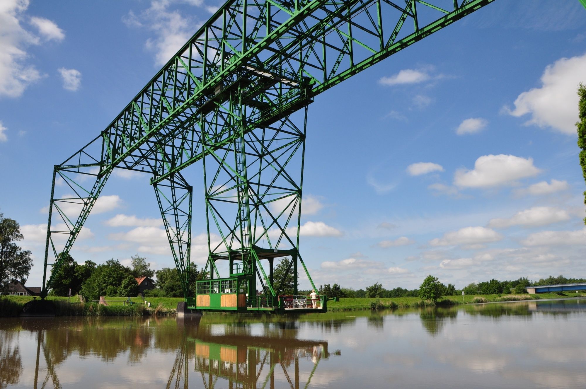
© Wandermagazin - N. Glatter

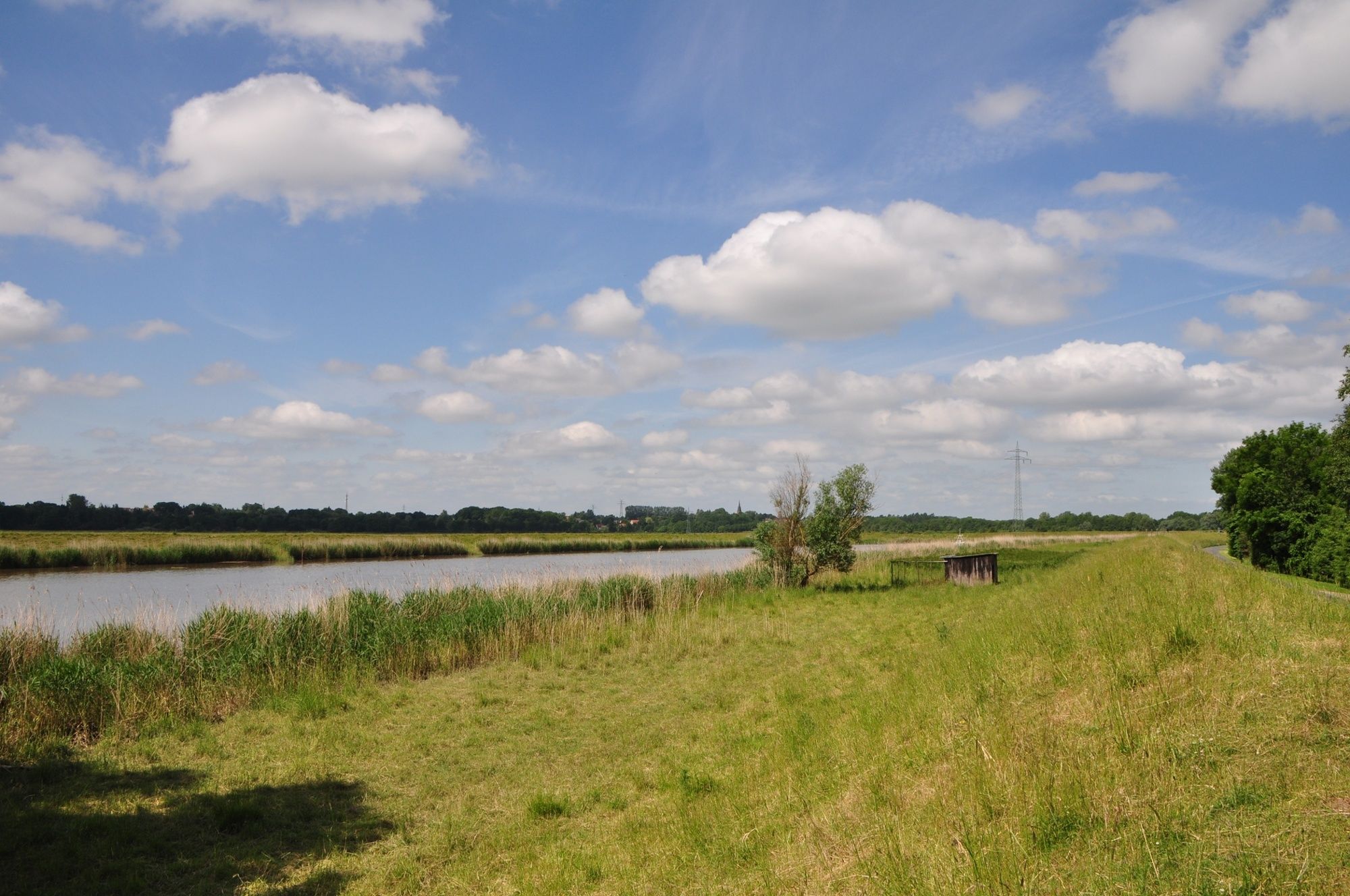
© Wandermagazin - N. Glatter
- Descrizione rapida
-
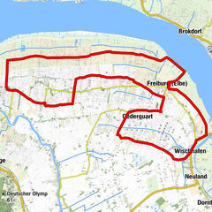
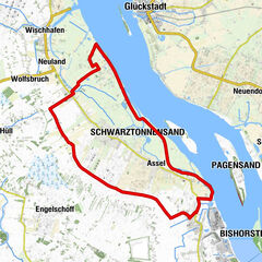
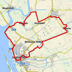
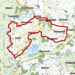
Die Oste- Route kann man als Ganzes erfahren oder in zwei Teilstrecken. Zum landschaftlichen Erlebnis des Landes an der Oste kommen die beschaulichen Dörfer und Höfe am Weg.
- Difficoltà
-
facile
- Valutazione
-
- Percorso
-
Osten0,1 kmSt. Petri Kirche0,2 kmRadler - Rast am Niederkögt14,2 kmZollbaum20,4 kmOberndorf27,6 kmAchthöfener Deich31,6 kmOsten35,0 km
- La stagione migliore
-
genfebmaraprmaggiulugagosetottnovdic
- Punto più alto
- 4 m
- Destinazione
-
Osten
- Autore
-
Il tour Cuxland XIII - Oste-Route è utilizzato da outdooractive.com fornito.
GPS Downloads


Info generali
Punto di ristoro
Culturale/Storico
Altri tour nelle regioni
-
Nordsee-Elbe-Weser
47
-
Wilstermarsch
16
-
Hemmoor
13