© Engadin Samnaun Val Müstair - Claudio von Planta for Art Stations Foundation Switzerland

© Andrea Badrutt, Chur

© Andrea Badrutt

© Engadin Samnaun Val Müstair - Andrea Badrutt, Chur

- Descrizione rapida
-
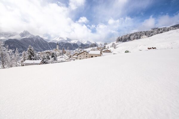
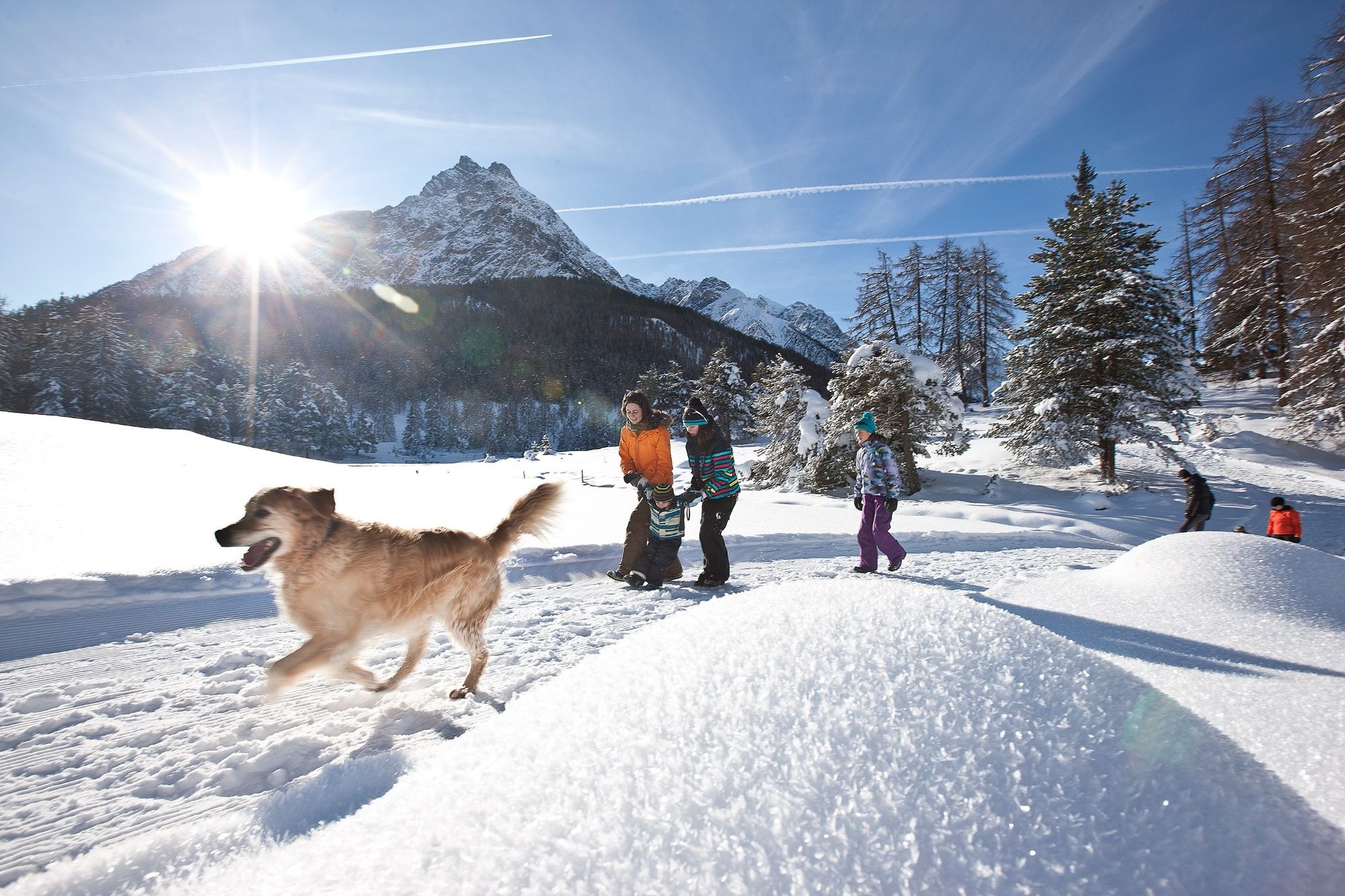
Easy hike along the Inn, across the snowy plains towards Zernez.
- Difficoltà
-
facile
- Valutazione
-
- Percorso
-
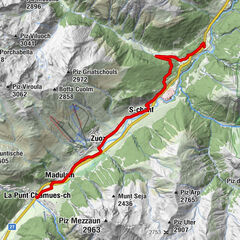
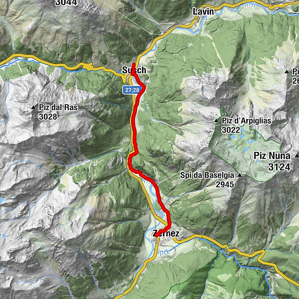
Susch (1.435 m)Susch (1.438 m)0,3 kmCrusch Salet1,0 kmGüstizia2,8 kmChasuot4,5 kmReformierte Kirche Zernez6,7 kmZernez (1.474 m)7,0 kmSan Antonius7,3 kmZernez (1.471 m)7,4 km
- La stagione migliore
-
agosetottnovdicgenfebmaraprmaggiulug
- Punto più alto
- 1.491 m
- Destinazione
-
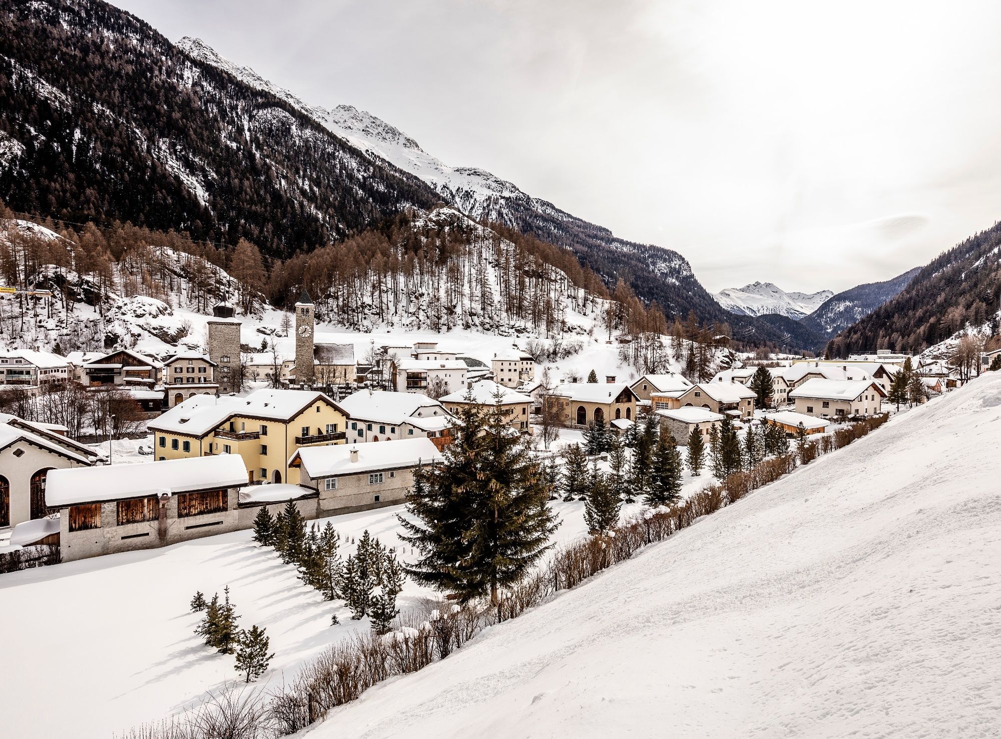
Zernez railway station
- Profilo altimetrico
-
 © outdooractive.com
- Autore
-
Il tour Susch – La Fuorcha – Zernez è utilizzato da outdooractive.com fornito.
GPS Downloads


Info generali
Punto di ristoro
Altri tour nelle regioni
-
Engadin Scuol Zernez
109
-
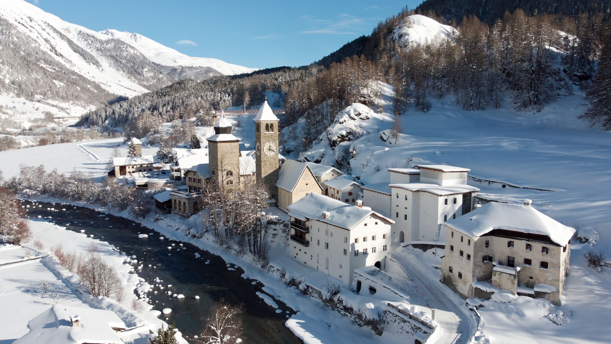
Zernez
20