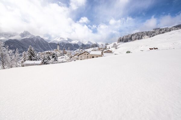
© Engadin Samnaun Val Müstair - Andrea Badrutt, Chur

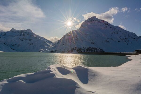
© Engadin Samnaun Val Müstair - Andrea Badrutt, Chur

© Engadin Samnaun Val Müstair - Andrea Badrutt, Chur.

- Descrizione rapida
-
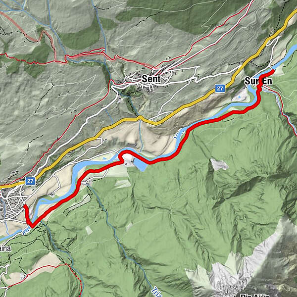
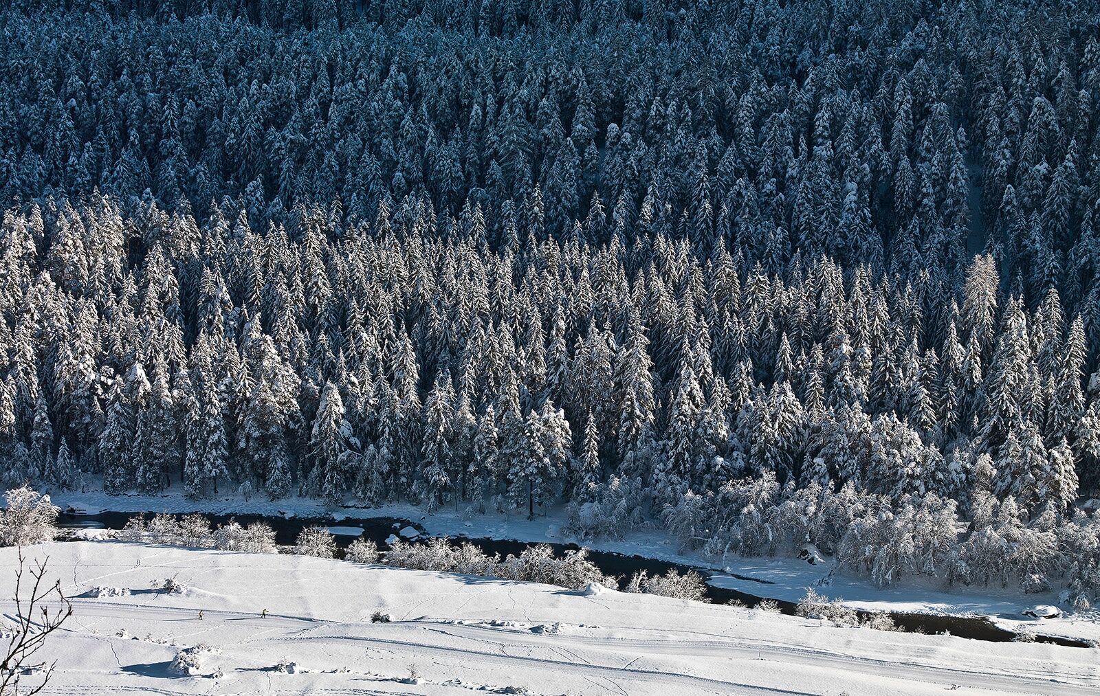
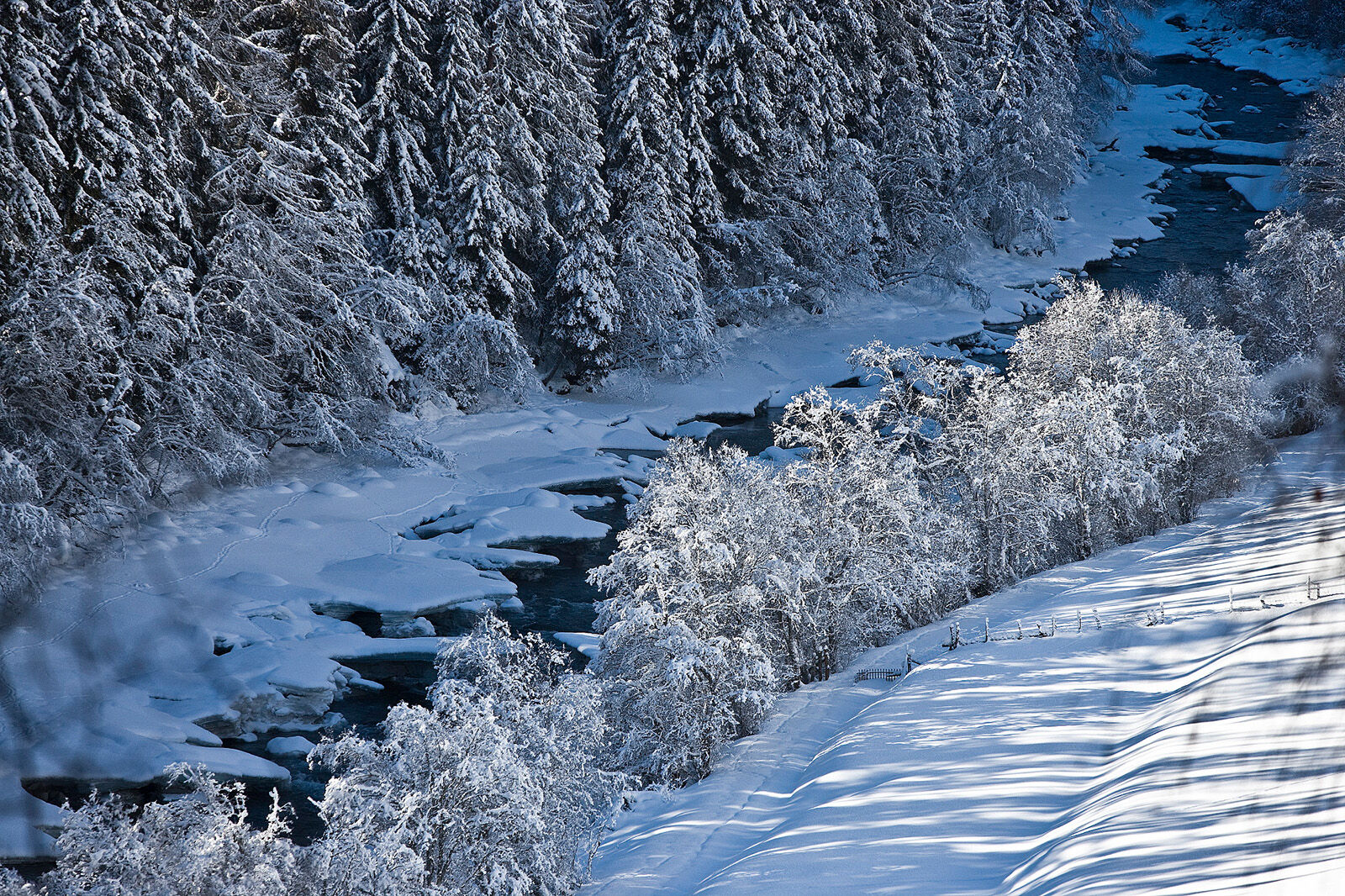
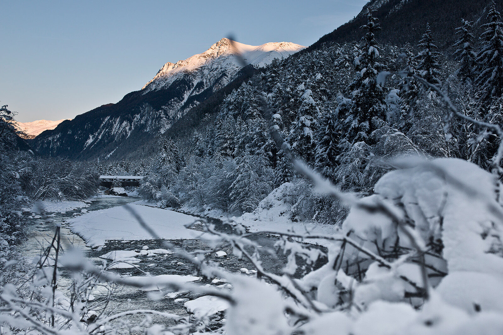
Flat, easy hike along the cross-country ski trail and the Inn. To Pradella over open terrain and then in the forest to Sur En.
- Difficoltà
-
facile
- Valutazione
-
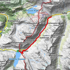
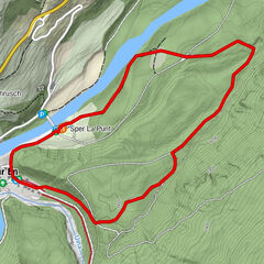
- Percorso
-
Pradella1,7 kmSur En (1.255 m)5,9 kmVal d'Unia5,9 kmSper La Punt6,3 km
- La stagione migliore
-
agosetottnovdicgenfebmaraprmaggiulug
- Punto più alto
- 1.197 m
- Destinazione
-
PostBus stop Sent, Sur En
- Profilo altimetrico
-
 © outdooractive.com
- Autore
-
Il tour Scuol – Sur En è utilizzato da outdooractive.com fornito.
GPS Downloads


Info generali
Punto di ristoro
Altri tour nelle regioni
-
Vinschgau
54
-
Engadin Scuol Zernez
109
-
Sent
34