© NIVEA Wandertour/Randonnées NIVEA - Schweizer Wanderwege/Suisse Rando
© NIVEA Wandertour/Randonnées NIVEA - Schweizer Wanderwege/Suisse Rando
© NIVEA Wandertour/Randonnées NIVEA - Schweizer Wanderwege/Suisse Rando

- Descrizione rapida
-
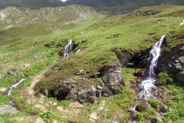
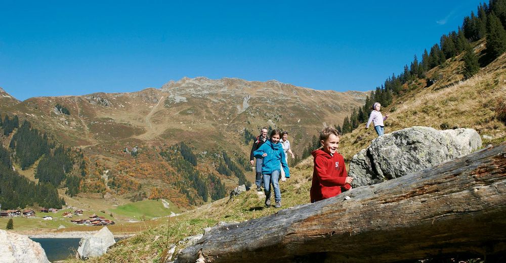
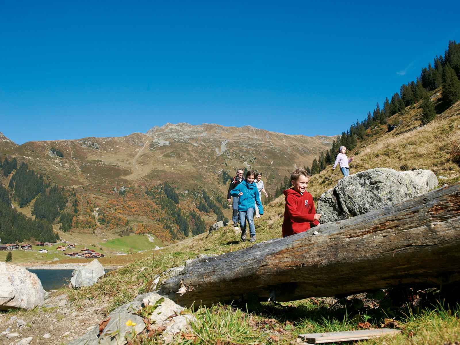
Wasserzauber im Land der Walser
- Difficoltà
-
intermedio
- Valutazione
-
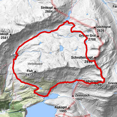
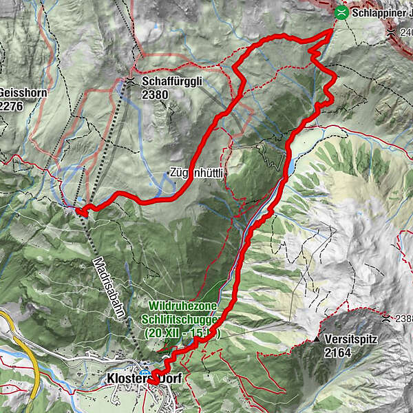
- Percorso
-
Bergrestaurant Madrisa-Alp0,0 kmStn. Madrisa (1.884 m)0,1 kmSchlappin (1.658 m)7,5 kmSchlappin See7,8 kmBerghaus Erika7,8 kmPizzeria Madrisa-Mia12,1 kmKlosters Dorf12,3 km
- La stagione migliore
-
genfebmaraprmaggiulugagosetottnovdic
- Punto più alto
- 2.146 m
- Destinazione
-
Bahnhof von Klosters
- Profilo altimetrico
-
 © outdooractive.com
- Autore
-
Il tour Wanderung Madrisa – Klosters è utilizzato da outdooractive.com fornito.
GPS Downloads


Info generali
Punto di ristoro
Promettente
Altri tour nelle regioni
-
Davos Klosters
930
-
Klosters
224