

© Destination Davos Klosters - Fredi Michel

© Destination Davos Klosters - Fredi Michel

© Destination Davos Klosters - Fredi Michel

© Destination Davos Klosters - Fredi Michel

© Destination Davos Klosters - Fredi Michel

© Destination Davos Klosters - Fredi Michel

© Destination Davos Klosters - Fredi Michel

© Destination Davos Klosters - Fredi Michel

- Descrizione rapida
-
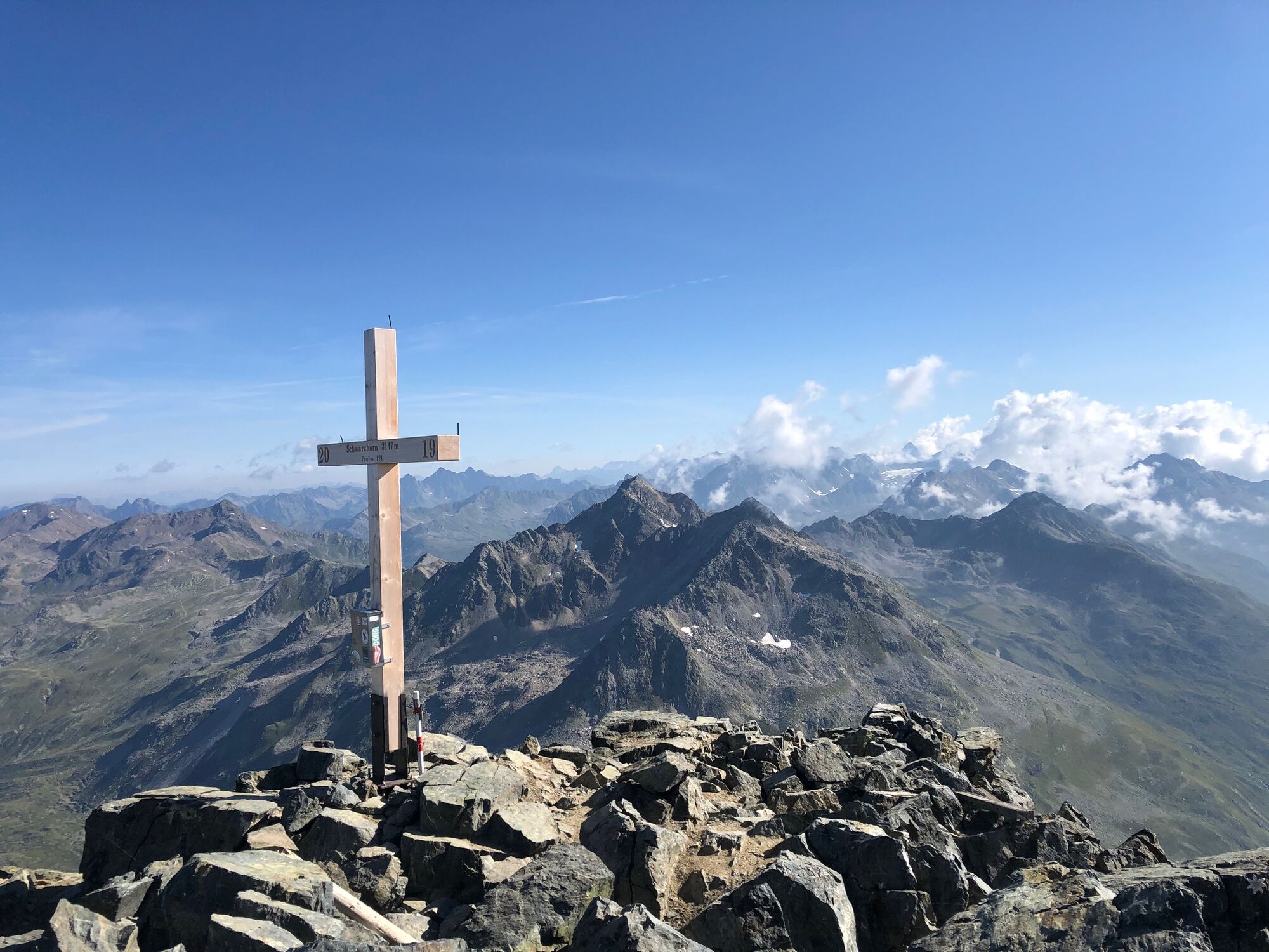
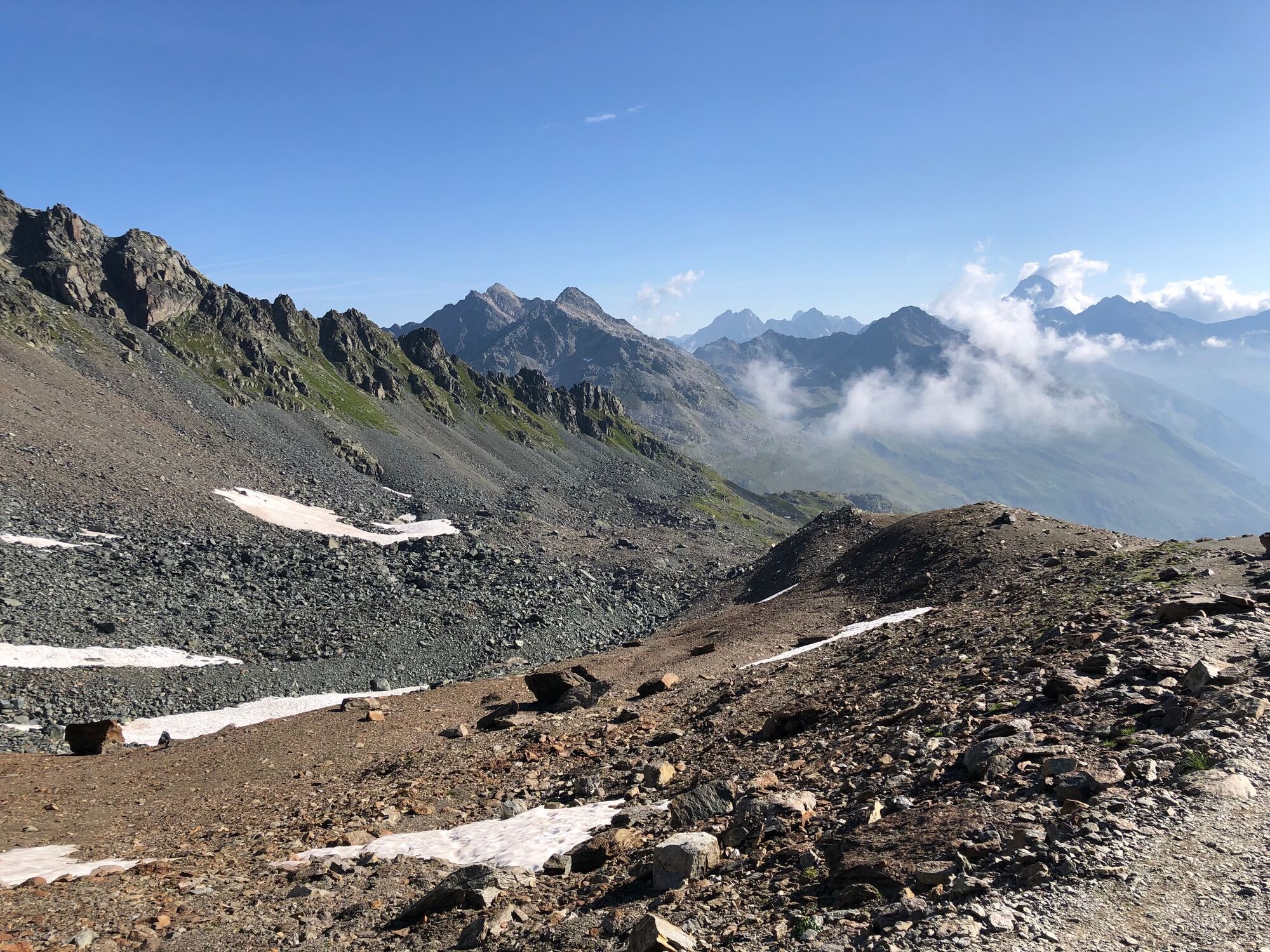
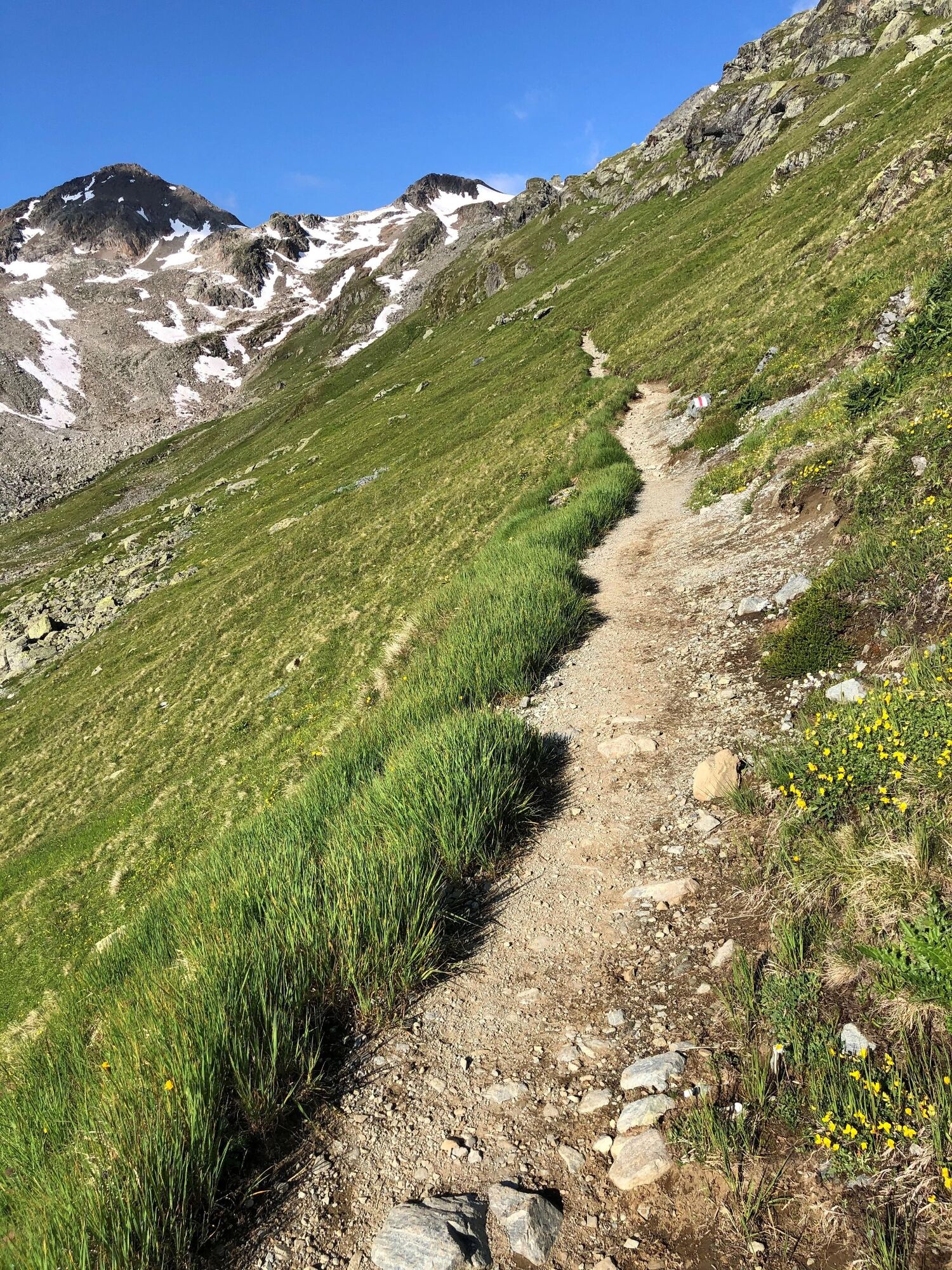
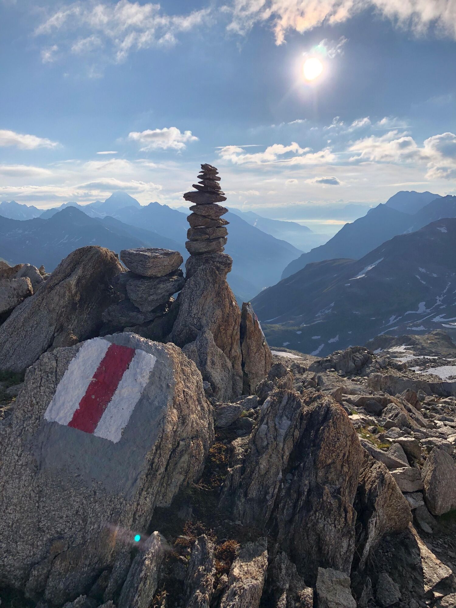
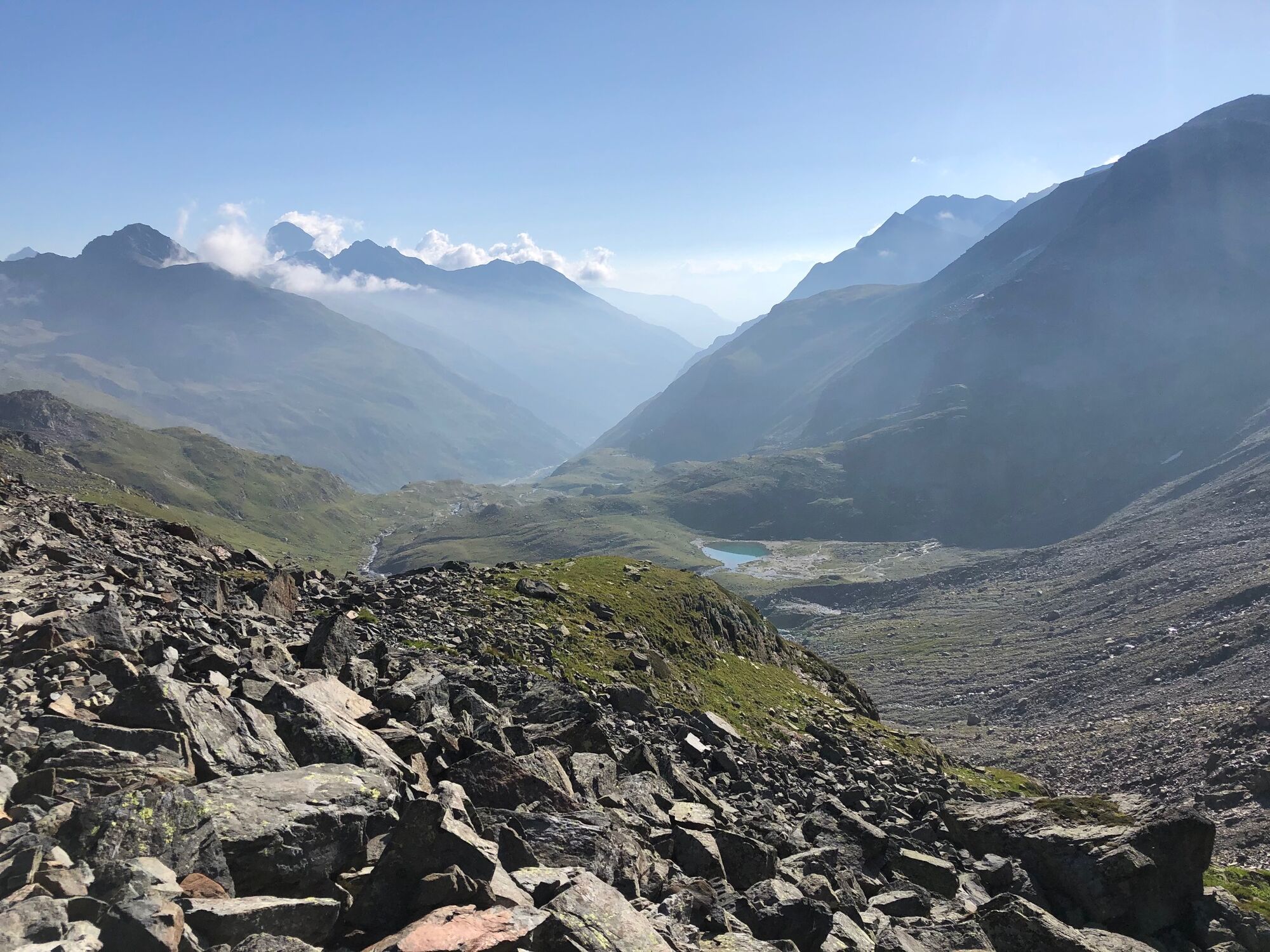
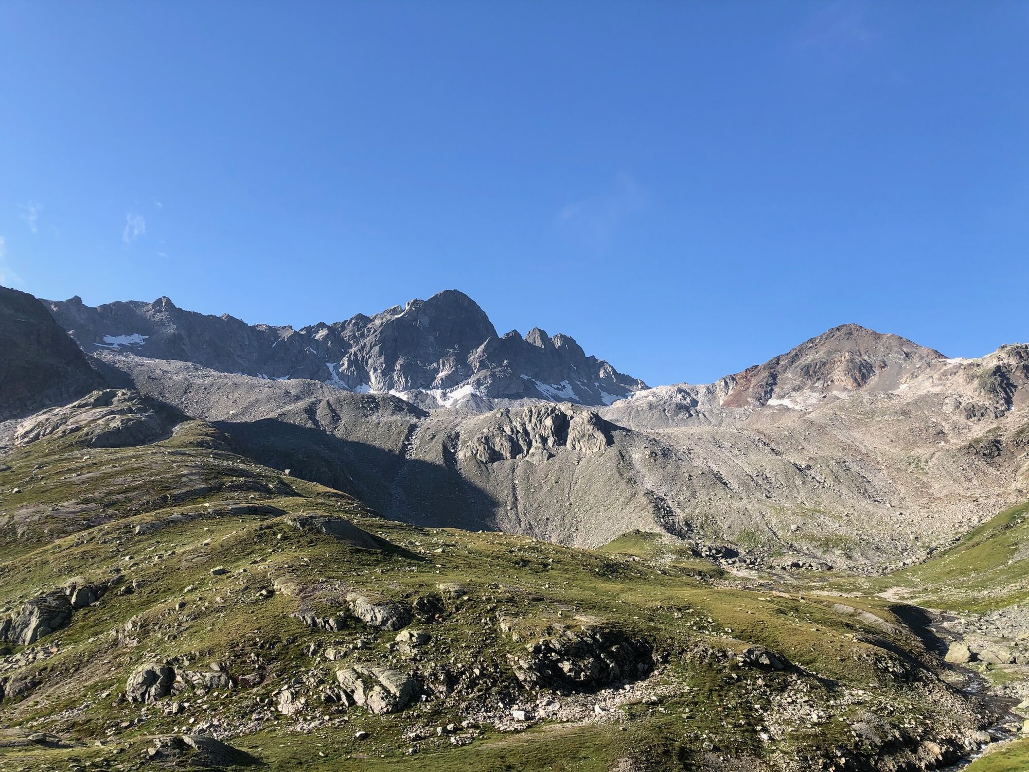
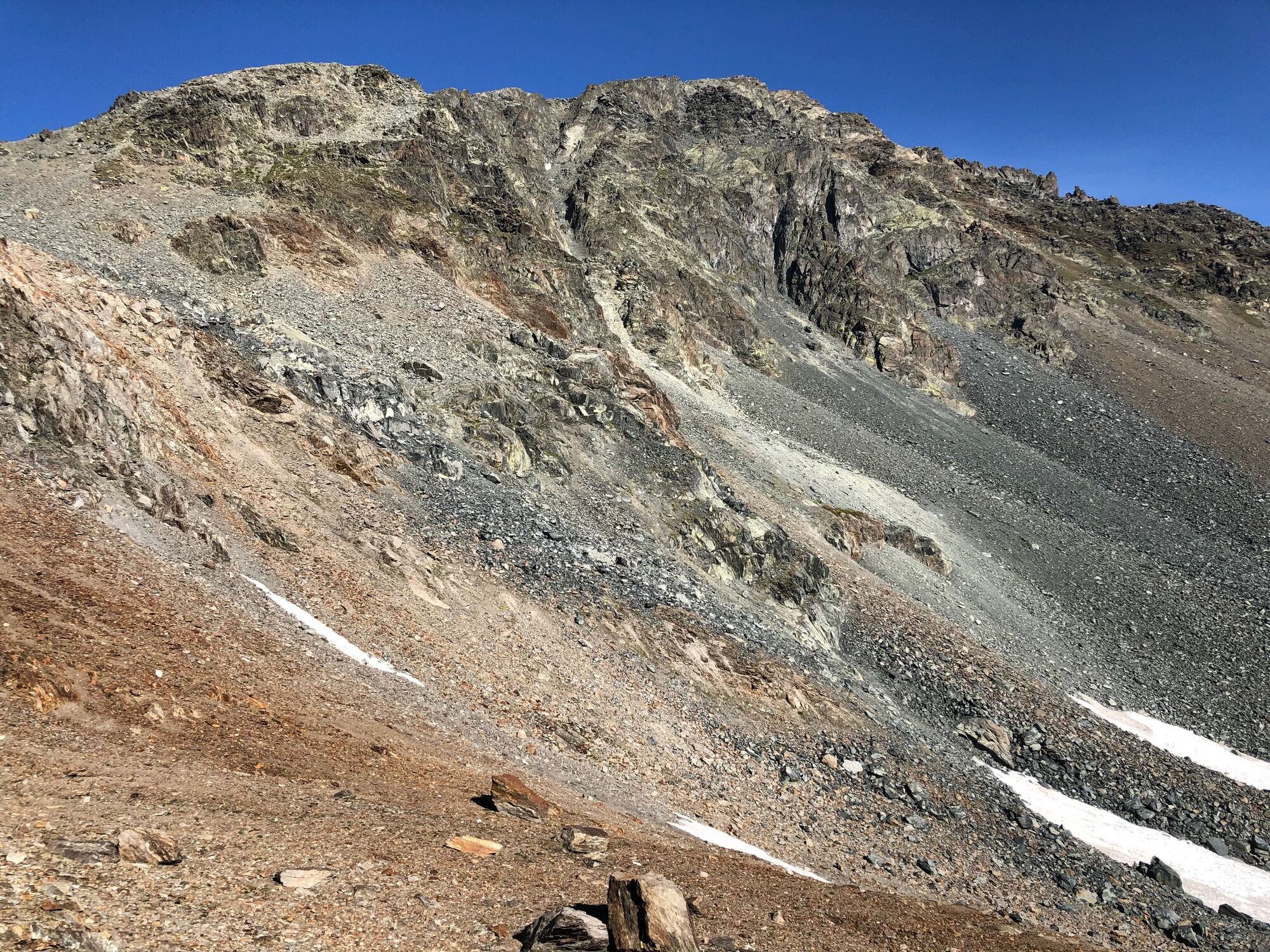
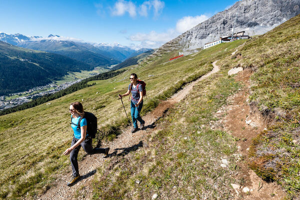
A gentle ascent with a fantastic view – every step of the way up is rewarded with a view of majestic mountain peaks. By clear weather you can see as far as Grossglockner and Mount Blanc.
- Difficoltà
-
intermedio
- Valutazione
-
- Percorso
-
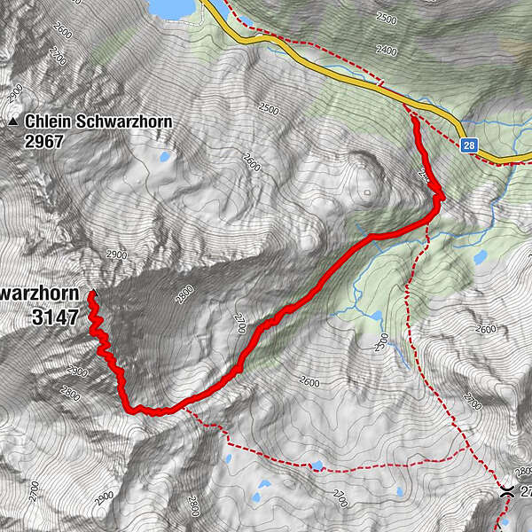
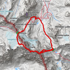
Schwarzhorn (3.147 m)3,8 km
- Punto più alto
- 3.127 m
- Destinazione
-
Flüelapass (Abzweigung Flüela Schwarzhorn)
- Profilo altimetrico
-
 © outdooractive.com
- Autore
-
Il tour 792 Flüela Schwarzhorn è utilizzato da outdooractive.com fornito.
GPS Downloads


Info generali
Flora
Promettente
Altri tour nelle regioni
-
Davos Klosters
927
-
Susch
111


 Lucas Tiefenthaler / Vorarlberg Tourismus")
