
- Descrizione rapida
-
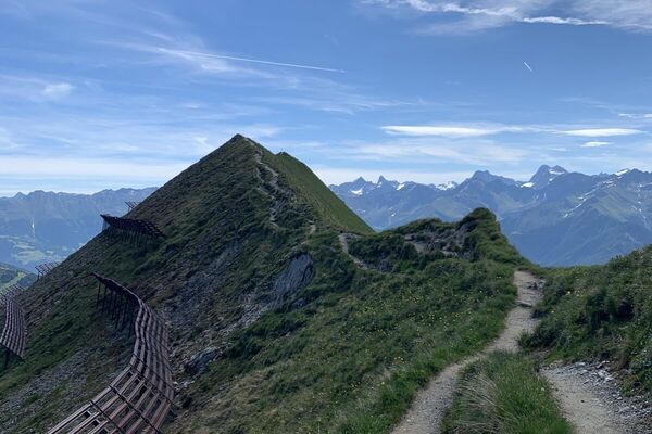
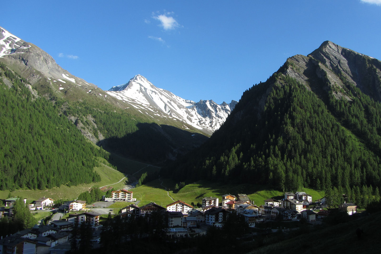
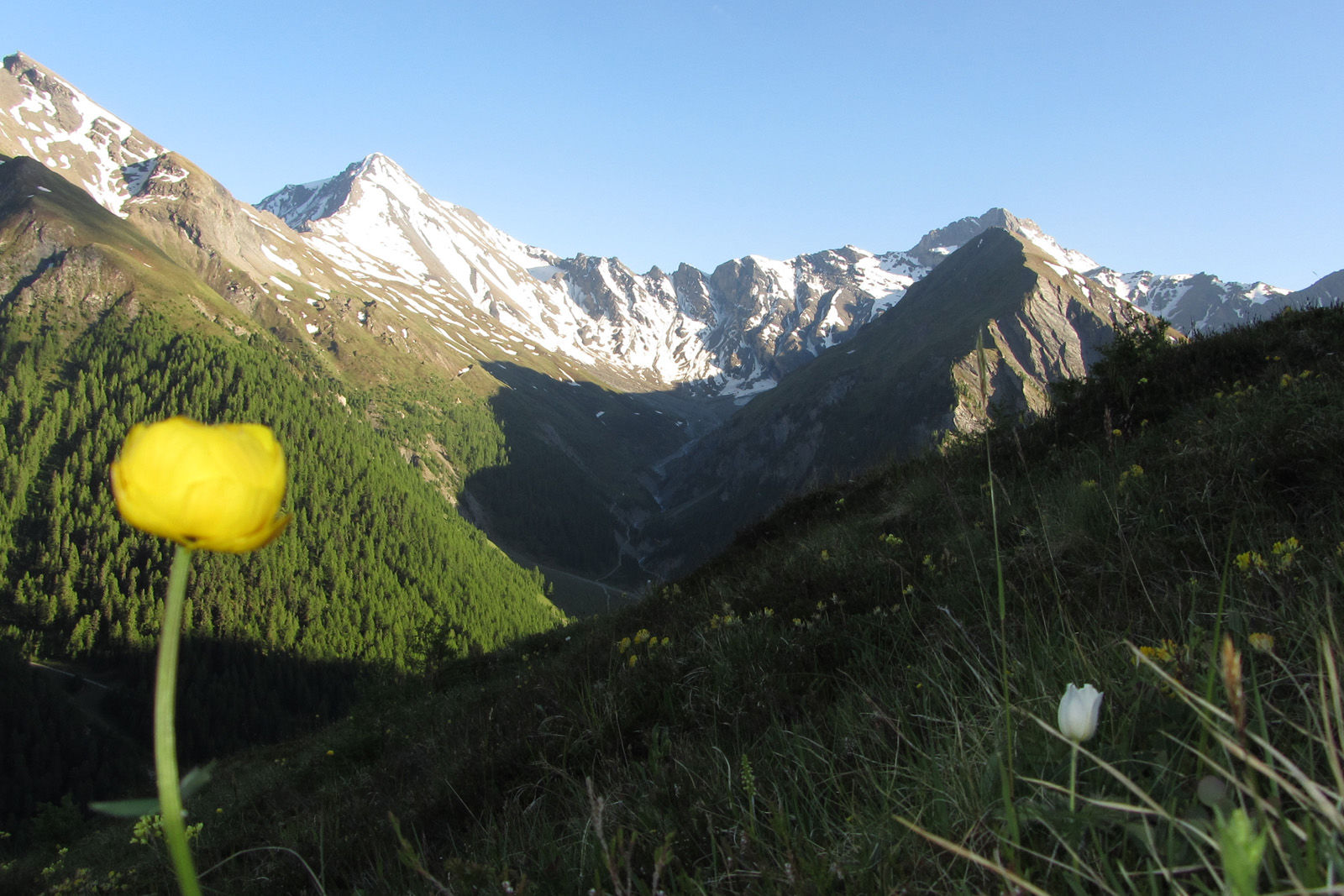
High altitude hike on the sunny side of the Samnaun valley.
- Difficoltà
-
intermedio
- Valutazione
-
- Percorso
-
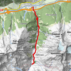
Samnaun (1.846 m)0,4 kmChe d'Mot3,9 kmPlan (1.725 m)6,4 kmLaret (1.731 m)7,0 km
- La stagione migliore
-
genfebmaraprmaggiulugagosetottnovdic
- Punto più alto
- 2.113 m
- Destinazione
-
PostBus stop Samnaun-Laret, West
- Profilo altimetrico
-
 © outdooractive.com
- Autore
-
Il tour Mot Grond and Chè d’Mot è utilizzato da outdooractive.com fornito.
GPS Downloads


Info generali
Promettente