© Sedrun Disentis Tourismus - Heidi Meier

© Sedrun Disentis Tourismus - Heidi Meier

© Sedrun Disentis Tourismus - Heidi Meier

© Sedrun Disentis Tourismus - Heidi Meier

© Sedrun Disentis Tourismus - Heidi Meier

© Sedrun Disentis Tourismus - Heidi Meier

© Sedrun Disentis Tourismus - Heidi Meier
- Descrizione rapida
-
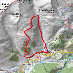
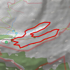
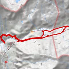
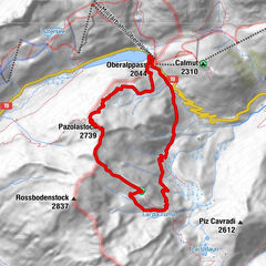
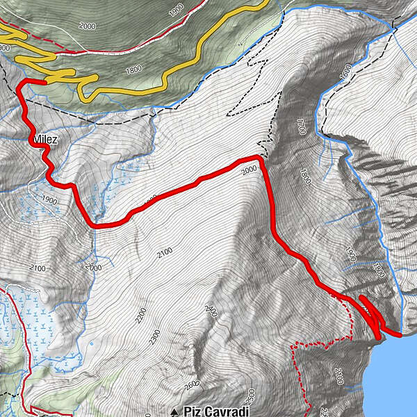
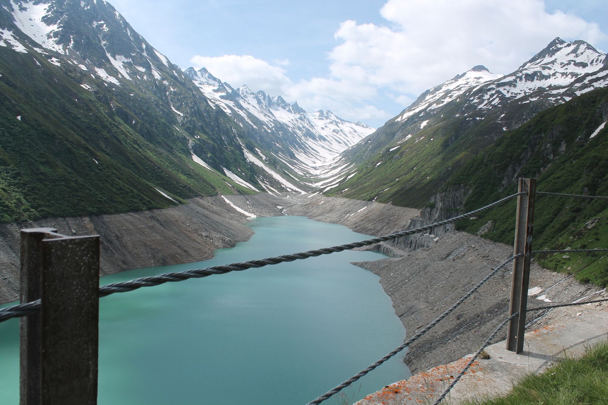
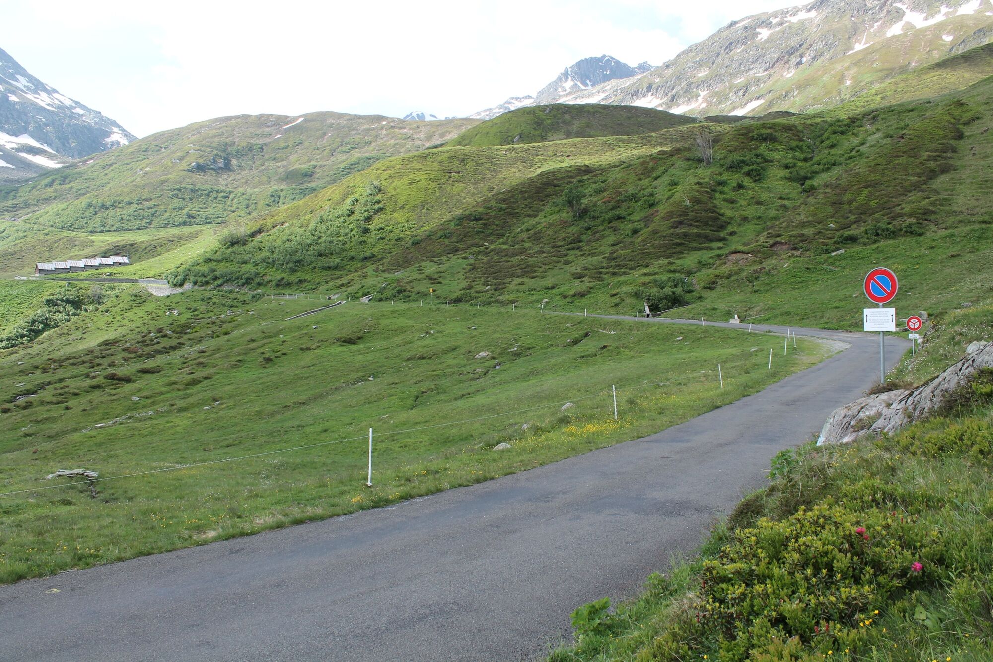
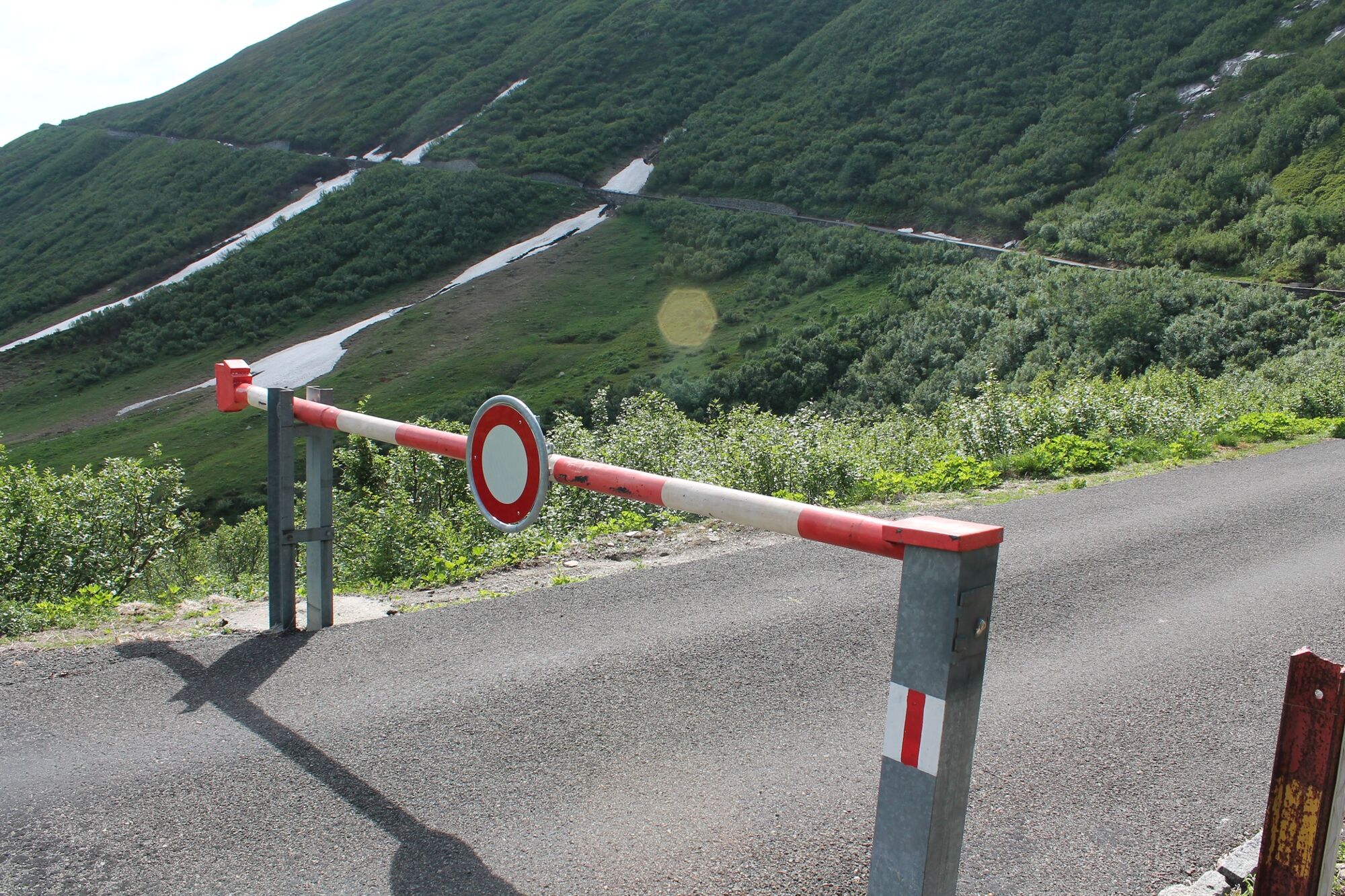
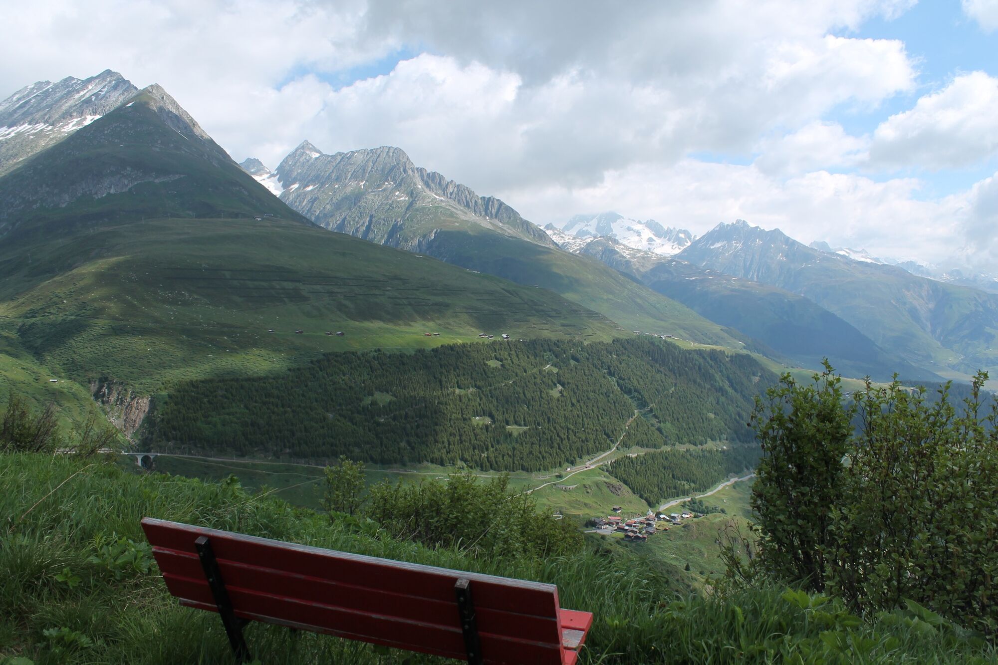
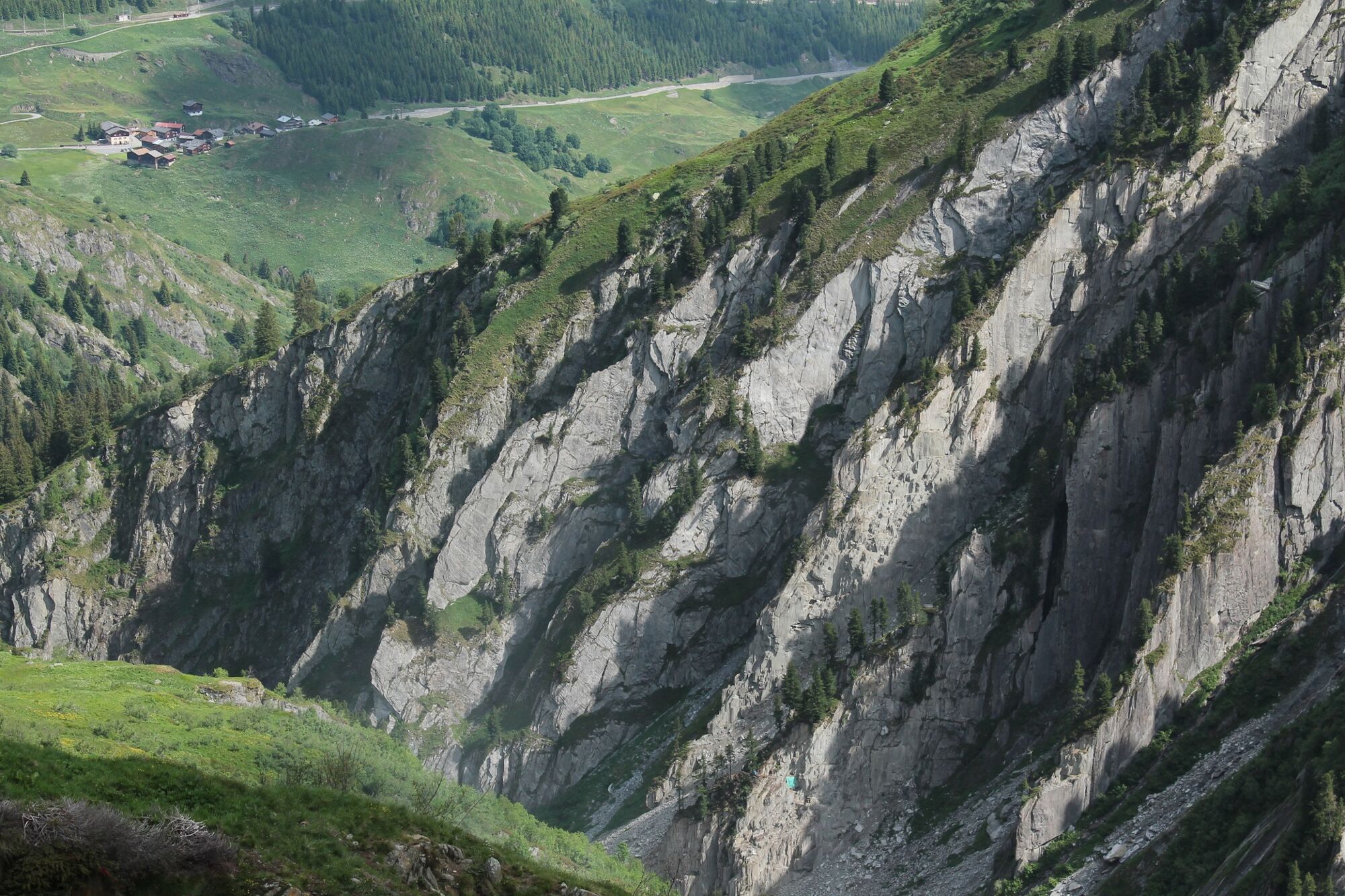
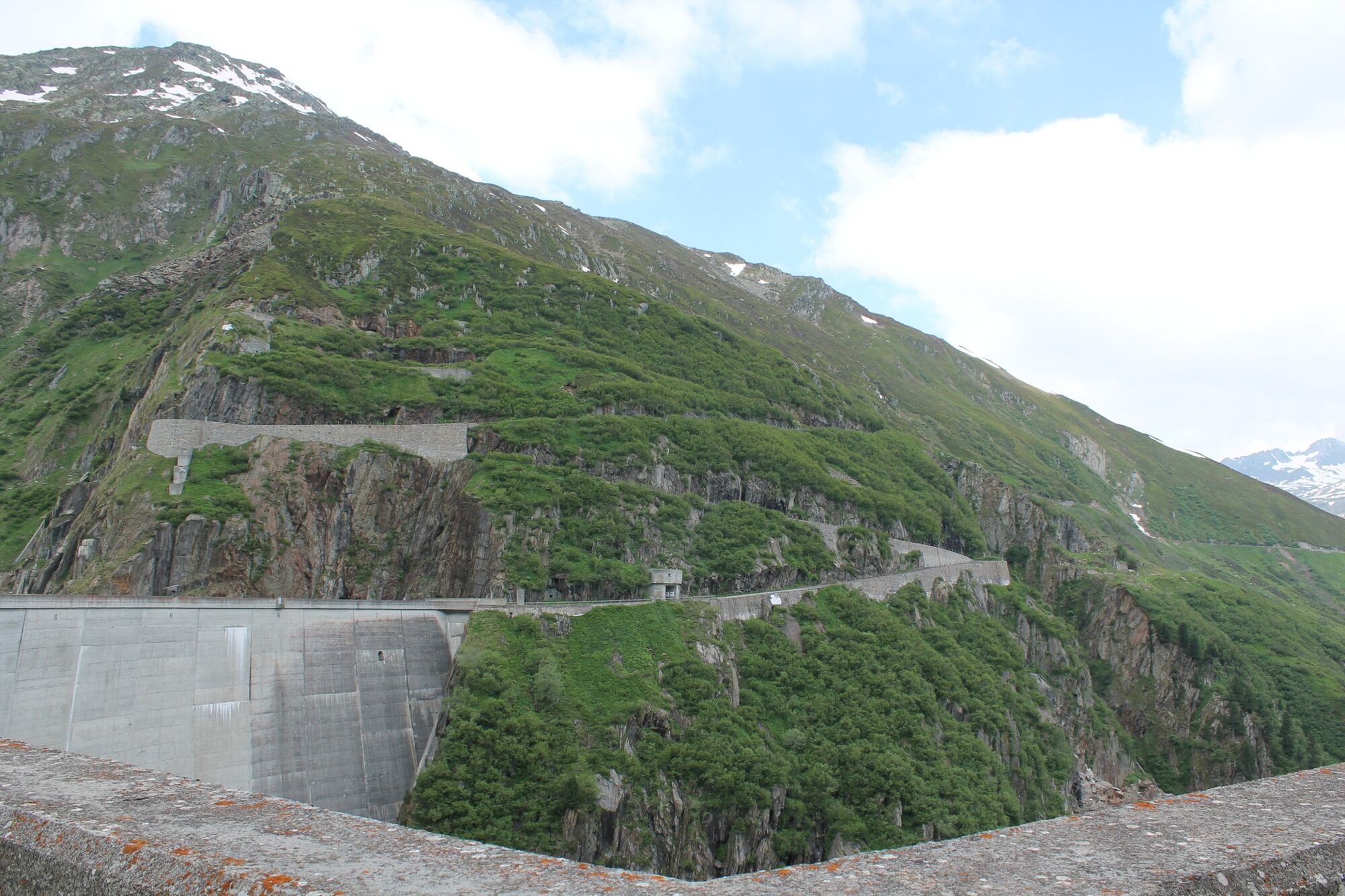
Hike to Val Curnera, where the local radiators extract their precious rock crystals from the rocks. T1
- Difficoltà
-
facile
- Valutazione
-
- Percorso
-
Milez0,7 kmMilez8,5 km
- La stagione migliore
-
genfebmaraprmaggiulugagosetottnovdic
- Punto più alto
- 2.036 m
- Destinazione
-
Curnera Staumauer
- Profilo altimetrico
-
 © outdooractive.com

-

-
AutoreIl tour With stroller to the reservoir Curnera è utilizzato da outdooractive.com fornito.
GPS Downloads


Info generali
Promettente