Dati percorsi
6,48km
1.217
- 1.738m
68hm
589hm
01:35h
- Descrizione rapida
-
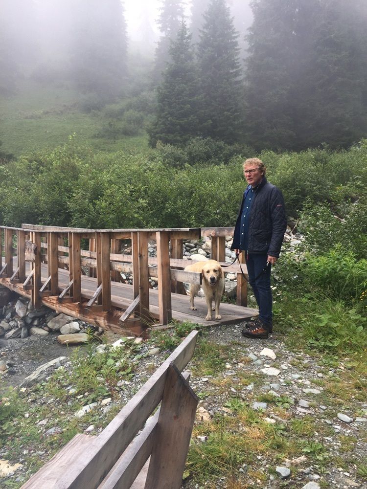
Italiaanse waterhonden jaagde hert op
- Difficoltà
-
intermedio
- Valutazione
-
- Percorso
-
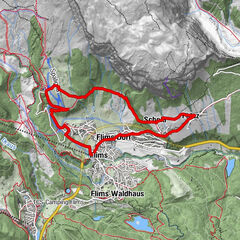
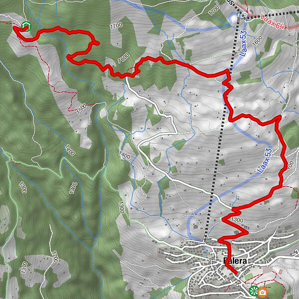
Alp Dadens0,0 kmAlp Dadens sut0,2 kmUstria Aurora6,2 kmUstria Encarna6,4 kmHerz-Jesu-Kirche6,4 kmFalera (1.213 m)6,4 km
- Punto più alto
- 1.738 m
GPS Downloads


Altri tour nelle regioni
-
Glarnerland
1972
-
Ilanz / Glion
678
-
Castrisch
313