© Flims Laax Falera - Jascha Schmid

© Flims Laax Falera - Jascha Schmid

© Flims Laax Falera - Jascha Schmid

© Flims Laax Falera - Jascha Schmid

© Flims Laax Falera - Jascha Schmid

© Flims Laax Falera - Jascha Schmid

© Flims Laax Falera - Jascha Schmid

© Flims Laax Falera - Jascha Schmid

© Outdooractive – 3D Videos
- Descrizione rapida
-
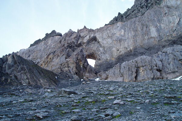
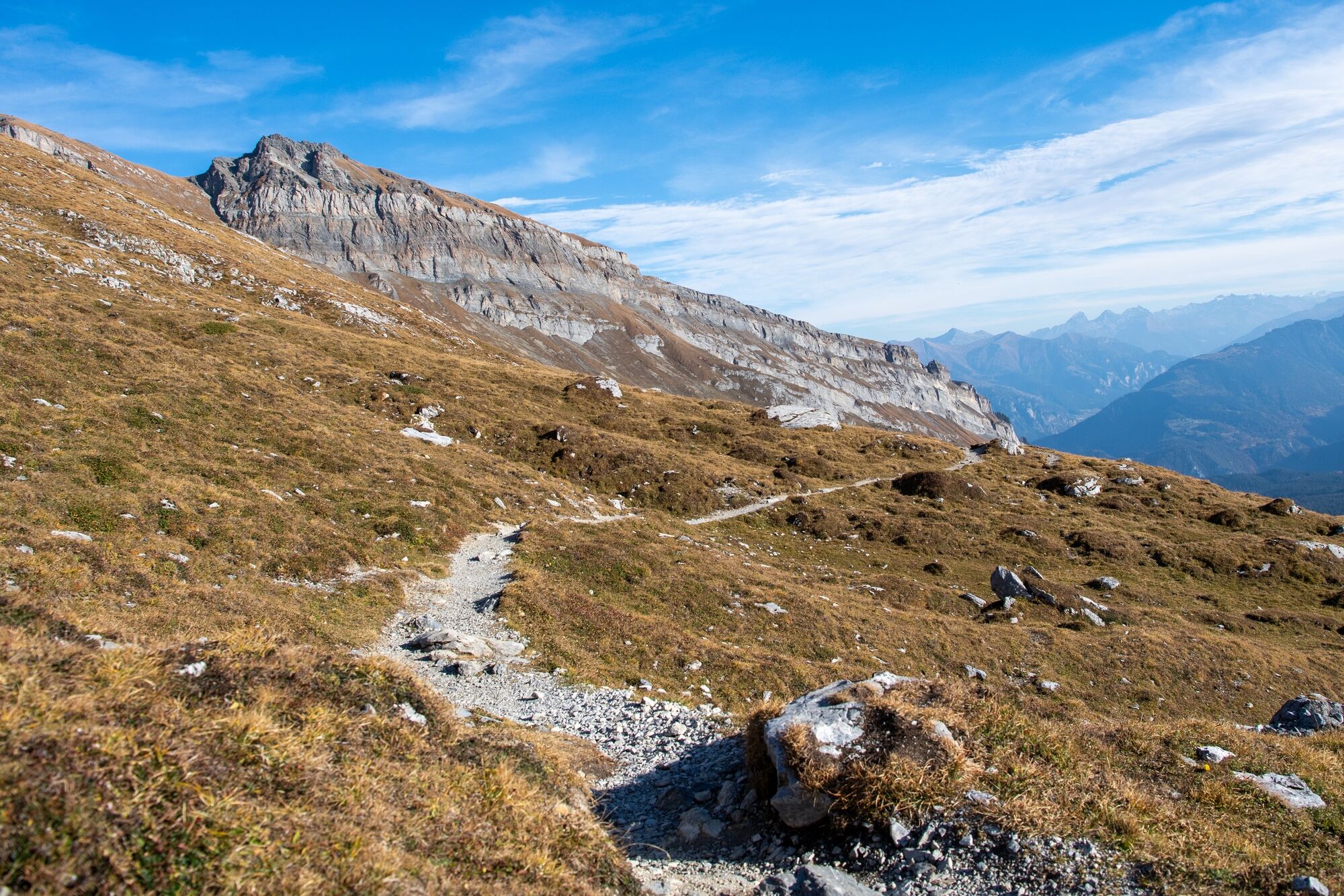
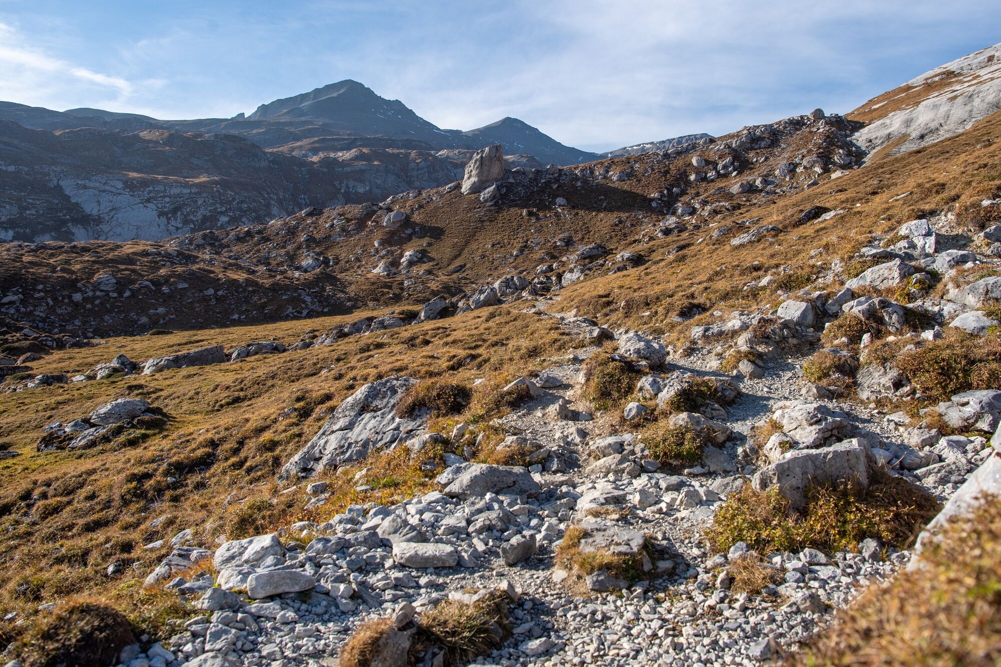
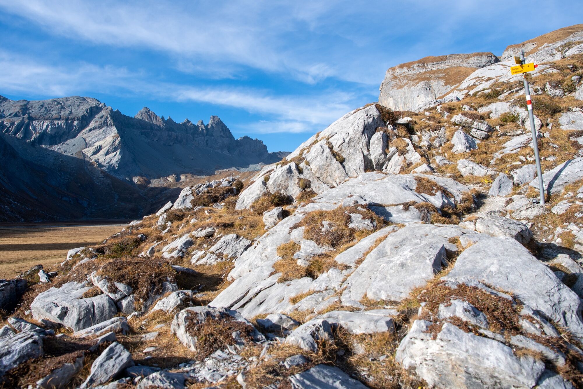
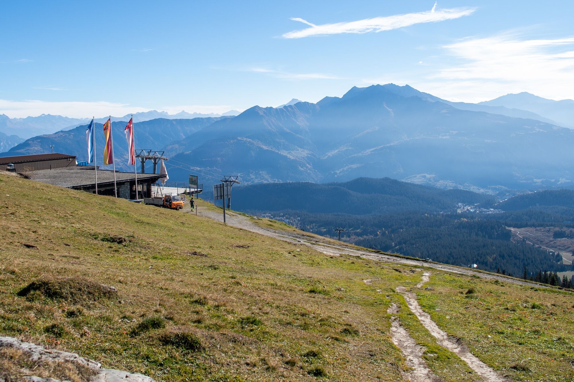
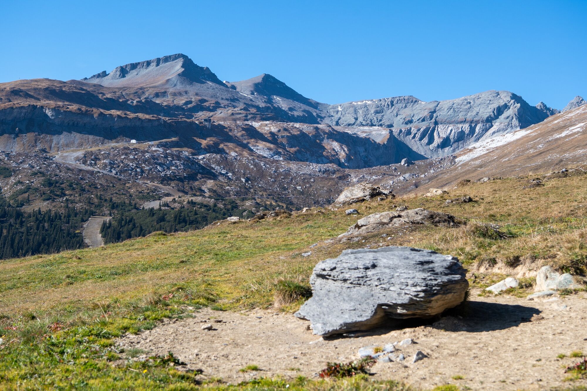
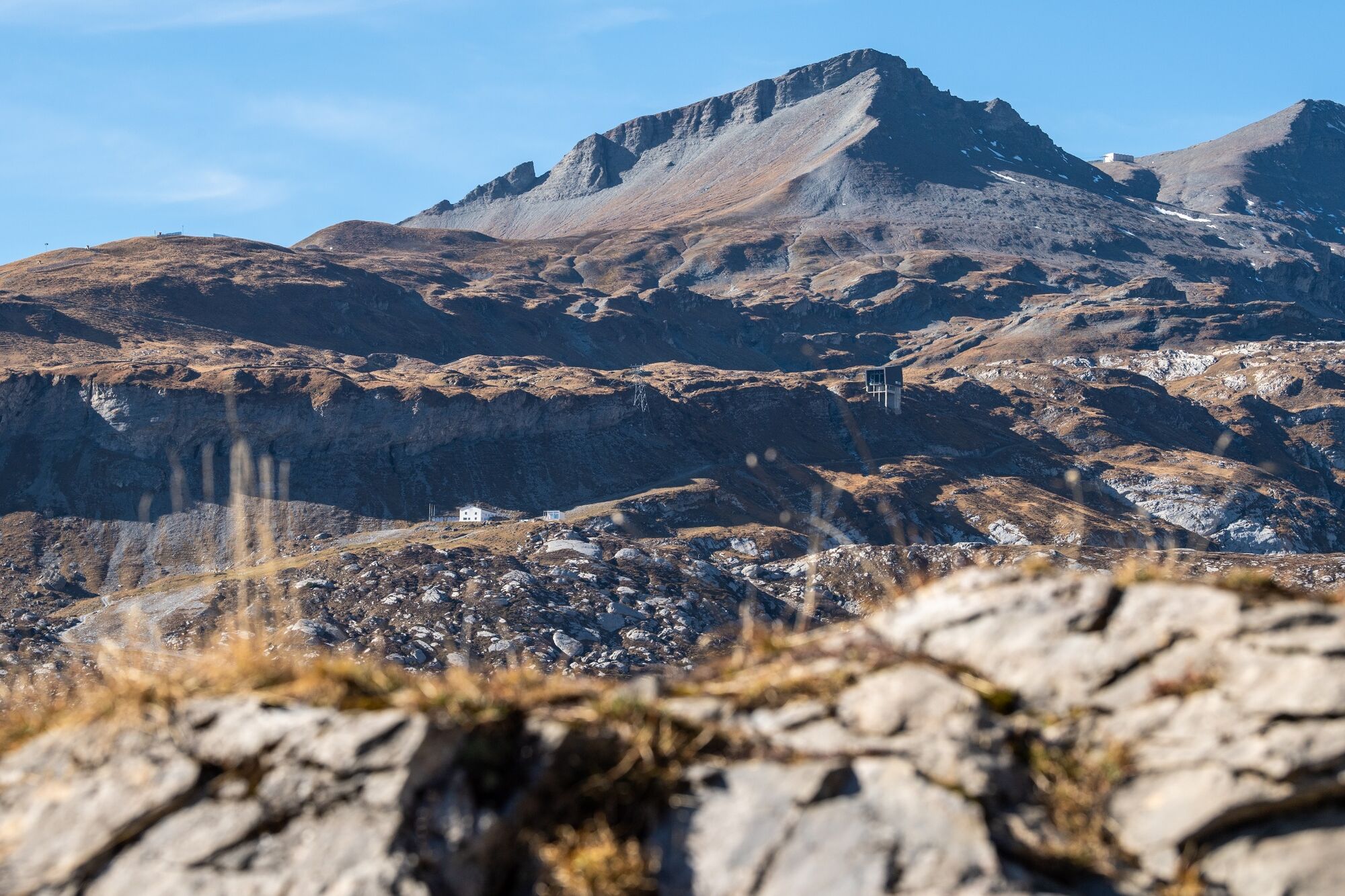
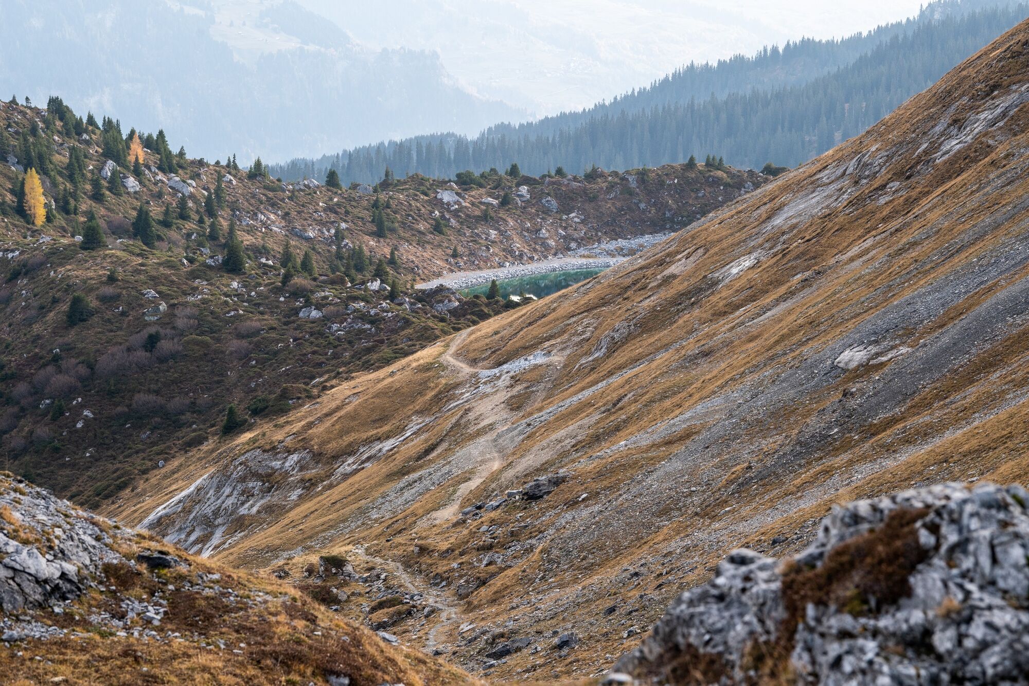
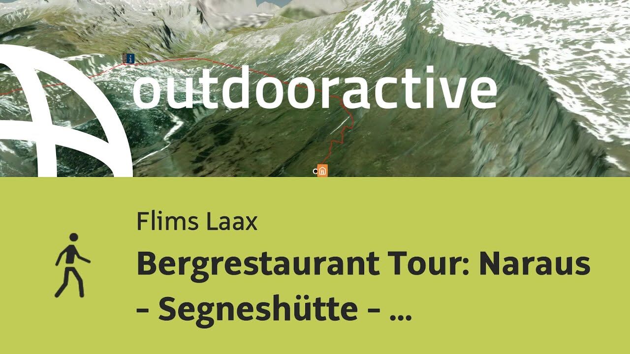
A varied and unique panoramic trail in the middle of the UNESCO World Heritage with a fantastic view of the entire Flims valley.
Refreshments are available at two mountain restaurants.
- Difficoltà
-
intermedio
- Valutazione
-
- Percorso
-
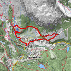
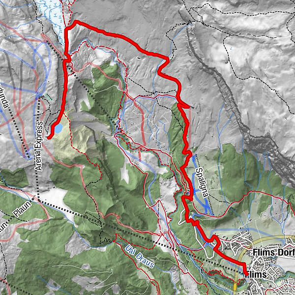
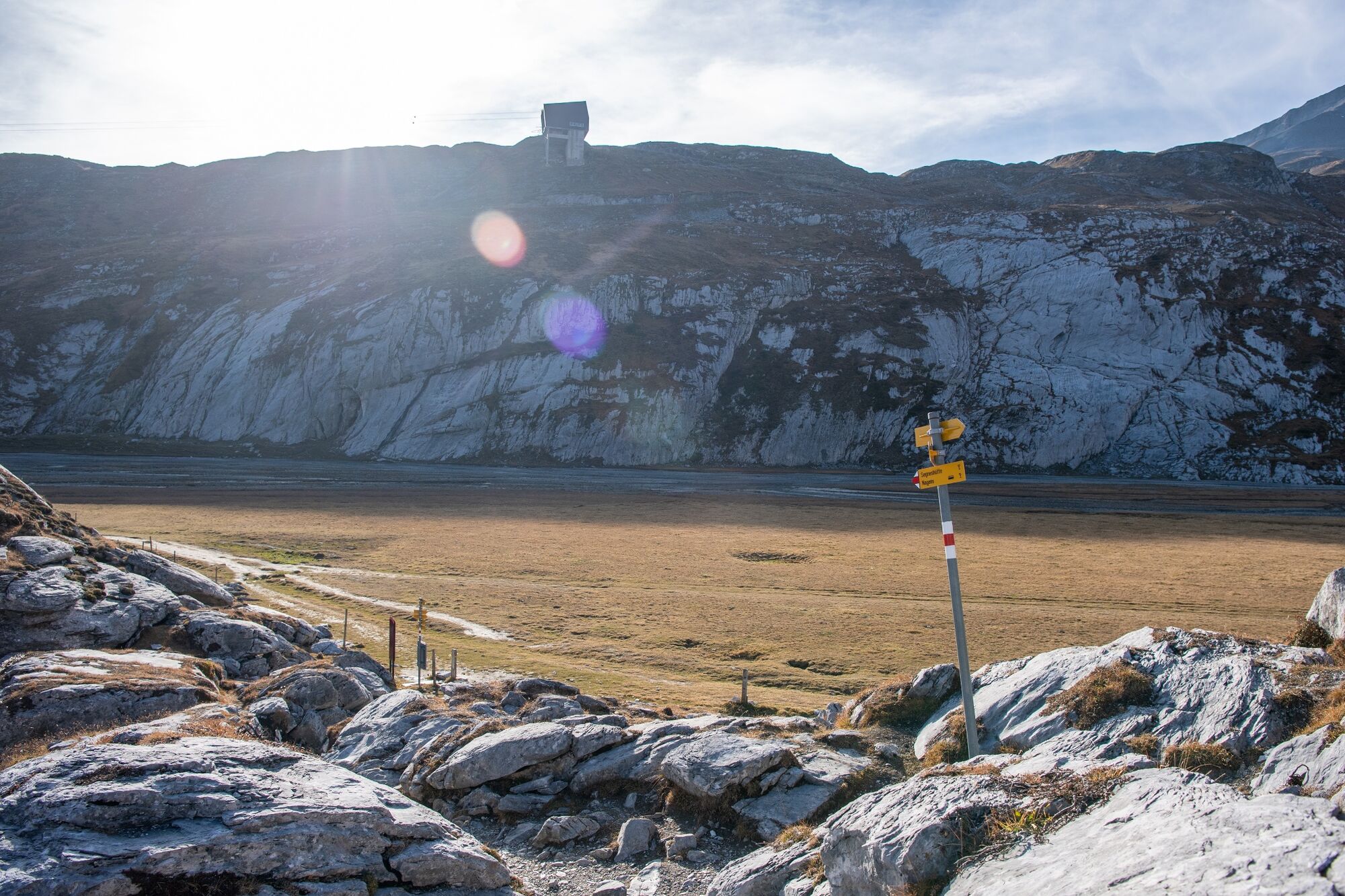
Flims (1.081 m)Foppa (1.424 m)2,5 kmCasa Berendi2,7 kmUstria Naraus5,0 kmSegneshütte9,0 kmStalla10,7 km
- La stagione migliore
-
genfebmaraprmaggiulugagosetottnovdic
- Punto più alto
- 2.100 m
- Destinazione
-
Alp Nagens
- Profilo altimetrico
-
 © outdooractive.com
-

-
AutoreIl tour Höhenweg Naraus - Segneshütte- Alp Nagens è utilizzato da outdooractive.com fornito.
GPS Downloads


Info generali
Punto di ristoro
Promettente
Altri tour nelle regioni
-
Glarnerland
1972
-
Flims Laax Falera
774
-
Castrisch
313