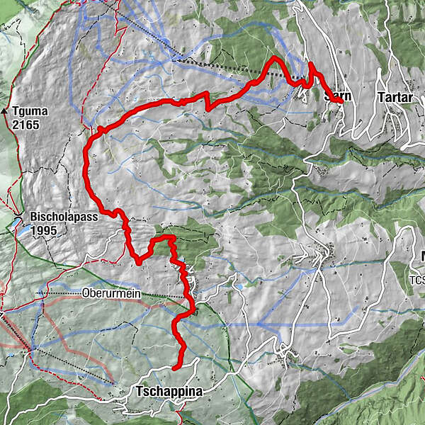
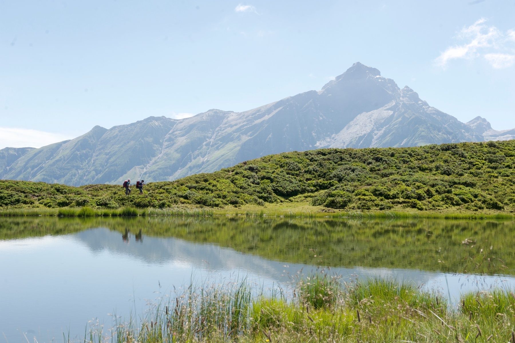
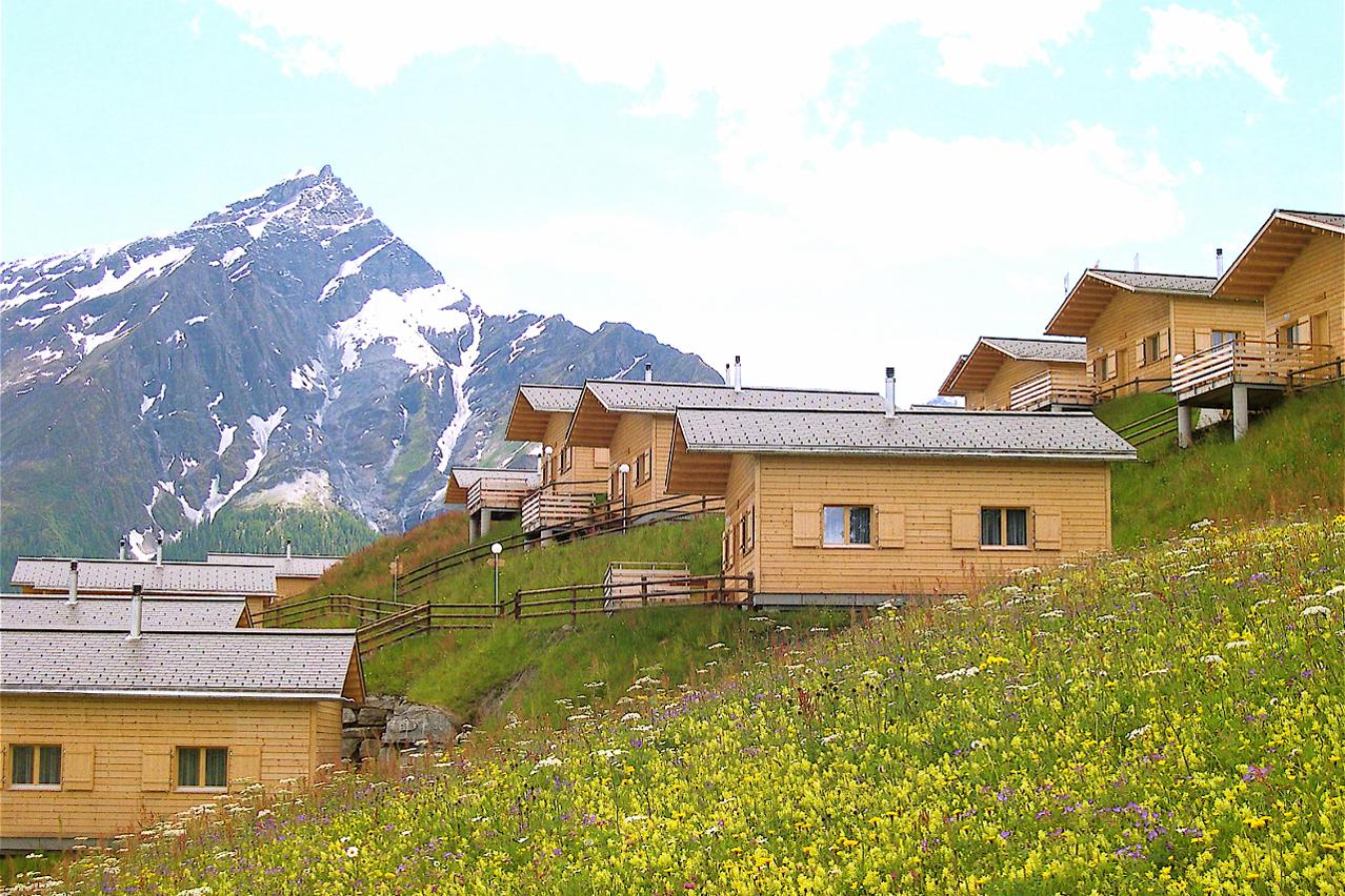
Parsirasrunde (Obertschappina - Parsiras - Sarn)

Escursionismo


- Descrizione rapida
-
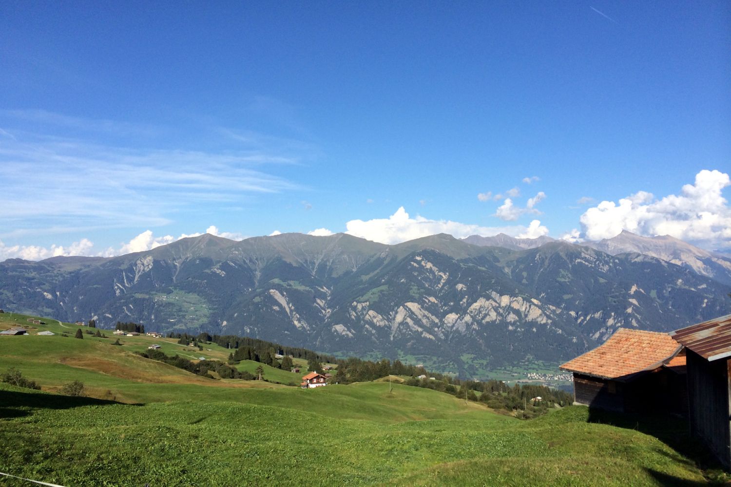
Die leichte Wanderung von Obertschappina über die Heinzenberger Maiensässe nach Sarn.
- Difficoltà
-
intermedio
- Valutazione
-
- Percorso
-
TschappinaSkihütte1,1 kmOberurmein1,4 kmLescha8,5 kmSarn9,5 kmKatholische Kirche Sarn9,5 km
- La stagione migliore
-
genfebmaraprmaggiulugagosetottnovdic
- Punto più alto
- 1.858 m
- Destinazione
-
Sarn, Dorf
- Profilo altimetrico
-
 © outdooractive.com


- Autore
-
Il tour Parsirasrunde (Obertschappina - Parsiras - Sarn) è utilizzato da outdooractive.com fornito.
GPS Downloads


Info generali
Punto di ristoro
Altri tour nelle regioni
-
Glarnerland
1972
-
Safiental
717
-
Cazis
242