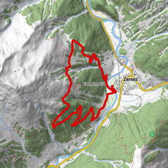
Jakobshorn Bergstation – Brämabüel – Speichersee – Jschalp – Davos Platz

Escursionismo
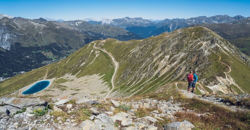
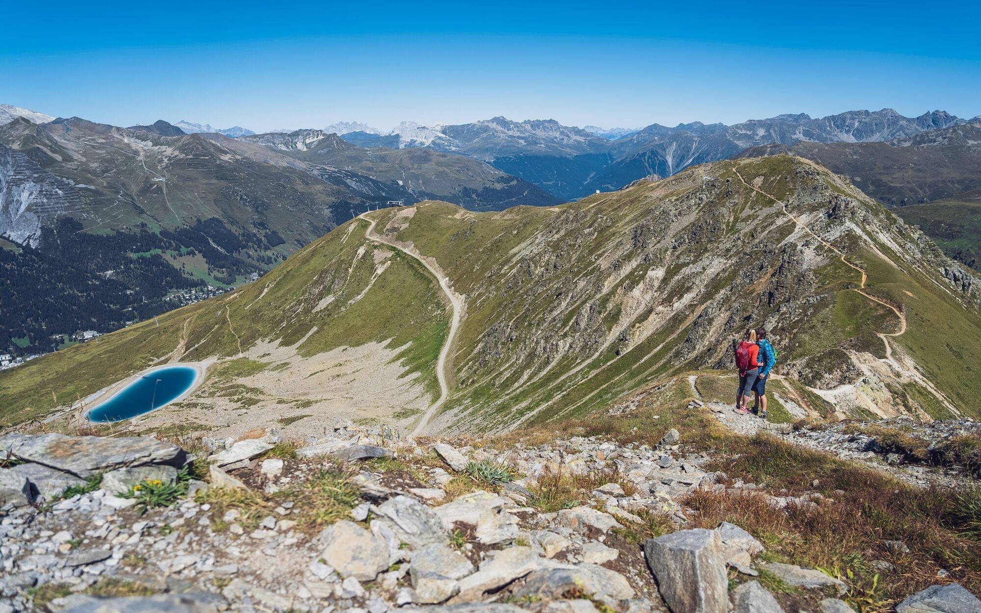
© Davos Klosters Mountains - Jo Hüchelheim


- Descrizione rapida
-
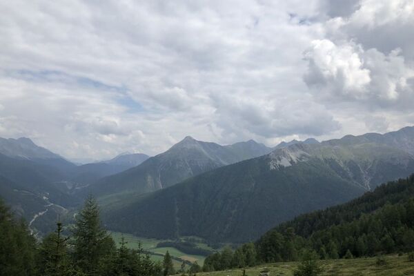
A hike for connoisseurs. On the whole route there is only one short ascent, otherwise the path leads only downhill. But the view on this hike is magnificent!
- Difficoltà
-
intermedio
- Valutazione
-
- Percorso
-
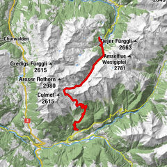
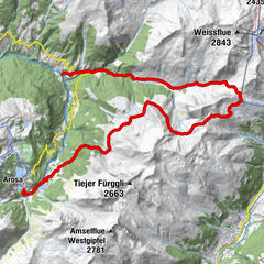
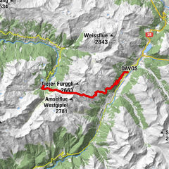
Jakobshorn (Clavadelerberg)0,0 kmJakobshorn (2.590 m)0,1 kmBrämabüel (2.492 m)1,2 kmBräma Jet (2.492 m)1,2 kmJschalp4,8 kmDavos (1.560 m)7,5 km
- La stagione migliore
-
genfebmaraprmaggiulugagosetottnovdic
- Punto più alto
- 2.563 m
- Destinazione
-
Bolgenplaza, Davos Platz
- Profilo altimetrico
-
 © outdooractive.com
- Autore
-
Il tour Jakobshorn Bergstation – Brämabüel – Speichersee – Jschalp – Davos Platz è utilizzato da outdooractive.com fornito.
GPS Downloads


Info generali
Punto di ristoro
Promettente
Altri tour nelle regioni
-
Davos Klosters
927
-
Davos
197