
- Descrizione rapida
-
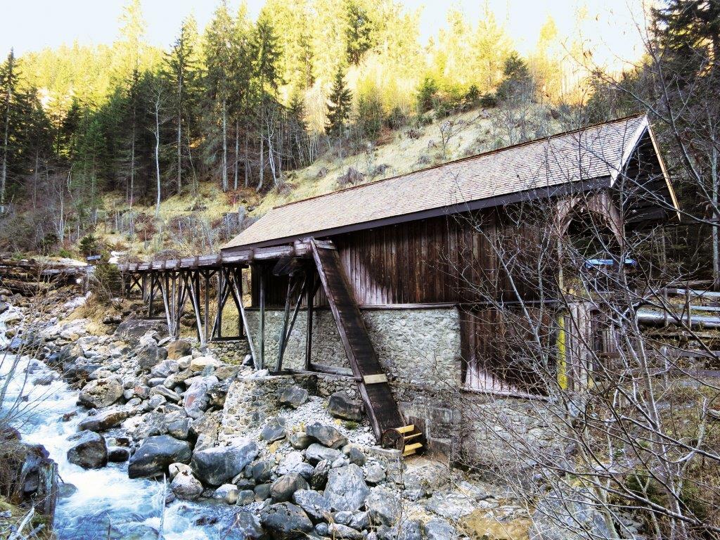
There is no shop along the main road, instead you find plenty of meadows, pastures, forest and a bridge across the Plessur river.
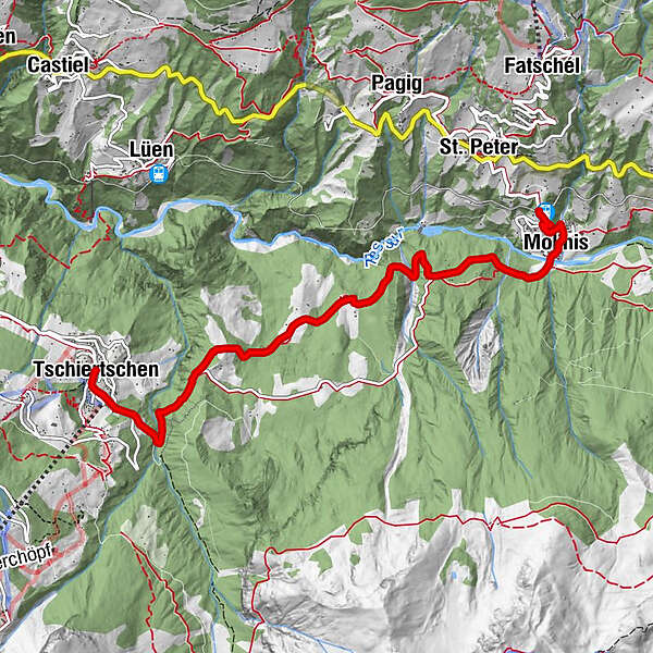
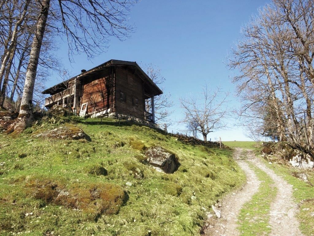
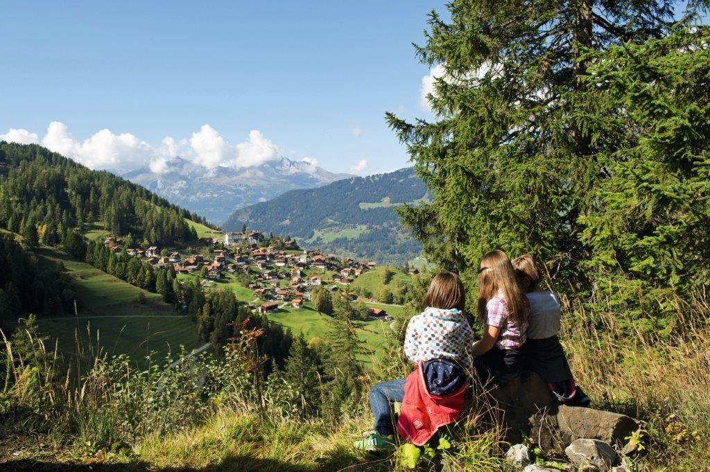
The hike starts on a small road and continues on meadow and forest paths. You may begin the hike in Tschiertschen as well as Molinis.
- Difficoltà
-
facile
- Valutazione
-
- Percorso
-
Central0,0 kmTschiertschen (1.343 m)0,0 kmMolinis (1.137 m)5,6 kmKirche Molinis5,7 kmSt. Peter-Molinis (1.157 m)6,2 km
- La stagione migliore
-
genfebmaraprmaggiulugagosetottnovdic
- Punto più alto
- 1.344 m
- Destinazione
-
Molinis Bahnhof
- Profilo altimetrico
-
 © outdooractive.com
- Autore
-
Il tour Cultural Hike: Tschiertschen - Molinis è utilizzato da outdooractive.com fornito.
GPS Downloads


Info generali
Punto di ristoro
Culturale/Storico
Promettente