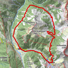
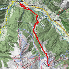
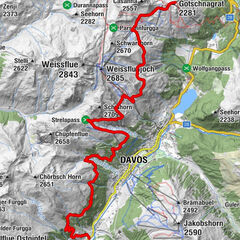
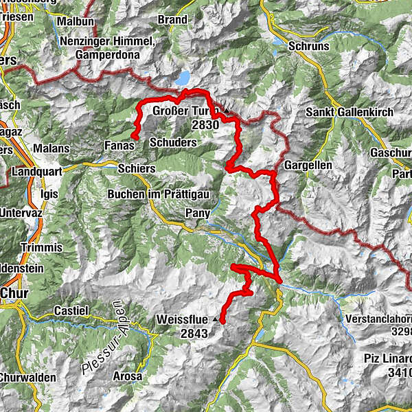
Three-day trail: Panorama Trailrun from Davos, Klosters to Praettigau (entire route)

Trailrunning


© Davos Klosters Mountains - Jo Werner

© Davos Klosters Mountains


© Davos Klosters Mountains - Jo Werner

© Davos Klosters Mountains

© Davos Klosters Mountains

© Davos Klosters Mountains

© Davos Klosters Mountains

- Descrizione rapida
-
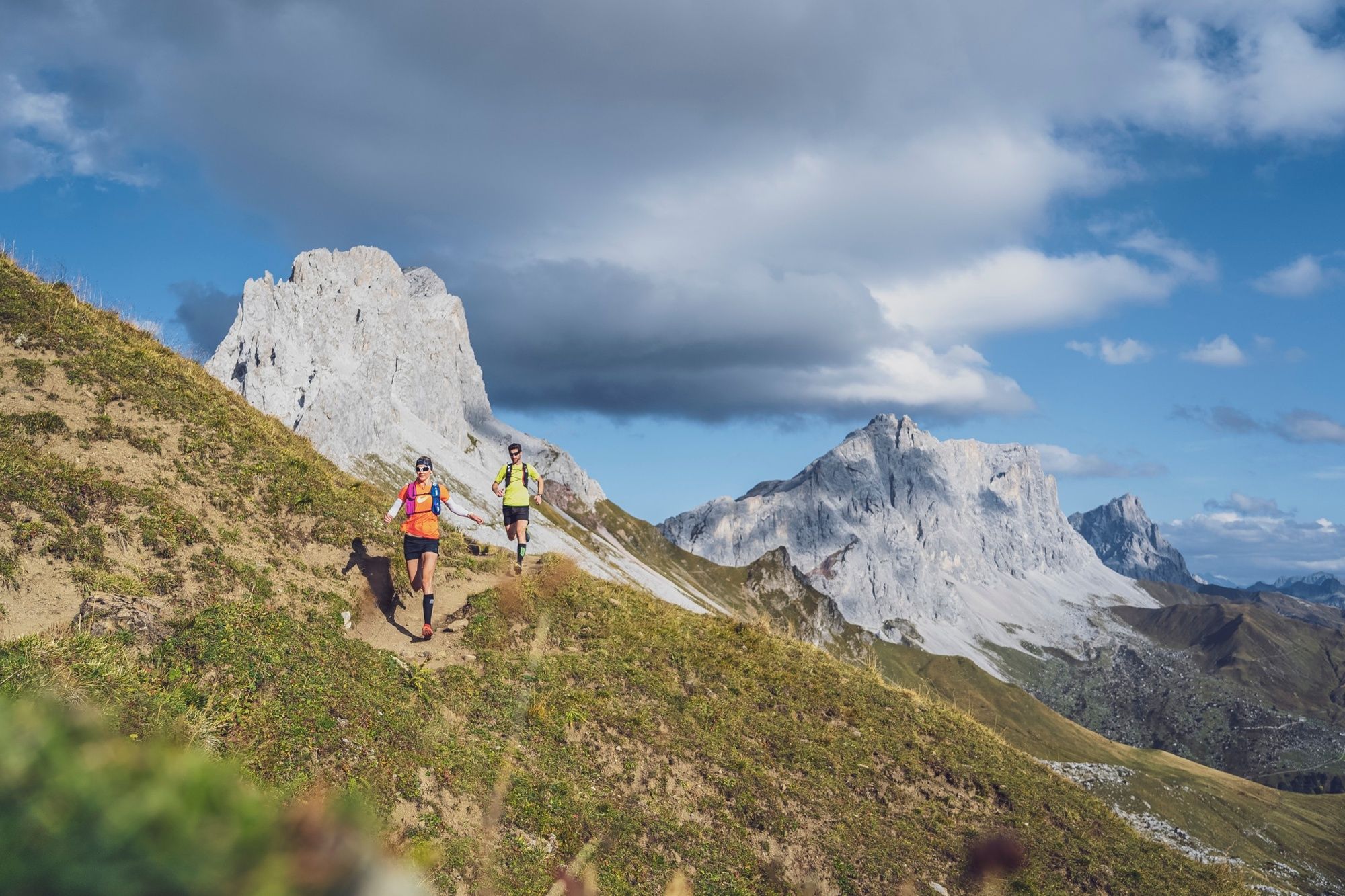
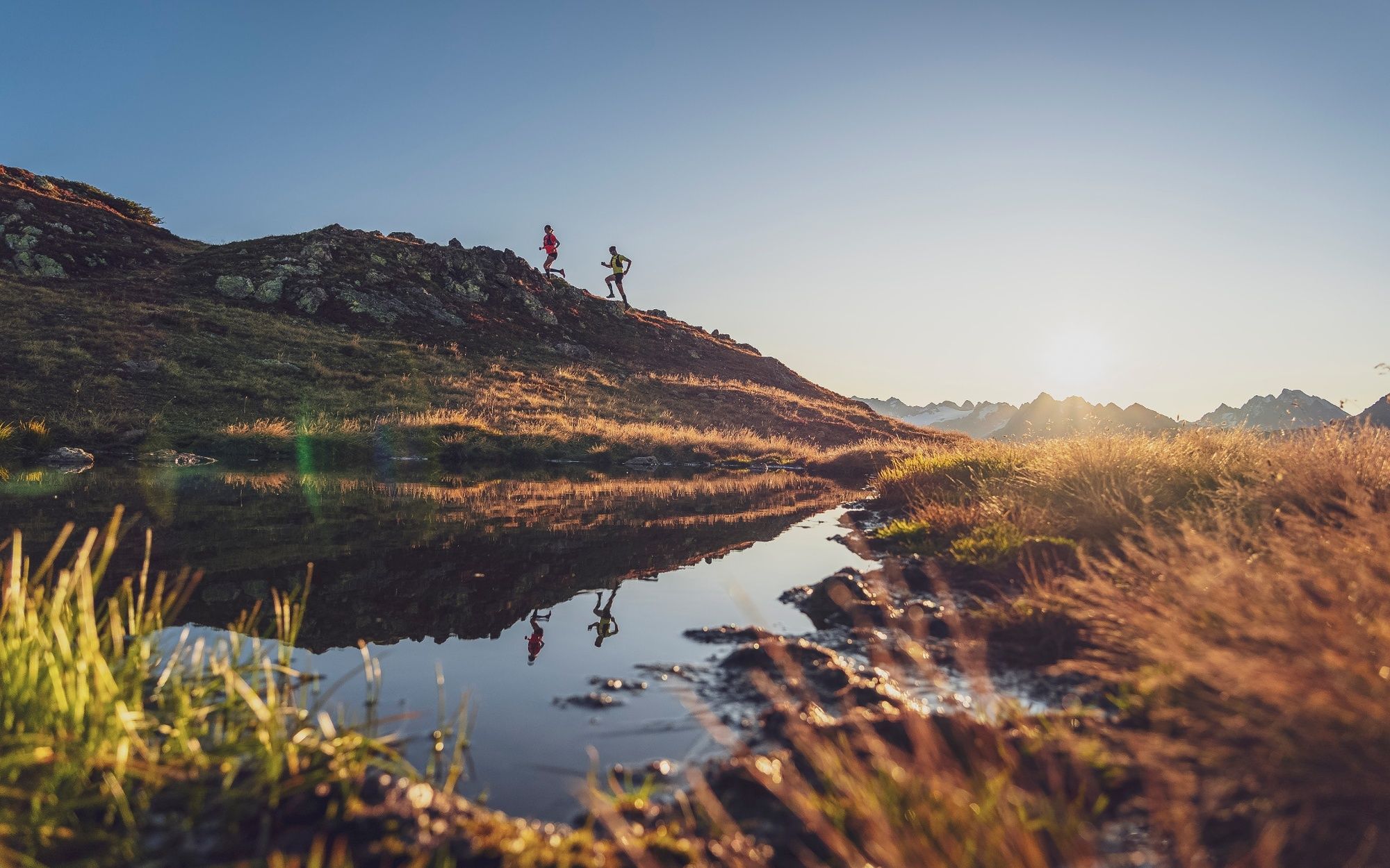
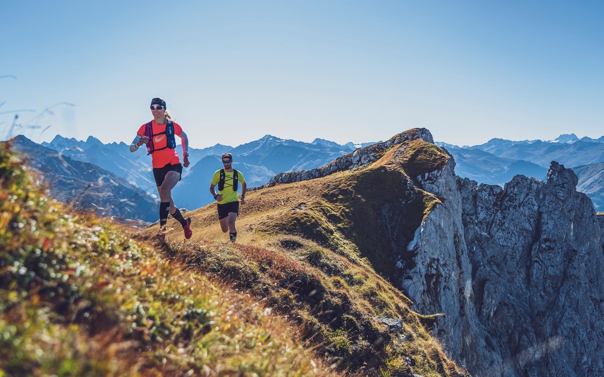
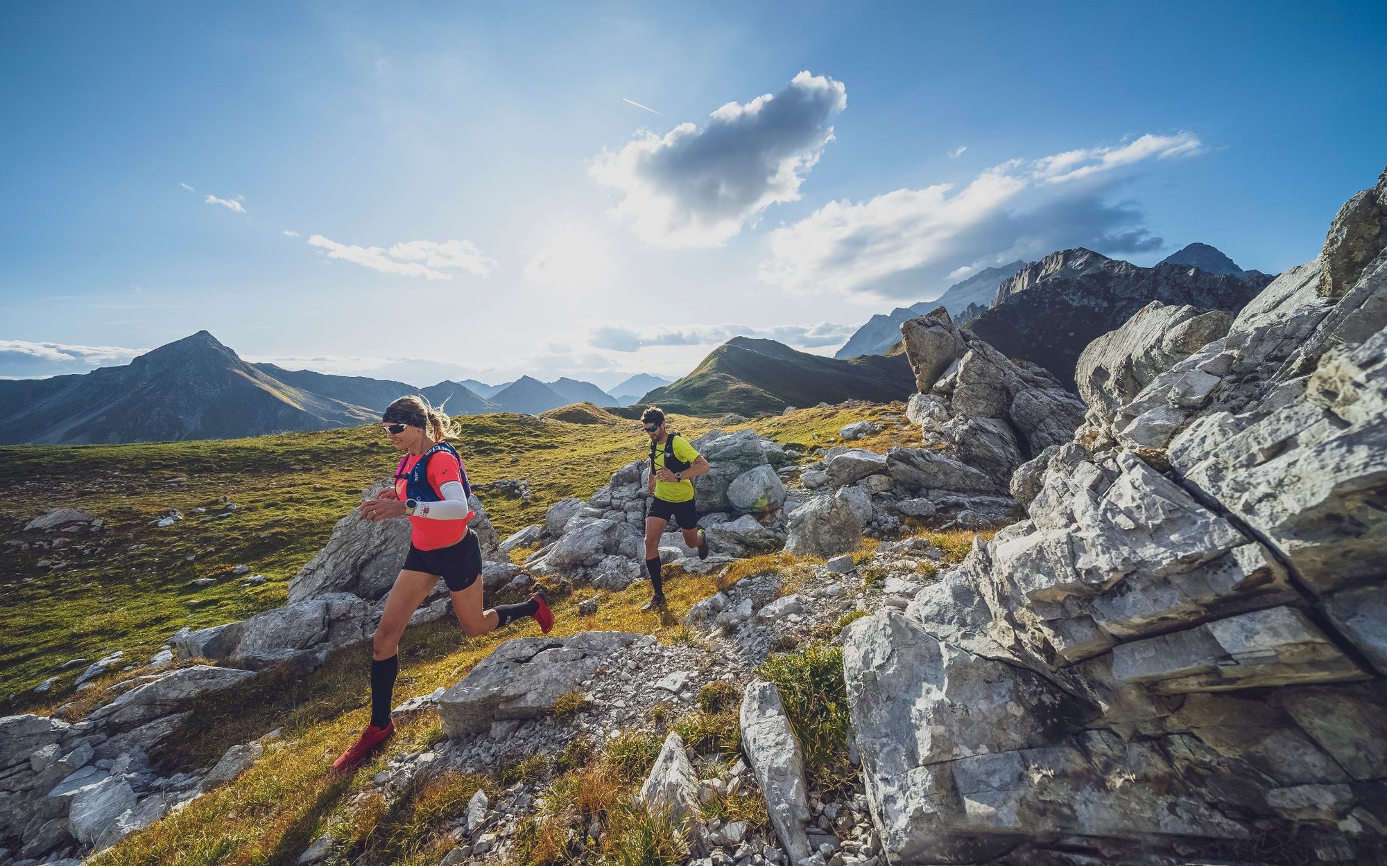
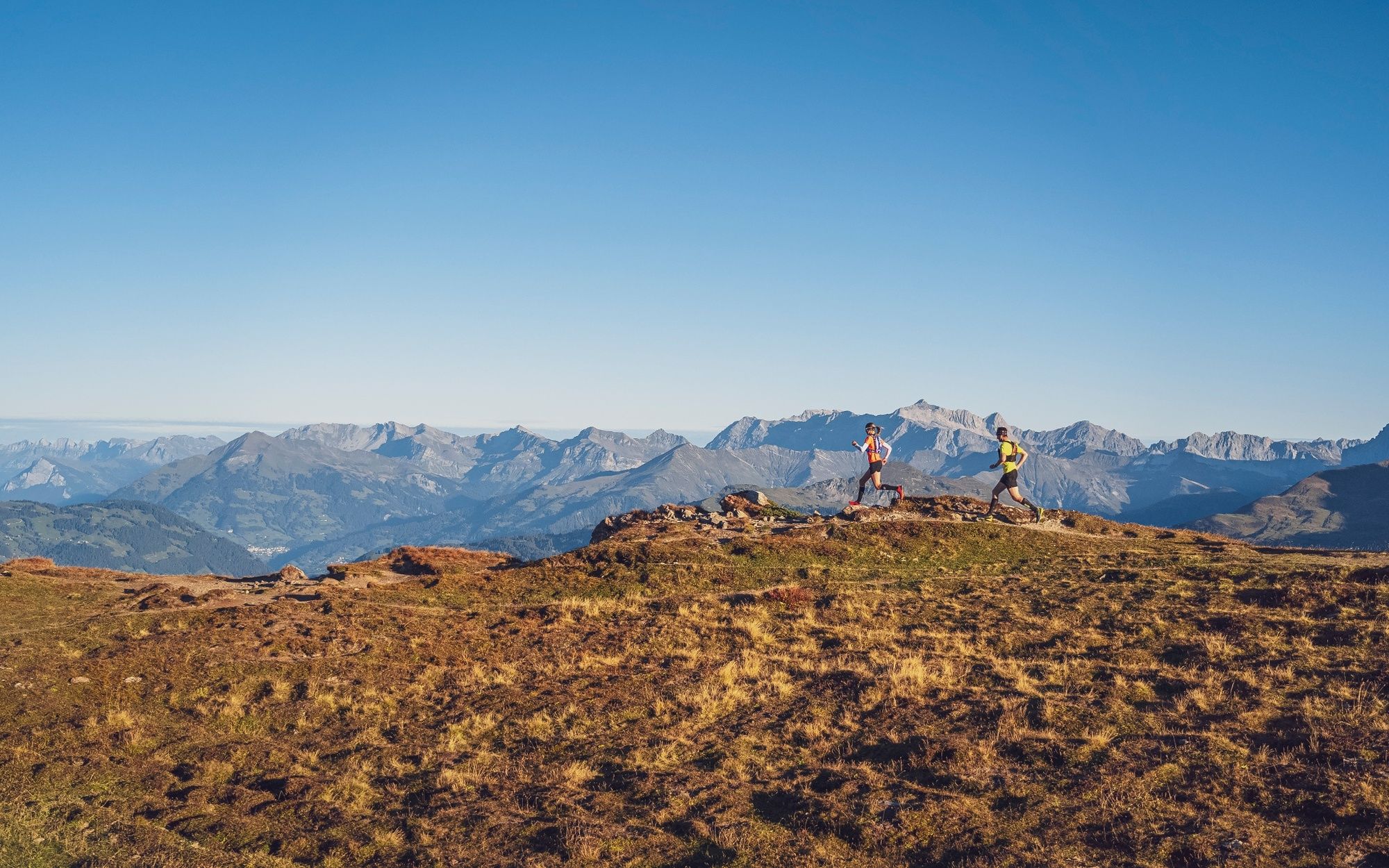
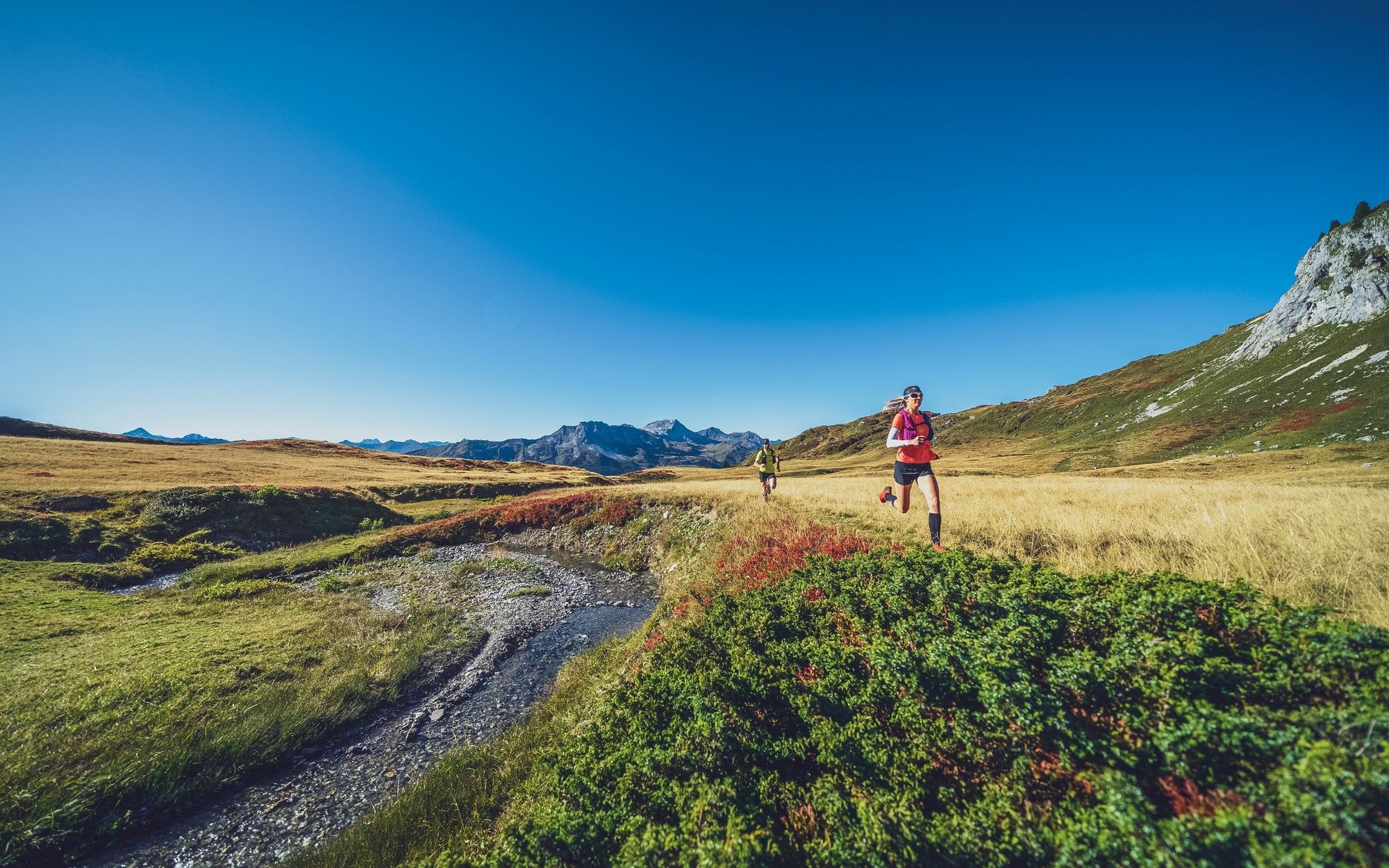
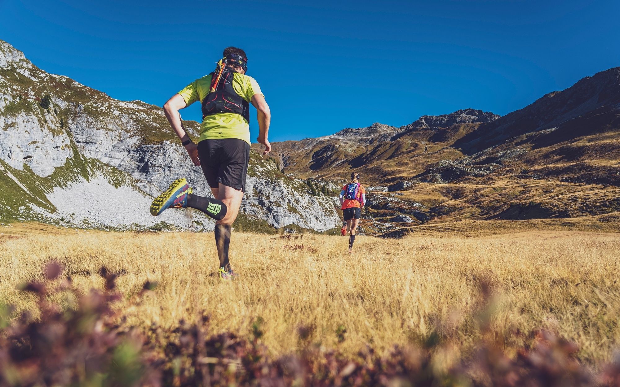
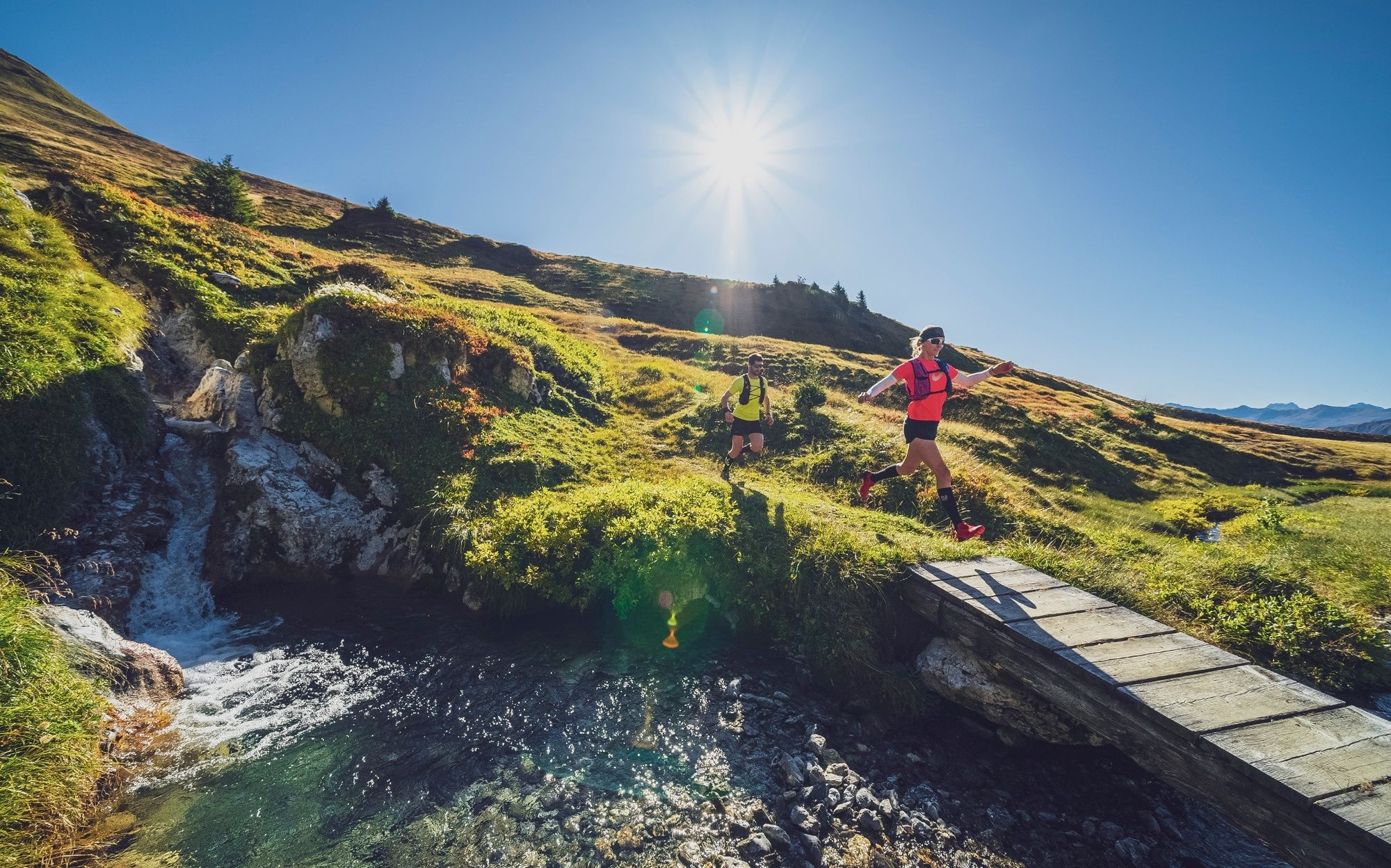
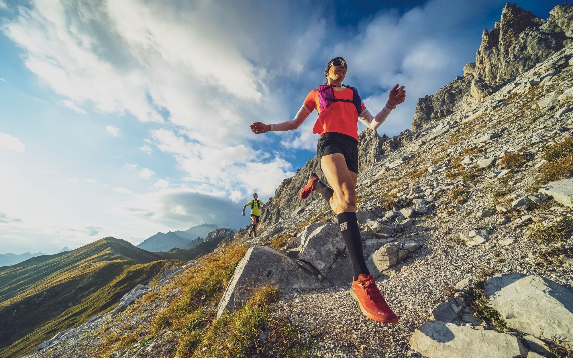
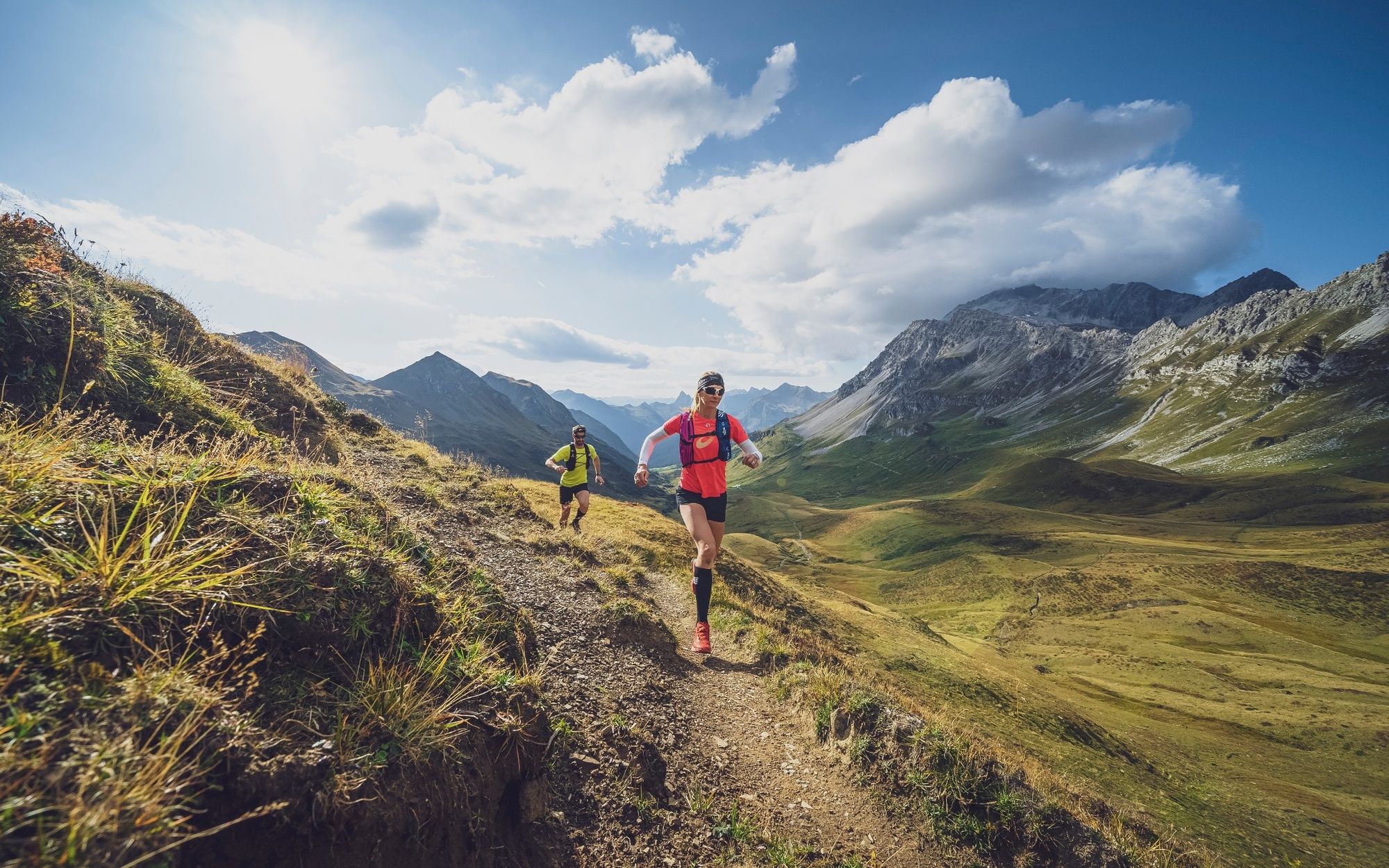
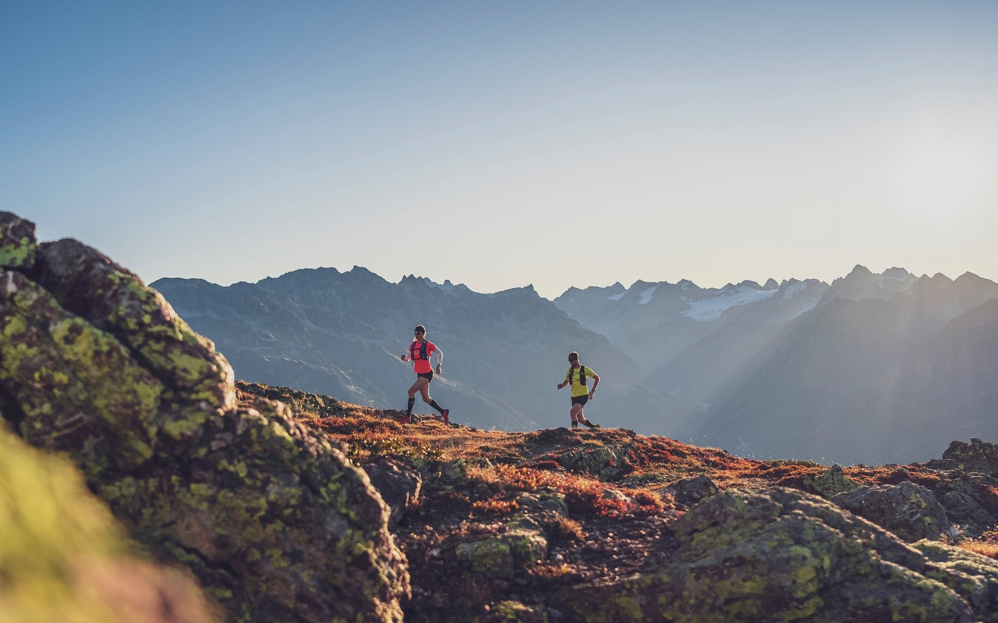
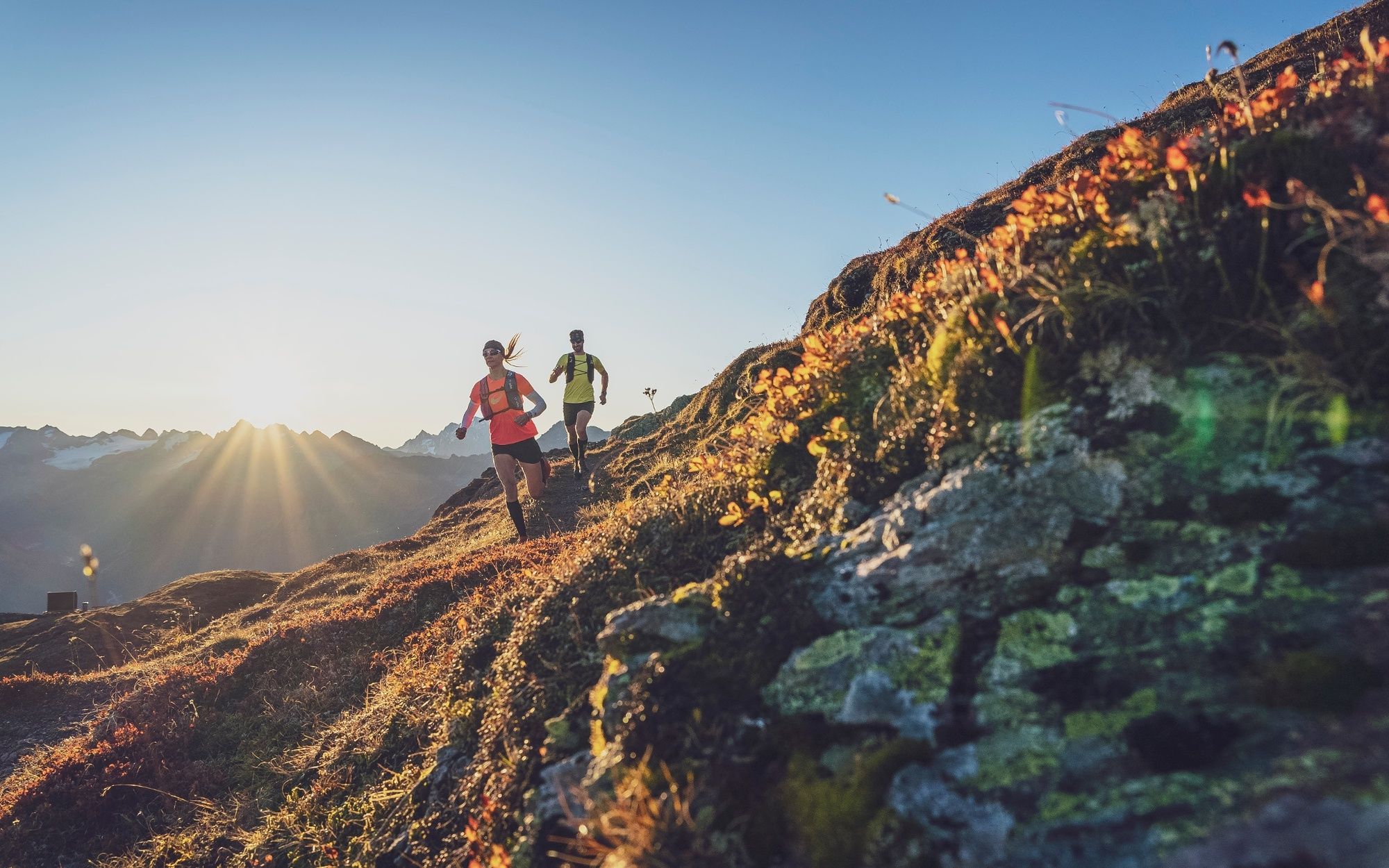
Three days - Three regions - Three mountains
The "Drei Tage Trail" is a multi-day trailrunning tour in Grisons, leading from Davos to Klosters and into the Prättigau. The top trailrun destinations combine the exciting Parsenn/Gotschna, Madrisa and Rätikon mountains into a panoramic trailrun with three daily stages.
The 69 km long three-day trail offers a unique experience for all those who can't get enough of trailrunning. The route fits to all trail runners who already have some experience. The tour can also be booked as a package during the summer season and consists of three overnight stays incl. dinner, the cable care rides and optionally a luggage transport for the entire route. This allows guests to focus entirely on the trails without any weight on their backs.
- Difficoltà
-
difficile
- Valutazione
-
- Percorso
-
Weissfluhjoch (2.663 m)Parsennfurgga2,4 kmCasanna (2.557 m)4,5 kmGrüenhorn (2.501 m)4,9 kmSchwendi9,6 kmKlosters Platz (1.191 m)17,4 kmKlosters Dorf19,3 kmPizzeria Madrisa-Mia19,6 kmMadrisabahn Talstation (1.191 m)19,7 kmStn. Madrisa (1.884 m)20,4 kmBergrestaurant Madrisa-Alp20,4 kmAlbeina I22,0 kmAlbeina II22,0 kmGeisshorn (2.276 m)24,7 kmBockhorn (2.353 m)25,3 kmSaaser Calanda (2.585 m)26,8 kmRätschenhorn (2.703 m)27,6 kmRüti38,4 kmLitzirüti38,5 kmMeierhof39,4 kmSankt Antönien (1.459 m)39,8 kmHotel Restaurant Rhätia39,9 kmMarschall39,9 kmHotel-Restaurant Madrisajoch39,9 kmReformierte Kirche St. Antönien39,9 kmPlatz (1.420 m)40,0 kmCarschinafurgga (2.221 m)47,4 kmCarschinahütte47,6 kmGolrosa (2.124 m)59,6 kmHintersäss61,4 kmVordersäss63,4 kmBerggasthaus Sassauna69,0 kmEggli (1.700 m)69,1 km
- La stagione migliore
-
genfebmaraprmaggiulugagosetottnovdic
- Punto più alto
- 2.692 m
- Destinazione
-
Fanas
- Profilo altimetrico
-
 © outdooractive.com


- Autore
-
Il tour Three-day trail: Panorama Trailrun from Davos, Klosters to Praettigau (entire route) è utilizzato da outdooractive.com fornito.
GPS Downloads


Info generali
Punto di ristoro
Suggerimento
Promettente
Altri tour nelle regioni
-
Prättigau
149
-
St. Antönien
31