© Flims Laax Falera - Ruggli Philipp

© Flims Laax Falera - Ruggli Philipp

© Flims Laax Falera - Ruggli Philipp

© Flims Laax Falera - Ruggli Philipp

© Flims Laax Falera - Ruggli Philipp

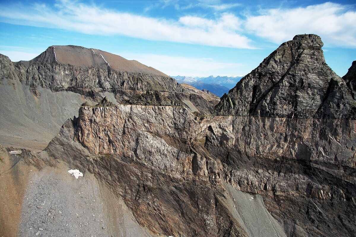
© Ruedi Homberger - UNESCO-Welterbe Tektonikarena Sardona

© Ruedi Homberger - UNESCO-Welterbe Tektonikarena Sardona
- Descrizione rapida
-
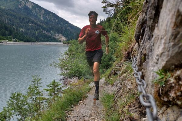
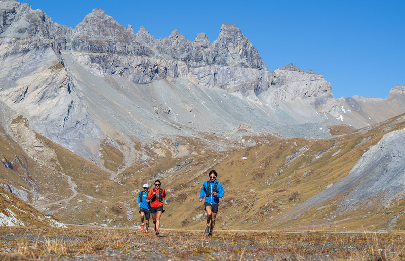
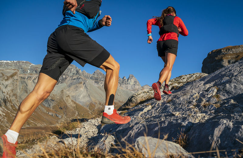
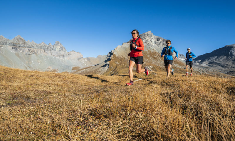
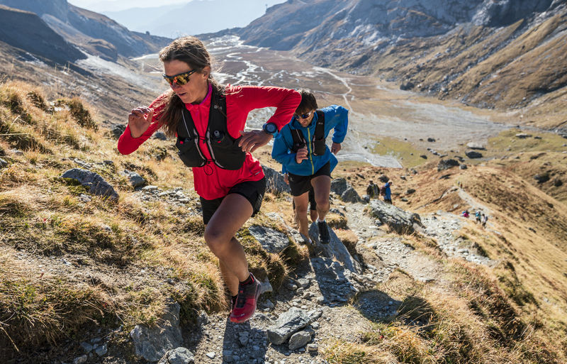
A trail running tour in the magnificent UNESCO Sardona surroundings. The route runs exclusively on single trails.
- Difficoltà
-
intermedio
- Valutazione
-
- Percorso
-
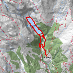
SegneshütteSegnas1,1 kmSegnas7,0 kmSegneshütte8,0 km
- La stagione migliore
-
genfebmaraprmaggiulugagosetottnovdic
- Punto più alto
- 2.457 m
- Destinazione
-
Segneshütte
- Profilo altimetrico
-
 © outdooractive.com


- Autore
-
Il tour Lower Segnesboden Trail è utilizzato da outdooractive.com fornito.
GPS Downloads


Info generali
Punto di ristoro
Altri tour nelle regioni
-
Glarnerland
88
-
Flims Laax Falera
85
-
Elm
21