© Chur - Die Alpenstadt - Michael Christ
© Chur - Die Alpenstadt - Michael Christ
© Chur - Die Alpenstadt - Michael Christ

© Chur - Die Alpenstadt - Michael Christ

© Chur - Die Alpenstadt - Michael Christ
© Chur - Die Alpenstadt - Michael Christ

© Chur - Die Alpenstadt - Michael Christ

© Chur - Die Alpenstadt - Michael Christ
© Chur - Die Alpenstadt - Michael Christ
© Chur - Die Alpenstadt - Michael Christ

- Descrizione rapida
-
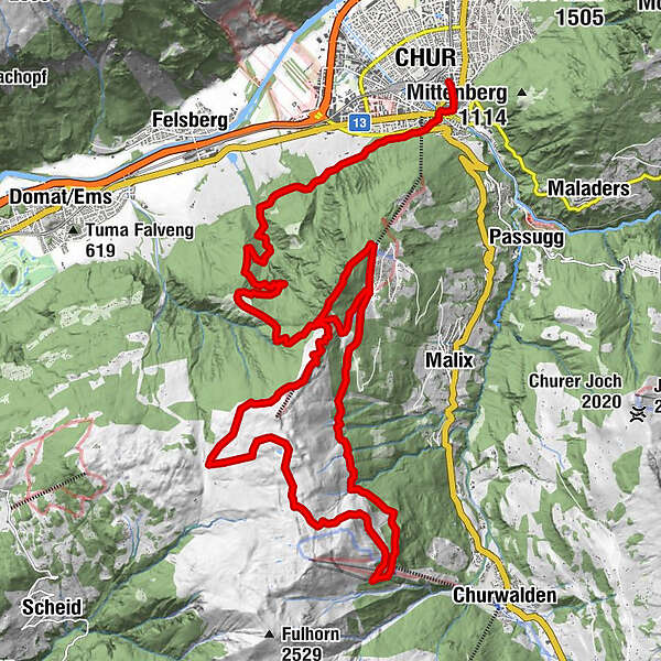
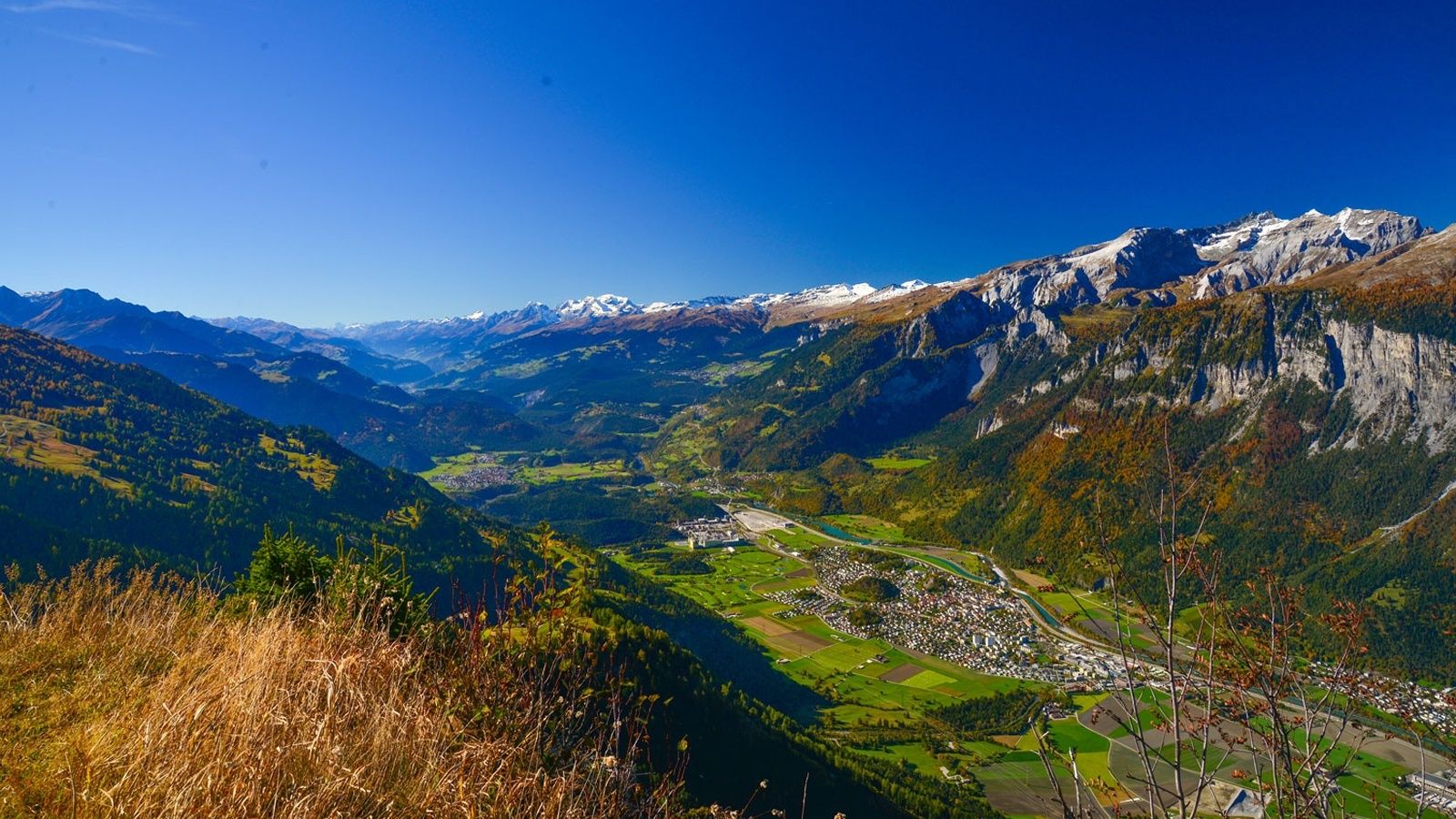
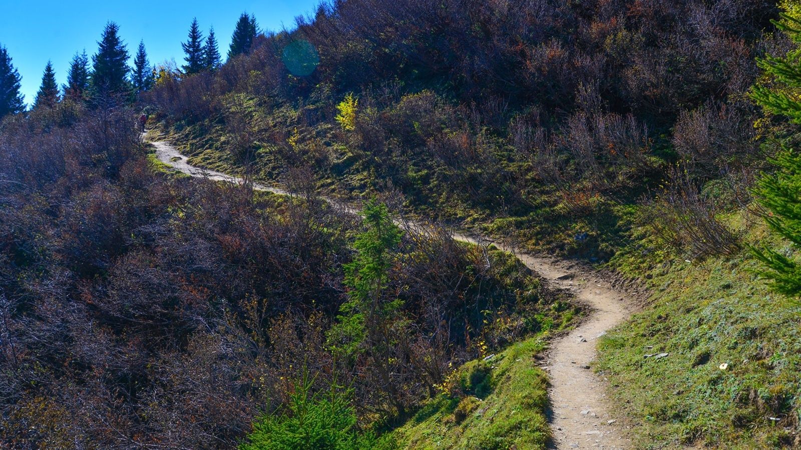
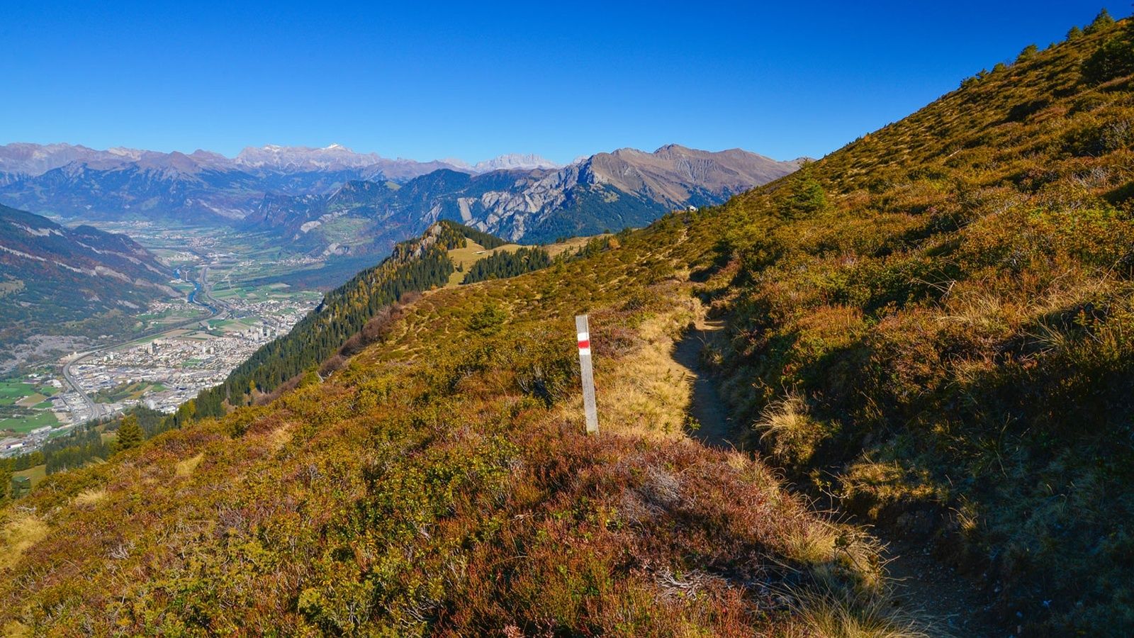
The Long Trail LANGA connects the two trails UFFA and OBA and is aimed at 28.2 km and 2,140 vertical meters to complete and well-trained, persevering runners.
- Difficoltà
-
difficile
- Valutazione
-
- Percorso
-
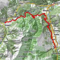
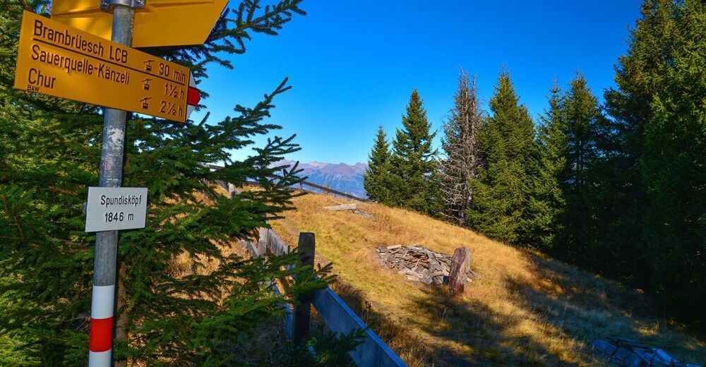
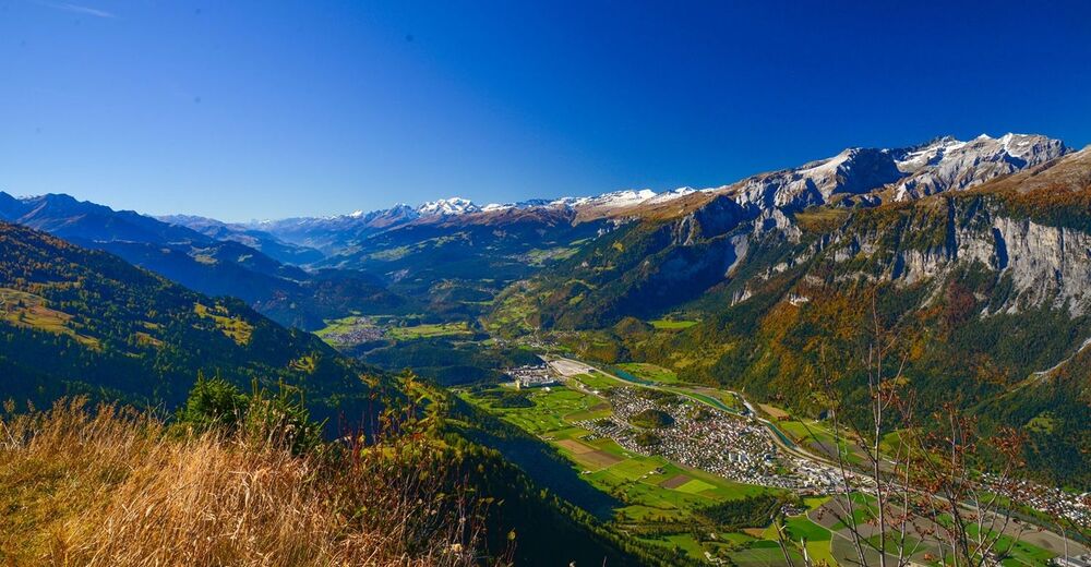
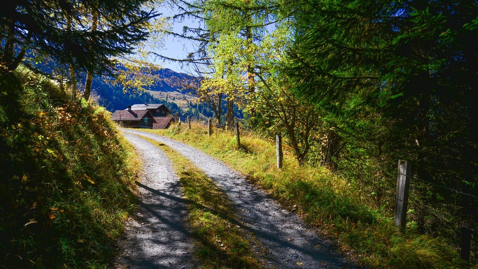
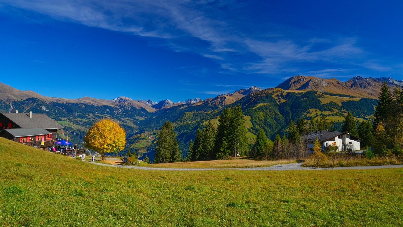
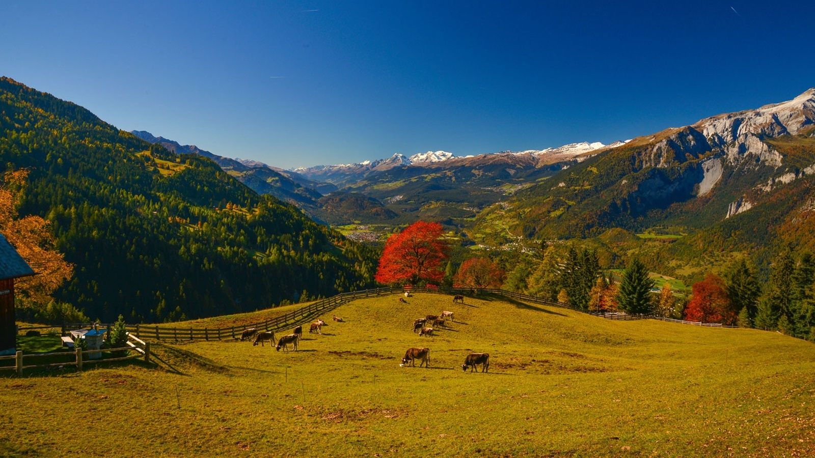
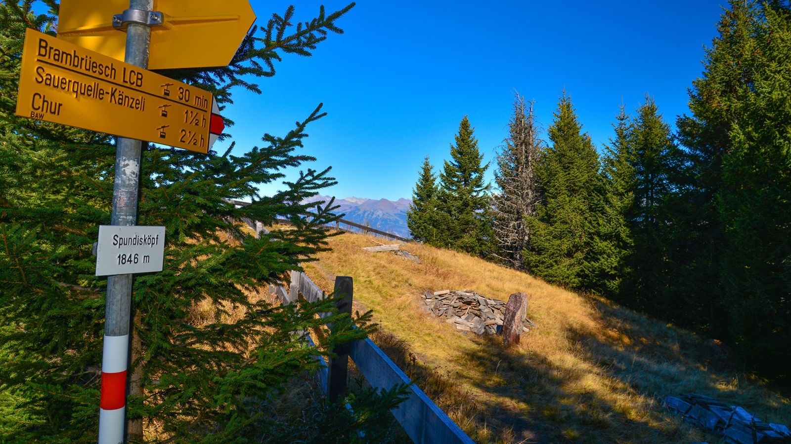
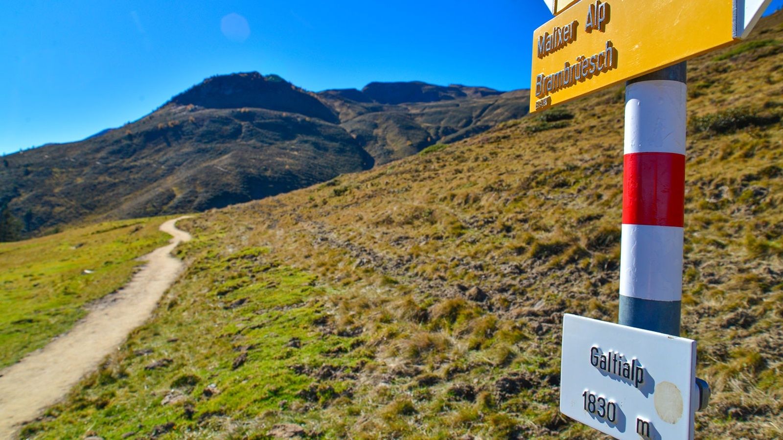
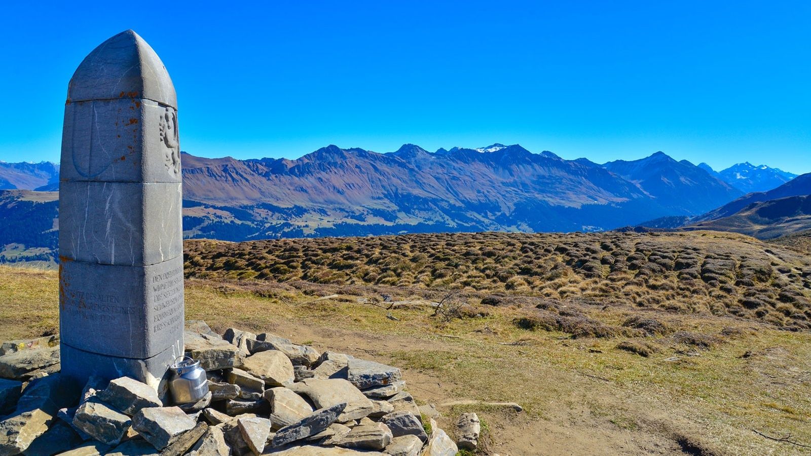
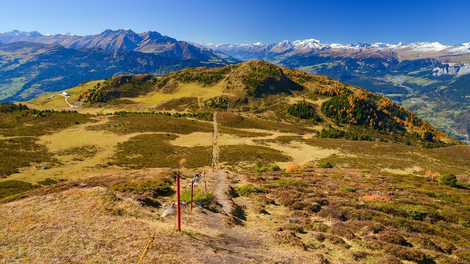
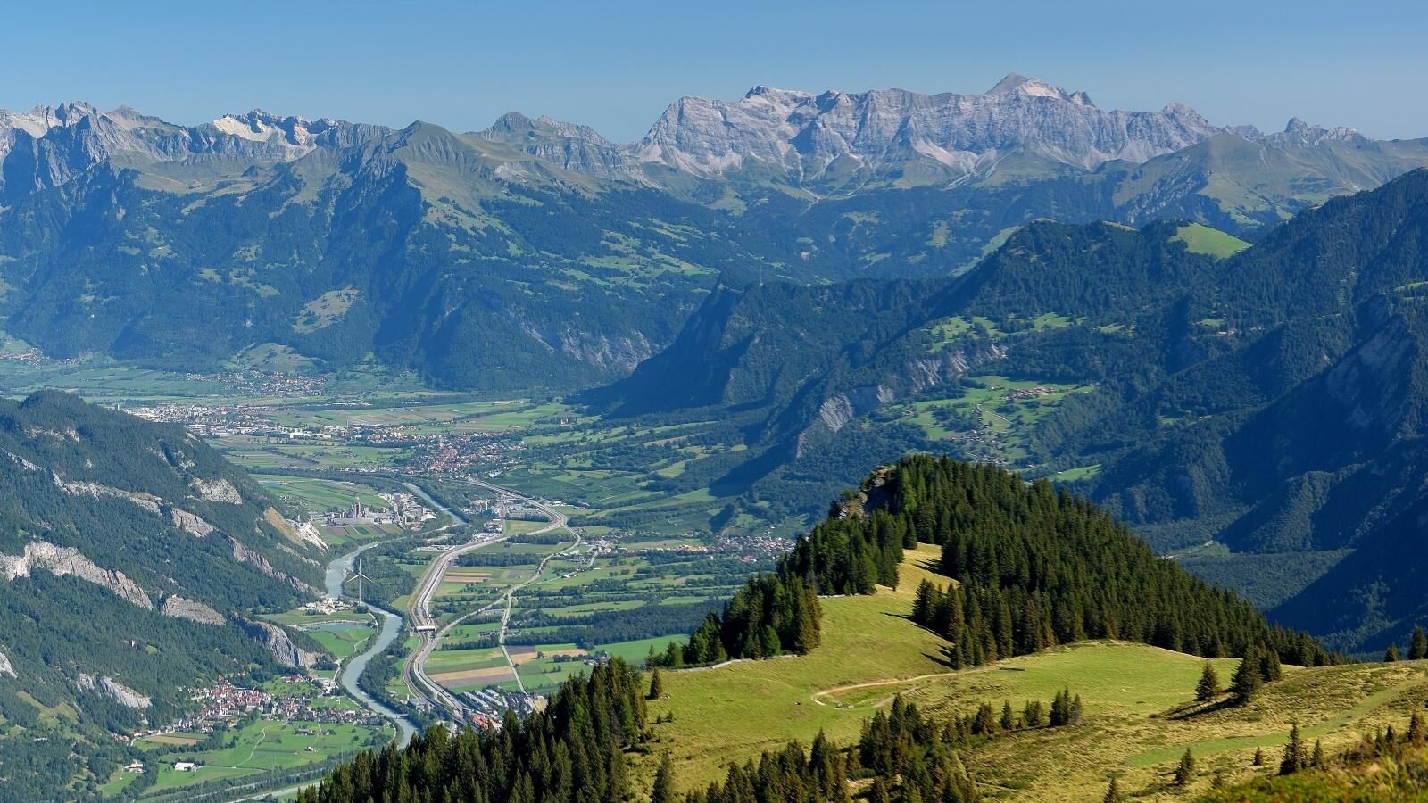
Coira (593 m)Martinskirche0,2 kmFriedenskirche0,7 kmRosenhhügel0,9 kmKornquader1,5 kmGiufs (1.378 m)7,9 kmBerghaus Juchs7,9 kmSpundisköpfe10,5 kmCoira (593 m)11,5 kmBrambrüesch11,8 kmberg.baiz11,8 kmEdelweishütte13,2 kmBergrestaurant Pradaschier (1.814 m)17,5 kmDreibündenstein (2.160 m)21,3 kmberg.baiz28,0 km
- La stagione migliore
-
genfebmaraprmaggiulugagosetottnovdic
- Punto più alto
- 2.158 m
- Destinazione
-
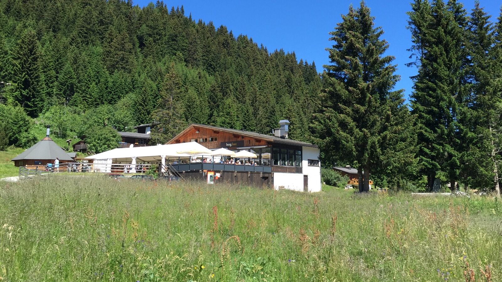
VIVA berg.baiz, Brambrüesch
- Profilo altimetrico
-
 © outdooractive.com


-

-
AutoreIl tour Trailrun LANGA è utilizzato da outdooractive.com fornito.
GPS Downloads


Info generali
Punto di ristoro
Promettente
Altri tour nelle regioni
-
Heidiland
104
-
Chur und Rheintal
111
-
Chur - Brambrüesch
40