A la riva dal Rom – an den Ufern des Rom

Sentiero tematico
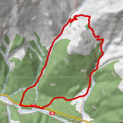
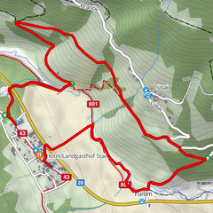
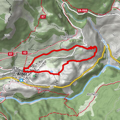
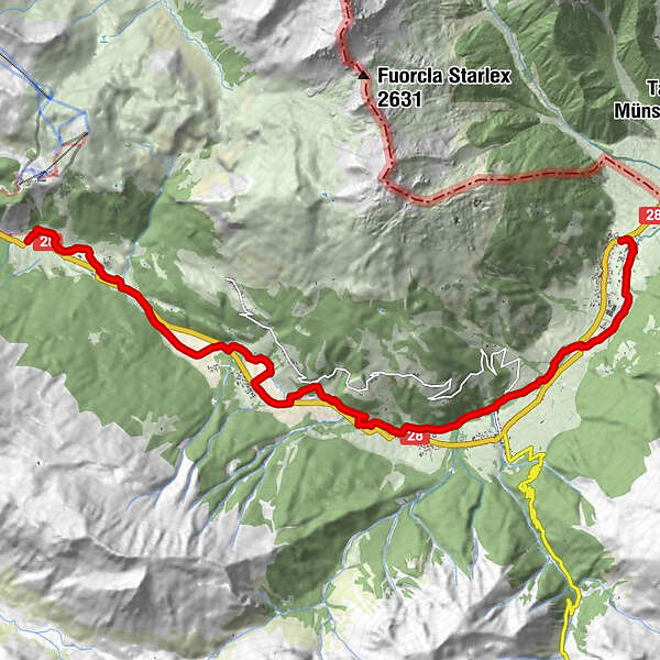
Dati percorsi
15,45km
1.239
- 1.742m
81hm
520hm
04:22h
- Descrizione rapida
-
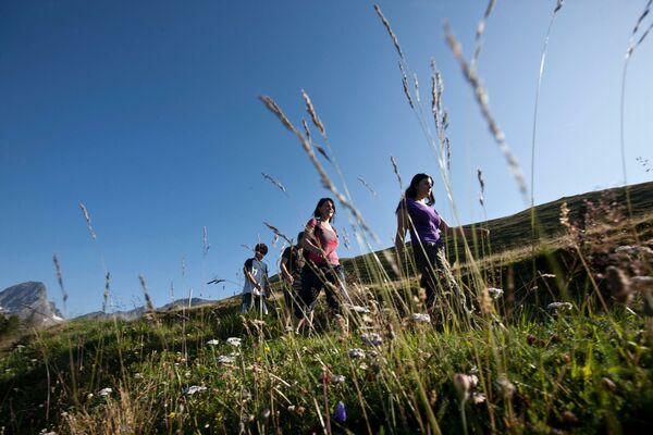
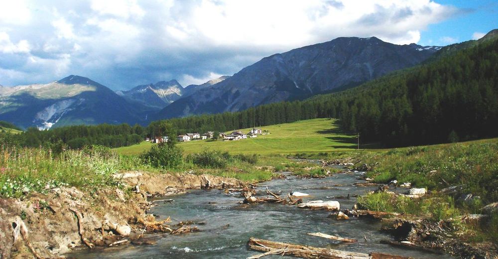
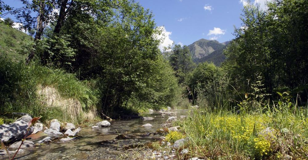
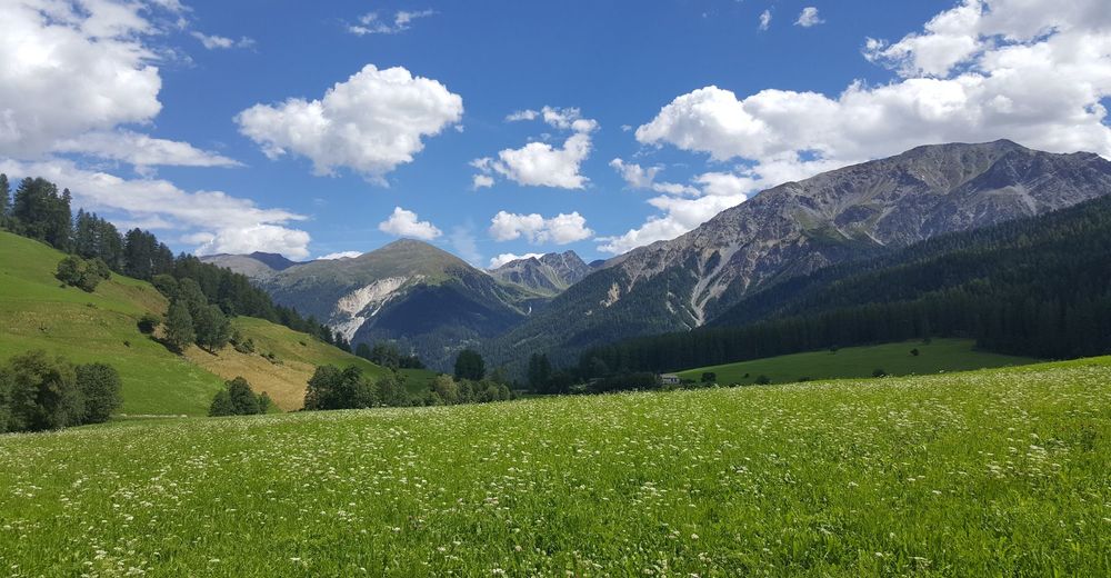
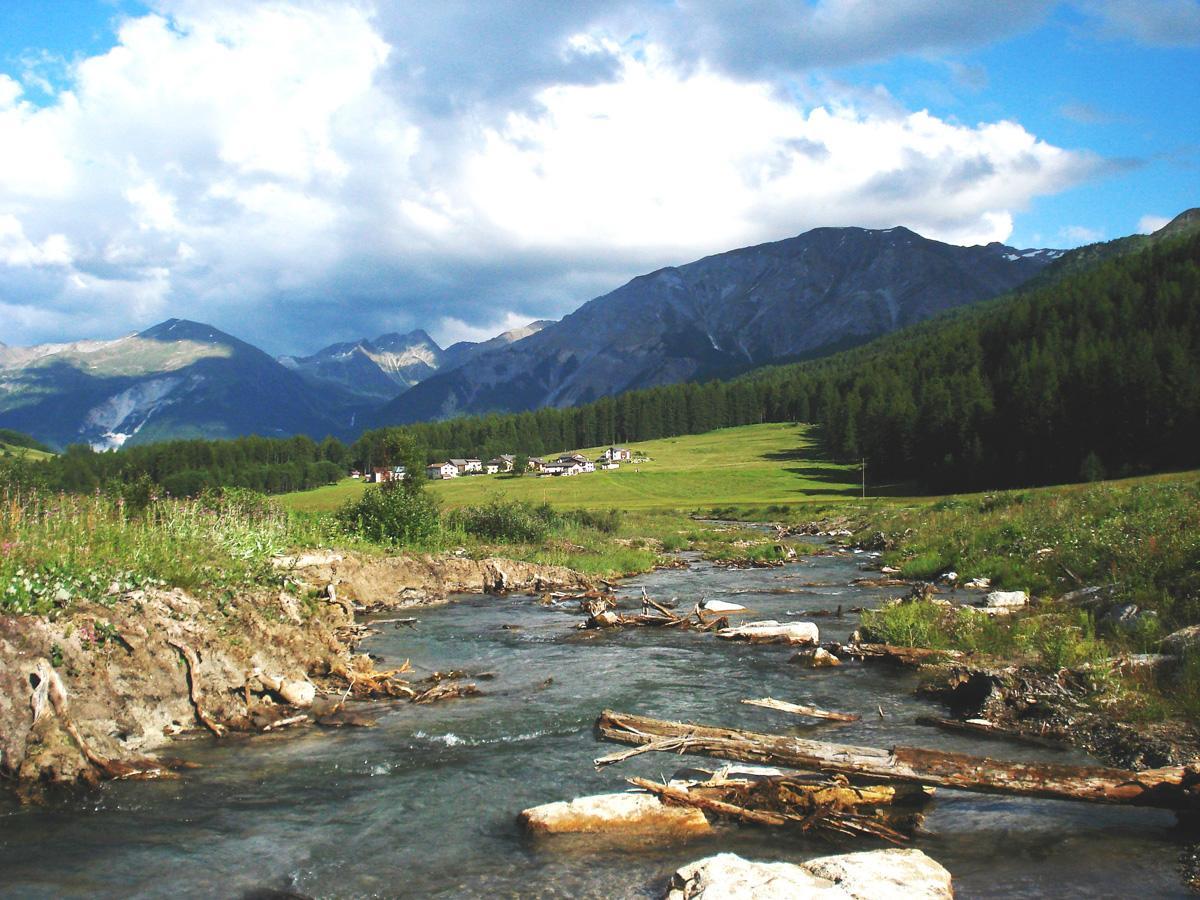
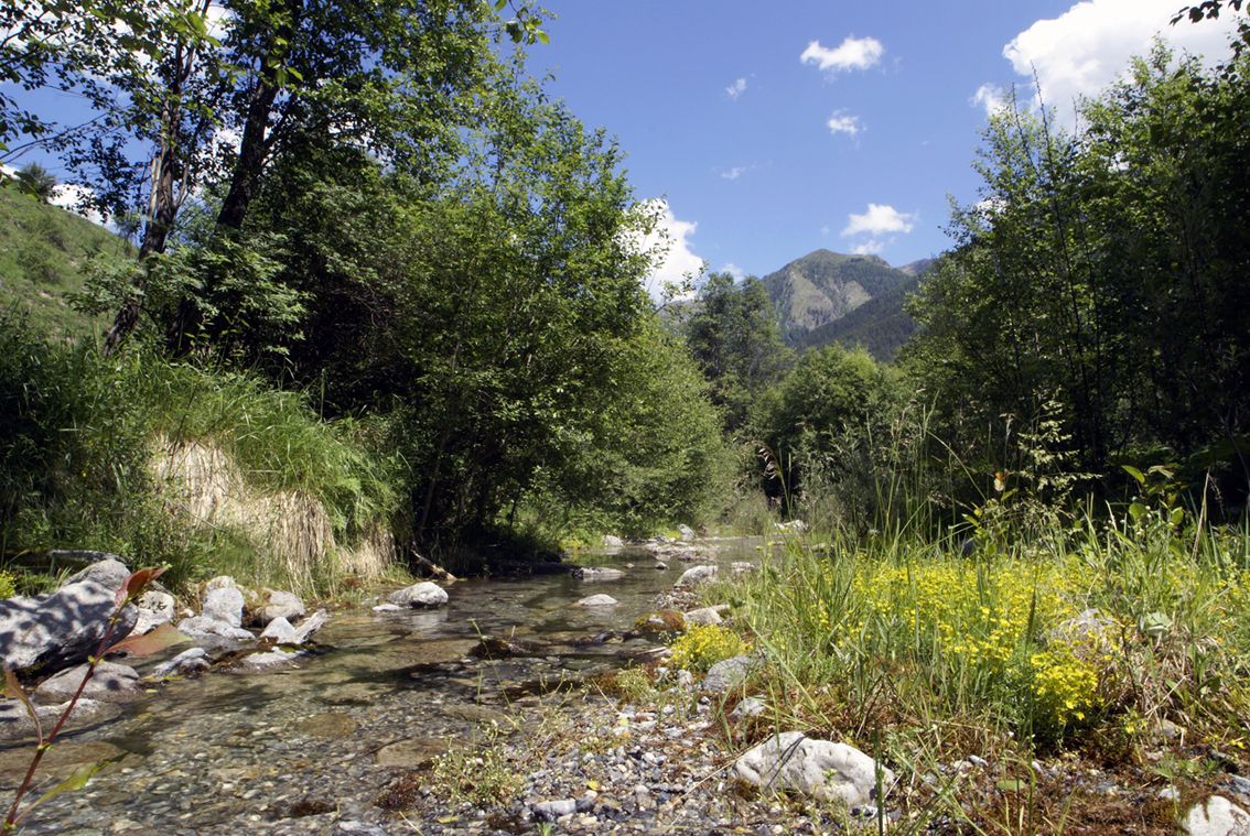
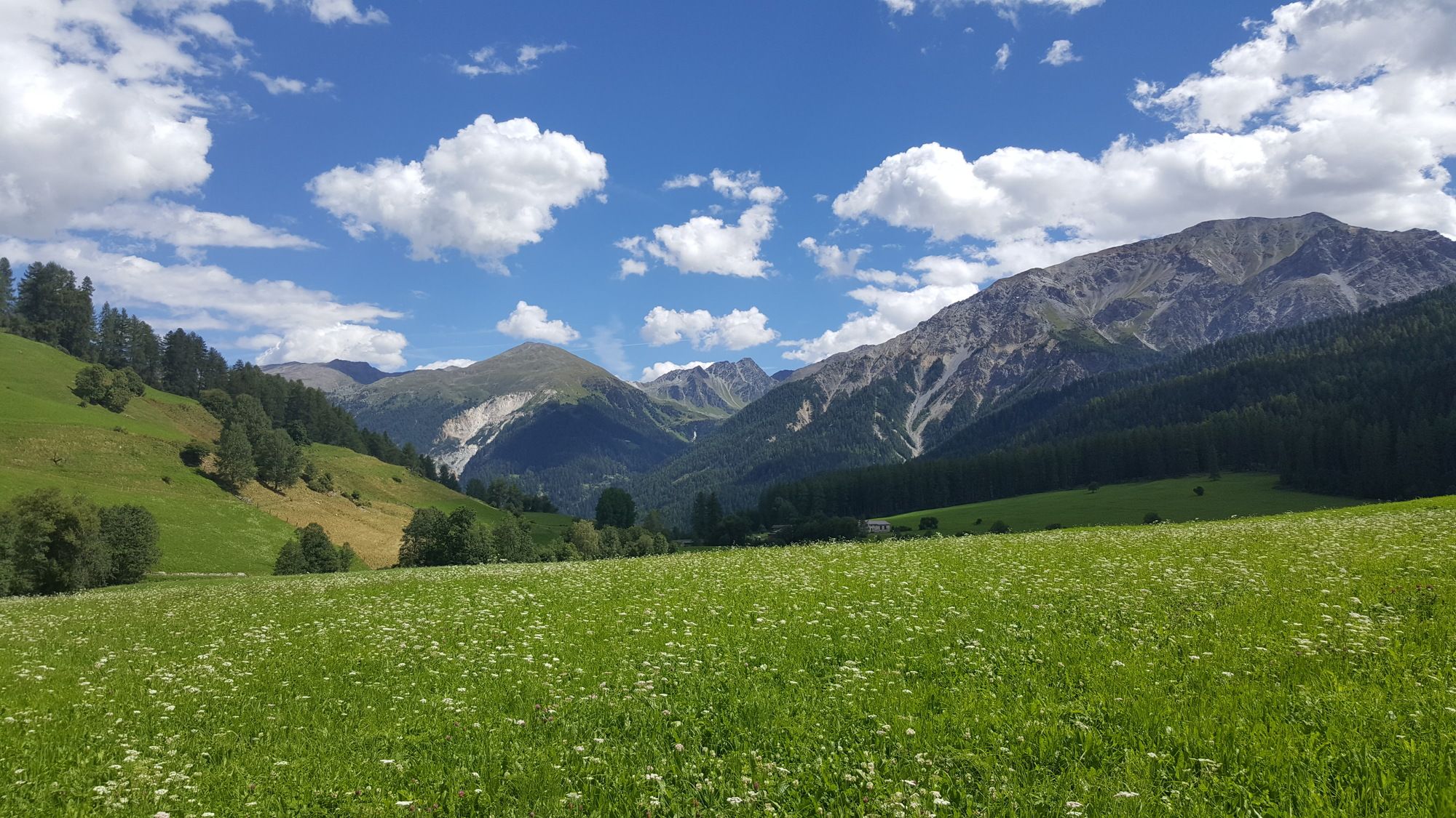
Abwechslungsreiche Wanderung am freifliessenden Haupttalfluss, an prächtigen und weitgehend unberührten Auen entlang des Rombach.
- Difficoltà
-
facile
- Valutazione
-
- Punto di partenza
-
PostAuto-Haltestelle Tschierv, Süsom Tschierv (1747 m)
- Percorso
-
Cierfs (1.660 m)1,3 kmOrasom Tschierv2,7 kmFuldera (1.638 m)6,1 kmFurom6,9 kmMuglin9,5 kmValcava (1.440 m)9,9 kmSta. Maria Val Müstair (1.375 m)11,0 kmPlazzöl14,1 kmChavalatsch15,3 kmHeiligkreuzkapelle15,4 kmMüstair (1.273 m)15,4 km
- La stagione migliore
-
genfebmaraprmaggiulugagosetottnovdic
- Punto più alto
- 1.742 m
- Destinazione
-
PostAuto-Haltestelle Müstair, cunfin
- Riposo/Ritiro
-
Einkehrmöglichkeiten in jedem Dorf
- Telefono informazioni
-
+41 81 861 88 40
- Link
- https://regio.outdooractive.com/oar-engadin-scu...
- Fonte
- Gäste-Information Val Müstair
GPS Downloads


Condizioni dei sentieri
Asfalto
Ghiaia
Prato
Foresta
Roccia
Esposta
Altri tour nelle regioni
-
Vinschgau
1290
-
Biosfera Val Müstair
566
-
Fuldera
145