


- Descrizione rapida
-
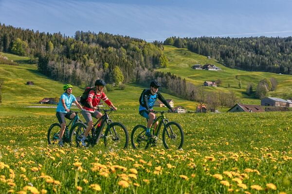
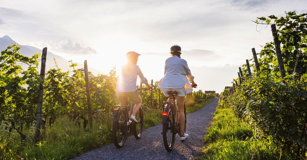
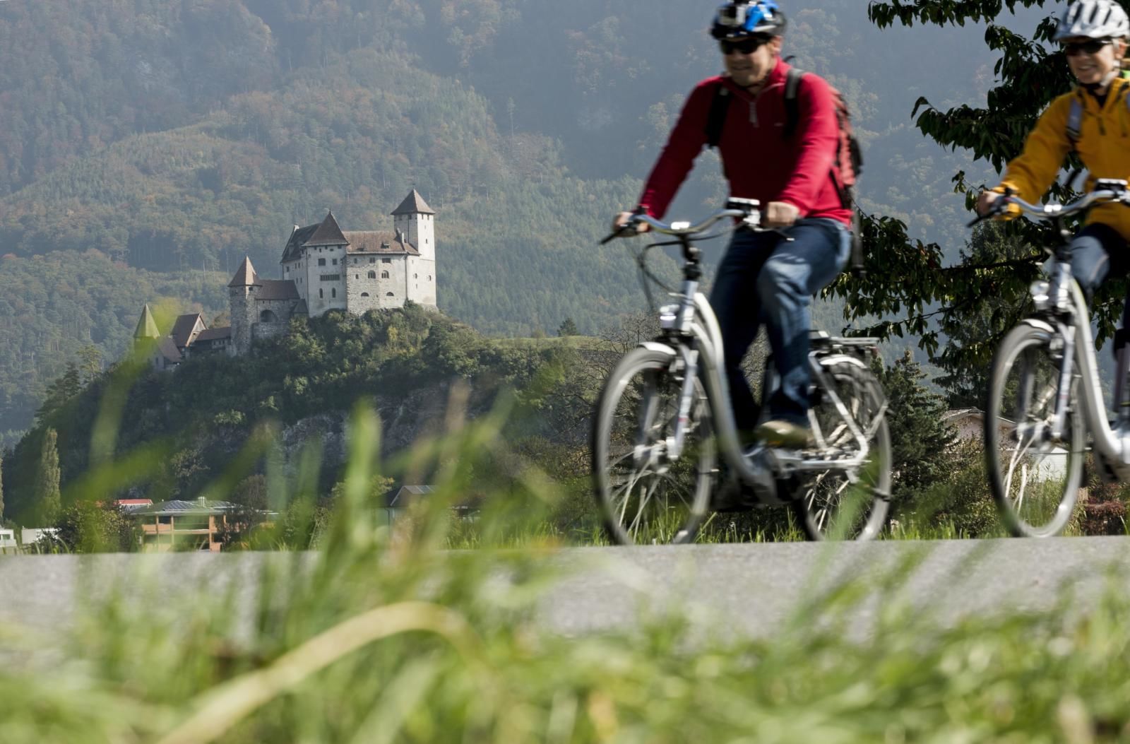
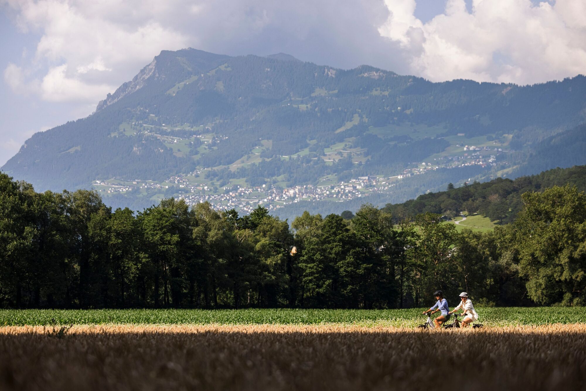
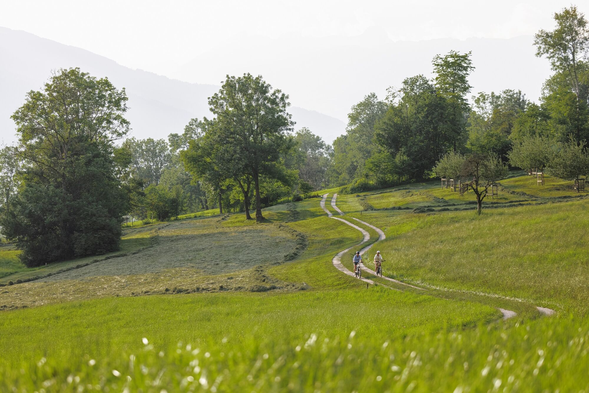
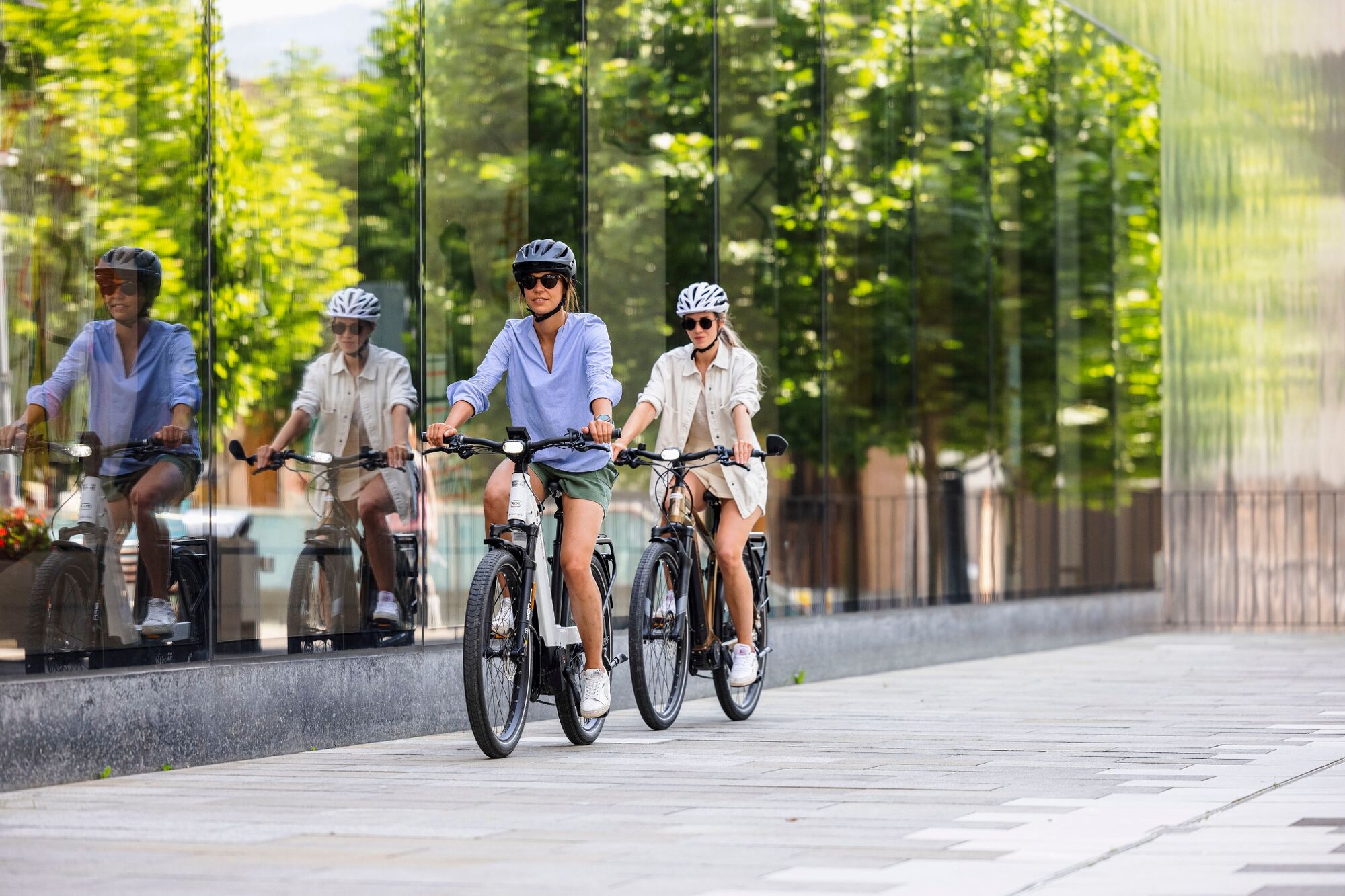
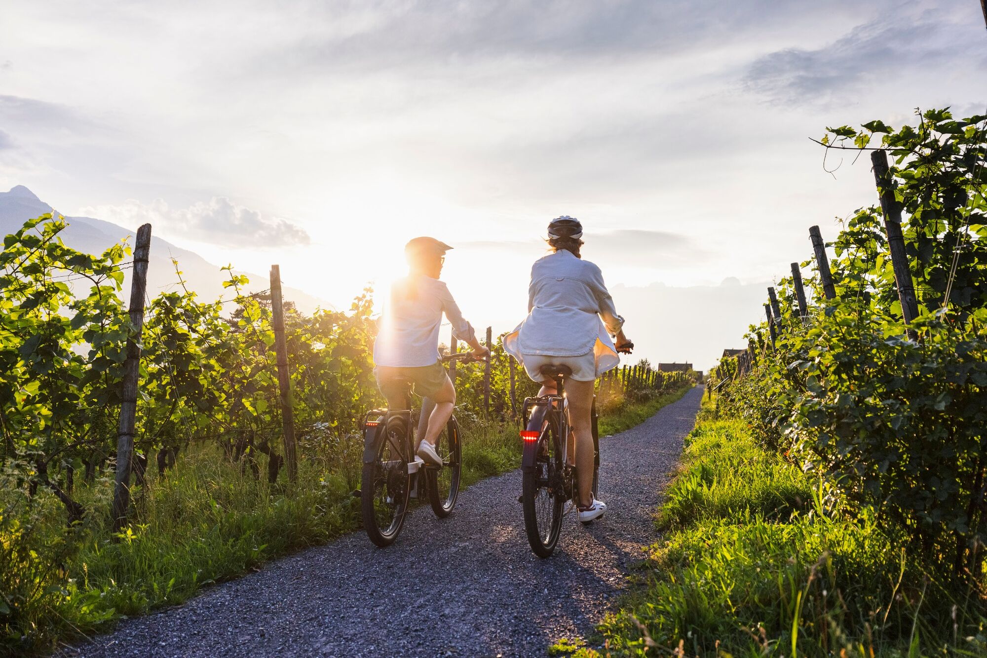
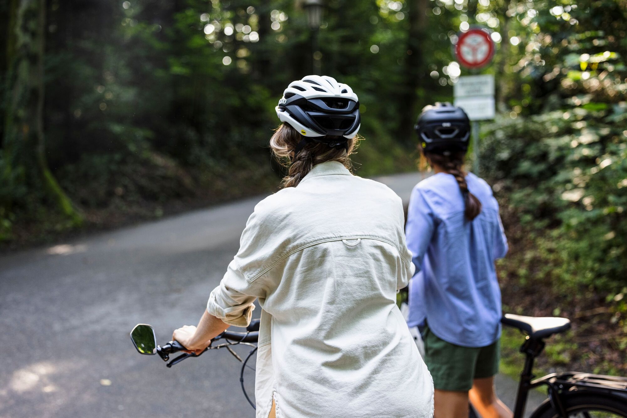
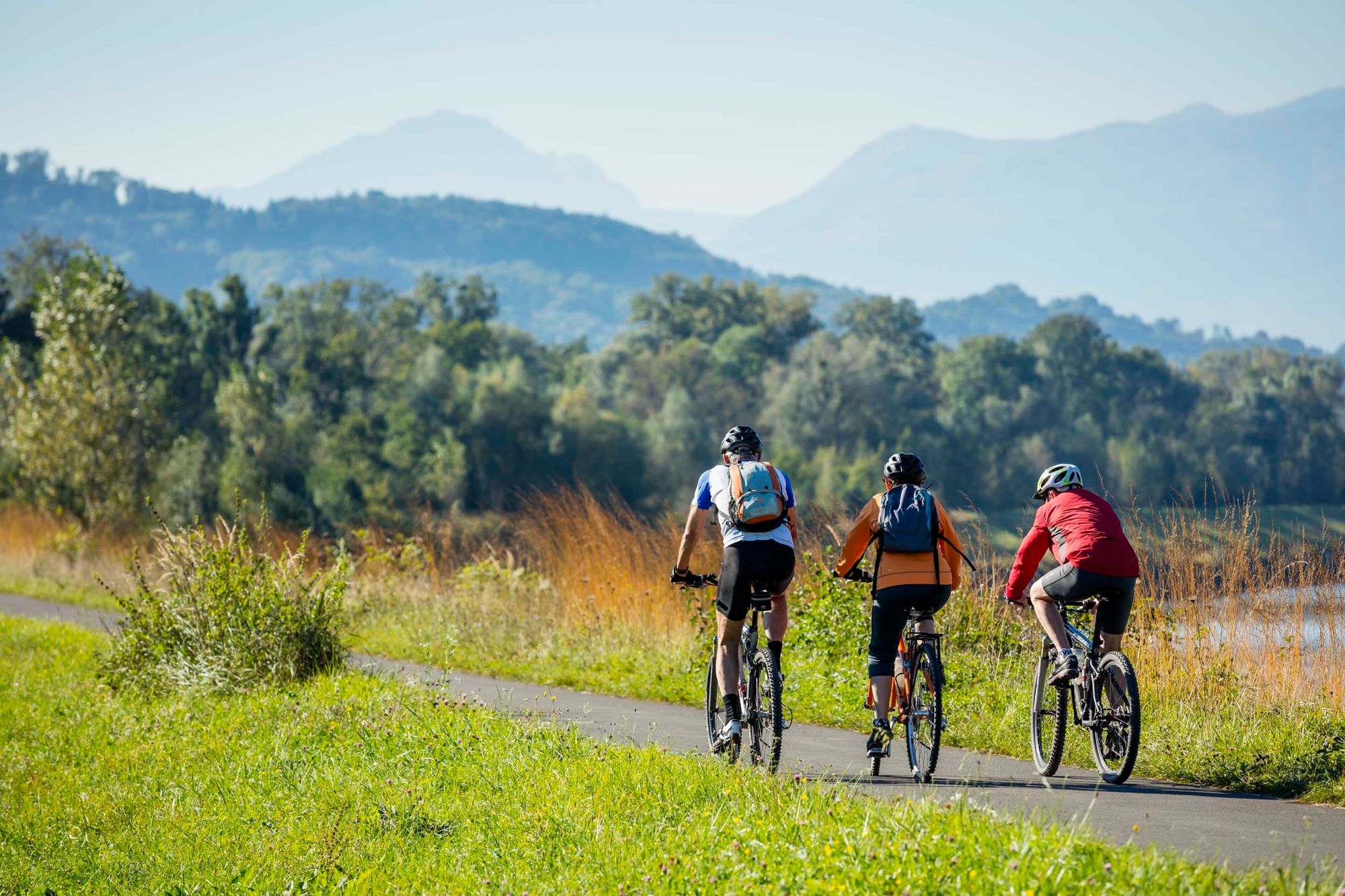
Most of the Liechtenstein Trail can be explored by bicycle and by e-bike.
- Difficoltà
-
intermedio
- Valutazione
-
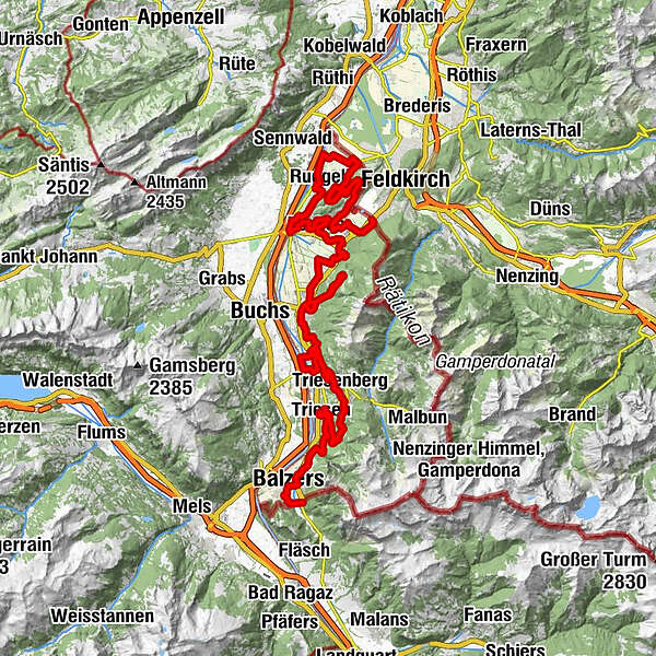
- Percorso
-
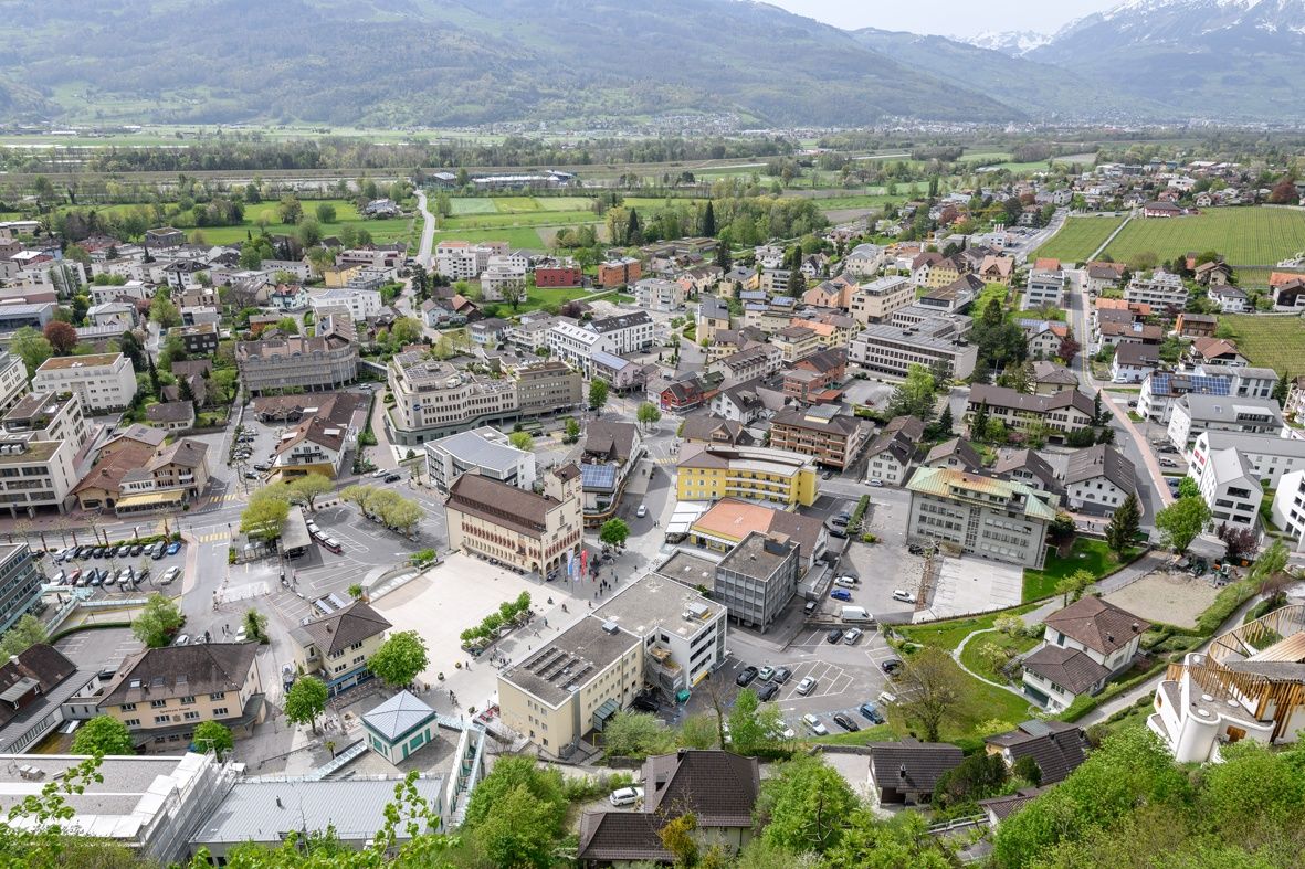
Kapelle St. Peter1,4 kmMäls1,5 kmBurg Gutenberg Kapelle2,1 kmSpielplatz Iramali2,3 kmPizzeria Ristorante La Perla2,8 kmBalzers (477 m)3,0 kmRestaurant Alte Eiche6,1 kmOberdorf9,2 kmTriesen (512 m)9,6 kmKapelle St. Maria9,7 kmSankt Mamerten11,5 kmWangerberg16,7 kmPfarrkirche Sankt Josef18,2 kmTriesenberg (884 m)18,3 kmRotenboden19,7 kmVaduz (455 m)28,4 kmEbenholz30,6 kmMühleholz31,3 kmSchaan (450 m)32,7 kmSt. Laurentiuskirche32,7 kmFriedhofskapelle St. Johannes33,0 kmVorderplanken37,3 kmSankt Josef37,5 kmPlanken (786 m)37,8 kmSchaan (450 m)41,8 kmNendeln47,0 kmSankt Sebastian und Rochus48,0 kmRestaurant Weinstube48,1 kmNendeln (447 m)48,4 kmEschen (453 m)51,8 kmRofenbergkapelle54,7 kmBendern56,4 kmLourdes Grotte56,7 kmGamprin (472 m)58,9 kmRuggell (433 m)62,5 kmRestaurant Kokon63,7 kmFeldkirch67,2 kmSchellenberg (626 m)73,0 kmSankt Georg74,2 kmHinterschellenberg74,3 kmFeldkirch74,4 kmGasthaus Weinlaube75,4 kmMauren (453 m)77,4 kmGasthaus zum Hirschen77,6 kmMai Thai77,8 kmRistorante Pizzeria Sapori81,2 kmSchaanwald82,1 kmFeldkirch82,2 km
- La stagione migliore
-
genfebmaraprmaggiulugagosetottnovdic
- Punto più alto
- 929 m
- Destinazione
-
Schaanwald
- Profilo altimetrico
-
 © outdooractive.com


-

-
AutoreIl tour Liechtenstein Trail with an E-Bike è utilizzato da outdooractive.com fornito.
GPS Downloads


Info generali
Punto di ristoro
Culturale/Storico
Promettente
Altri tour nelle regioni
-
Heidiland
155
-
Liechtenstein
73
-
Schaan
19