Round trip Graubünden Rhine Valley - Bündner Herrschaft

Bicicletta
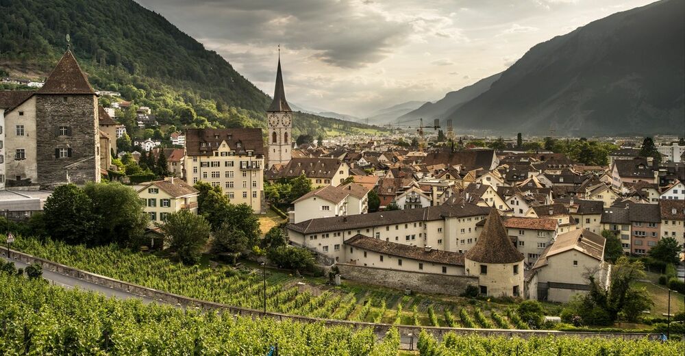
© Chur - Die Alpenstadt - Michael Christ

© Chur - Die Alpenstadt - Michael Christ

© Chur - Die Alpenstadt - Michael Christ

© Chur - Die Alpenstadt - Michael Christ

© Chur - Die Alpenstadt - Michael Christ
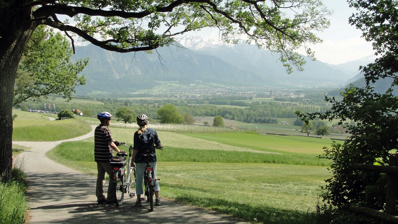
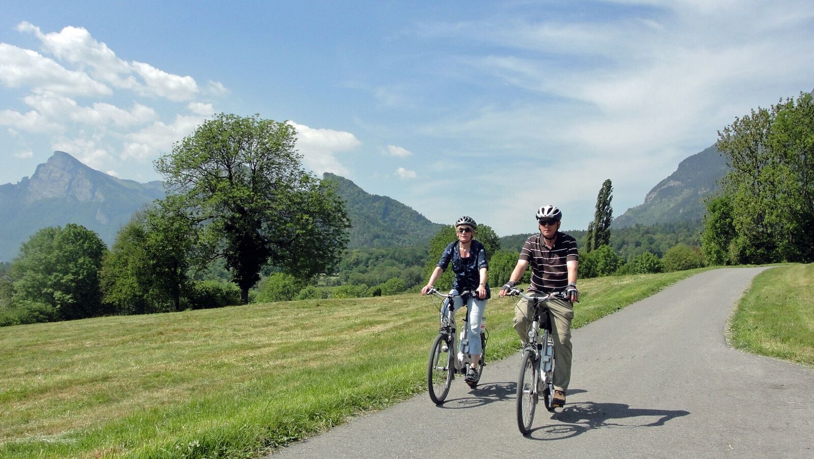
© Chur - Die Alpenstadt - Karin Bächer


- Descrizione rapida
-
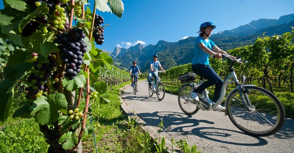
Wonderful round trip through the wine region of the Bündner Rheintal and Bündner Herrschaft.
- Difficoltà
-
intermedio
- Valutazione
-
- Percorso
-
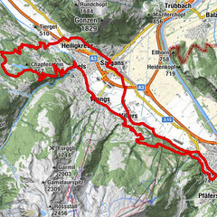
Coira (593 m)Chur (585 m)Loe Restaurant1,5 kmMasans2,5 kmTrimmis (637 m)6,4 kmKatholische Kirche Trimmis6,7 kmSportcenter Fünf Dörfer10,2 kmOberaurütenen10,4 kmZizers (561 m)12,1 kmBöfelihof13,1 kmIgis (563 m)14,7 kmErlahof15,7 kmPagolla19,1 kmGasthaus Krone20,0 kmZum Ochsen20,1 kmMalans (568 m)20,1 kmHotel Weiss Kreuz20,1 kmOberdorf20,3 kmReformierte Kirche Malans20,3 kmJenins (635 m)22,8 kmReformierte Kirche23,0 kmAmanduskirche25,5 kmMaienfeld (504 m)25,5 kmFläsch (528 m)28,2 kmBad Ragaz (502 m)31,5 kmEvangelisch-reformierte Kirche Bad Ragaz32,1 kmKatholische Kirche St. Pankraz32,3 kmBad Ragaz (516 m)32,4 kmLandquart (563 m)39,0 kmSportcenter Fünf Dörfer44,4 kmRestaurant Bahnhöfli49,9 kmHaldenstein (566 m)49,9 kmMartinskirche55,5 kmCoira (593 m)56,0 kmChur (585 m)56,1 km
- La stagione migliore
-
genfebmaraprmaggiulugagosetottnovdic
- Punto più alto
- 653 m
- Destinazione
-
Chur, train station
- Profilo altimetrico
-
 © outdooractive.com


-

-
AutoreIl tour Round trip Graubünden Rhine Valley - Bündner Herrschaft è utilizzato da outdooractive.com fornito.
GPS Downloads


Info generali
Punto di ristoro
Culturale/Storico
Flora
Promettente