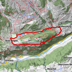
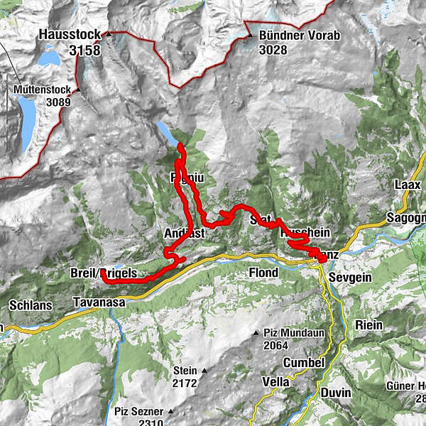
Stage 2 Gravel Bike Route Anterior Rhine: Ilanz – Lag Pigniu – Brigels

Bicicletta
© Graubünden Ferien - tolisart.com
© Graubünden Ferien - tolisart.com
© Graubünden Ferien - tolisart.com
© Graubünden Ferien - tolisart.com
© Graubünden Ferien - tolisart.com
- Descrizione rapida
-
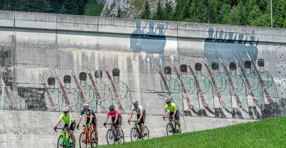
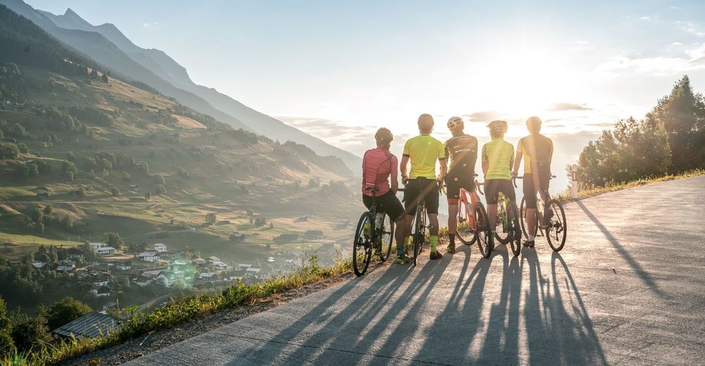
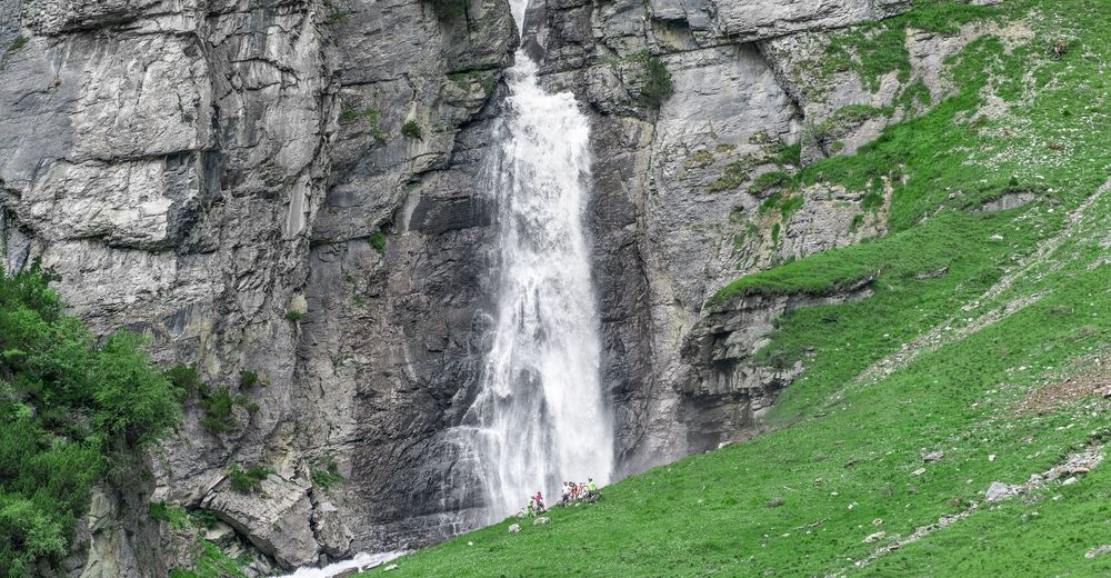
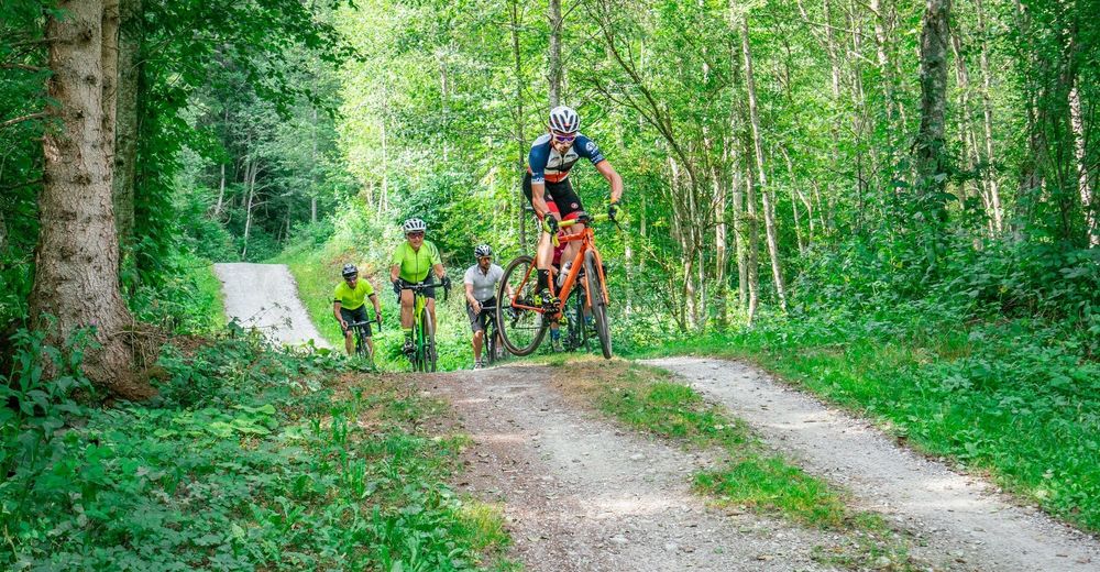
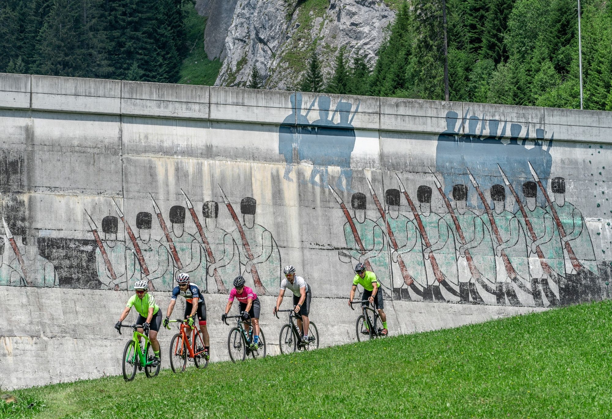
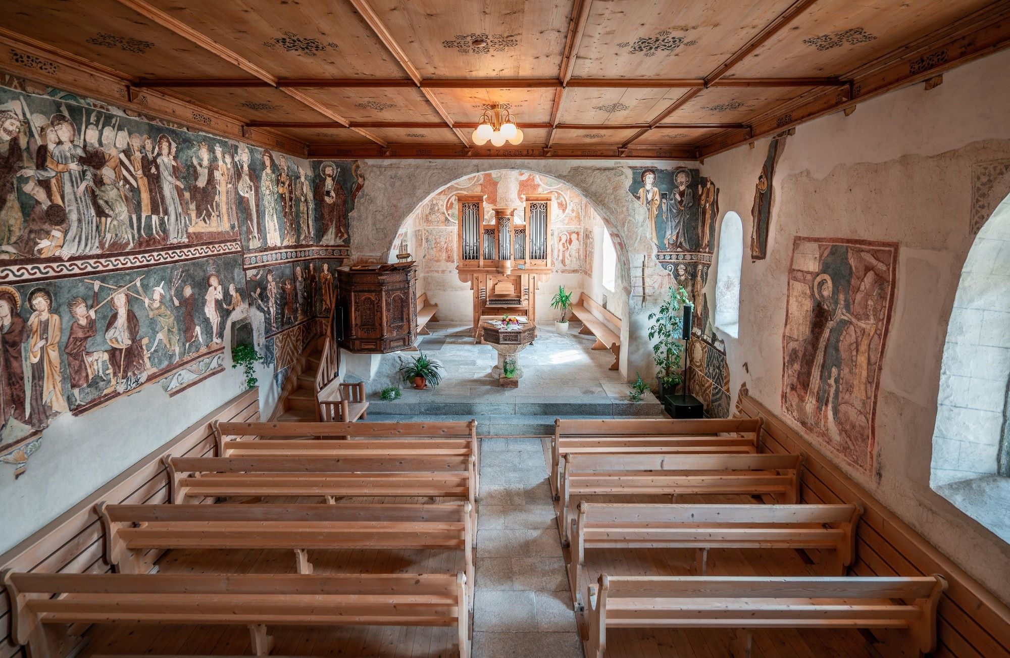
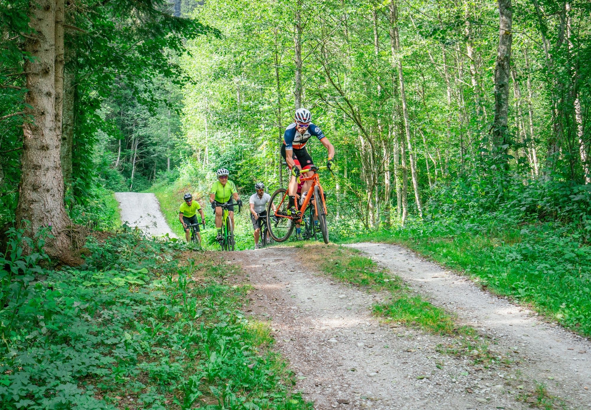
The gravel tour through the Surselva to Disentis-Sedrun and the Maighelshütte promises not only an exciting journey of discovery, but also a journey through the largest Romansh-speaking area of Graubünden to the source of the Rhine.
- Difficoltà
-
intermedio
- Valutazione
-
- Percorso
-
Katholische Pfarrkirche Maria Himmelfahrt0,2 kmIlanz (702 m)0,3 kmLa Lutta0,6 kmQui1,2 kmCrusch Clis4,0 kmSogn Gieri4,5 kmRuschein (1.155 m)4,8 kmSogn Glieci chapel7,6 kmSeth (1.296 m)8,0 kmKath. Pfarrkirche S. Florinus8,0 kmDalpaleus9,2 kmCuolm Dadens9,7 kmValsins Sura13,0 kmSut Resgia15,6 kmSogn Valentin Pigniu15,7 kmAlpina15,8 kmPanix (1.301 m)15,9 kmCasa Vedra16,0 kmSur Vischnaunca16,0 kmCuolm Dadens19,5 kmPanix (1.301 m)20,7 kmTscheppa21,3 kmPrauscharun21,7 kmPattadiras22,5 kmSt. Julitta und St. Quiricus23,8 kmKapelle Sogn Antoni von Padua24,1 kmAndiast (1.178 m)24,1 kmSur Begls24,3 kmPostigliun24,3 kmCurtginet (1.102 m)25,5 kmUstria Curtginet25,6 kmWaltensburg (1.003 m)26,7 kmBrigels (1.280 m)31,5 kmS. Maria31,6 km
- La stagione migliore
-
genfebmaraprmaggiulugagosetottnovdic
- Punto più alto
- 1.492 m
- Destinazione
-
Brigels
- Profilo altimetrico
-
 © outdooractive.com


-

-
AutoreIl tour Stage 2 Gravel Bike Route Anterior Rhine: Ilanz – Lag Pigniu – Brigels è utilizzato da outdooractive.com fornito.
GPS Downloads


Altri tour nelle regioni
-
Glarnerland
143
-
Obersaxen Mundaun
67
-
Waltensburg
31