
- Descrizione rapida
-
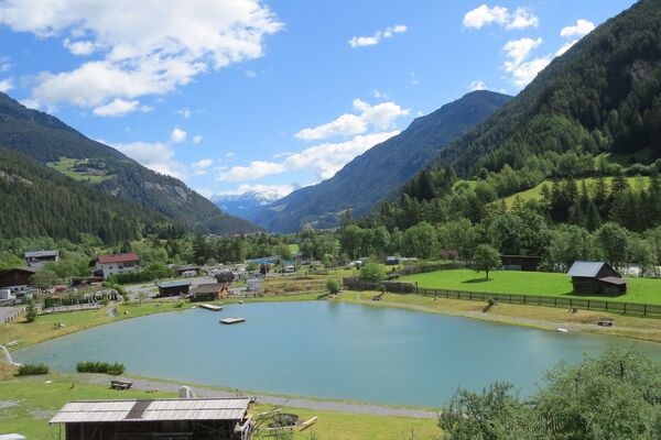
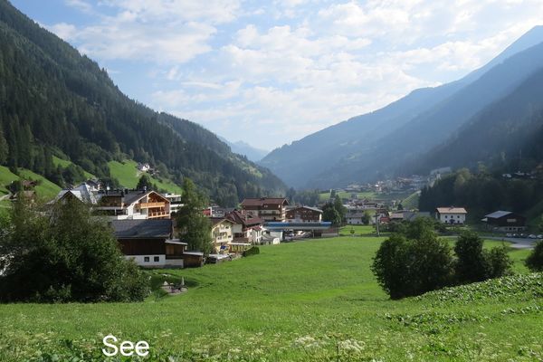
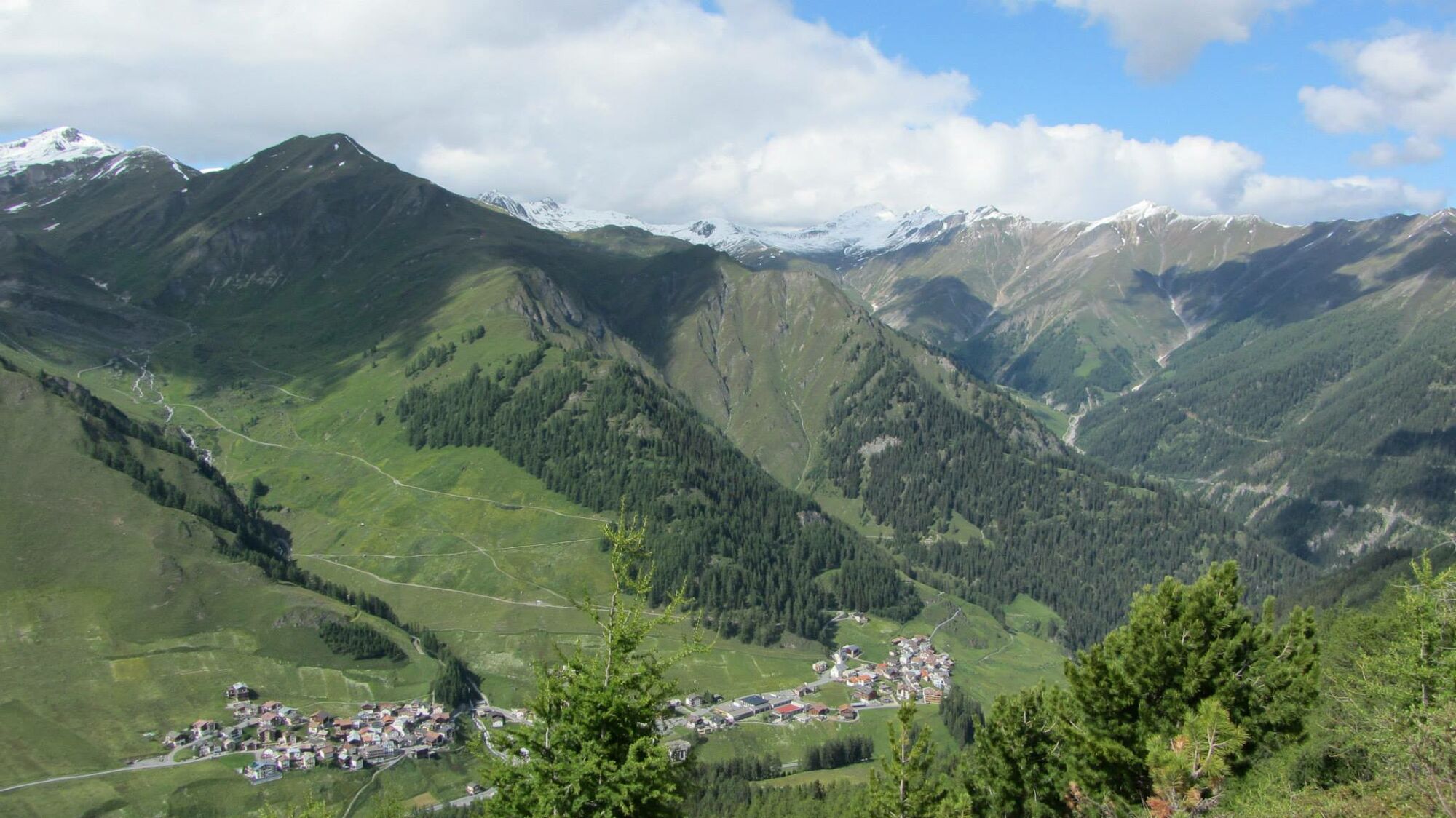
High altitude hike on the sunny side of the Samnaun valley.
- Difficoltà
-
facile
- Valutazione
-
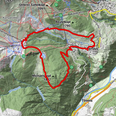
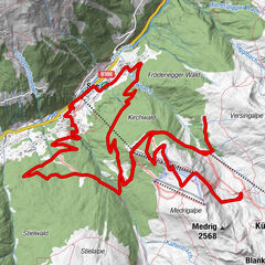
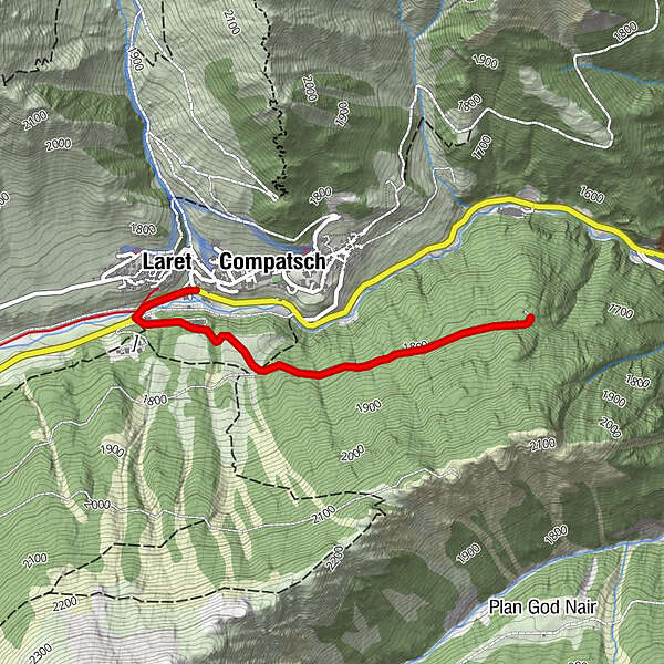
- Percorso
-
Compatsch (1.715 m)Laret (1.731 m)0,1 km
- La stagione migliore
-
genfebmaraprmaggiulugagosetottnovdic
- Punto più alto
- 1.828 m
- Destinazione
-
PostBus stop Samnaun-Laret, Abzweigung
- Profilo altimetrico
-
 © outdooractive.com
- Autore
-
Il tour Samnaun-Laret – Mot Grond è utilizzato da outdooractive.com fornito.
GPS Downloads


Info generali
Promettente