Lenzerheide - Arosa - Chur (Culmet & Welschtobel)

Mountainbike
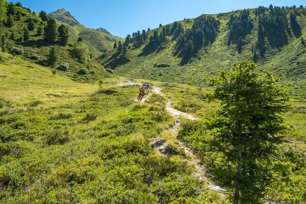
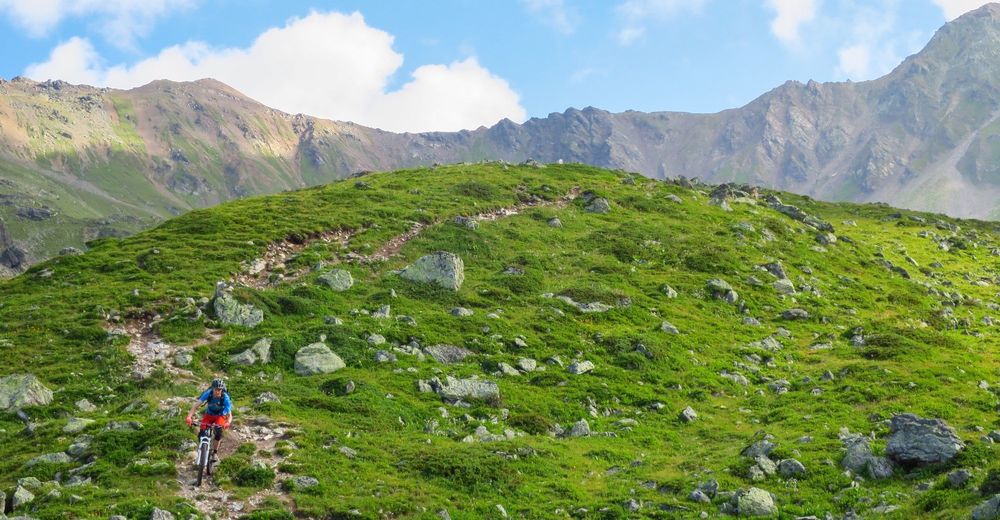
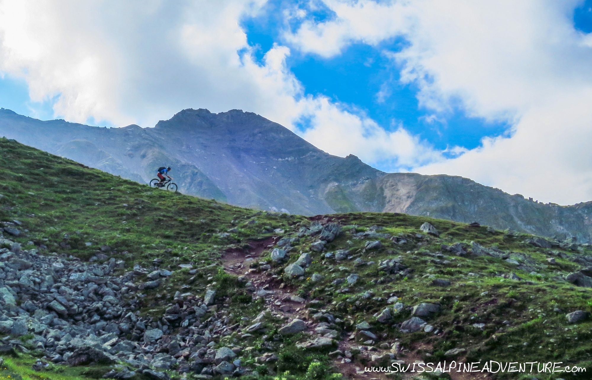
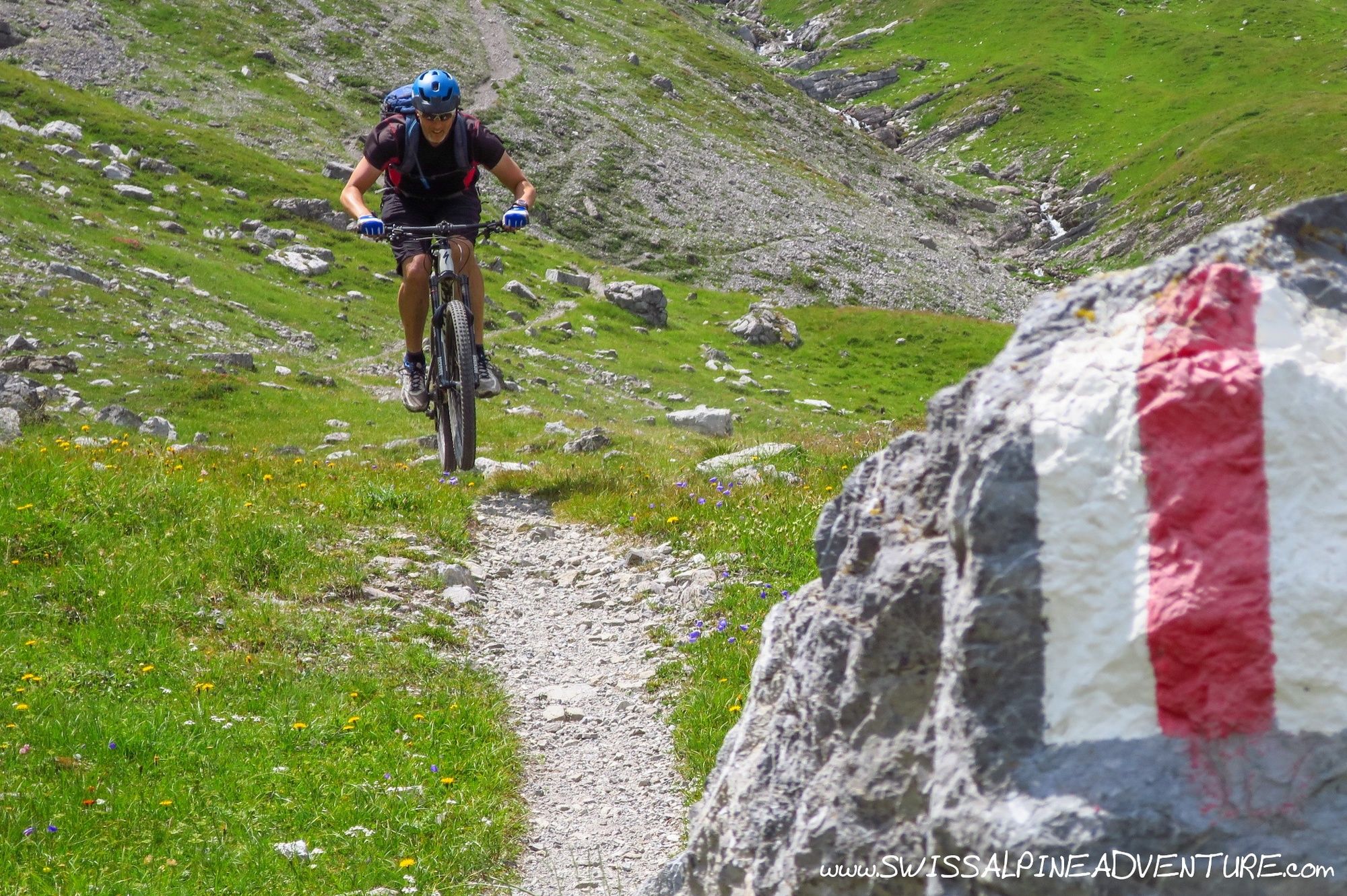
© Swiss Alpine Adventure - Dave O'Riordan

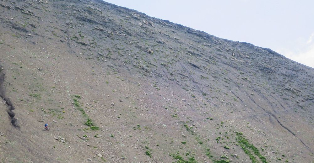
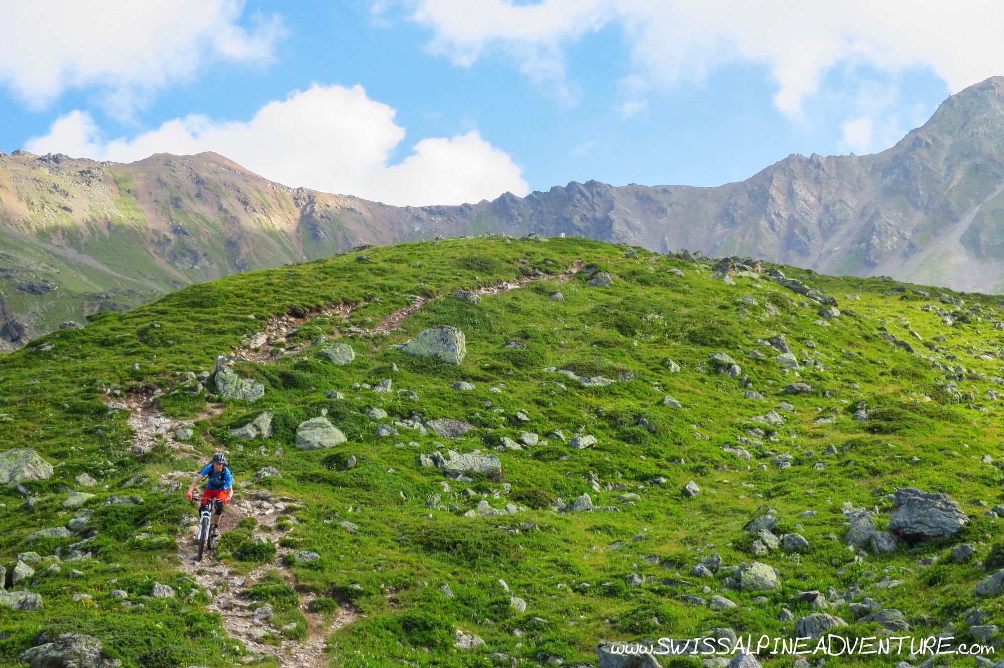
© Swiss Alpine Adventure - Dave O'Riordan
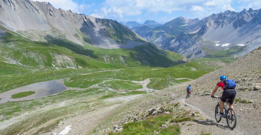
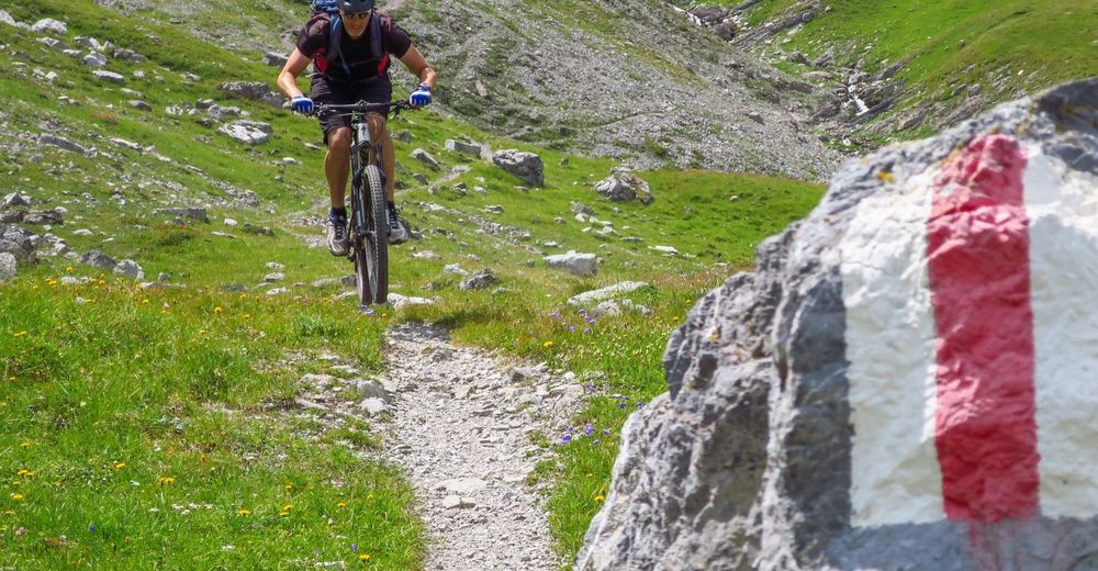
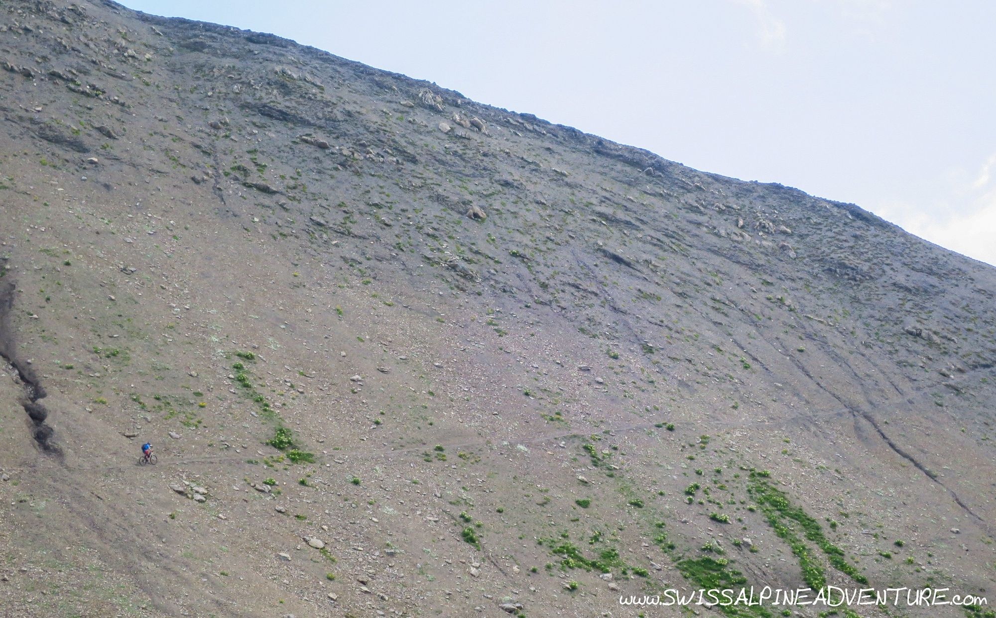
© Swiss Alpine Adventure - Dave O'Riordan
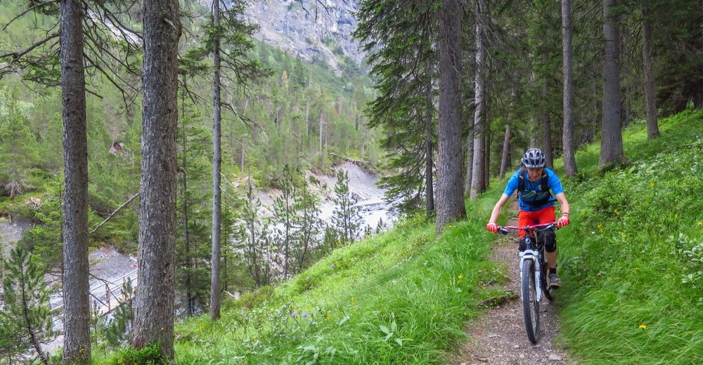
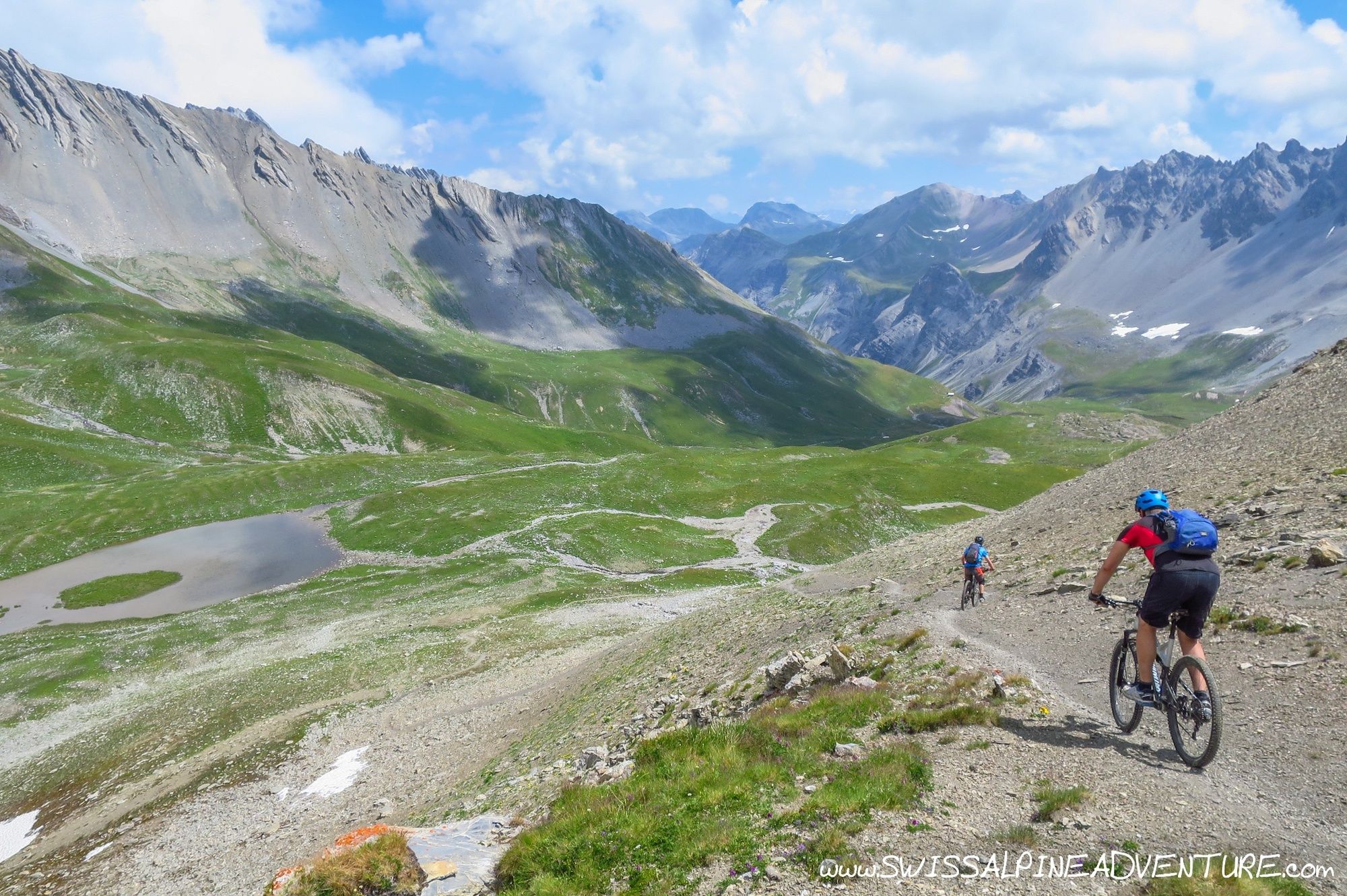
© Swiss Alpine Adventure - Dave O'Riordan
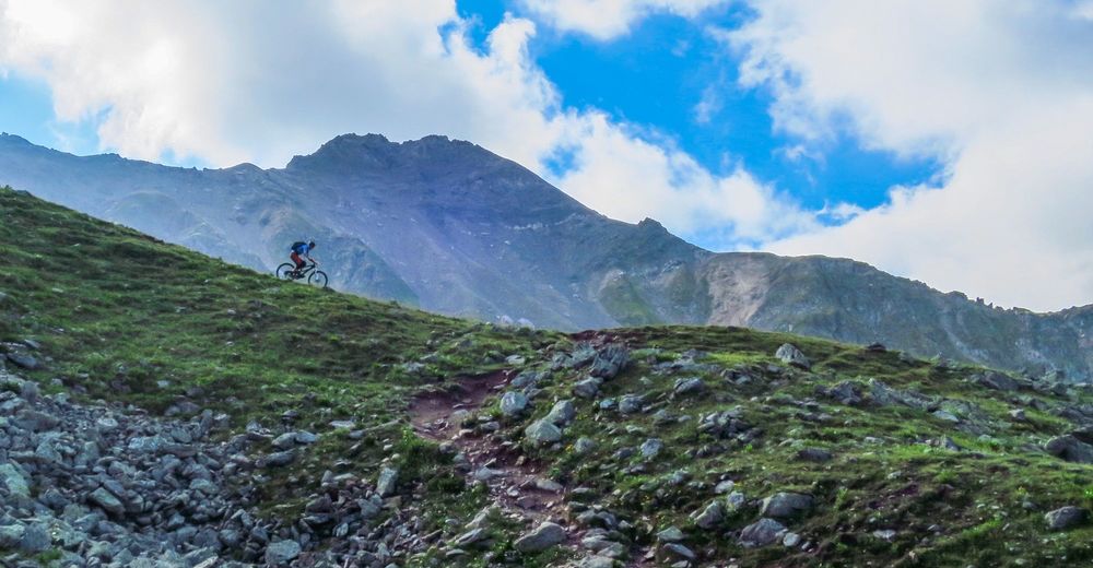
© Swiss Alpine Adventure - Dave O'Riordan

© Swiss Alpine Adventure - Dave O'Riordan
© Swiss Alpine Adventure - Dave O'Riordan
© Swiss Alpine Adventure - Dave O'Riordan

- Descrizione rapida
-
A relatively physical tour with one of the best alpine singletrails in Graubünden as the reward for a 1.5 to 2 hour hike-a-bike.
- Difficoltà
-
difficile
- Valutazione
-
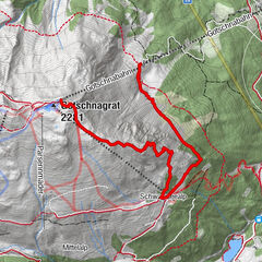
- Percorso
-
Restaurant am Parpaner Rothorn0,0 kmRothorn (2.857 m)0,0 kmCulmet (2.615 m)6,6 kmArosa (1.739 m)18,2 kmDorfkirche Arosa18,6 kmInnerarosa (1.820 m)20,0 kmHörnligrat (2.500 m)23,4 kmTschiertschen (1.343 m)32,6 kmBergrestaurant Furgglis34,9 kmUndersäss36,6 kmPraden38,5 kmAusserpraden39,3 kmGrida (942 m)42,5 kmPassugg43,3 kmMeiersboden44,1 kmAraschgen45,0 kmKapelle Alterssiedlung Bodmer45,9 kmCoira (593 m)47,1 kmChur (585 m)47,2 km
- La stagione migliore
-
genfebmaraprmaggiulugagosetottnovdic
- Punto più alto
- 2.835 m
- Destinazione
-
Lenzerheide, Rothorn Valley Station
- Profilo altimetrico
-
 © outdooractive.com


-

-
AutoreIl tour Lenzerheide - Arosa - Chur (Culmet & Welschtobel) è utilizzato da outdooractive.com fornito.
GPS Downloads


Percorsi
Trial
Info generali
Punto di ristoro
Suggerimento
Promettente
Altri tour nelle regioni
-
Heidiland
336
-
Arosa Lenzerheide
259
-
Tschiertschen-Praden
98