© Unbekannt

© Graubünden
- Descrizione rapida
-
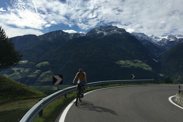
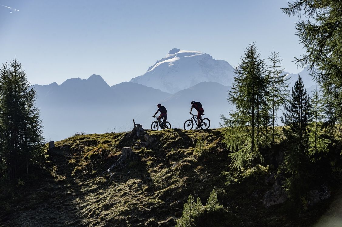
The mountain bike season can be extended on the southern slopes of the Val Müstair, even if there is already snow or still snow in other regions. The tour to Alp Tabladatsch offers everything that a great bike tour should: the best views, long and flowing trails and a pleasant ascent.
- Difficoltà
-
intermedio
- Valutazione
-
- Percorso
-
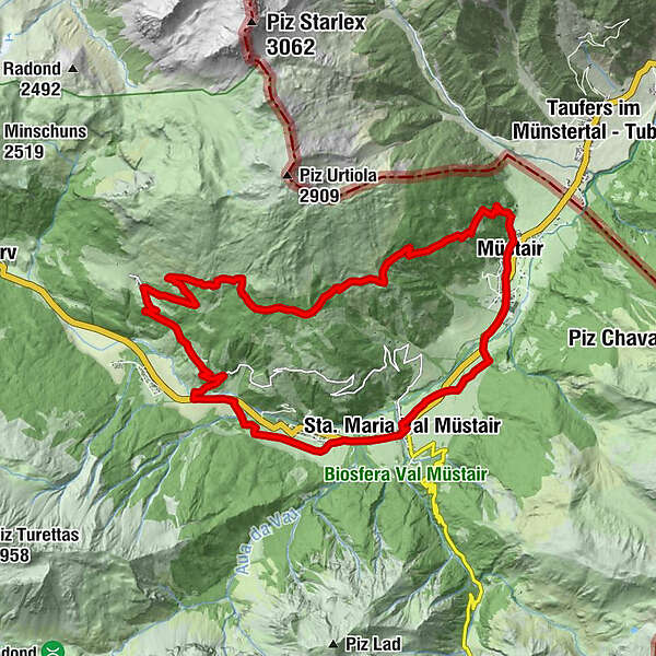
Sta. Maria Val Müstair (1.375 m)0,1 kmReformierte Kirche Santa Maria0,2 kmHotel Stelvio0,2 kmValcava (1.440 m)1,1 kmReformierte Kirche1,2 kmFurom3,9 kmLüsai5,6 kmLü (1.920 m)7,4 kmReformierte Kirche7,5 kmValmorain10,3 kmLa Cuort18,4 kmMüstair (1.273 m)18,5 kmBalcun At18,5 kmSomvi19,0 kmLiun19,1 kmSielva21,3 kmSta. Maria Val Müstair (1.375 m)22,4 km
- La stagione migliore
-
genfebmaraprmaggiulugagosetottnovdic
- Punto più alto
- 2.236 m
- Destinazione
-
Sta. Maria
- Profilo altimetrico
-
 © outdooractive.com

-

-
AutoreIl tour Alp Tabladatsch è utilizzato da outdooractive.com fornito.
GPS Downloads


Info generali
Promettente
Altri tour nelle regioni
-
Vinschgau
188
-
Biosfera Val Müstair
144
-
Valchava
43