© Destination Davos Klosters - Christian Egelmaier
© Davos Klosters Bergbahnen
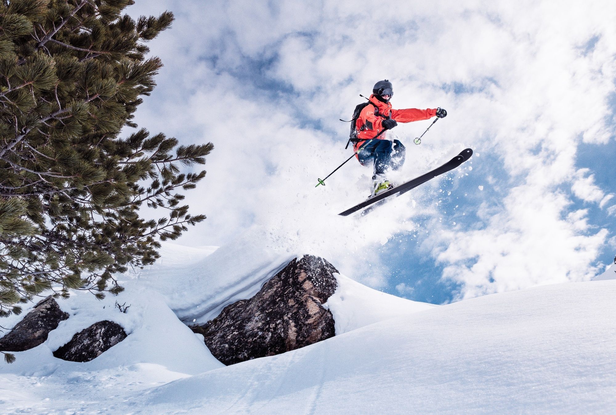
© Three Piece Media Production - Axel Adolfsson
© Three Piece Media Production - Axel Adolfsson
© Three Piece Media Production - Axel Adolfsson
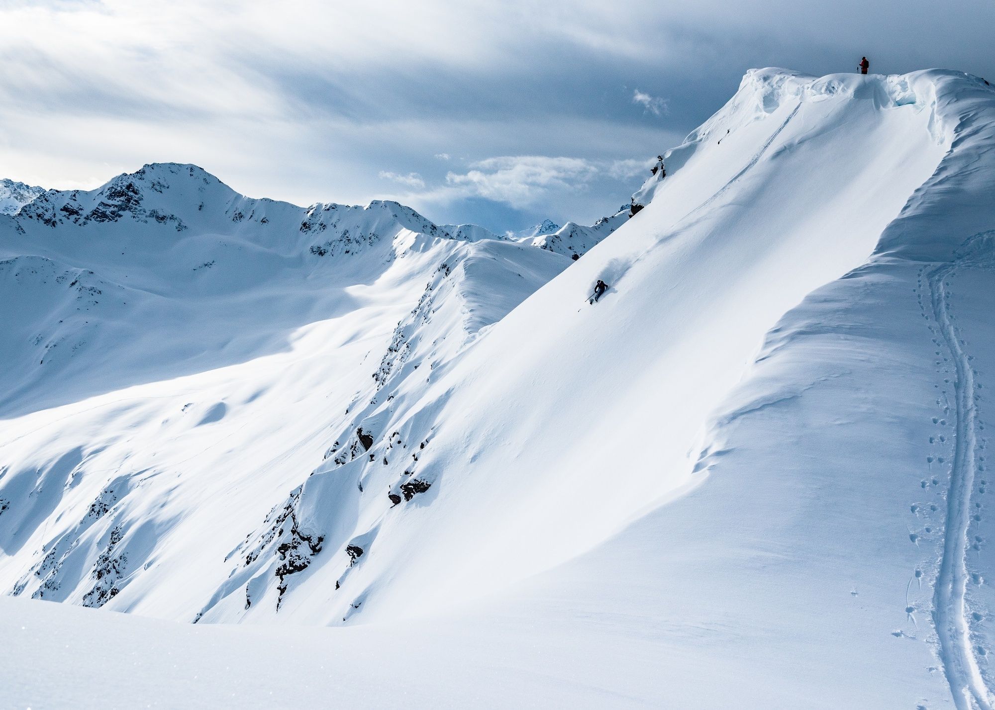
© Three Piece Media Production - Axel Adolfsson


- Descrizione rapida
-
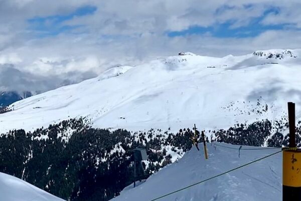
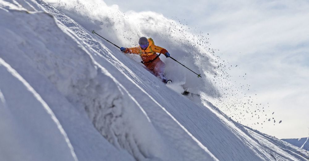
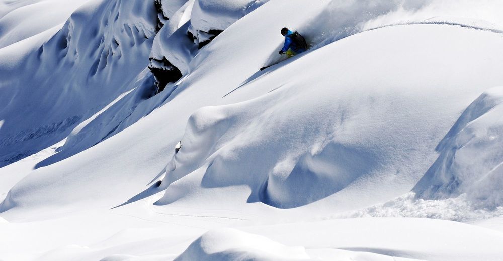
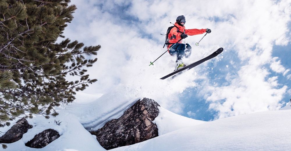
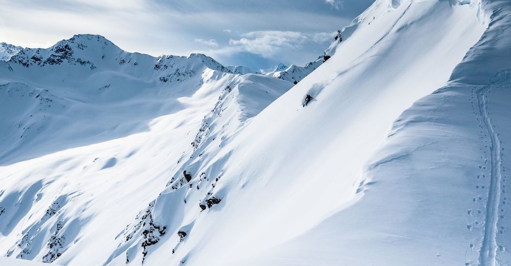
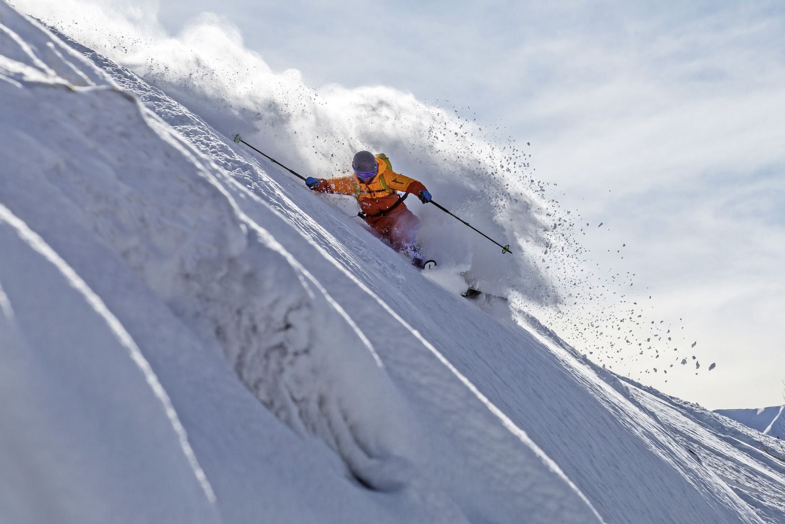
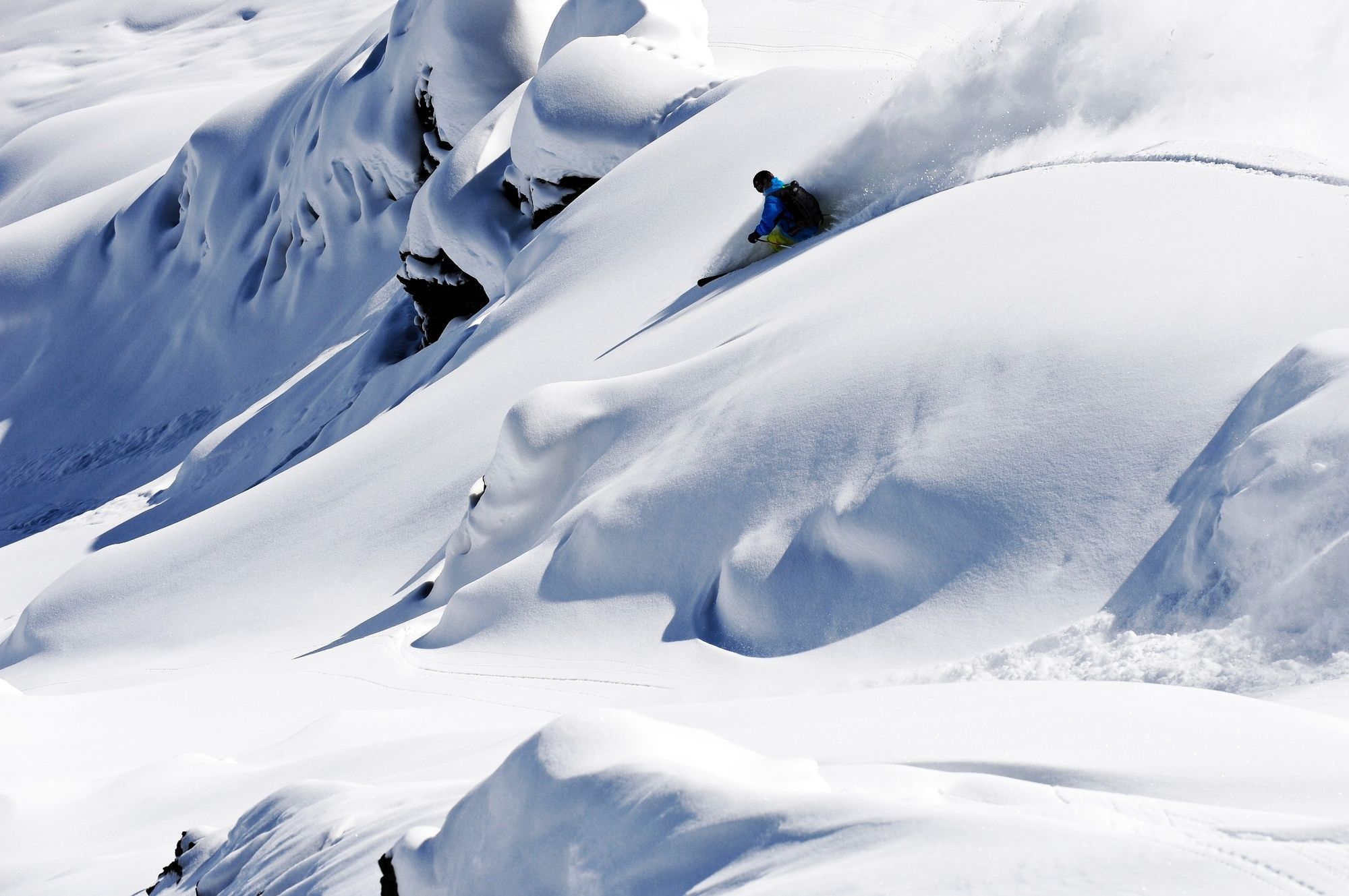
The Funi Line lives up to its name. Only here you will find this day trip, which connects all secured but unprepared and uncontrolled slopes. No ascent, just pulling new lines, just enjoying the fresh powder downhill - that's what awaits you on the line. Available from the end of December.
- Difficoltà
-
intermedio
- Valutazione
-
- Percorso
-
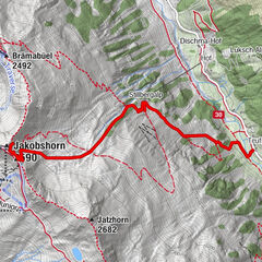
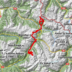
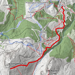
Davos (1.560 m)Mittelausstieg0,4 kmJschalp1,0 kmIschalp (1.931 m)1,0 kmJakobshorn (2.590 m)2,1 kmJakobshorn (Clavadelerberg)2,1 kmFrauenkirch (1.505 m)10,3 kmFrauenkirch (1.505 m)10,7 kmRestaurant Mühle Glaris12,4 kmBlockhuus13,0 kmHubelhütte13,1 kmDavos Glaris (1.454 m)13,1 kmRiederalp14,5 kmJatzmäder (2.054 m)15,4 kmRestaurant Spina21,2 kmSpina (1.587 m)21,3 kmDavos Glaris (1.454 m)21,7 kmHubelhütte21,7 kmBlockhuus21,8 kmRestaurant Mühle Glaris22,4 kmGadastatt23,1 kmFrauenkirch (1.505 m)23,7 kmPauluskirche27,5 kmDavos (1.560 m)27,6 kmJschalp28,9 kmTeufi (1.700 m)34,3 kmHof35,3 kmDischma-Hof35,5 kmDischma36,0 kmDavos (1.560 m)38,5 kmSolaria38,5 kmDavos Dorf38,9 kmDavos Dorf (Parsennbahn) (1.556 m)39,3 kmRestaurant Höhenweg41,5 kmHöhenweg (2. Sekt. Talst.) (2.218 m)41,5 kmHöhenweg41,5 kmWeissfluhjoch (2.663 m)42,3 kmWeissfluhgipfel (2.844 m)42,6 kmWeissflue (2.843 m)42,7 kmDer Gipfel42,7 kmHauptertäli45,4 kmWasserscheide46,4 km
- La stagione migliore
-
agosetottnovdicgenfebmaraprmaggiulug
- Punto più alto
- 2.818 m
- Destinazione
-
Parsenn lower terminus
- Profilo altimetrico
-
 © outdooractive.com
- Autore
-
Il tour Funi Line è utilizzato da outdooractive.com fornito.
GPS Downloads


Info generali
Punto di ristoro
Suggerimento
Promettente
Altri tour nelle regioni