© Graubünden Ferien - Marco Hartmann


© Arosa Lenzerheide - Arosa Tourismus


- Descrizione rapida
-
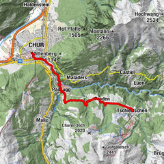
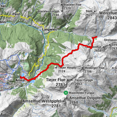
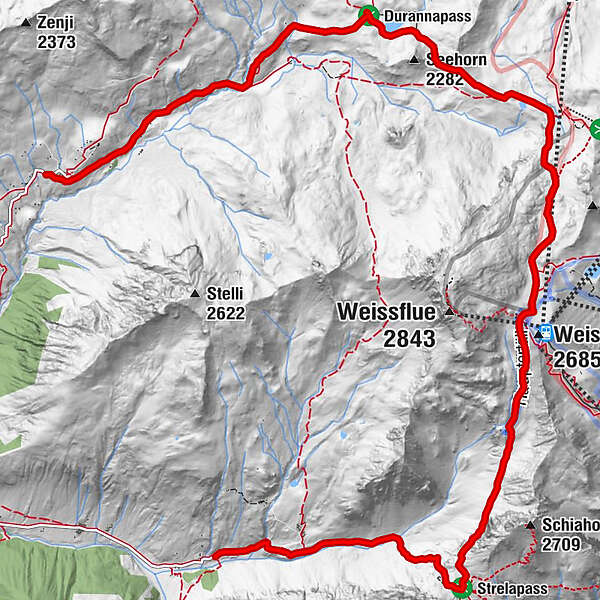
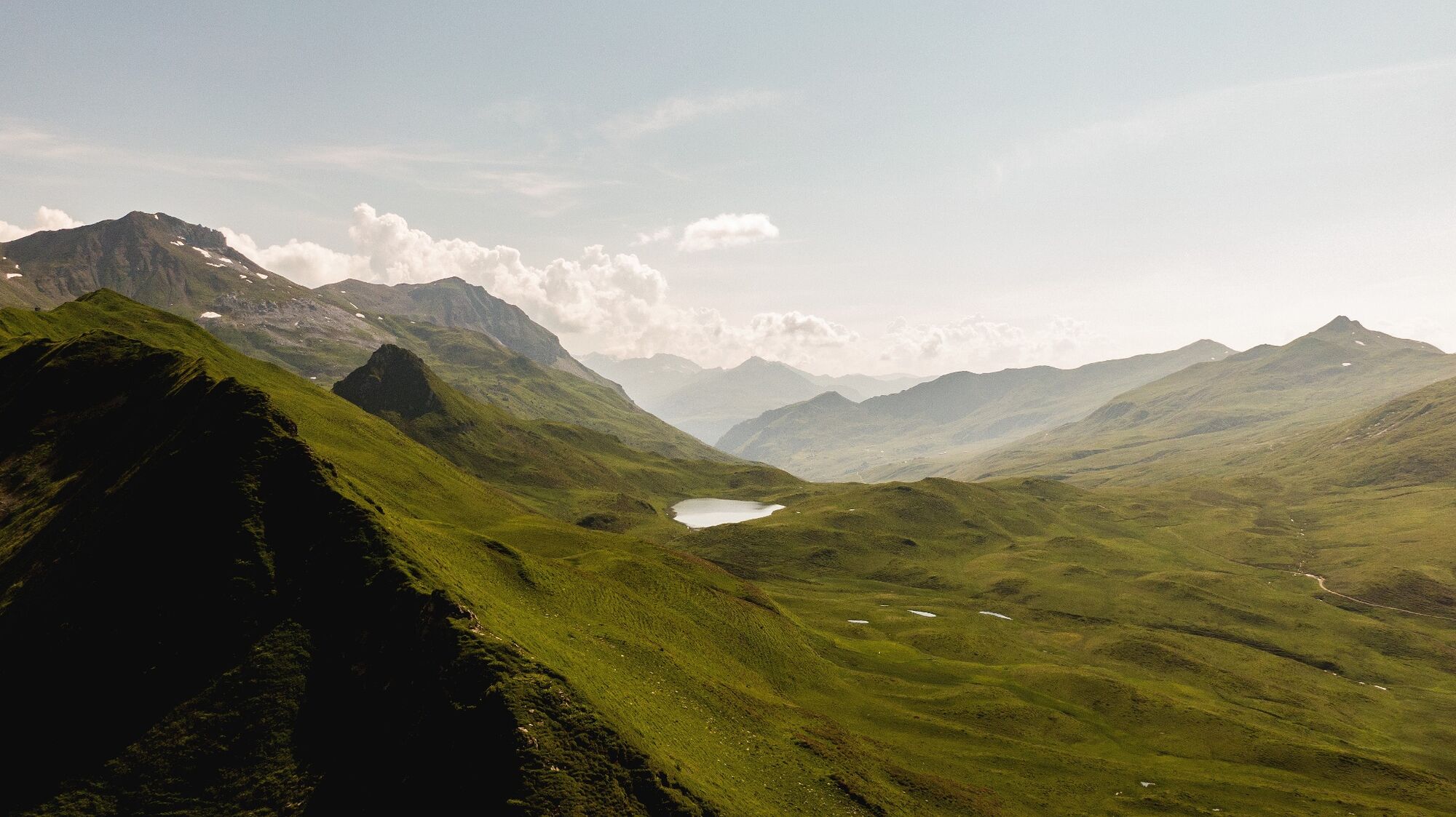
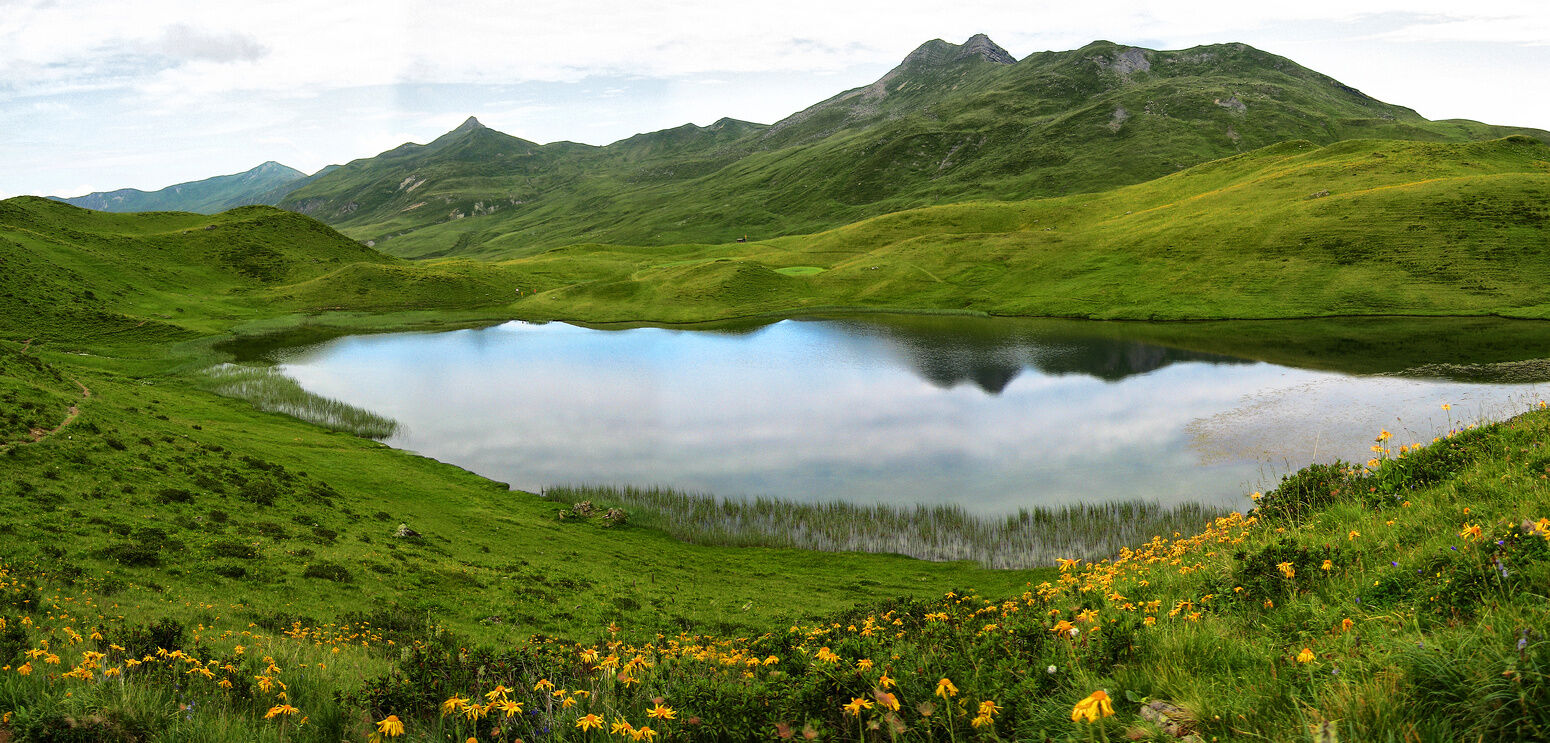
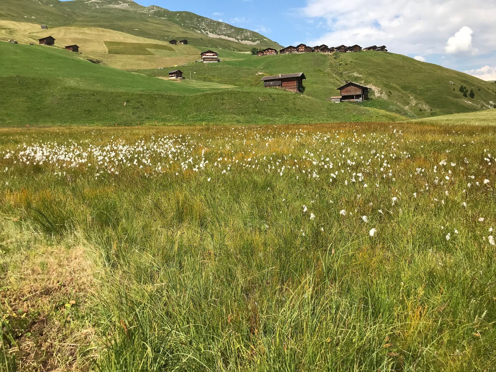
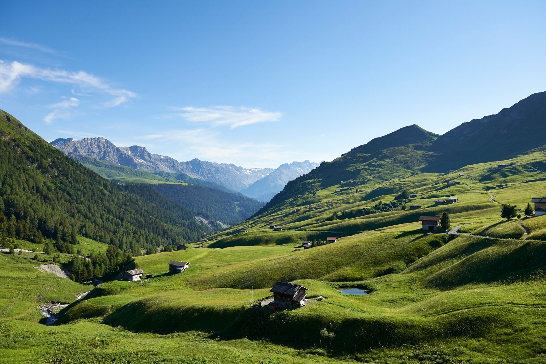
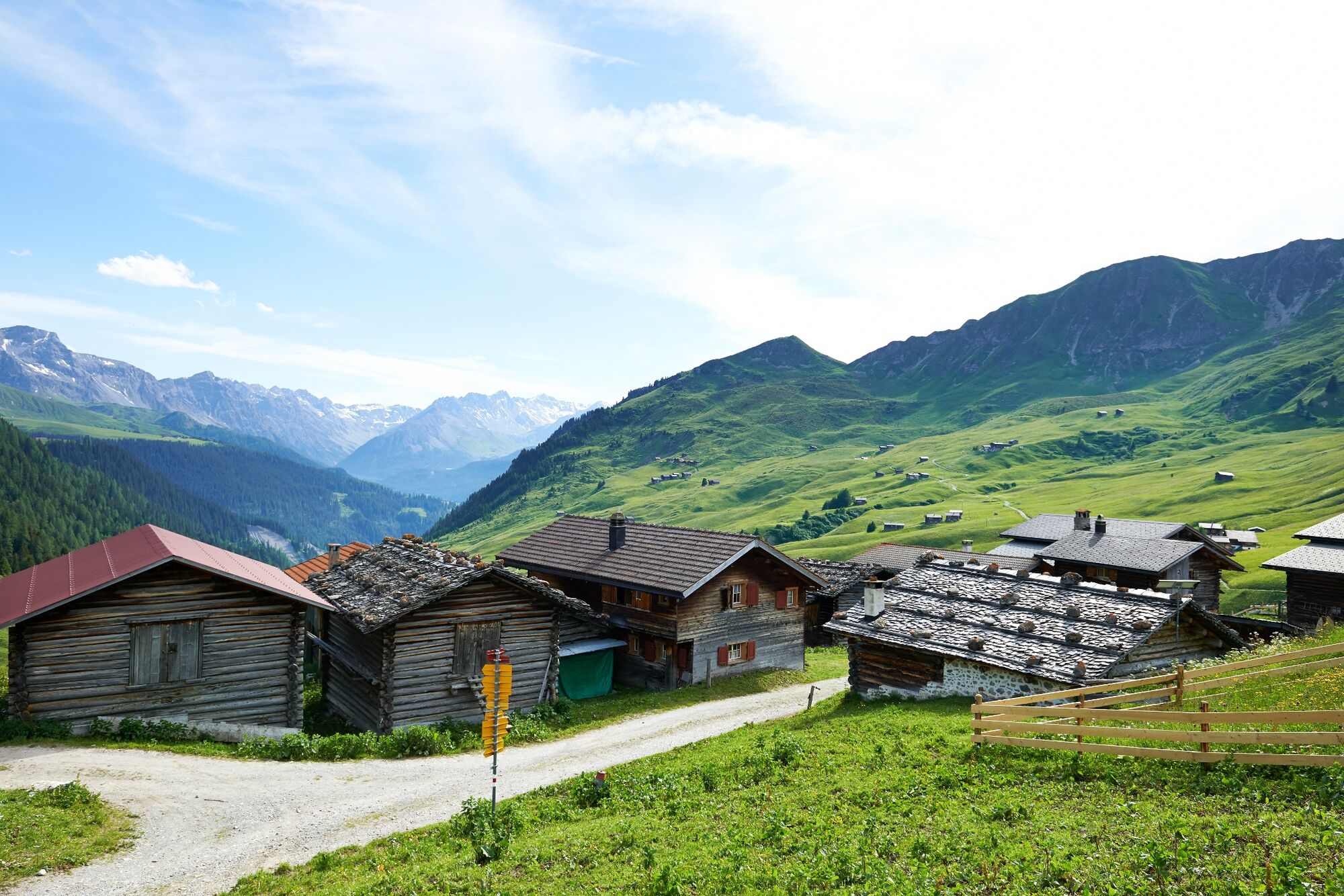
Challenging mountain hike: Strelapass, rocky path, panoramic views into Prättigau, the picturesque Grünsee lake on the Durannapass - all this awaits hikers on the way to Fondei.
- Difficoltà
-
difficile
- Valutazione
-
- Percorso
-
Jatz (1.831 m)Berggasthaus Heimeli0,0 kmStrela-Pass2,9 kmStrelapass2,9 kmBarga (1.994 m)10,8 kmReckholdern (1.960 m)11,7 kmBim Neue Hus12,6 kmStrassberg (1.919 m)13,2 km
- La stagione migliore
-
genfebmaraprmaggiulugagosetottnovdic
- Punto più alto
- 2.622 m
- Destinazione
-
Strassberg
- Profilo altimetrico
-
 © outdooractive.com
- Autore
-
Il tour Schanfigger Höhenweg, 4th route, Sapün - Fondei è utilizzato da outdooractive.com fornito.
GPS Downloads


Info generali
Punto di ristoro
Suggerimento
Flora
Fauna
Promettente
Altri tour nelle regioni
-
Davos Klosters
927
-
Davos Schatzalp
215