© Arosa Lenzerheide - Anina Flüeler
© Graubünden Ferien - Marco Hartmann

© Graubünden Ferien - Marco Hartmann

© Graubünden Ferien - Marco Hartmann

© Graubünden Ferien - Marco Hartmann

© Graubünden Ferien - Marco Hartmann

© Arosa Tourismus

© Arosa Lenzerheide - Arosa Tourismus

© Arosa Lenzerheide - Anina Flüeler

© Arosa Lenzerheide - Arosa Tourismus


- Descrizione rapida
-
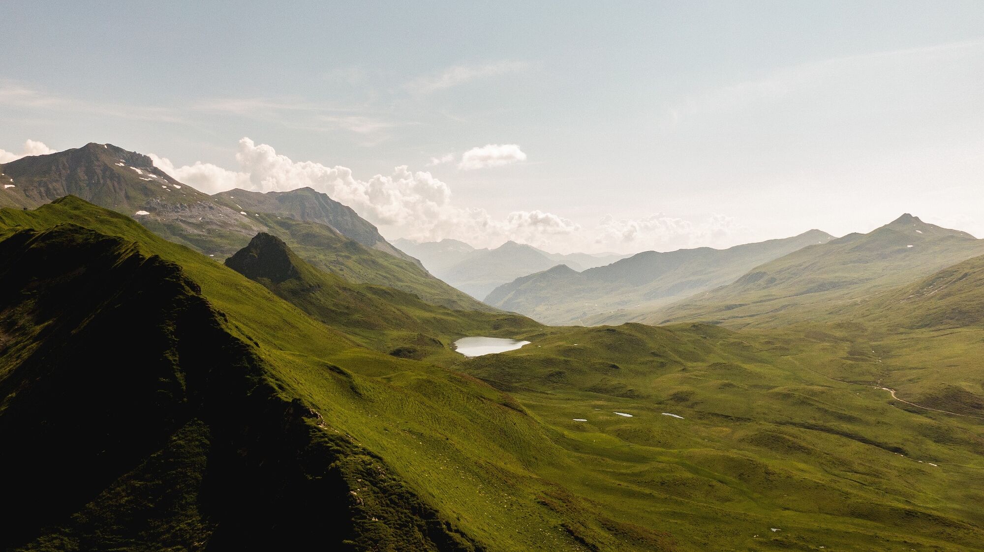
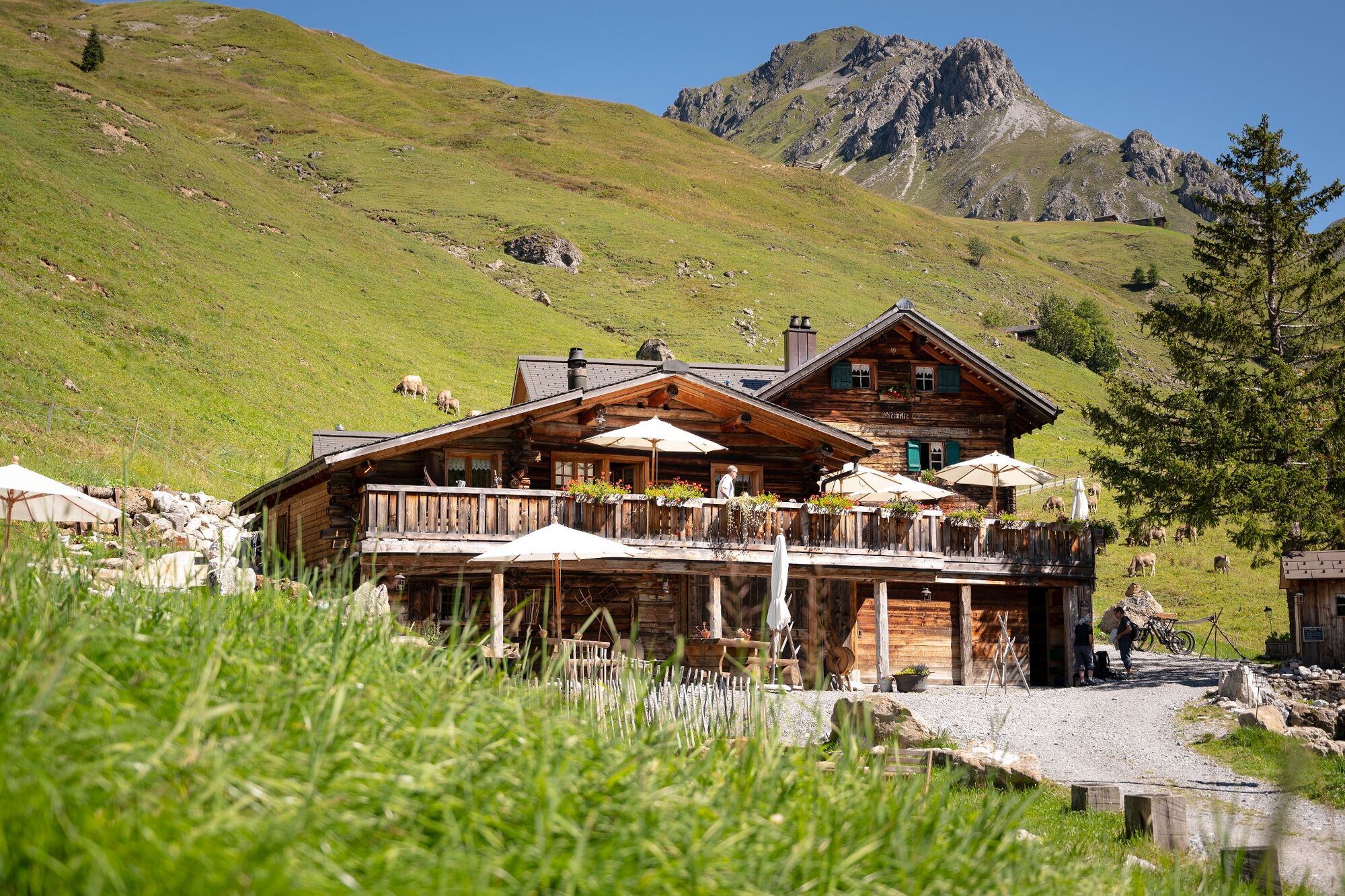
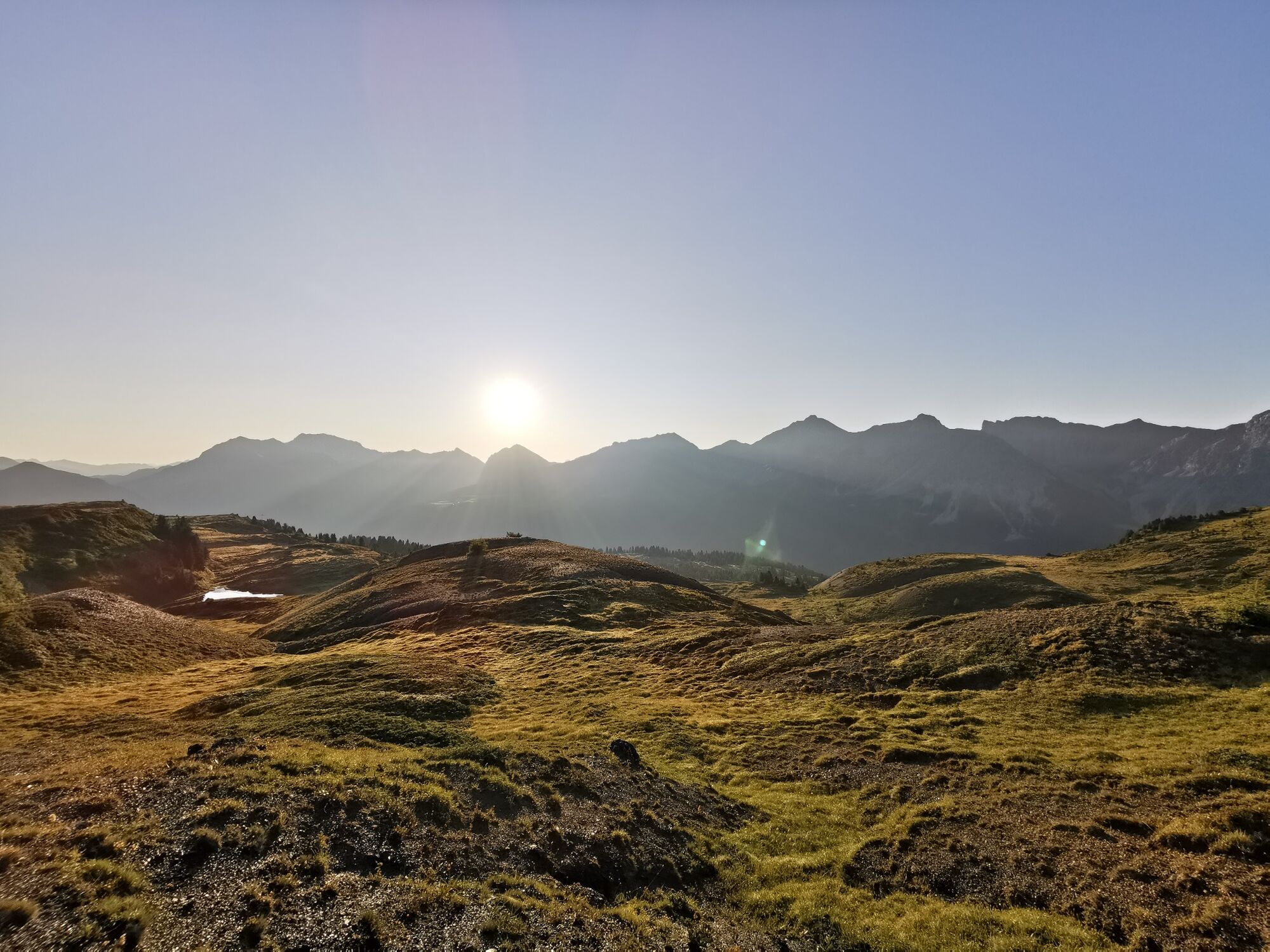
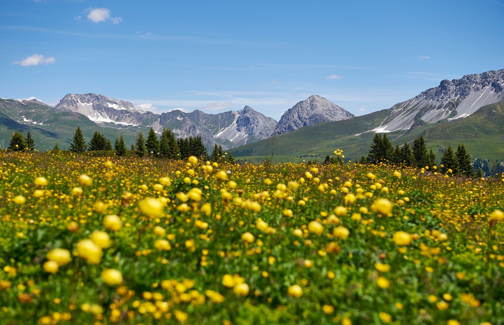
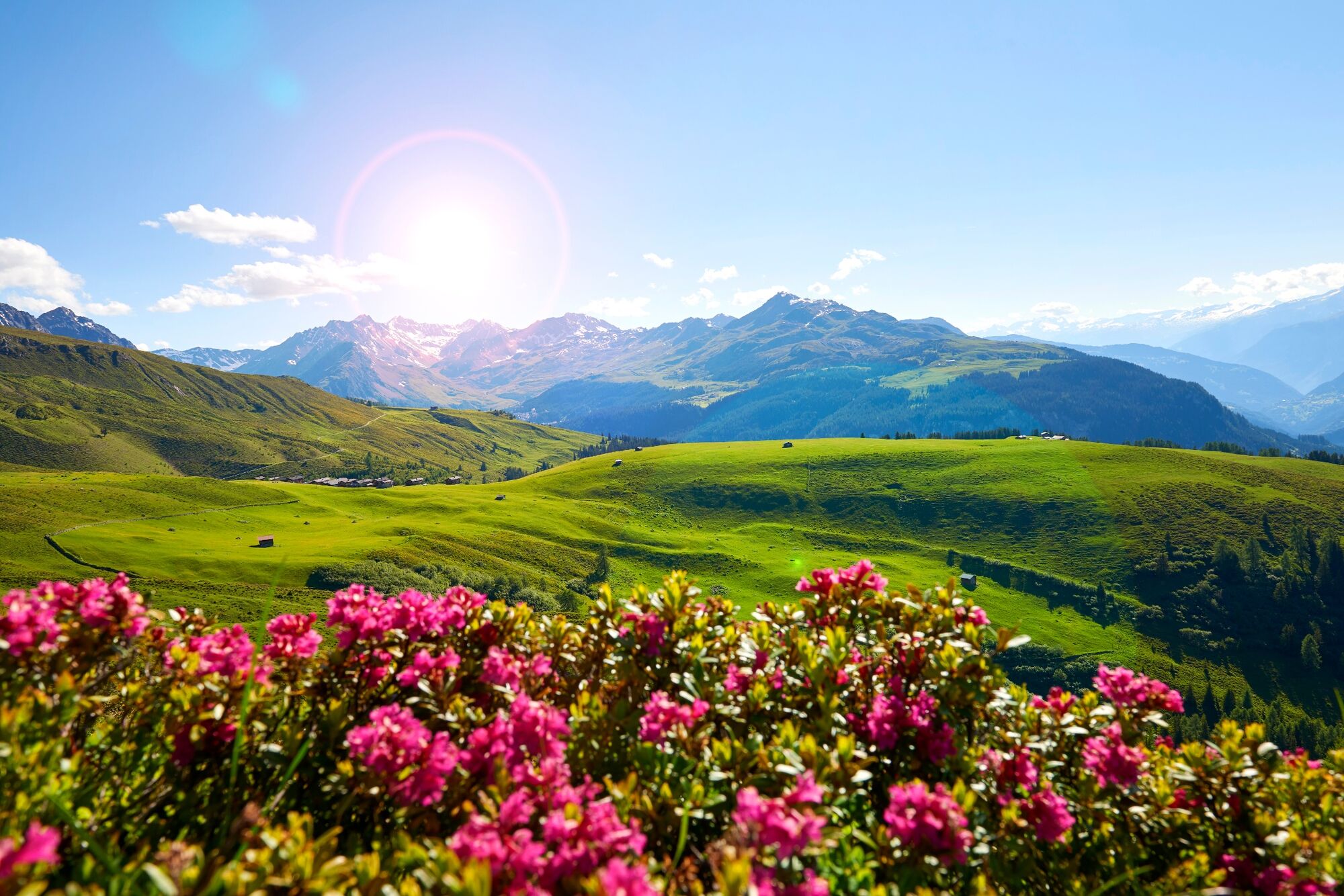
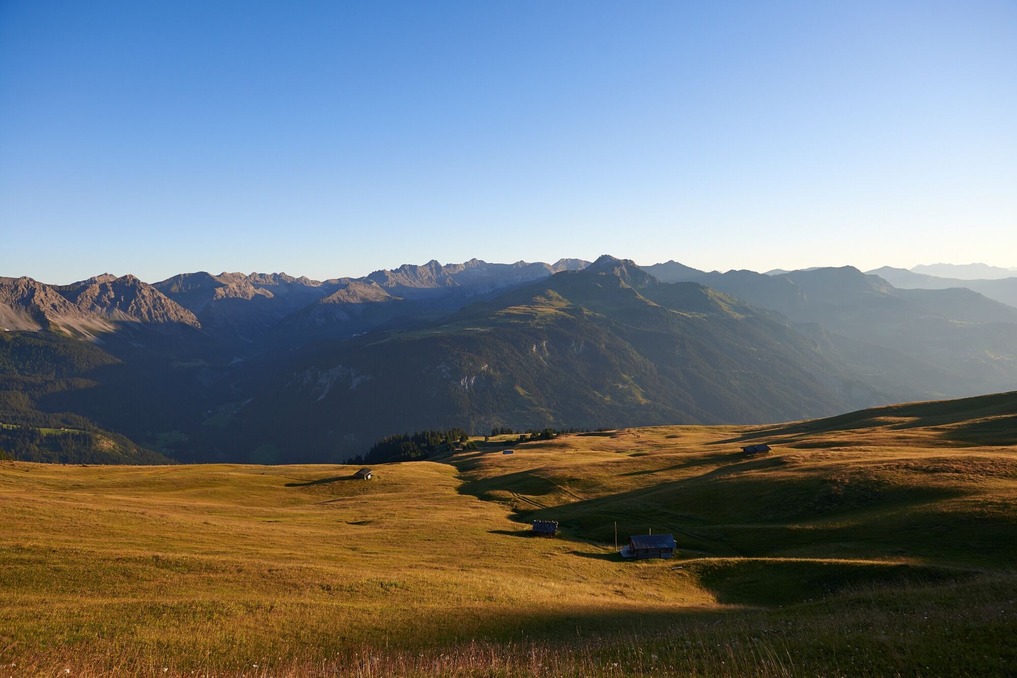
Six stages, almost 74 kilometres and around 3,500 metres in altitude: One of the most impressive stage hikes through Schanfigg. The individual stages are characterised by mountain lakes and old Walser settlements. In short, an impressive cultural hike through unique Alpine flora and mountain landscapes.
- Difficoltà
-
difficile
- Valutazione
-
- Percorso
-
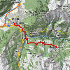
Coira (593 m)Martinskirche0,5 kmKapelle Alterssiedlung Bodmer0,9 kmAraschgen2,4 kmReformierte Kirche3,3 kmGasthaus zur Mühle3,5 kmPassugg3,6 kmGrida (942 m)4,4 kmAusserpraden7,6 kmPraden8,4 kmEdelweiss10,7 kmCentral10,9 kmTschiertschen (1.343 m)10,9 kmOchsenalp17,6 kmPrätschli21,9 kmArosa23,4 kmArosa (1.739 m)23,9 kmFurggaalp (1.695 m)26,3 kmTieja (1.986 m)29,2 kmTschuggen29,7 kmMedergen (2.000 m)31,0 kmAlpenrose31,0 kmJatz (1.831 m)34,6 kmBerggasthaus Heimeli34,6 kmStrela-Pass37,6 kmStrelapass37,6 kmBarga (1.994 m)45,1 kmReckholdern (1.960 m)46,0 kmBim Neue Hus46,9 kmStrassberg (1.919 m)47,5 kmAn der Alpa49,0 kmBlackter Fürggli (2.140 m)50,1 kmZalüenia55,3 kmIm Loos56,5 kmSkihaus Hochwang (1.958 m)56,6 kmBargun (1.774 m)59,8 kmLafet (1.856 m)60,9 kmHütta63,0 kmOber Platta63,1 kmZwüschet Platta63,3 kmBüel63,7 kmReformierte Kirche69,3 kmMaladers69,4 kmChisgruob69,9 kmTumma70,4 kmBrandacker70,8 kmAraschgen71,0 kmKapelle Alterssiedlung Bodmer72,2 kmMartinskirche72,8 kmCoira (593 m)73,4 kmChur (585 m)73,4 km
- La stagione migliore
-
genfebmaraprmaggiulugagosetottnovdic
- Punto più alto
- 2.622 m
- Destinazione
-
Railway station Chur
- Profilo altimetrico
-
 © outdooractive.com

- Autore
-
Il tour Schanfigger Höhenweg (Schanfigger high trail) è utilizzato da outdooractive.com fornito.
GPS Downloads


Info generali
Punto di ristoro
Culturale/Storico
Suggerimento
Promettente