© Projektbüro Saar-Hunsrück-Steig, Klaus-Peter Kappest

© Community - Wolfgang Staudt

© Günther Schneider

© Projektbüro Saar-Hunsrück-Steig, Klaus-Peter Kappest

© Community - Hans-Peter Kolf

© Community - Kathrin Selzer

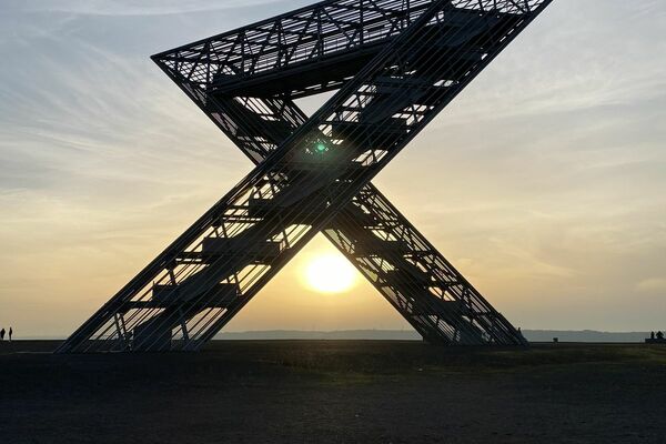
© Landkreis Saarlouis, Kolja Koglin

© Landkreis Saarlouis, Kolja Koglin

© Johannes Ruße


- Descrizione rapida
-
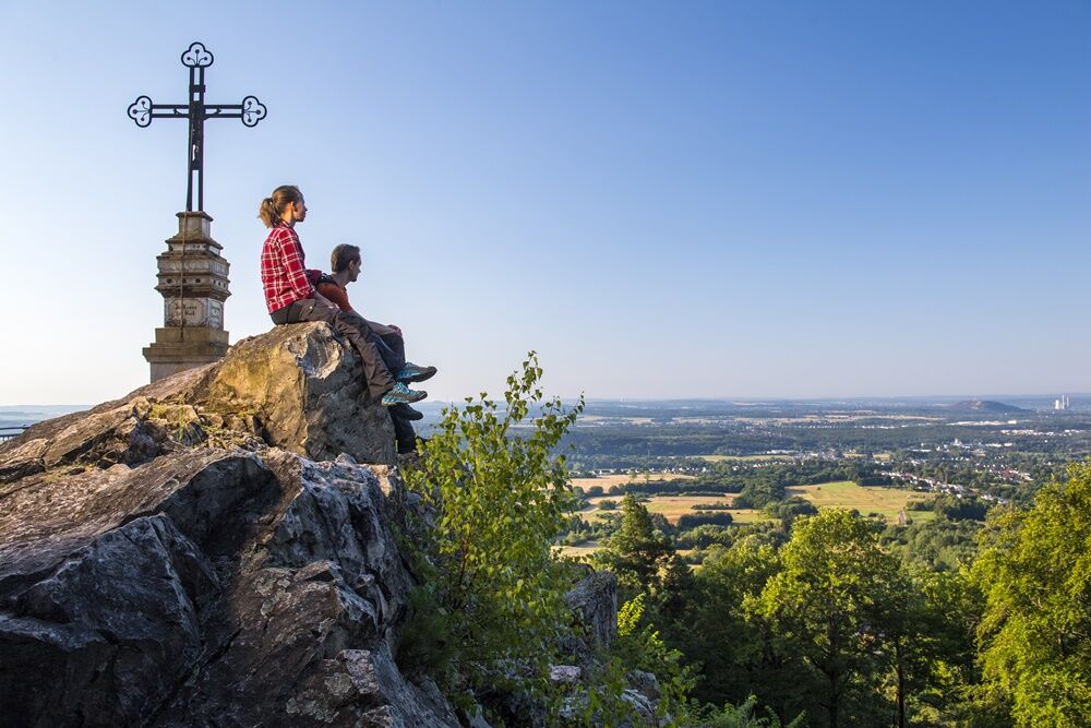
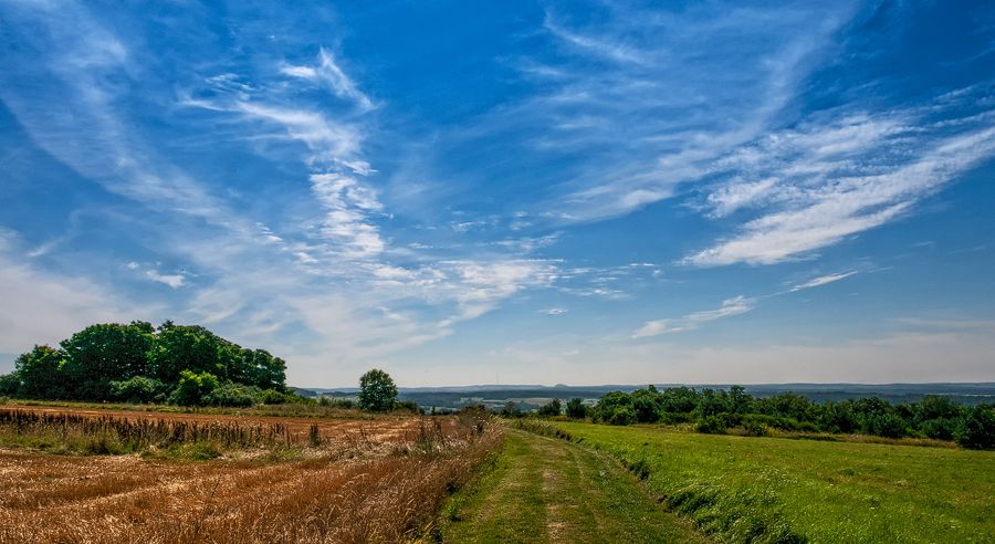
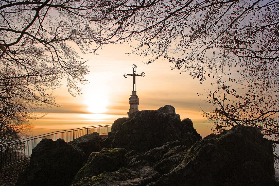
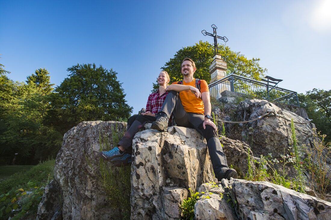
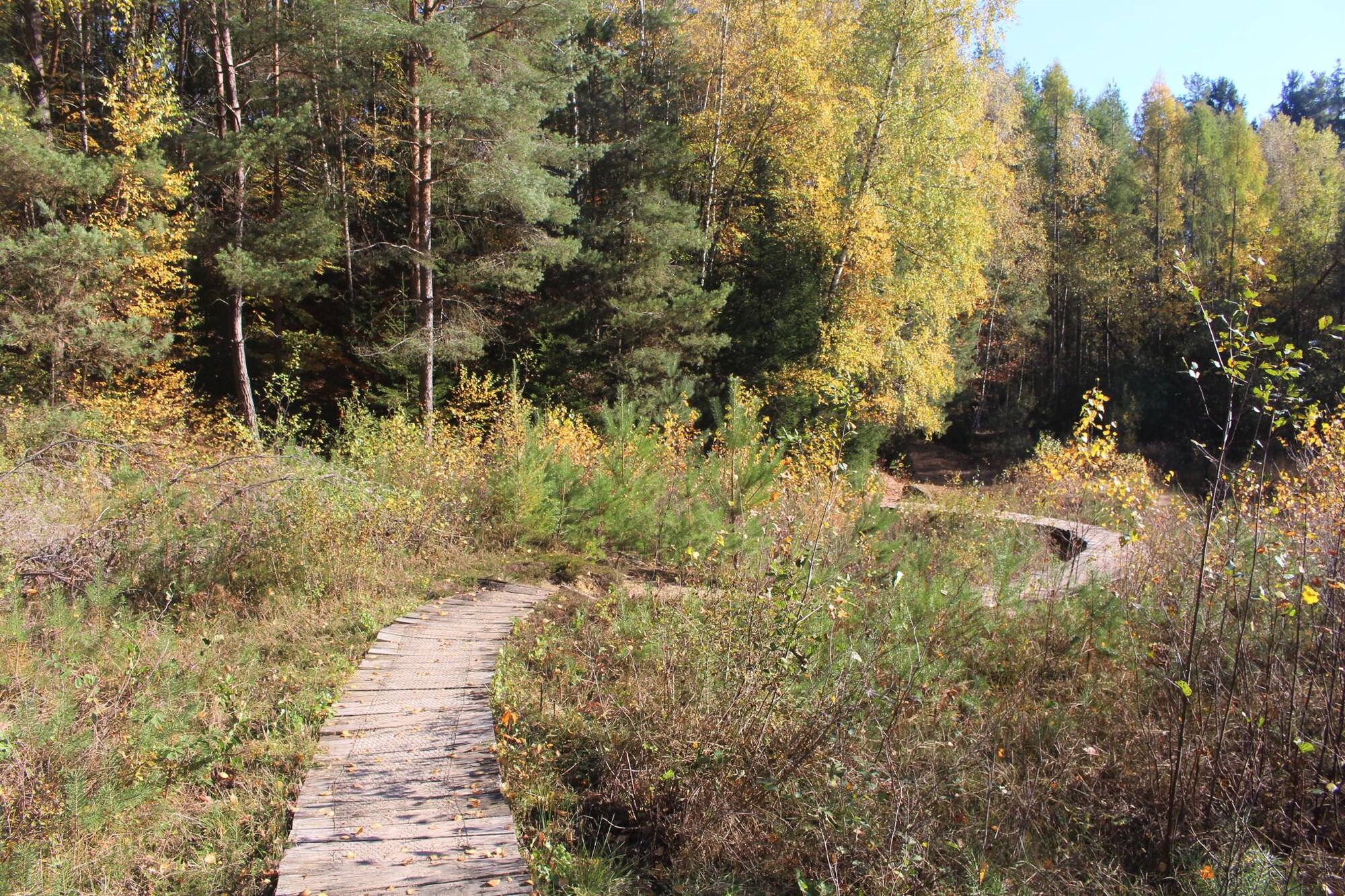
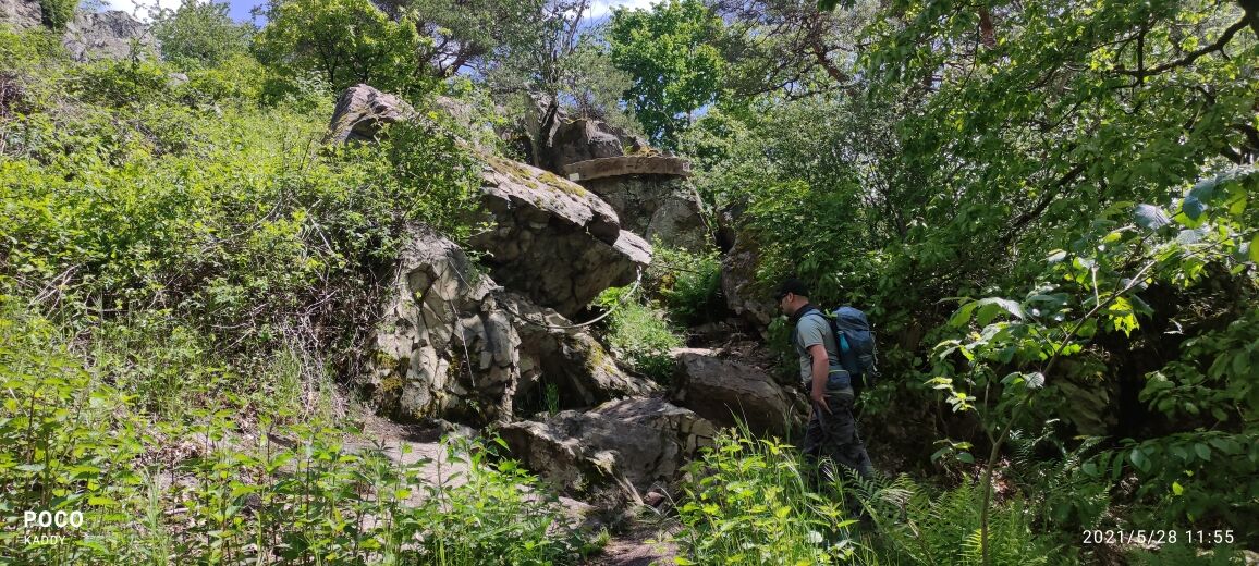
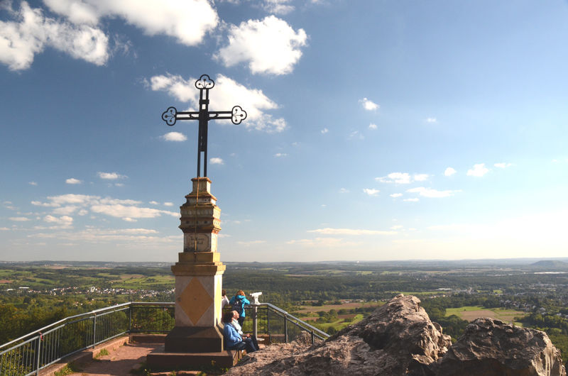
On “Germany’s most beautiful hiking trail 2007“ you will explore the rocky landscape around the Litermont peak. The path winds its way up the 414 meters high Litermont mountain, over rugged volcano rocks, forest paths and through hilly landscapes. On the way, hikers will encounter a willow dome and a Celtic ceremonial site.
- Difficoltà
-
intermedio
- Valutazione
-
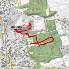
- Percorso
-
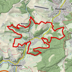
Etzelbachquelle0,4 kmMariengrotte1,5 kmKlingelborn4,7 kmHechtborn5,4 kmLitermont (414 m)7,2 kmAussicht am Litermont7,2 kmKletterwald8,3 km
- La stagione migliore
-
genfebmaraprmaggiulugagosetottnovdic
- Punto più alto
- 406 m
- Destinazione
-
Waldparkplatz Etzelbachstraße Nalbach, Am Litermont, 66809 Nalbach
- Profilo altimetrico
-
 © outdooractive.com
- Autore
-
Il tour Litermont Peak Tour è utilizzato da outdooractive.com fornito.
GPS Downloads


Info generali
Culturale/Storico
Flora
Promettente
Altri tour nelle regioni
-
Moselle
244
-
Willkommensregion Neunkirchen
420
-
Saarlouis
49