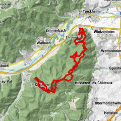
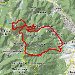
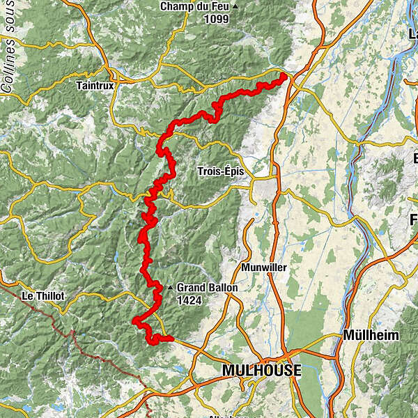
TMV® Vosges Mountains MTB trail : Châtenois - Thann

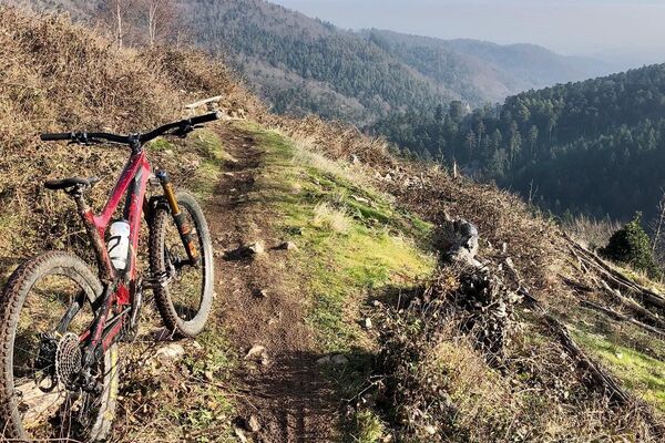
Mountainbike


- Descrizione rapida
-
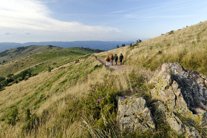
418 km AND 9 370m cumulated height difference from Wissembourg to Thann
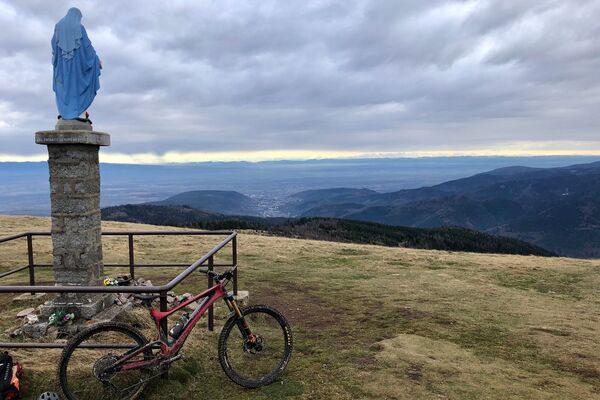
This long distance mountain-bike trail, with fourteen stages, has been designed and signposted by the Ligue d'Alsace de Cyclotourisme. This itinerary is ideal for mountain bikers who are fond of nature and culture. From the sandstone Northern Vosges to the granite Vosges Mountains further south, the trail takes you from Grand Wintersberg (581 m) via many summits to the Grand Ballon (1 424 m) passing through the Regional Nature Park of the Northern Vosges, acknowledged as a Biosphere Reserve by UNESCO, and the Regional Nature Park Ballons des Vosges.
- Difficoltà
-
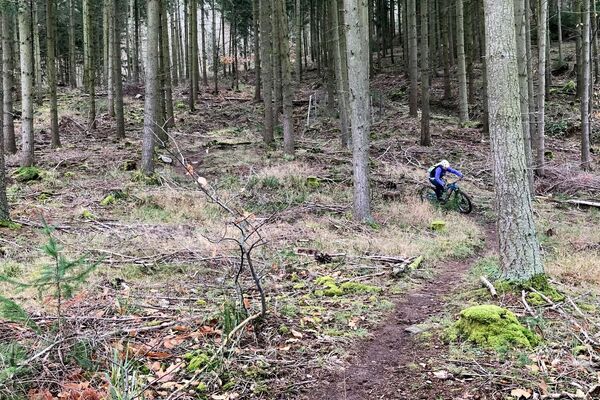
difficile
- Valutazione
-
- Percorso
-
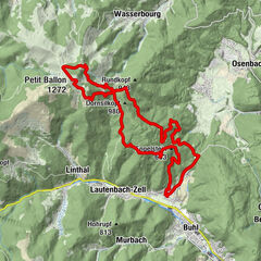
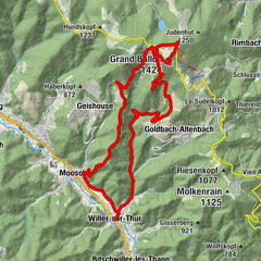
KestenholzLa Wick4,5 kmToter Mann7,2 kmAbri Pain d'Epice7,7 kmLe Gros Chêne9,2 kmCol du Schaentzel (584 m)11,9 kmHaut du Schillig14,1 kmRefuge du Spitzenberg14,6 kmLa Fontaine du Schillig14,7 kmCarrefour du Rotzel15,9 kmCol Haut de Ribeauvillé21,1 kmLe Bas Schluck27,0 kmÉglise Saint-Jacques-le-Majeur28,2 kmAltweier28,2 kmBelvédère du Col de Fréland28,8 kmFontaine36,5 kmPoil du Chien38,3 kmRelais Vosges-Alsace45,5 kmAuberge du Col du Bonhomme45,5 kmLes Balcons d'Orbey55,0 kmAuberge du Lac Noir59,6 kmLe Schoultzbach60,4 kmCarrefour des Hautes-Huttes (987 m)61,4 kmSchluchtmatt (790 m)76,4 kmGaschneyried80,1 kmGaschney (996 m)81,8 kmSchiesseren83,8 kmSillacker89,0 kmSommerlitt90,1 kmWaldmatt91,4 kmGuetle93,1 kmHôtel Restaurant Bar Valneige94,4 kmÉglise de l'Immaculée Conception94,4 kmSchmelz94,5 kmMittlach94,5 kmHaut Mittlach95,9 kmBreitfirst108,0 kmAuberge du Steinlebach109,9 kmMarkstein111,9 kmFerme Auberge du Markstein112,4 kmWeisse Rudel117,8 kmBessayfels (1.044 m)118,7 kmGeishausen121,4 kmL'Auberge des Vosges121,7 kmÉglise Saint-Sébastien121,9 kmSchalotmatt122,1 kmIn der Lache122,2 kmKreischemung122,3 kmLitzelbachmatt126,0 kmLe Coin des Délices126,9 kmO'Malo126,9 kmMoosch127,0 kmIm Gaessel127,4 kmPfaffenmatt127,5 kmBalzermaettel127,9 kmBaerenmaettel128,7 kmSchmelzmatten129,2 kmCascade du Bubalafels129,5 kmAbri du Blaufels134,8 kmPlace Louis Zundel136,0 kmKuppel Thann140,2 kmUberzwerche Wand141,1 kmWand141,1 kmAbri Baumann141,5 kmWeierle141,5 kmPlan Diebold-Scherrer143,4 kmScheckmatten144,0 kmPlace du Roi de Rome (550 m)145,2 kmHinter der Stadt147,6 kmThann148,5 km
- La stagione migliore
-
genfebmaraprmaggiulugagosetottnovdic
- Punto più alto
- 1.250 m
- Destinazione
-
Thann
- Profilo altimetrico
-
 © outdooractive.com
-

-
AutoreIl tour TMV® Vosges Mountains MTB trail : Châtenois - Thann è utilizzato da outdooractive.com fornito.
GPS Downloads


Percorsi
Trial
Info generali
Punto di ristoro
Culturale/Storico
Promettente
Altri tour nelle regioni
-
Haut-Rhin
101
-
Vallée de Munster
81