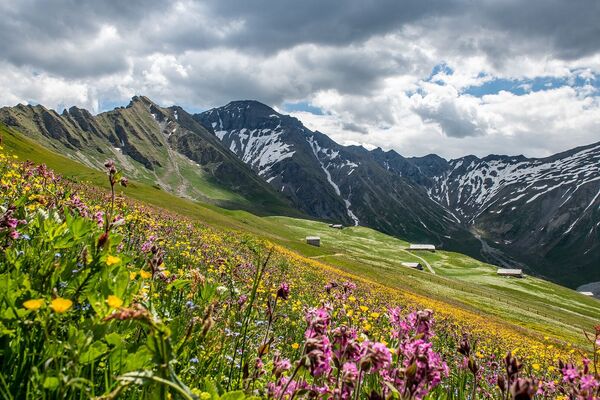
© Glacier 3000 AG - Glacier 3000

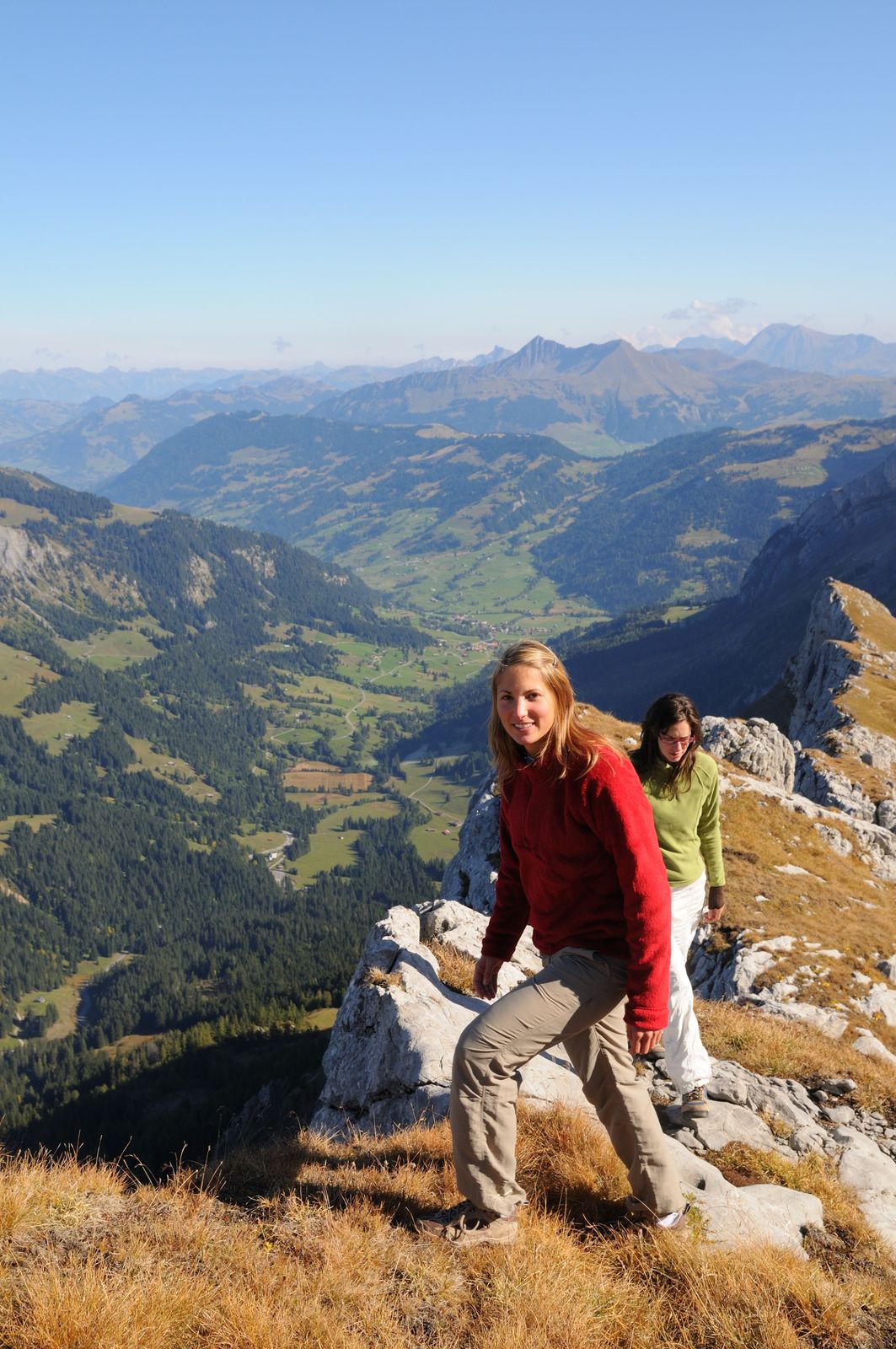
© Glacier 3000 AG - Glacier 3000

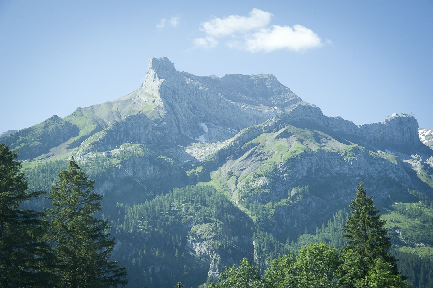
© Glacier 3000 AG - Glacier 3000

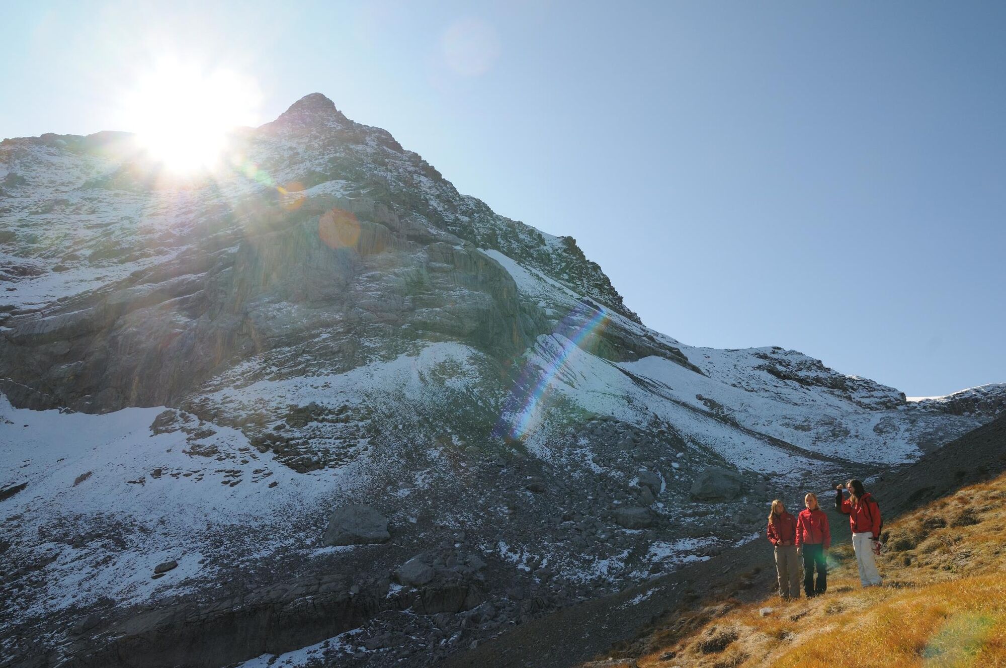
© Glacier 3000 AG - Glacier 3000


- Descrizione rapida
-
alpine route for athletic hikers
- Difficoltà
-
difficile
- Valutazione
-
- Percorso
-
Reusch0,0 kmOldenegg (1.922 m)4,0 kmTête aux Chamois (2.525 m)6,7 kmCol de Prapio (2.831 m)9,2 kmBotta9,9 km
- La stagione migliore
-
genfebmaraprmaggiulugagosetottnovdic
- Punto più alto
- 2.916 m
- Destinazione
-
Scex Rouge (2’940 m)
- Profilo altimetrico
-
 © outdooractive.com
- Autore
-
Il tour Through the wild landscape è utilizzato da outdooractive.com fornito.
GPS Downloads


Info generali
Punto di ristoro
Promettente
Altri tour nelle regioni
-
Thyon les Collons
1426
-
Coteaux du Soleil
604
-
Gsteig bei Gstaad
170