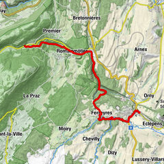
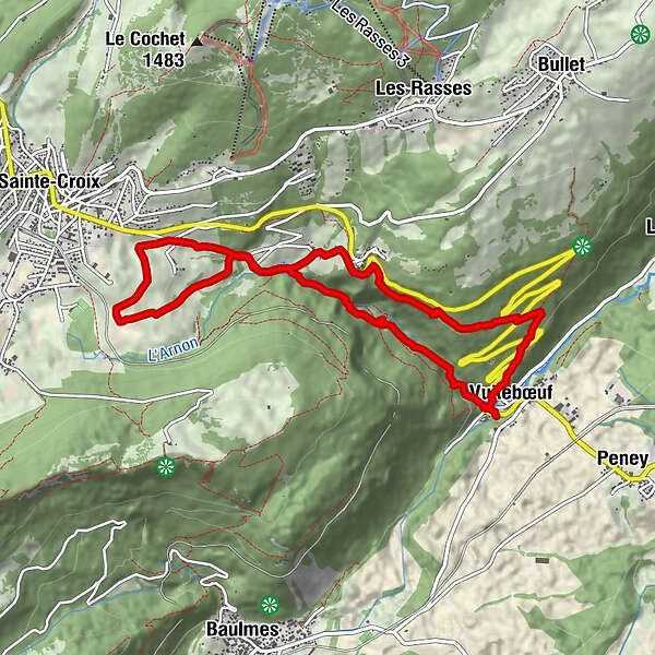
gorges-de-covatannaz

Logo gorges-de-covatannaz
Dati percorsi
10,12km
593 - 1.049m
Distanz
562hm
575hm
L'ascesa
02:49h
 
Durata
Descrizione rapida

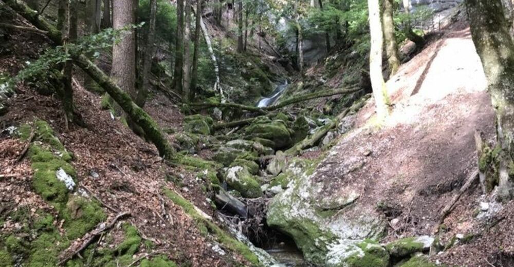
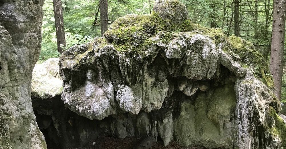
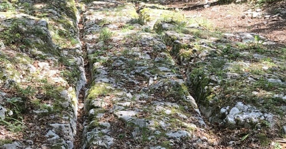
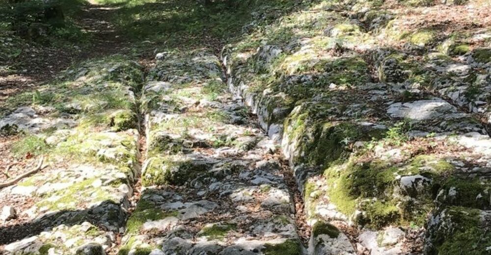
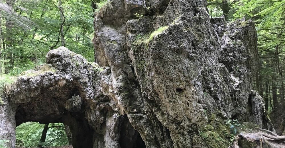
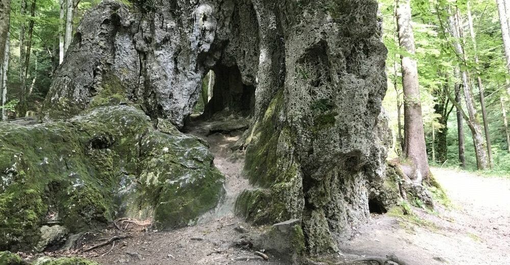
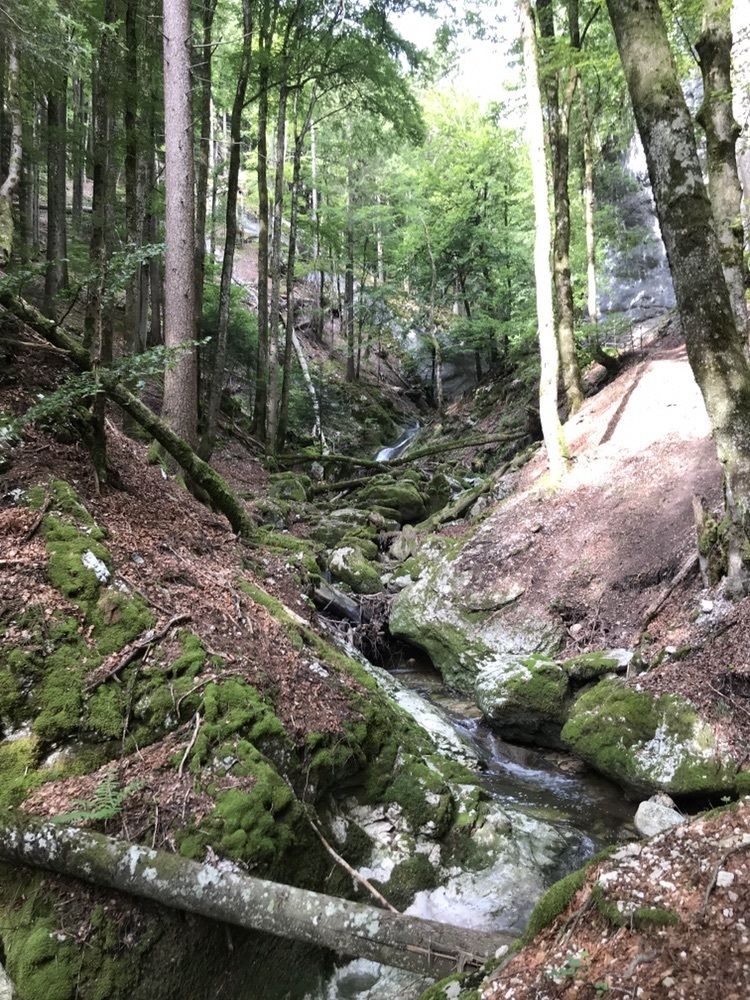
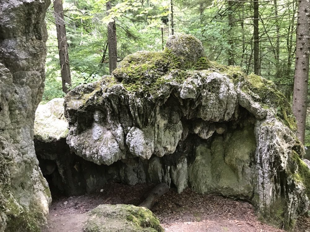
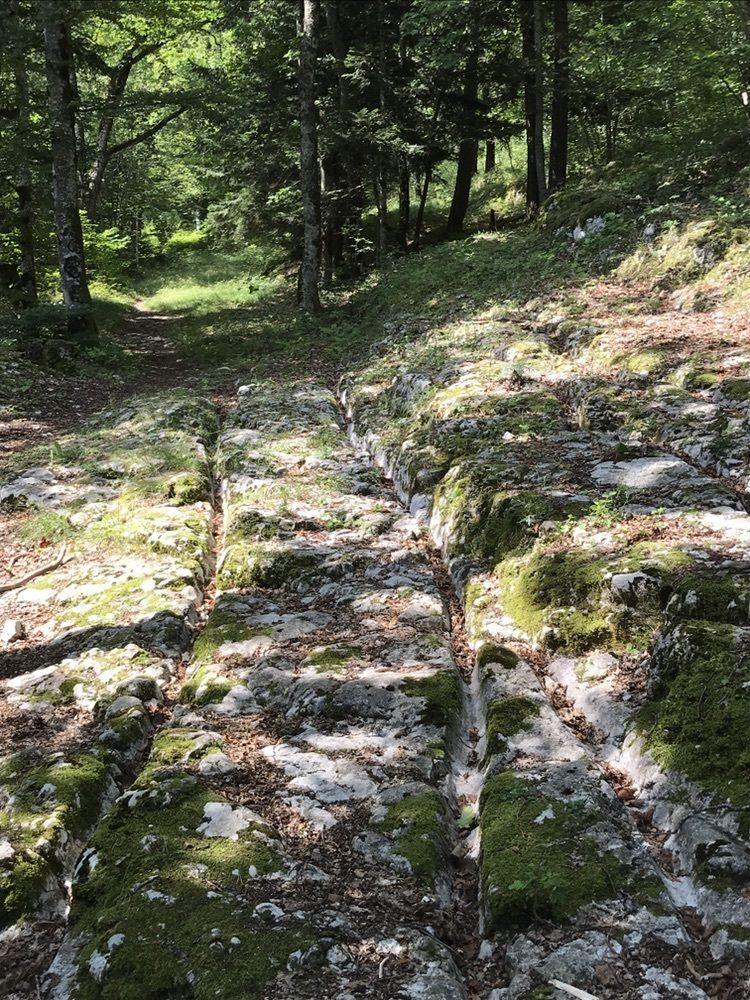
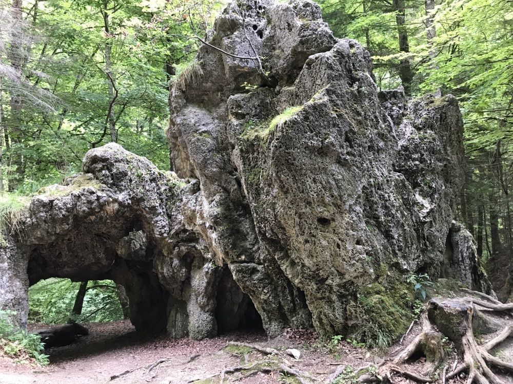
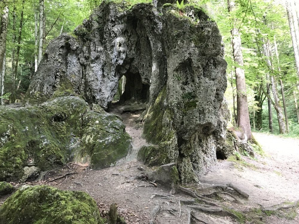
Durch die Schlucht nach Saint Croix und über den Römerweg zurück.

Difficoltà
facile
Valutazione
Tecnica
Forma fisica
Panorama
Avventura / Esperienza
Percorso
Vuitebœuf (589 m)
0,0 km
Cascades du Covatanne
1,6 km
La Villette
2,2 km
Vers-Chez-Jaccard
5,0 km
La Villette
6,1 km
Le Château de Sainte-Croix
6,9 km
Hôtel de l'Ours, Restaurant
10,1 km
Vuitebœuf (589 m)
10,1 km

Punto più alto
1.049 m

1,0
Valutazione complessiva

5

0

%

4

0

%

3

0

%

2

0

%

1

100

%

GPS Downloads
  • GPX GPS Exchange Format (XML)
  • KML Google Earth, Google Maps
Codici di download QR per telefoni cellulari
Altri tour nelle regioni

Tour popolari della zona

Von Le Pont auf die Dent de Vaulion

intermedio Escursionismo
10,36km | 440hm | 03:30h

Von Noiraigue nach Creux du Van

intermedio Escursionismo
14,3km | 750hm | 04:30h

La Scie de la Diaz

intermedio Escursionismo
14,79km | 119hm | 04:00h